Chaddesley Corbett

Settlement in Worcestershire Wyre Forest

England

Chaddesley Corbett

Tanwood House near Chaddesley Corbett
Tanwood House near Chaddesley Corbett Credit: Philip Halling

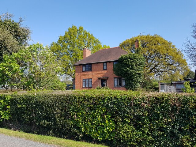
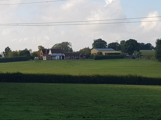
Chaddesley Corbett is a charming village located in the county of Worcestershire, England. Situated approximately 16 miles south-west of the city of Birmingham, the village is nestled in a picturesque rural setting, surrounded by rolling hills and lush green countryside.

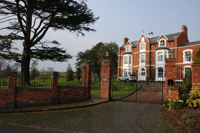
With a population of around 2,500 residents, Chaddesley Corbett maintains a strong sense of community and offers a peaceful and idyllic lifestyle. The village is known for its historic buildings, such as St. Cassian's Church, which dates back to the 12th century and features stunning architectural details.

The village center boasts a range of amenities, including a post office, village shop, and a selection of quaint pubs and restaurants. These establishments not only provide essential services but also serve as popular gathering spots for locals and visitors alike.

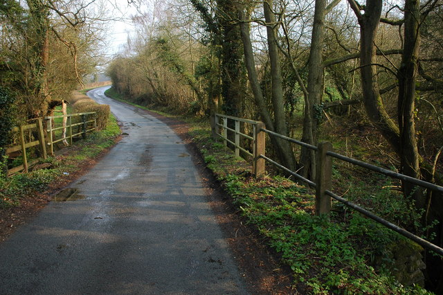
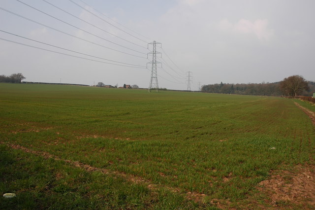
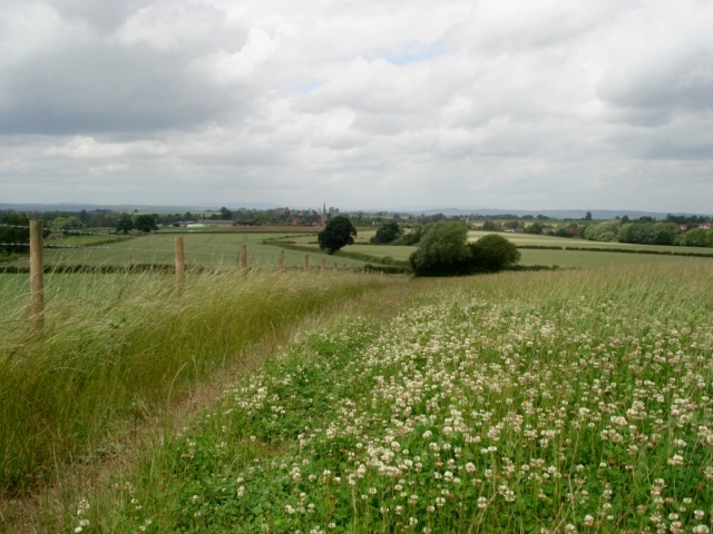
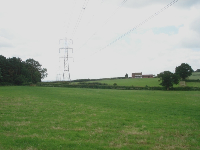
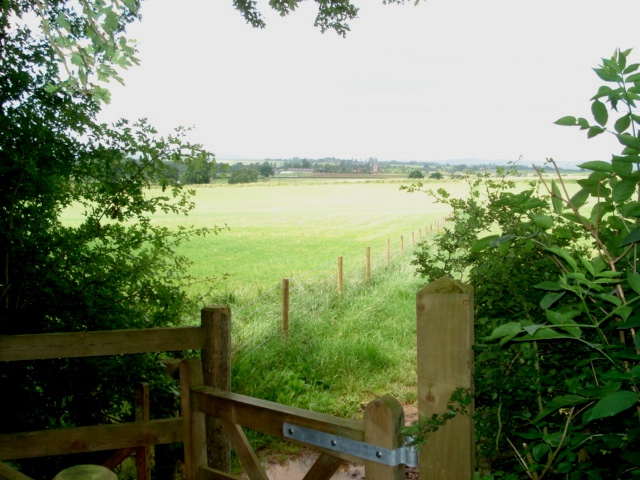
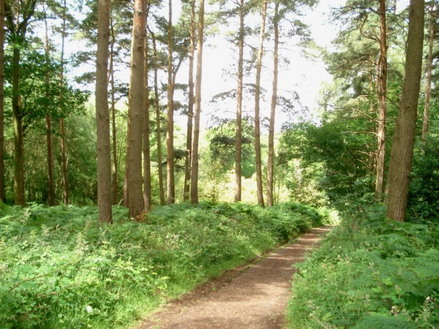
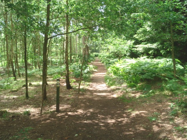
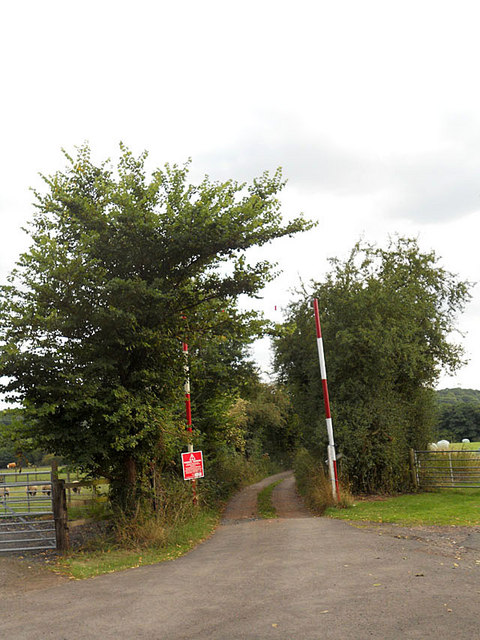
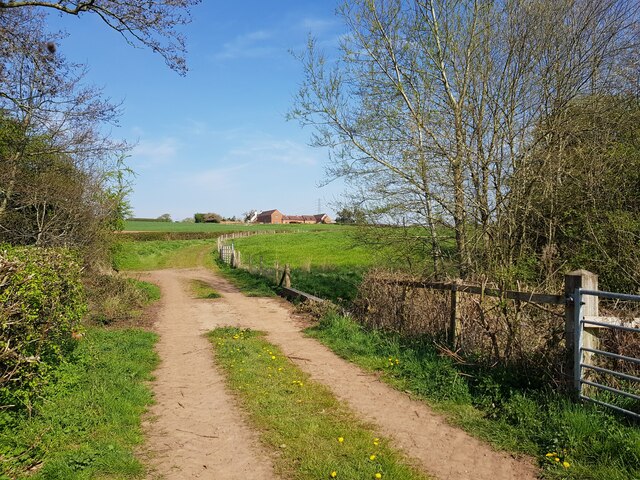
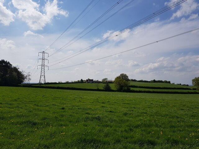
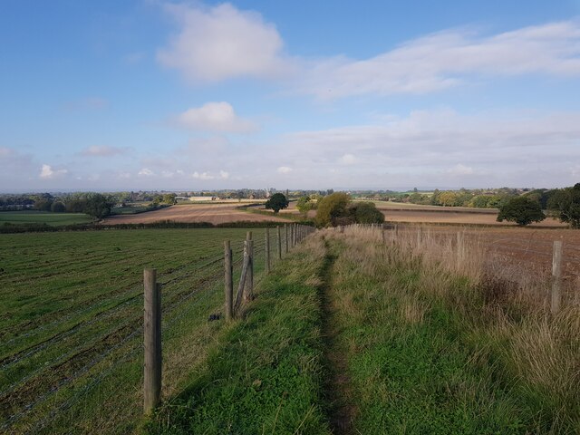
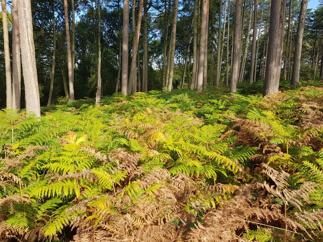
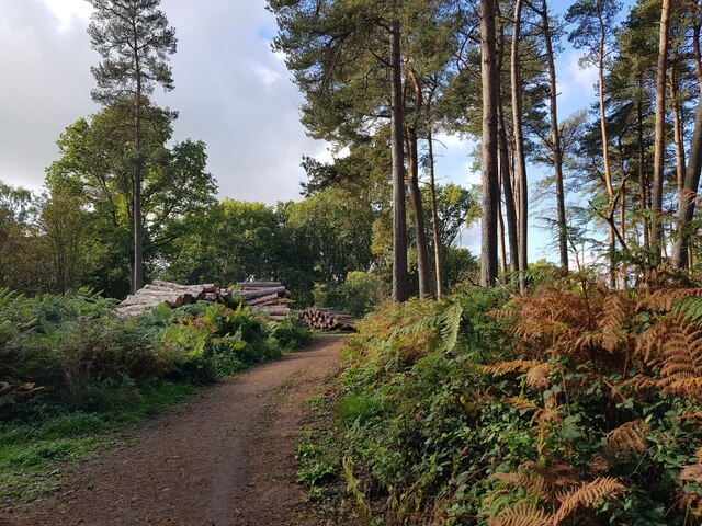
Chaddesley Corbett is also renowned for its beautiful countryside, making it an ideal location for outdoor enthusiasts. The village is surrounded by numerous walking trails and bridleways, allowing residents to explore the stunning Worcestershire countryside at their leisure. Additionally, the nearby Clent Hills and Wyre Forest offer further opportunities for outdoor adventures, including hiking, cycling, and horse riding.

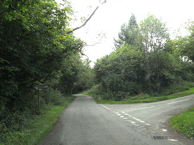
The village is well-connected to neighboring towns and cities via road links, with the M5 motorway located just a short distance away. This allows residents to easily access nearby attractions, such as the historic city of Worcester and the vibrant city of Birmingham.

Overall, Chaddesley Corbett offers a tranquil and picturesque setting, combined with a strong community spirit and convenient access to amenities and surrounding areas, making it a highly desirable place to live or visit.

If you have any feedback on the listing, please let us know in the comments section below.

Chaddesley Corbett Images

Images are sourced within 2km of 52.362468/-2.158922 or Grid Reference SO8973. Thanks to Geograph Open Source API. All images are credited.

Tanwood House near Chaddesley Corbett
Bridge over Hockley Brook
Pylons and farmland near Woodcote Green
'Property with potential....' at Tanwood
Clover field near Chaddesley Wood The path from the wood leads to Chaddesley Corbett village in the distance. The church spire is just visible.
Clover field near Chaddesley Wood
The path from the wood leads to Chaddesley Corbett village in the distance. The church spire is just visible.
Chaddesley Wood Farm With Chaddesley Wood to the left.
Chaddesley Wood Farm
With Chaddesley Wood to the left.
View from the edge of Chaddesley Wood
Chaddesley Wood This wood is managed by Natural England (ex English Nature) and it is a designated National Nature Reserve. It was once part of the Royal Hunting Forest of Feckenham and there are many interesting walks.
<span class="nowrap"><a title="http://worcestershire.whub.org.uk/cms/environment-and-planning/countryside/waymarked-walks/off-site-circular-trails/royal-hunters-walks.aspx" rel="nofollow ugc noopener" href="http://worcestershire.whub.org.uk/cms/environment-and-planning/countryside/waymarked-walks/off-site-circular-trails/royal-hunters-walks.aspx">Link</a><img style="margin-left:2px;" alt="External link" title="External link - shift click to open in new window" src="https://s1.geograph.org.uk/img/external.png" width="10" height="10"/></span>
Chaddesley Wood
This wood is managed by Natural England (ex English Nature) and it is a designated National Nature Reserve. It was once part of the Royal Hunting Forest of Feckenham and there are many interesting walks. LinkExternal link
Path junction in Chaddesley Wood
Access is limited
Access is limited
Lane junction near Bournes Green
Footbridge between Woodside Farm and Swancote Farm, Chaddesley Corbett Over the Hockley Brook.
Footbridge between Woodside Farm and Swancote Farm, Chaddesley Corbett
Over the Hockley Brook.
House at Tanwood Cross
Pylons near Chaddesley Woods
Path to the village from Chaddesley Woods
Tagg Farm, Chaddesley Corbett
Bracken, Chaddesley Woods
Log-pile on forest track, Chaddesley Wood
Show me another place!

Chaddesley Corbett is located at Grid Ref: SO8973 (Lat: 52.362468, Lng: -2.158922)

Administrative County: Worcestershire

District: Wyre Forest

Police Authority: West Mercia

What 3 Words

///cashew.whizzed.reference. Near Belbroughton, Worcestershire

Nearby Locations

Chaddesley Corbett

Related Wikis

Chaddesley Corbett

Chaddesley Corbett is a village and civil parish in the Wyre Forest District of Worcestershire, England. The Anglican and secular versions of the parish...

Tanwood

Tanwood is a hamlet in the English county of Worcestershire. It lies about one mile northeast of the village of Chaddesley Corbett and forms part of the...

Harvington Hall

Harvington Hall is a moated medieval and Elizabethan manor house in the hamlet of Harvington in the civil parish of Chaddesley Corbett, southeast of Kidderminster...

Chaddesley Woods National Nature Reserve

Chaddesley Woods National Nature Reserve is situated near the village of Chaddesley Corbett, in Worcestershire, England. It is a reserve of the Worcestershire...

Nearby Amenities

Located within 500m of 52.362468,-2.158922
Telephone
Defibrillator
Booth: K6
Covered: booth
Defibrillator Location: inside old red phone box,Chaddesley Corbett
Emergency: defibrillator
Listed Status: Grade II
Man Made: telephone_box
Lat/Long: 52.3606092/-2.159954
Bus Stop
Chaddesley Corbett Turn
Bus: yes
Naptan AtcoCode: 2000G018500
Naptan Bearing: E
Naptan BusStopType: CUS
Naptan CommonName: Chaddesley Corbett Turn
Naptan Indicator: adj
Naptan NaptanCode: wocdjmgp
Naptan PlusbusZoneRef: KDRMNST
Naptan Street: Kidderminster Road
Naptan Verified: no
Public Transport: platform
Source: naptan_import
Lat/Long: 52.3595539/-2.1617933
Bus Stop
Talbot Inn
Bus: yes
Naptan AtcoCode: 2000G018501
Naptan Bearing: NE
Naptan BusStopType: CUS
Naptan CommonName: Talbot Inn
Naptan Indicator: opp
Naptan Landmark: Talbot Inn
Naptan NaptanCode: wocdjmgt
Naptan PlusbusZoneRef: KDRMNST
Naptan Street: Village Centre
Naptan Verified: no
Public Transport: platform
Source: naptan_import
Lat/Long: 52.3605364/-2.159976
Bus Stop
Talbot Inn
Bus: yes
Naptan AtcoCode: 2000G018502
Naptan Bearing: SW
Naptan BusStopType: CUS
Naptan CommonName: Talbot Inn
Naptan Indicator: adj
Naptan Landmark: Talbot Inn
Naptan NaptanCode: wocdjmgw
Naptan PlusbusZoneRef: KDRMNST
Naptan Street: Village Centre
Naptan Verified: no
Public Transport: platform
Source: naptan_import
Lat/Long: 52.3603656/-2.1599753
Bus Stop
Malvern View
Bus: yes
Naptan AtcoCode: 2000G198200
Naptan Bearing: NE
Naptan CommonName: Malvern View
Naptan Indicator: opp
Naptan Landmark: Malvern View
Naptan NaptanCode: wocdjwmd
Naptan PlusbusZoneRef: KDRMNST
Naptan Street: Briar Hill
Naptan Verified: no
Public Transport: platform
Source: naptan_import
Lat/Long: 52.3652861/-2.1578636
Bus Stop
Malvern View
Bus: yes
Naptan AtcoCode: 2000G198201
Naptan Bearing: SW
Naptan BusStopType: CUS
Naptan CommonName: Malvern View
Naptan Indicator: opp
Naptan Landmark: Malvern View
Naptan NaptanCode: wocdjwmg
Naptan PlusbusZoneRef: KDRMNST
Naptan Street: Briar Hill
Naptan Verified: no
Public Transport: platform
Source: naptan_import
Lat/Long: 52.3653495/-2.1575407
Bus Stop
Chaddesley Corbett Turn
Bench: yes
Bus: yes
Naptan AtcoCode: 2000G581593
Naptan Bearing: W
Naptan BusStopType: CUS
Naptan CommonName: Chaddesley Corbett Turn
Naptan Indicator: opp
Naptan NaptanCode: wocgmwdw
Naptan PlusbusZoneRef: KDRMNST
Naptan Street: Kidderminster Road
Naptan Verified: no
Public Transport: platform
Shelter: yes
Source: naptan_import
Lat/Long: 52.359565/-2.1624807
Footway
Lat/Long: 52.3612613/-2.1583505
War Memorial
Historic: memorial
Lat/Long: 52.3601242/-2.1604888
Historic: wayside_cross
Source: visual survey;bing
Lat/Long: 52.3601365/-2.1609975
Post Box
Operator: Royal Mail
Operator Wikidata: Q638098
Post Box Type: lamp
Ref: DY10 232D
Royal Cypher: EIIR
Royal Cypher Wikidata: Q33102113
Lat/Long: 52.3654311/-2.1575515
Telephone
Booth: K6
Covered: booth
Operator: BT
Phone: +44 1562 777341
Lat/Long: 52.3654132/-2.1575565
Bench
Backrest: yes
Material: wood
Seats: 2
Lat/Long: 52.3611644/-2.1570928
Bench
Backrest: yes
Material: wood
Seats: 2
Lat/Long: 52.3612663/-2.1571296
Bench
Backrest: yes
Material: wood
Seats: 2
Lat/Long: 52.3613858/-2.1570598
Bench
Backrest: yes
Material: wood
Seats: 2
Lat/Long: 52.3614235/-2.1568292
Bench
Backrest: yes
Material: wood
Seats: 2
Lat/Long: 52.3613776/-2.1567004
Bench
Backrest: yes
Material: wood
Seats: 2
Lat/Long: 52.3612876/-2.1566138
Bench
Backrest: yes
Material: wood
Seats: 2
Lat/Long: 52.3612126/-2.1566233
Bench
Backrest: yes
Material: wood
Seats: 2
Lat/Long: 52.3611376/-2.1566833
Bench
Backrest: yes
Material: wood
Seats: 2
Lat/Long: 52.3610743/-2.1569494
Bench: yes
Leisure: picnic_table
Lit: no
Material: wood
Lat/Long: 52.3610243/-2.156551
Bench: yes
Leisure: picnic_table
Lit: no
Material: wood
Lat/Long: 52.3611484/-2.1563641
Information: board
Operator: Chaddesley Corbett PC
Tourism: information
Lat/Long: 52.3611976/-2.1565836
Bench
Backrest: yes
Material: wood
Seats: 2
Lat/Long: 52.3612783/-2.1574021
The data included in this document is from www.openstreetmap.org. The data is made available under ODbL.

Have you been to Chaddesley Corbett?

Leave your review of Chaddesley Corbett below (or comments, questions and feedback).