Sunnyside Strip

Wood, Forest in East Lothian

Scotland

Sunnyside Strip

Rural East Lothian : The Pond Beside The Track From East Fortune to Brownrigg The track across the fields from East Fortune to Brownrigg passes this delightful pond, which is surrounded by trees. On this afternoon the air was alive with the sound of honking geese.
Rural East Lothian : The Pond Beside The Track From East Fortune to Brownrigg Credit: Richard West

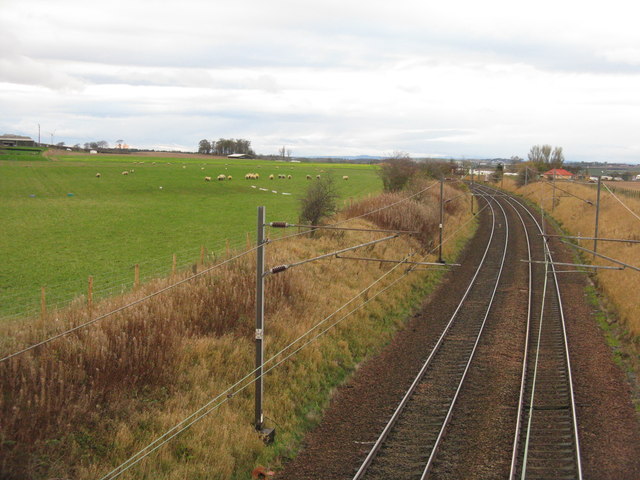
Sunnyside Strip is a picturesque woodland area located in East Lothian, Scotland. Situated in the southeastern part of the country, this woodland expanse is known for its natural beauty and tranquility. Spanning over several acres, Sunnyside Strip is a popular destination for nature enthusiasts and hikers, offering a serene escape from the bustling city life.

The woodland is predominantly filled with a variety of tall, majestic trees that provide ample shade and a sense of seclusion. Native species such as oak, beech, and pine can be found scattered throughout the area, creating a diverse and vibrant ecosystem. The forest floor is covered in a lush carpet of ferns and wildflowers, adding to the enchanting ambiance.

Sunnyside Strip is crisscrossed by a network of well-maintained trails, making it an ideal location for leisurely walks or more challenging hikes. These paths wind through the woods, offering glimpses of wildlife and opportunities for birdwatching. Visitors may spot a range of bird species, including woodpeckers, owls, and various songbirds.

The strip is also home to a small, meandering stream that adds to the charm of the area. The gentle babbling of the water provides a soothing soundtrack as visitors explore the woodland.

Overall, Sunnyside Strip in East Lothian is a natural gem, offering a peaceful retreat for those seeking solace in nature. With its diverse flora and fauna, well-maintained trails, and tranquil atmosphere, it is a must-visit destination for any nature lover in the region.

If you have any feedback on the listing, please let us know in the comments section below.

Sunnyside Strip Images

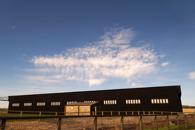
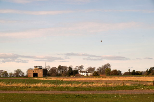
Images are sourced within 2km of 55.994488/-2.7158697 or Grid Reference NT5578. Thanks to Geograph Open Source API. All images are credited.

Rural East Lothian : The Pond Beside The Track From East Fortune to Brownrigg The track across the fields from East Fortune to Brownrigg passes this delightful pond, which is surrounded by trees. On this afternoon the air was alive with the sound of honking geese.
Rural East Lothian : The Pond Beside The Track From East Fortune to Brownrigg
The track across the fields from East Fortune to Brownrigg passes this delightful pond, which is surrounded by trees. On this afternoon the air was alive with the sound of honking geese.
Rural East Lothian : On the Track To Brownrigg Brownrigg Farm is in the distance.
Rural East Lothian : On the Track To Brownrigg
Brownrigg Farm is in the distance.
Winter wheat at Beanston Mains With the large steading across the field.
Winter wheat at Beanston Mains
With the large steading across the field.
Beanston Mains cottages A smart row of farm cottages.
Beanston Mains cottages
A smart row of farm cottages.
Country road in November Looking south from Gilmerton. Mostly elms [I think], with an elder in the foreground.
Country road in November
Looking south from Gilmerton. Mostly elms [I think], with an elder in the foreground.
Winter cereal at Gilmerton With a tramline to allow subsequent passage of tractors for spraying etc.
Winter cereal at Gilmerton
With a tramline to allow subsequent passage of tractors for spraying etc.
Fieldscape at Gilmerton Looking southeast across the shallow valley of the Peffer Burn.
Fieldscape at Gilmerton
Looking southeast across the shallow valley of the Peffer Burn.
The East Coast Main Line at East Fortune Looking southeast from the B1377 bridge over the railway. The Melville Motor Club's East Fortune Race Circuit is to the right. The black dot is a pigeon.
The East Coast Main Line at East Fortune
Looking southeast from the B1377 bridge over the railway. The Melville Motor Club's East Fortune Race Circuit is to the right. The black dot is a pigeon.
The East Coast Main Line at East Fortune Looking west from the B1377 road bridge over the line.
The East Coast Main Line at East Fortune
Looking west from the B1377 road bridge over the line.
Fields at East Fortune Taken from the entrance to a Caravan Club site, simply because I saw a buzzard perched and hope to get it on camera; failed! The East Coast Main Line runs in the dip between the grass field and the ploughed one - the electricity supply can just be seen. The red shed is at Brownrigg Farm.
Fields at East Fortune
Taken from the entrance to a Caravan Club site, simply because I saw a buzzard perched and hope to get it on camera; failed! The East Coast Main Line runs in the dip between the grass field and the ploughed one - the electricity supply can just be seen. The red shed is at Brownrigg Farm.
Stripwood near Markle Between the road and a vast field.
Stripwood near Markle
Between the road and a vast field.
Oilseed rape near Markle East Lothian arable land.
Oilseed rape near Markle
East Lothian arable land.
The Avro Vulcan at the Museum of Flight Viewed from inside the building with the interactive exhibits.
The Avro Vulcan at the Museum of Flight
Viewed from inside the building with the interactive exhibits.
Hangar at the Museum of Flight
Former control tower at East Fortune airfield
Supermarine Spitfire at Museum of Flight, East Fortune A rather more dynamic display than when I last photographed the same plane.
Supermarine Spitfire at Museum of Flight, East Fortune
A rather more dynamic display than when I last photographed the same plane.
Hawker Siddely Harrier 'Jump Jet' at the Museum of Flight, East Fortune
English Electric Lightning at Museum of Flight, East Fortune
Show me another place!

Sunnyside Strip is located at Grid Ref: NT5578 (Lat: 55.994488, Lng: -2.7158697)

Unitary Authority: East Lothian

Police Authority: The Lothians and Scottish Borders

What 3 Words

///clips.exporters.segments. Near East Linton, East Lothian

Nearby Locations

Sunnyside Strip

Related Wikis

National Museum of Flight

The National Museum of Flight is Scotland's national aviation museum, at East Fortune Airfield, just south of the village of East Fortune, Scotland. It...

RAF East Fortune

Royal Air Force East Fortune, or more simply RAF East Fortune, is a former Royal Air Force station located just south of the village of East Fortune. It...

East Fortune

East Fortune is a village in East Lothian, Scotland, located 2 miles (3 km) north west of East Linton. The area is known for its airfield which was constructed...

East Fortune railway station

East Fortune railway station served the village of East Fortune, East Lothian, Scotland from 1848 to 1970 on the North British Railway Main Line. ��2...

Nearby Amenities

Located within 500m of 55.994488,-2.7158697
Bus Stop
Museum of Flight
Naptan AtcoCode: 627009050370
Naptan Bearing: W
Naptan CommonName: Museum of Flight
Naptan Indicator: at Reception
Naptan NaptanCode: 58234375
Naptan Street: Private Road
Naptan Verified: no
Source: naptan_import
Lat/Long: 55.9956101/-2.7168972
Post Box
Collection Times: Mo-Fr 10:30; Sa 09:00
Post Box Type: pillar
Ref: EH39 361
Royal Cypher: EVIIR
Royal Cypher Wikidata: Q33102324
Lat/Long: 55.9957716/-2.7172014
Cafe
Lat/Long: 55.99596/-2.717472
The data included in this document is from www.openstreetmap.org. The data is made available under ODbL.

Have you been to Sunnyside Strip?

Leave your review of Sunnyside Strip below (or comments, questions and feedback).