Muirake Plantation

Wood, Forest in Banffshire

Scotland

Muirake Plantation

Wind Turbine at Muirake One of a pair by B9022, close to Muirake Cottages.
Wind Turbine at Muirake Credit: Stanley Howe

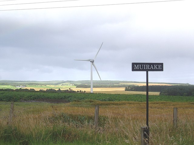
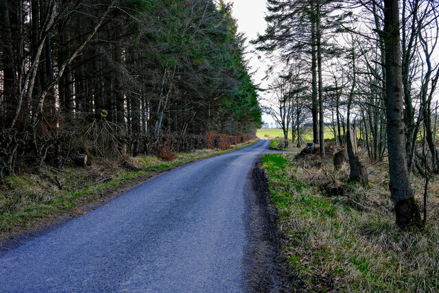
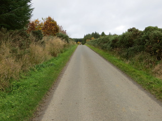
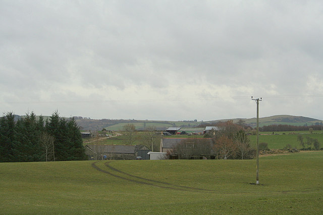
Muirake Plantation is a captivating woodland stretching across the picturesque region of Banffshire, Scotland. Enveloped by serene landscapes and nestled amidst the rolling hills, this plantation is a nature lover's paradise. With an area spanning over several hectares, Muirake Plantation is a significant contributor to the local ecosystem and plays a vital role in preserving the region's biodiversity.

The plantation boasts a diverse range of tree species, including native Scottish varieties such as Scots pine, birch, and oak. These trees create a lush and verdant canopy, providing a habitat for a wide array of flora and fauna. The forest floor is adorned with a vibrant carpet of wildflowers, while the air is filled with the enchanting melodies of various bird species that call the plantation their home.

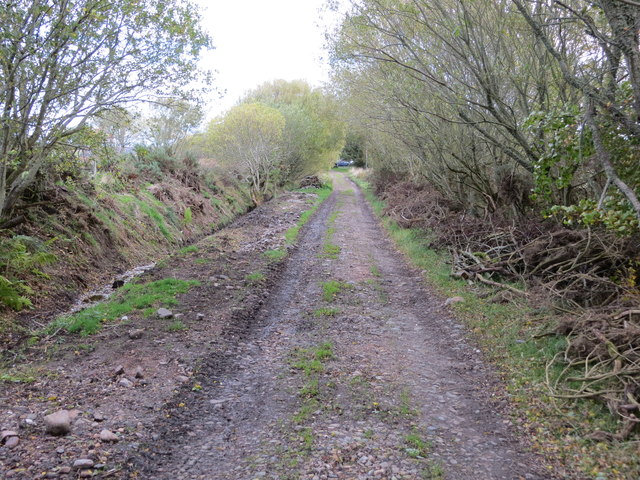
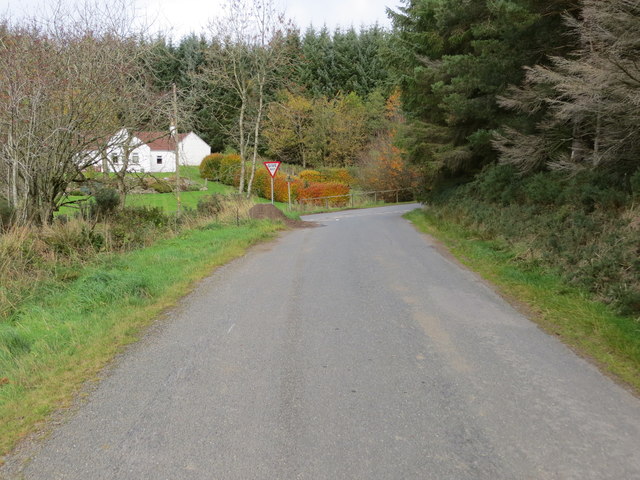
Muirake Plantation offers ample opportunities for outdoor enthusiasts to explore its natural wonders. Hiking trails wind through the woodland, allowing visitors to immerse themselves in the breathtaking beauty of the area. The plantation also features well-maintained picnic areas, inviting families and friends to enjoy leisurely meals amidst the tranquil surroundings.

The plantation is managed by a dedicated team of forestry experts who ensure the sustainable management of the woodland. They carefully monitor the health and growth of the trees, implementing appropriate measures for conservation and preservation.

Overall, Muirake Plantation in Banffshire is an idyllic destination for nature enthusiasts, offering a serene and awe-inspiring experience amidst the enchanting woodlands of Scotland.

If you have any feedback on the listing, please let us know in the comments section below.

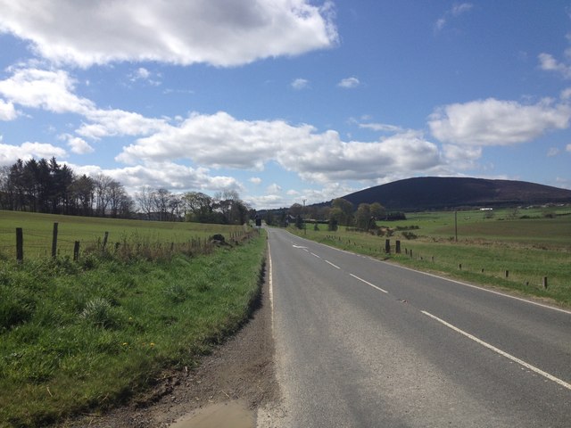
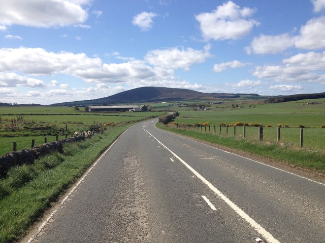
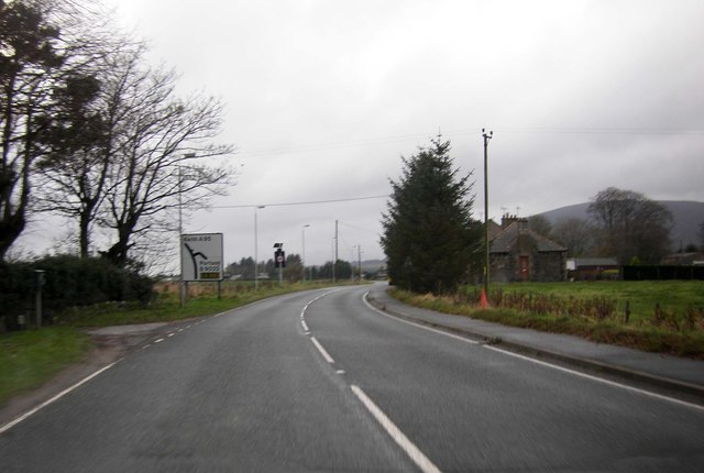
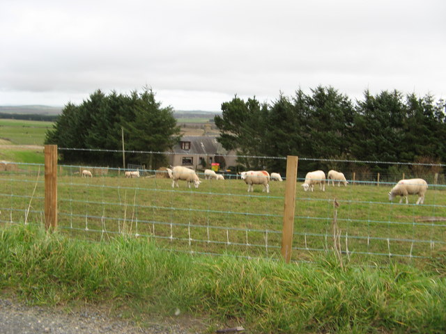
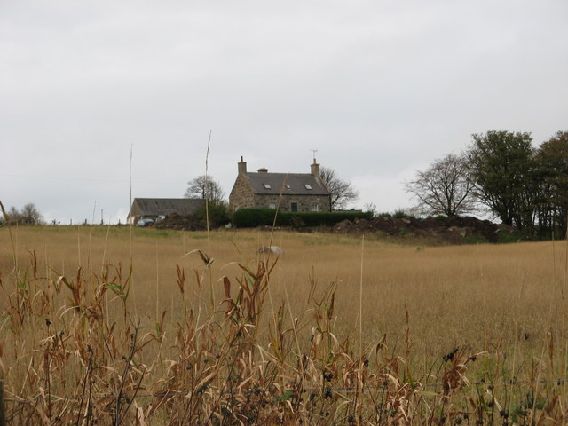
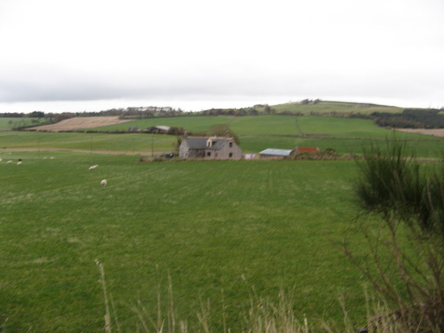
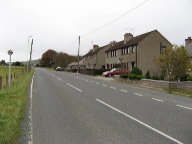
Muirake Plantation Images

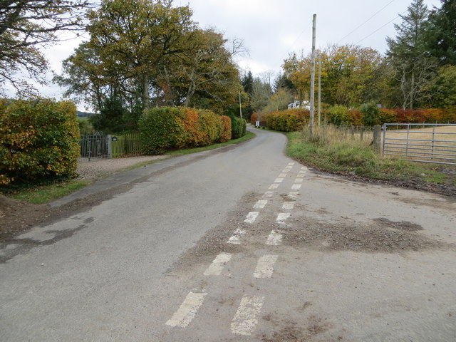
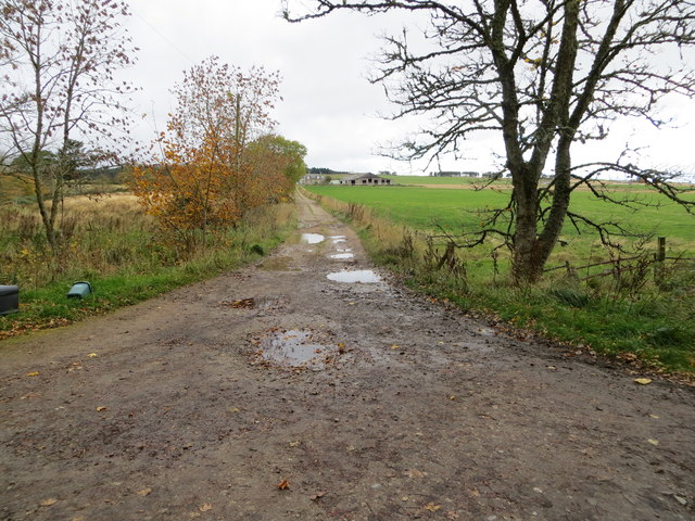
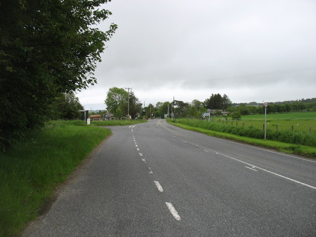
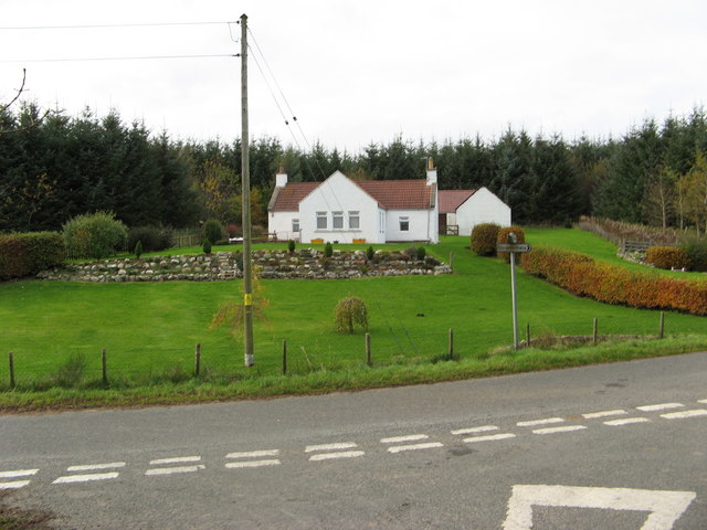
Images are sourced within 2km of 57.60731/-2.7473257 or Grid Reference NJ5557. Thanks to Geograph Open Source API. All images are credited.

Wind Turbine at Muirake One of a pair by B9022, close to Muirake Cottages.
Wind Turbine at Muirake
One of a pair by B9022, close to Muirake Cottages.
A95 near Gordonstown
A95 passing through Gordonstown
Back Road passed Toux A quiet road in Aberdeenshire
Back Road passed Toux
A quiet road in Aberdeenshire
Track leading to Mains of Badenyouchers Looking north-eastward.
Track leading to Mains of Badenyouchers
Looking north-eastward.
Minor road heading towards Hinksfield Looking north-westward.
Minor road heading towards Hinksfield
Looking north-westward.
Junction of minor roads at Hinksfield Looking north-westward.
Junction of minor roads at Hinksfield
Looking north-westward.
Junction of minor roads at Fordyce Lodge Looking south-westward.
Junction of minor roads at Fordyce Lodge
Looking south-westward.
Track leading to Winterton Looking north-westward.
Track leading to Winterton
Looking north-westward.
The A95 in Gordonstown, heading for Banff The B9022 for Portsoy goes off to the left.
The A95 in Gordonstown, heading for Banff
The B9022 for Portsoy goes off to the left.
Hinksfield Attractive white rural bungalow with well maintained gardens.
Hinksfield
Attractive white rural bungalow with well maintained gardens.
Meikle Toux Meikle Toux seems smaller than Little Toux (next square to the North) when you would imagine it should be the other way round!!!
Meikle Toux
Meikle Toux seems smaller than Little Toux (next square to the North) when you would imagine it should be the other way round!!!
Little Toux See comment in relation to Meikle Toux!!!!
Little Toux
See comment in relation to Meikle Toux!!!!
Muirake Cottages Semi detached cottages on the B9022 road to Portsoy.
Muirake Cottages
Semi detached cottages on the B9022 road to Portsoy.
Capercailzie Cottage The cottage is now known as Capercailzie Cottage although the OS map shows it as Little Claymires.
Capercailzie Cottage
The cottage is now known as Capercailzie Cottage although the OS map shows it as Little Claymires.
Gordonstown A hamlet on the A95 road to Banff.
Gordonstown
A hamlet on the A95 road to Banff.
Upper and Lower Begburn Farms
Show me another place!

Muirake Plantation is located at Grid Ref: NJ5557 (Lat: 57.60731, Lng: -2.7473257)

Unitary Authority: Aberdeenshire

Police Authority: North East

What 3 Words

///nowadays.shortcuts.leaps. Near Aberchirder, Aberdeenshire

Nearby Locations

Muirake Plantation

Related Wikis

Cornhill railway station

Cornhill railway station was an intermediate stop situated on the Great North of Scotland Railway (GNoSR) line from Cairnie Junction to Tillynaught. There...

Cornhill, Aberdeenshire

Cornhill (Scottish Gaelic: Cnoc an Arbhair) is a small village close to Banff, Aberdeenshire, Scotland. It lies 5 miles (8.0 km) to the south of Portsoy...

Glenbarry railway station

Glenbarry railway station, previously known as Barry was an intermediate stop with a passing loop situated on the Great North of Scotland Railway (GNoSR...

Castle of Park (Aberdeenshire)

Park or Castle of Park, is an A-listed rambling baronial mansion incorporating a 16th-century tower house. It is 4 miles (6.4 km) north-west of Aberchirder...

Nearby Amenities

Located within 500m of 57.60731,-2.7473257
Generator Method: wind_turbine
Generator Source: wind
Generator Type: horizontal_axis
Power: generator
Lat/Long: 57.6065373/-2.7411513
Power: pole
Lat/Long: 57.6082272/-2.7403533
Power: pole
Lat/Long: 57.6080103/-2.7415941
Power: pole
Lat/Long: 57.607763/-2.7429009
Power: pole
Lat/Long: 57.6075322/-2.7440946
Power: pole
Lat/Long: 57.6072988/-2.7453614
Power: pole
Lat/Long: 57.6070705/-2.7466022
Power: pole
Lat/Long: 57.6068258/-2.7478972
Power: pole
Lat/Long: 57.6065912/-2.7491404
Power: pole
Lat/Long: 57.6063793/-2.7502423
Power: pole
Lat/Long: 57.606127/-2.7514219
Power: pole
Lat/Long: 57.6058874/-2.7525239
Power: pole
Lat/Long: 57.605678/-2.753468
Power: pole
Lat/Long: 57.605577/-2.7546688
Power: pole
Lat/Long: 57.6067249/-2.746388
Power: pole
Lat/Long: 57.6061787/-2.7477936
Power: pole
Lat/Long: 57.6057637/-2.7488932
Power: pole
Lat/Long: 57.6057171/-2.7497832
Power: pole
Lat/Long: 57.6056691/-2.7507226
Power: pole
Lat/Long: 57.605596/-2.7519093
Power: pole
Lat/Long: 57.6055077/-2.7530678
Power: pole
Lat/Long: 57.6054168/-2.7542168
Power: pole
Lat/Long: 57.6068305/-2.749416
Power: pole
Lat/Long: 57.6073898/-2.7486761
Power: pole
Lat/Long: 57.6080748/-2.7483552
Power: pole
Lat/Long: 57.6086113/-2.7487521
Power: pole
Lat/Long: 57.609252/-2.7492082
Power: pole
Lat/Long: 57.6098374/-2.7496102
Power: pole
Lat/Long: 57.6105196/-2.7500679
Power: pole
Lat/Long: 57.611162/-2.7505257
The data included in this document is from www.openstreetmap.org. The data is made available under ODbL.

Have you been to Muirake Plantation?

Leave your review of Muirake Plantation below (or comments, questions and feedback).