Lurgiescleuch Plantation

Wood, Forest in Roxburghshire

Scotland

Lurgiescleuch Plantation

Lurgies Burn from the air The burn runs between Pike Fell on the left and Templehall Hill on the right.
Lurgies Burn from the air Credit: Thomas Nugent

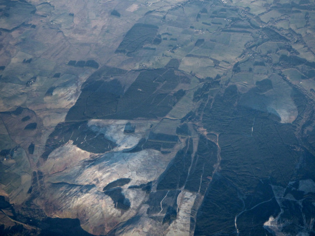
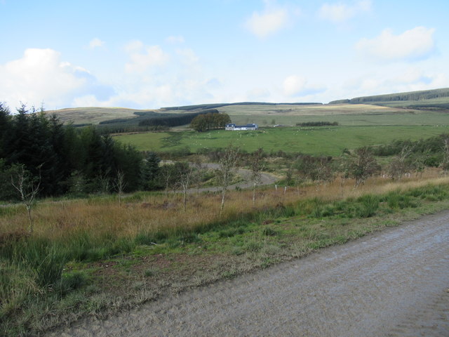
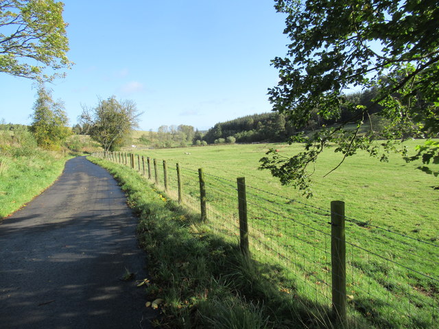
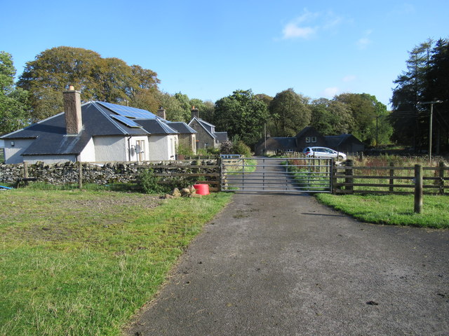
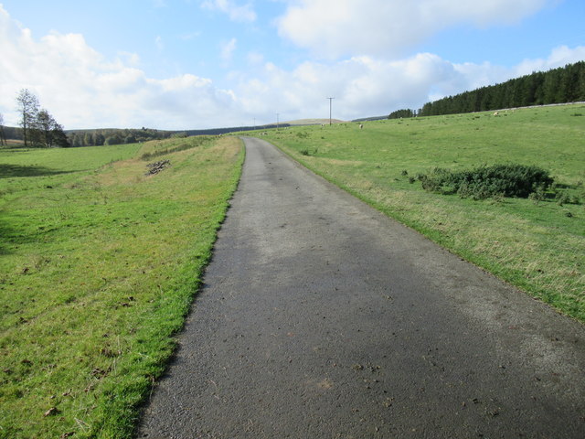
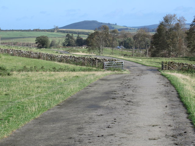
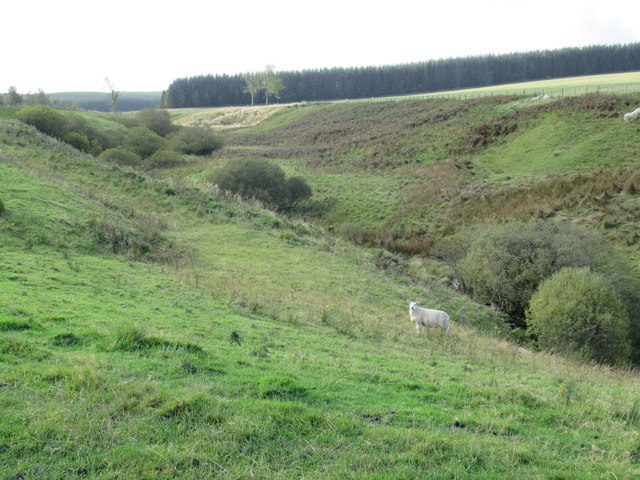
Lurgiescleuch Plantation is a scenic woodland area located in Roxburghshire, Scotland. Situated near the village of Hawick, it covers an extensive area of approximately 1,500 hectares. The plantation is known for its diverse range of tree species, creating a rich and vibrant forest landscape.

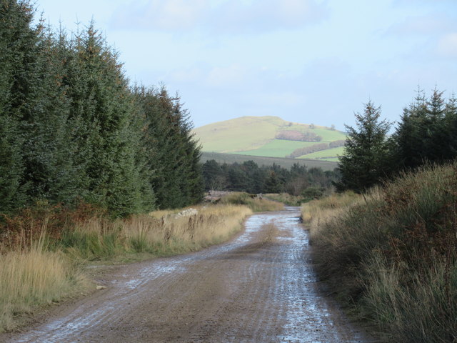
The woodland is primarily composed of coniferous trees such as Scots pine, Sitka spruce, and Douglas fir. These tall and majestic trees provide a dense canopy that offers shade and shelter to various wildlife species. Additionally, there are pockets of broadleaf trees including oak, birch, and ash, which add to the overall biodiversity of the plantation.

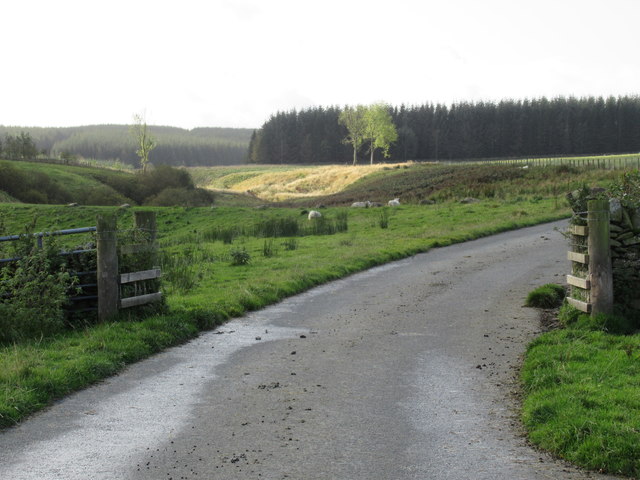
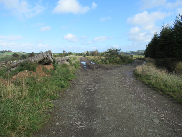
Lurgiescleuch Plantation is a haven for nature enthusiasts and outdoor enthusiasts alike. It offers numerous walking trails and paths that wind through the forest, providing opportunities for peaceful strolls and hikes. The plantation also attracts birdwatchers, as it serves as a habitat for a wide array of bird species, including woodpeckers, finches, and owls.

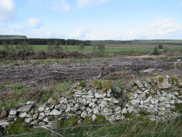
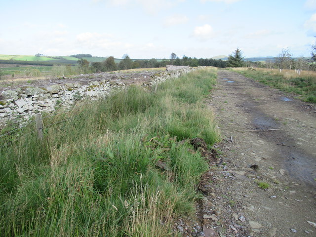
The forest is managed by the Forestry and Land Scotland, ensuring the preservation and sustainable use of the woodland. They undertake regular tree planting and maintenance activities to maintain the health and vitality of the plantation.

Visitors to Lurgiescleuch Plantation can enjoy the tranquility of nature, breathe in the fresh air, and immerse themselves in the beauty of the surrounding landscape. Whether it's a leisurely walk, wildlife spotting, or simply appreciating the natural wonders, this enchanting woodland offers a delightful experience for all who venture within its boundaries.

If you have any feedback on the listing, please let us know in the comments section below.

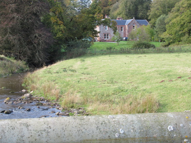
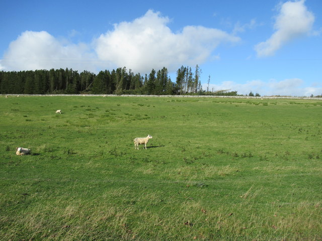
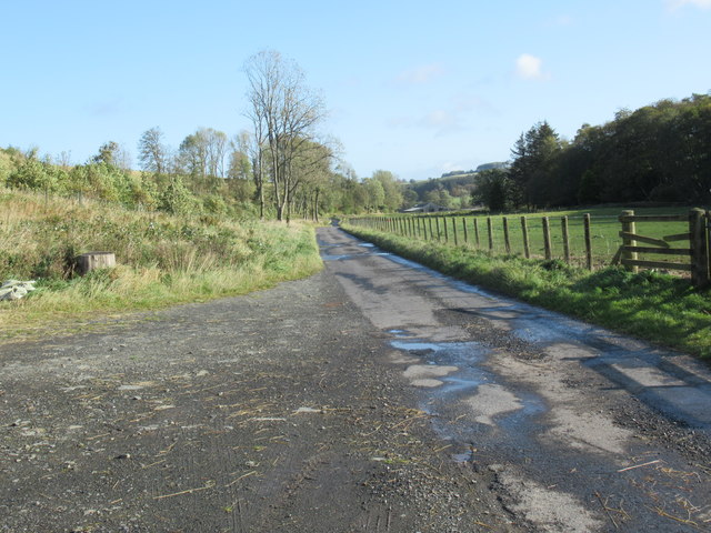
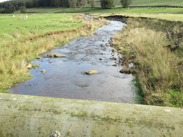
Lurgiescleuch Plantation Images

Images are sourced within 2km of 55.357732/-2.7044572 or Grid Reference NT5507. Thanks to Geograph Open Source API. All images are credited.

Lurgies Burn from the air The burn runs between Pike Fell on the left and Templehall Hill on the right.
Lurgies Burn from the air
The burn runs between Pike Fell on the left and Templehall Hill on the right.
Lurgiescleuch near Hobkirk I hurried on - unsure of which lurgie it was but taking no chances!
Lurgiescleuch near Hobkirk
I hurried on - unsure of which lurgie it was but taking no chances!
Lurgiescleuch road crossing Pines Burn by causeway Beautifully surfaced road all the way to this remote dwelling.
Lurgiescleuch road crossing Pines Burn by causeway
Beautifully surfaced road all the way to this remote dwelling.
View north-west over old dykeline near Harwood Lake in the Scottish Borders Mature wood harvested and a lot of work going on with its replacement.
View north-west over old dykeline near Harwood Lake in the Scottish Borders
Mature wood harvested and a lot of work going on with its replacement.
Harwood big hoose near Hobkirk The term 'big hoose' is fundamentally quantative but strenuously cultural: ye could bigg a bigger hoose but it wad nae be as 'big' as the big hoose!
Harwood big hoose near Hobkirk
The term 'big hoose' is fundamentally quantative but strenuously cultural: ye could bigg a bigger hoose but it wad nae be as 'big' as the big hoose!
Stonedge Forest from Lurgiescleuch road near Hobkirk I had to use paces from previous identifiable spot to locate this satisfactorily: never navigate by forest features if you do not know the ground!!
Stonedge Forest from Lurgiescleuch road near Hobkirk
I had to use paces from previous identifiable spot to locate this satisfactorily: never navigate by forest features if you do not know the ground!!
Road near Harwood in the Scottish Borders
Looking downstream on Harwood Burn in the Scottish Borders
Attractive haughland near Hobkirk in the Scottish Borders
Houses at Harwood in the Scottish Borders
Road to Lurgiecleuch near Hobkirk in the Scottish Borders A private track with a respect for the residents' suspension.
Road to Lurgiecleuch near Hobkirk in the Scottish Borders
A private track with a respect for the residents' suspension.
Sheep clarts on the tarmac on Harwood near Hobkirk in the Scottish Borders
Cleugh containing Whisky Sike's waters near Lurgiescleuch in the Scottish Borders
Whisky through the rocks near Hobkirk Culvert under the roadway.
Whisky through the rocks near Hobkirk
Culvert under the roadway.
Course of Pines Burn in the Scottish Borders
New track old dykeline near Harwood by Hobkirk in the Scottish Borders
Junction of new tracks on Harwood in the Scottish Borders
New track on Harwood near Hobkirk Heading straight for Bonchester Hill.
New track on Harwood near Hobkirk
Heading straight for Bonchester Hill.
Show me another place!

Lurgiescleuch Plantation is located at Grid Ref: NT5507 (Lat: 55.357732, Lng: -2.7044572)

Unitary Authority: The Scottish Borders

Police Authority: The Lothians and Scottish Borders

What 3 Words

///defenders.ever.dolphins. Near Hawick, Scottish Borders

Related Wikis

Wauchope, Scottish Borders

Wauchope is a hamlet in the Scottish Borders council area of Scotland, near Southdean. Wauchope House was demolished in 1932. == See also == Wauchope Forest...

Shankend railway station

Shankend railway station served the hamlet of Shankend, Scottish Borders, Scotland from 1862 to 1969 on the Border Union Railway. == History == The station...

Shankend

Shankend Manor was a sixteenth-century mansion located some six miles (ten kilometres) south of Hawick, close to Whitrope Siding in Scotland. It was constructed...

Hobkirk

Hobkirk (Scottish Gaelic: Eaglais Ruail) is a village and civil parish in the Scottish Borders area of Scotland, by the Rule Water, south-west of Jedburgh...

Nearby Amenities

Located within 500m of 55.357732,-2.7044572
Caul
Place: hamlet
Lat/Long: 55.3573897/-2.700598
Power: pole
Lat/Long: 55.3616958/-2.7016546
Power: pole
Lat/Long: 55.3612907/-2.7026854
Power: pole
Lat/Long: 55.3608654/-2.7037772
Power: pole
Lat/Long: 55.3604604/-2.704808
Power: pole
Lat/Long: 55.3600379/-2.7058794
Power: pole
Lat/Long: 55.3592726/-2.7064546
Power: pole
Lat/Long: 55.3584697/-2.7070451
Power: pole
Lat/Long: 55.3578881/-2.7074752
Power: pole
Lat/Long: 55.3573051/-2.7079181
Power: pole
Lat/Long: 55.3563748/-2.7078824
Power: pole
Lat/Long: 55.3556991/-2.7078519
Power: pole
Lat/Long: 55.3549887/-2.7078112
Power: pole
Lat/Long: 55.3542841/-2.7078061
The data included in this document is from www.openstreetmap.org. The data is made available under ODbL.

Have you been to Lurgiescleuch Plantation?

Leave your review of Lurgiescleuch Plantation below (or comments, questions and feedback).