Bothwellseat Plantation
Wood, Forest in Aberdeenshire
Scotland
Bothwellseat Plantation

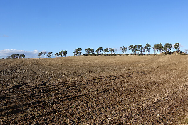
Bothwellseat Plantation is a woodland area located in Aberdeenshire, Scotland. Covering an expansive area of approximately 300 acres, it is nestled amidst the picturesque Deeside landscape. The plantation boasts a diverse range of tree species, including oak, beech, birch, and pine, creating a vibrant and lush forest environment.
The plantation is well-known for its rich biodiversity and serves as a haven for various wildlife species. It provides a habitat for numerous birds, such as woodpeckers, owls, and finches, making it a popular spot for birdwatchers. Additionally, Bothwellseat Plantation is home to a variety of mammals, including deer, foxes, and squirrels, which thrive in the abundance of food and shelter provided by the forest.
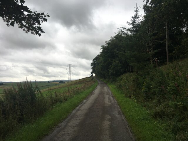
Visitors to the plantation can enjoy a network of well-maintained trails that wind through the woodland, offering stunning views of the surrounding countryside. These paths cater to both walkers and cyclists, providing a serene and peaceful setting for outdoor activities. The plantation also features picnic areas and benches, allowing visitors to take a break and appreciate the tranquil surroundings.
Bothwellseat Plantation is managed by local authorities, who ensure the conservation and preservation of the woodland. They actively engage in sustainable forestry practices, maintaining a healthy and thriving ecosystem. The plantation serves as an important carbon sink, contributing to the overall reduction of greenhouse gas emissions.
Overall, Bothwellseat Plantation offers a unique natural experience, combining the beauty of the Aberdeenshire countryside with the serenity of a diverse and thriving woodland ecosystem.
If you have any feedback on the listing, please let us know in the comments section below.
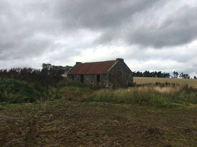
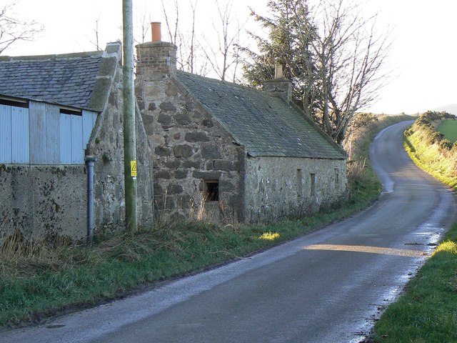
Bothwellseat Plantation Images
Images are sourced within 2km of 57.418811/-2.7540358 or Grid Reference NJ5436. Thanks to Geograph Open Source API. All images are credited.


Bothwellseat Plantation is located at Grid Ref: NJ5436 (Lat: 57.418811, Lng: -2.7540358)
Unitary Authority: Aberdeenshire
Police Authority: North East
What 3 Words
///fractions.wants.rehearsed. Near Huntly, Aberdeenshire
Nearby Locations
Related Wikis

Battle of Slioch
The Battle of Slioch was a minor skirmish in the First War of Scottish Independence. Although the encounter was inconclusive, the domestic enemies of the...
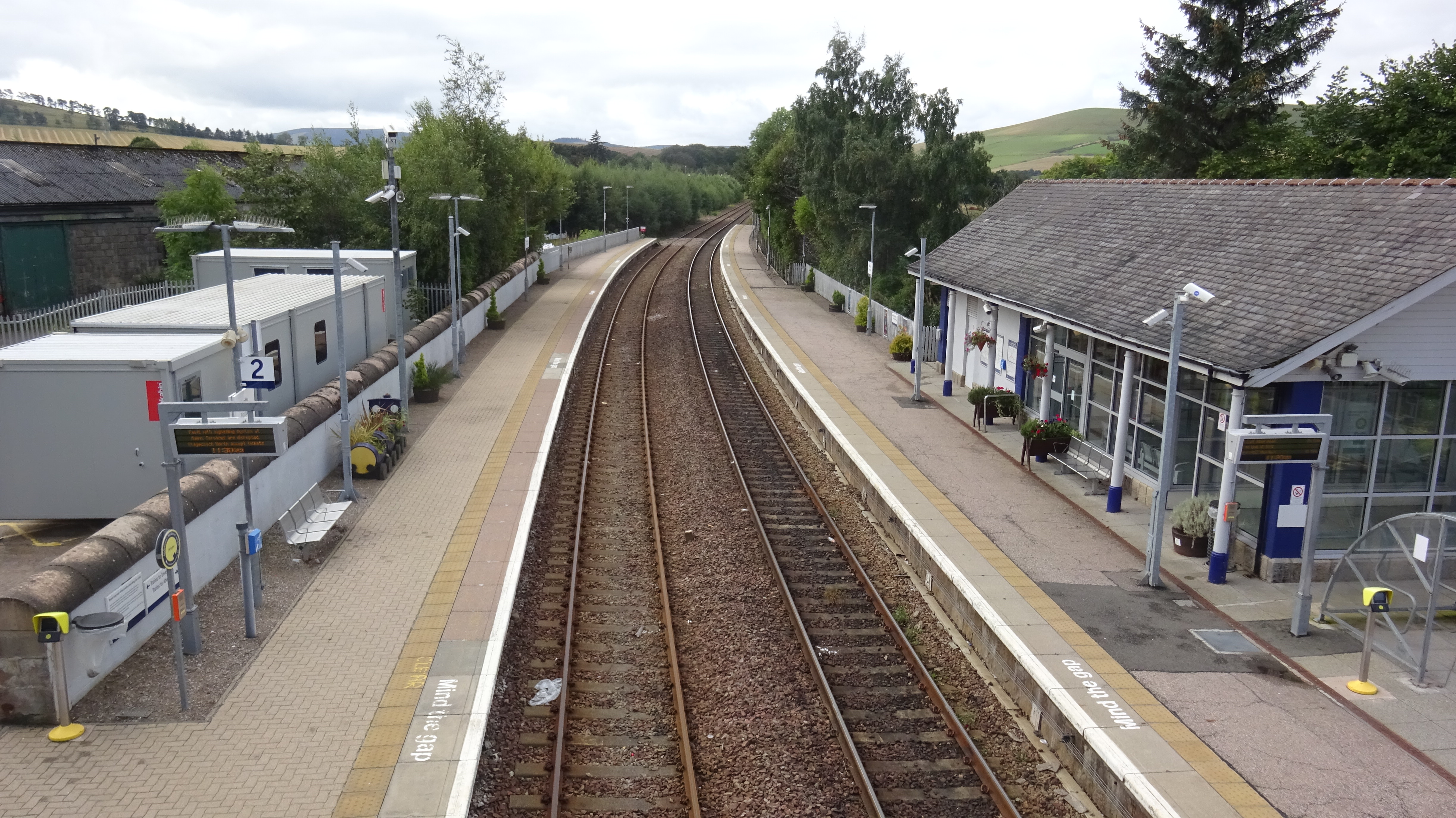
Huntly railway station
Huntly railway station is a railway station serving the town of Huntly in Scotland. The station is managed by ScotRail and is on the Aberdeen to Inverness...

Jubilee Hospital, Huntly
The Jubilee Hospital is a community hospital in Huntly, Aberdeenshire, Scotland. It is managed by NHS Grampian. == History == The hospital, which was financed...
Burn of Tullochbeg
Burn of Tullochbeg is a burn which marks the boundary of the parish of Huntly, Aberdeenshire, Scotland. == References ==
Backburn
Backburn is a rural settlement near Gartly in Aberdeenshire, Scotland. == References ==

Huntly
Huntly (Scottish Gaelic: Srath Bhalgaidh or Hunndaidh) is a town in Aberdeenshire, Scotland, formerly known as Milton of Strathbogie or simply Strathbogie...
Deveron Projects
Deveron Projects, formerly Deveron Arts, is a United Kingdom arts organisation based in Huntly, Aberdeenshire, Scotland that hosts international artists...

Stewart's Hall
Stewart's Hall, formerly Huntly Town Hall, is a municipal structure in Gordon Street, Huntly, Aberdeenshire, Scotland. The structure, which is used as...
Nearby Amenities
Located within 500m of 57.418811,-2.7540358Have you been to Bothwellseat Plantation?
Leave your review of Bothwellseat Plantation below (or comments, questions and feedback).