Barlatch Wood
Wood, Forest in Banffshire
Scotland
Barlatch Wood
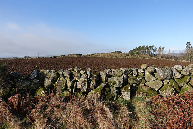
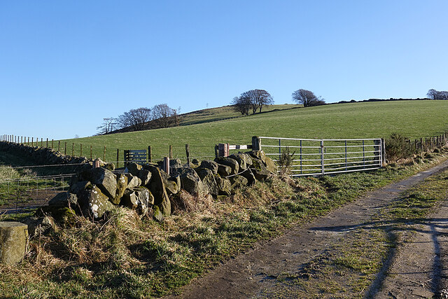
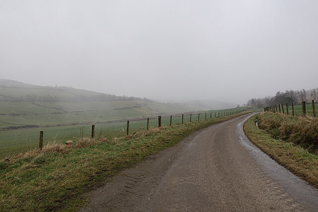
Barlatch Wood is a picturesque forest located in the region of Banffshire, Scotland. Spanning over a vast area, it is often referred to as one of the hidden gems of the area. The wood's natural beauty and diverse ecosystem make it a popular destination for nature enthusiasts and hikers.
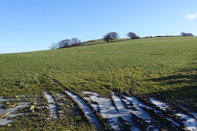
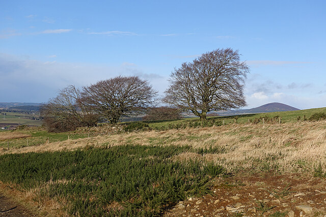
The forest is known for its dense foliage, predominantly composed of native species such as oak, birch, and pine trees. These towering trees create a tranquil and serene atmosphere, providing a habitat for a variety of wildlife, including deer, birds, and small mammals. The forest floor is adorned with a vibrant carpet of ferns, mosses, and wildflowers, adding to the enchanting ambiance.
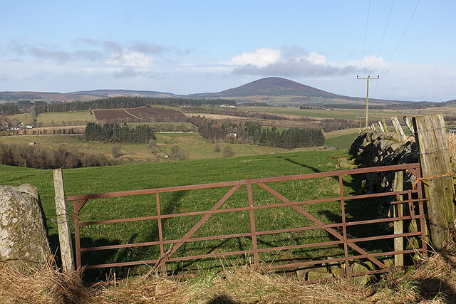
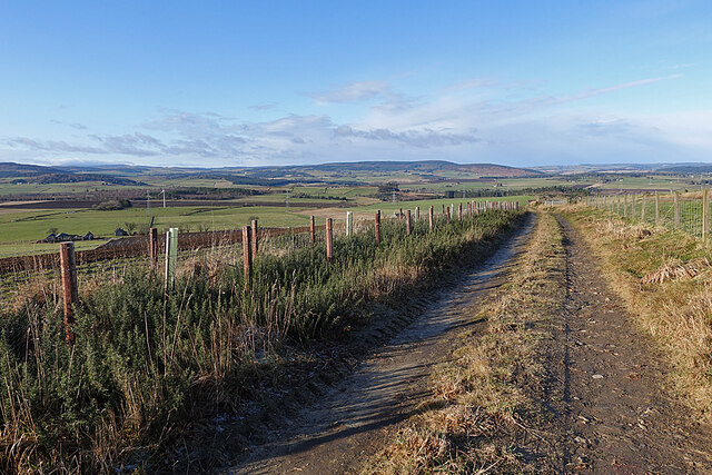
A network of well-maintained trails meanders through the wood, allowing visitors to explore its wonders at their own pace. These paths cater to a range of difficulty levels, making it accessible for both casual strollers and avid hikers. Along the way, there are several viewpoints that offer breathtaking vistas of the surrounding countryside and nearby rolling hills.
Barlatch Wood is also known for its rich history and cultural significance. Ancient ruins and remnants of past settlements can be discovered within its boundaries, serving as a reminder of the area's past inhabitants and their way of life.
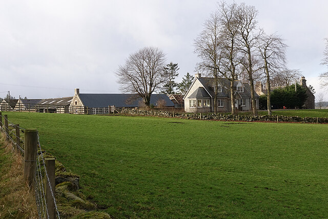
Overall, Barlatch Wood is a haven for those seeking solace in nature, offering a unique blend of scenic beauty, biodiversity, and historical intrigue. It remains a cherished destination for both locals and tourists, providing an unforgettable experience in the heart of Banffshire.
If you have any feedback on the listing, please let us know in the comments section below.
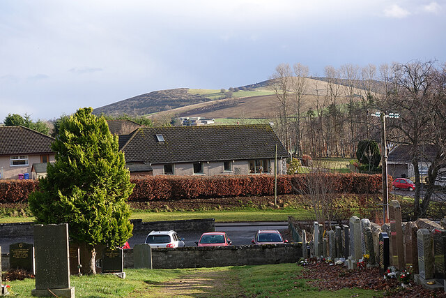
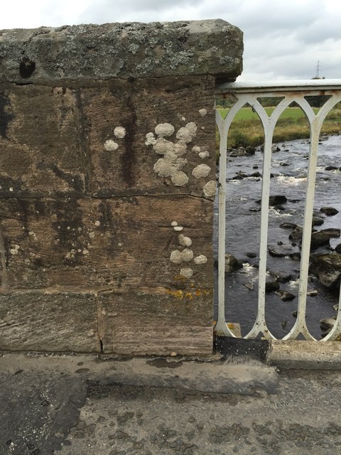
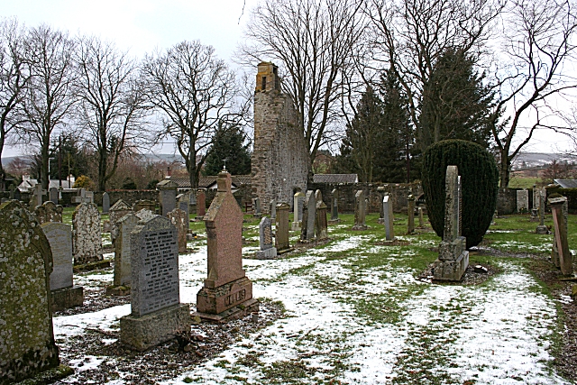
Barlatch Wood Images
Images are sourced within 2km of 57.516951/-2.7566946 or Grid Reference NJ5447. Thanks to Geograph Open Source API. All images are credited.
Barlatch Wood is located at Grid Ref: NJ5447 (Lat: 57.516951, Lng: -2.7566946)
Unitary Authority: Moray
Police Authority: North East
What 3 Words
///otters.indoors.optimists. Near Huntly, Aberdeenshire
Nearby Locations
Related Wikis

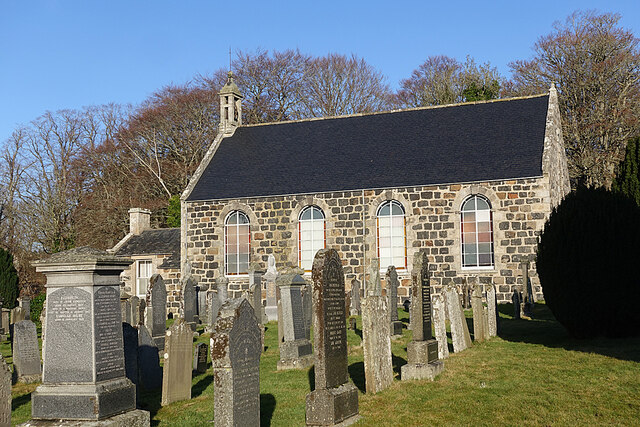
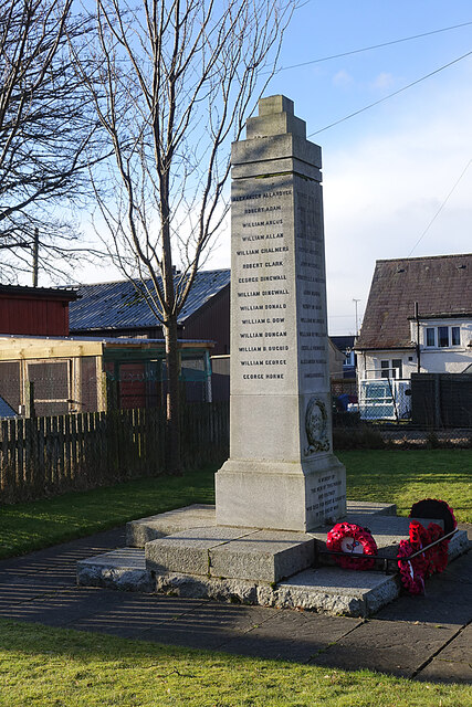
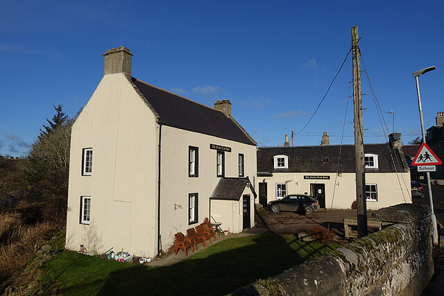
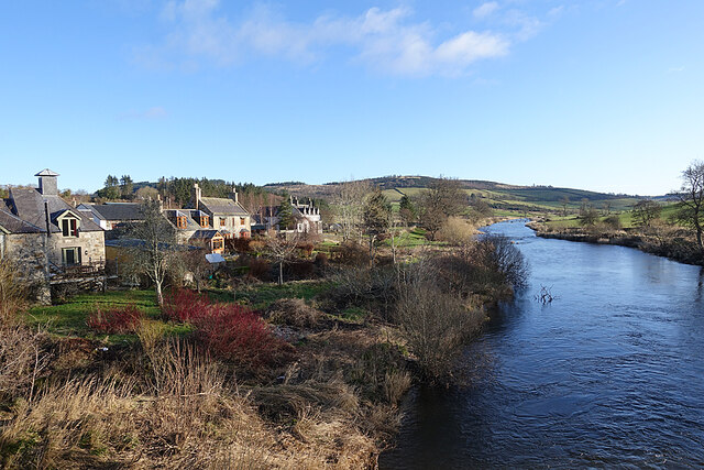
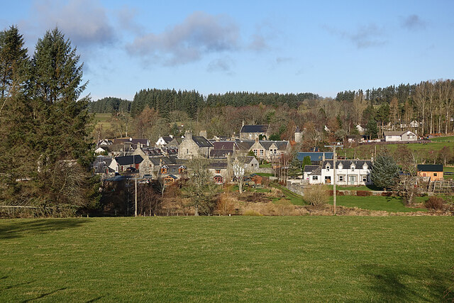
Milltown of Rothiemay
Milltown of Rothiemay (Scottish Gaelic: Ràth a' Mhuigh) is a small inland village, built mostly of granite, in the north-east of Scotland and is within...

River Isla, Moray
The River Isla (Scottish Gaelic: Uisge Ìle) is a tributary of the River Deveron in North-East Scotland. The area surrounding it is known as Strathisla...

Avochie Castle
Avochie Castle is a ruined tower house, dating from the 16th century, or early 17th century, around 4.5 miles (7.2 km) north of Huntly, east of the river...

Mountains Burn
Mountains Burn is a burn which marks the boundary of the parish of Huntly, Aberdeenshire, Scotland. == References ==

Rothiemay railway station
Rothiemay railway station served the village of Milltown of Rothiemay, Aberdeenshire, Scotland from 1856 to 1968 on the Great North of Scotland Railway...

Fourman Hill
Fourman Hill is a hill located west of Bogniebrae, Aberdeenshire, Scotland. It has an elevation of 1,127 feet (344 m). A cairn near the summit marked the...
Ruthven, Aberdeenshire
Ruthven (, Gaelic: Ruadhainn), Aberdeenshire is a village in Scotland near Huntly (to the south east), and Keith (to the north west). It is traditionally...
Daugh Castle
Daugh Castle was a castle, about 5 miles (8.0 km) north of Huntly, Aberdeenshire, Scotland, near Cairnie Burn. It was also known as Castle of the Daach...
Nearby Amenities
Located within 500m of 57.516951,-2.7566946Have you been to Barlatch Wood?
Leave your review of Barlatch Wood below (or comments, questions and feedback).