Craigend Wood
Wood, Forest in Angus
Scotland
Craigend Wood
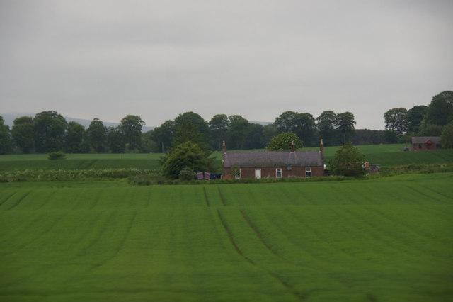
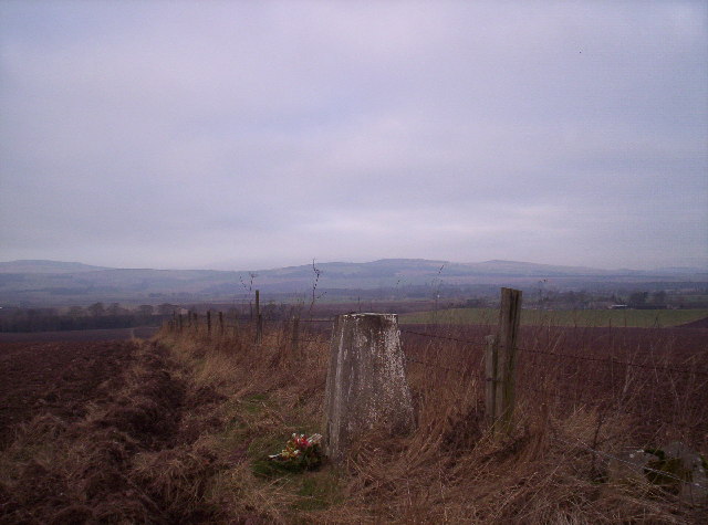
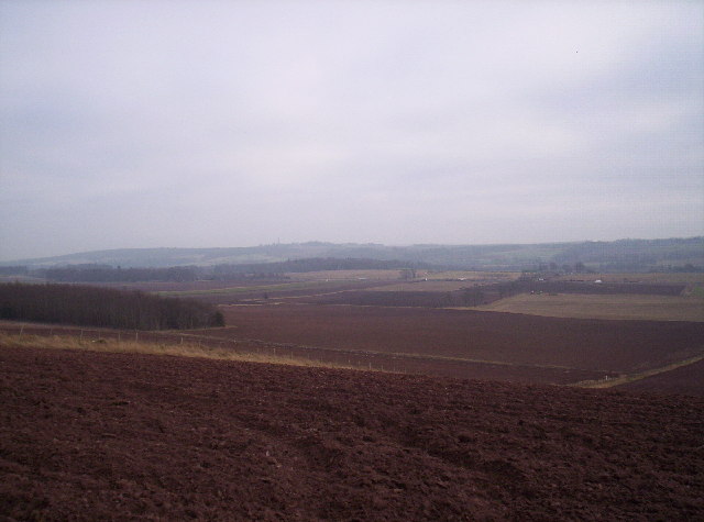
Craigend Wood is a picturesque forest located in the Angus region of Scotland. Covering an area of approximately 250 acres, this enchanting woodland is a popular destination for nature lovers and outdoor enthusiasts alike. The wood is situated near the small village of Edzell, providing easy access for visitors from both local and surrounding areas.
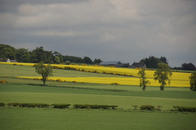
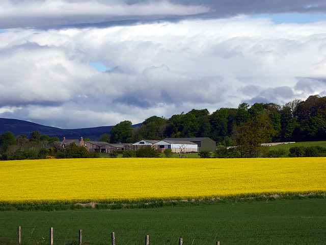
With its diverse range of tree species, including oak, birch, and Scots pine, Craigend Wood offers a stunning display of natural beauty throughout the year. During spring, the forest bursts into life with vibrant colors as wildflowers carpet the forest floor. In summer, the canopy of leaves provides a cool and peaceful retreat from the sun, while autumn brings a spectacular array of red, orange, and gold hues as the trees shed their foliage.
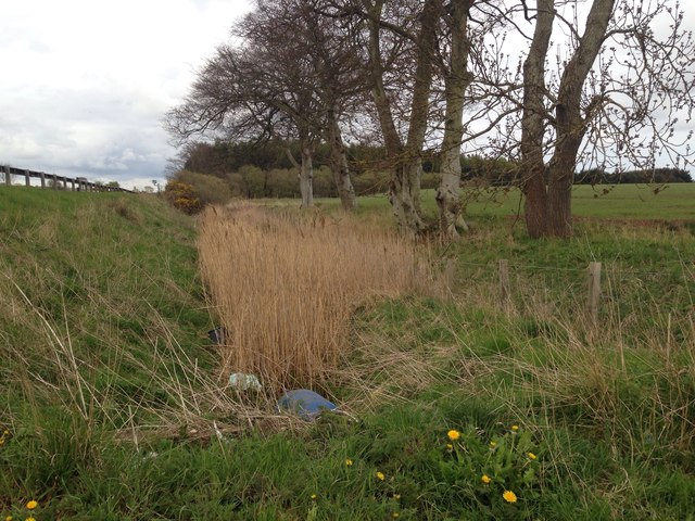
The wood is home to a rich variety of wildlife, making it a haven for nature enthusiasts. Deer, foxes, and badgers can be spotted roaming freely, while the woodland’s bird population includes species such as woodpeckers, owls, and chaffinches. The forest also boasts a network of walking trails, allowing visitors to explore its hidden treasures and immerse themselves in the tranquility of nature.
Craigend Wood holds cultural significance as well, with remnants of ancient settlements and historical landmarks scattered throughout. Ruins of a 16th-century castle, known as Craigend Castle, can be found within the forest, adding an element of intrigue and mystery to the woodland's allure.
Overall, Craigend Wood offers a captivating blend of natural beauty, wildlife, and historical significance, making it a must-visit destination for anyone seeking a peaceful retreat in the heart of Angus.
If you have any feedback on the listing, please let us know in the comments section below.
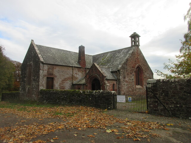
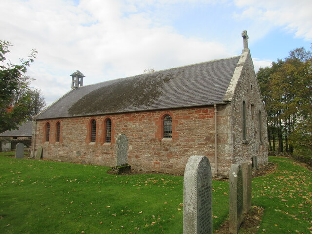
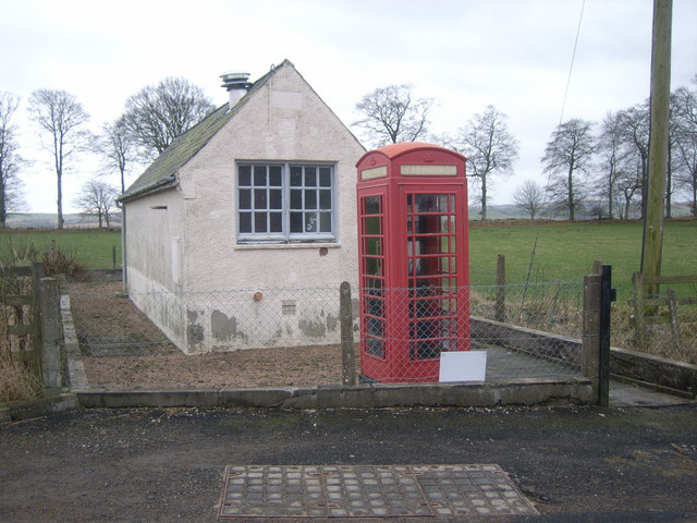
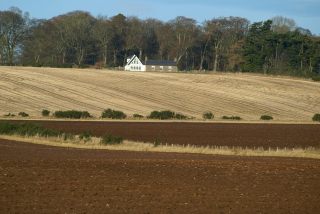
Craigend Wood Images
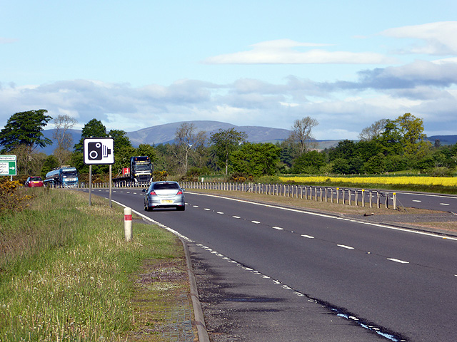
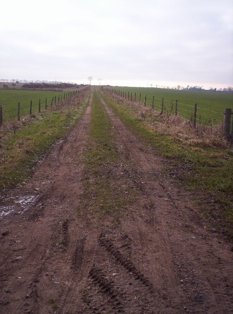
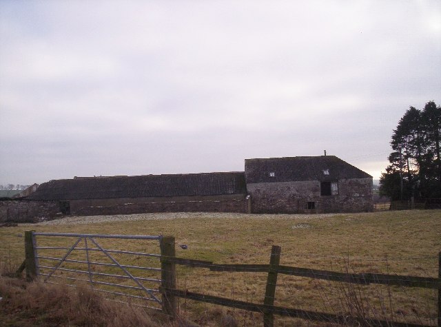
Images are sourced within 2km of 56.733211/-2.7409697 or Grid Reference NO5460. Thanks to Geograph Open Source API. All images are credited.
Craigend Wood is located at Grid Ref: NO5460 (Lat: 56.733211, Lng: -2.7409697)
Unitary Authority: Angus
Police Authority: Tayside
What 3 Words
///servers.duties.nametag. Near Brechin, Angus
Nearby Locations
Related Wikis

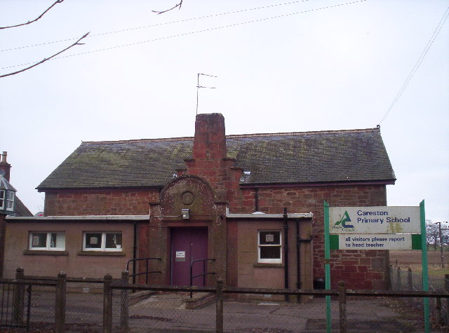
Careston railway station
Careston railway station served the hamlet of Careston, Angus, Scotland, from 1895 to 1964 on the Forfar and Brechin Railway. == History == The station...

Careston
Careston is a hamlet in Angus, Scotland that is in the parish of the same name, 5 miles west of Brechin. The parish and hamlet supposedly took their name...

Careston Castle
Careston Castle, also known as Caraldston Castle, is an L-plan tower house dating from the 16th century, on a 1,528-acre estate, in Careston parish, Angus...

Melgund Castle
Melgund Castle, lying around two kilometres (1.2 mi) due east of Aberlemno in Angus, Scotland, is a 16th-century L-plan castle which has been partially...

Little Brechin
Little Brechin is a village in Angus, Scotland. It lies approximately two miles north of Brechin on the north side of the A90 road. == References... ==

Menmuir
Menmuir is a parish in the county of Angus in Scotland. Kirkton of Menmuir consists of only three houses (the Old Schoolhouse, the Manse, the Old Inn)...

Brechin High School
Brechin High School is a non-denominational secondary school in Brechin, Angus, Scotland == Admissions == It has approximately 660 students. The school...
Brechin Monastery
Brechin Monastery was a Culdee religious house located in the county of Angus in Scotland. It was founded during the reign of Kenneth II (971–995). No...
Nearby Amenities
Located within 500m of 56.733211,-2.7409697Have you been to Craigend Wood?
Leave your review of Craigend Wood below (or comments, questions and feedback).