Ceunant
Settlement in Caernarfonshire
Wales
Ceunant
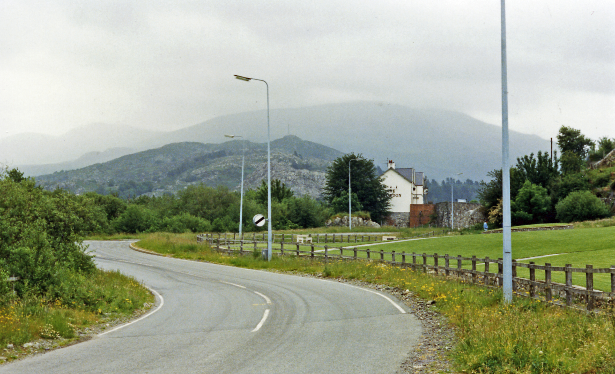
Ceunant is a small village located in the county of Caernarfonshire, in northwest Wales. Situated near the picturesque Snowdonia National Park, it is surrounded by breathtaking natural beauty, with rolling hills, lush green fields, and crystal-clear streams. The village is nestled in a valley, offering stunning views of the surrounding countryside.
Ceunant is a close-knit community, with a population of around 300 residents. Despite its small size, it has a rich history dating back several centuries. The village is known for its traditional stone cottages, which add to its charm and character. Many of these cottages were built during the 19th century and are now protected as part of the area's heritage.
The village has a strong sense of community, with regular events and activities taking place throughout the year. The local pub, The Ceunant Arms, serves as a gathering place for both residents and visitors alike. It offers a warm and friendly atmosphere, where people can enjoy traditional Welsh food and drink.
For outdoor enthusiasts, Ceunant provides numerous opportunities to explore the surrounding countryside. The nearby Snowdonia National Park offers a range of activities, including hiking, mountain biking, and rock climbing. The village is also close to several beautiful lakes and rivers, making it an ideal location for fishing and boating enthusiasts.
In summary, Ceunant is a picturesque village in Caernarfonshire, Wales, known for its stunning natural beauty, rich history, and strong sense of community. Whether it's exploring the surrounding countryside or immersing oneself in the local culture, Ceunant offers something for everyone.
If you have any feedback on the listing, please let us know in the comments section below.
Ceunant Images
Images are sourced within 2km of 53.129882/-4.193232 or Grid Reference SH5361. Thanks to Geograph Open Source API. All images are credited.
![Coeden ar y domen lechi / Tree on the slate tip It's common enough to see small conifers growing on the Chwarel Fawr [Cefn Du] slate tips, but very unusual to see a deciduous tree.](https://s3.geograph.org.uk/geophotos/07/42/86/7428627_c55f6f6a.jpg)
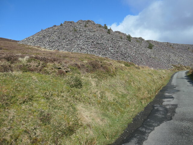
![Coeden binwydd ar y domen lechi / Pine tree on the slate tip Small conifers are beginning to colonise the slate tips of Chwarel Fawr [Cefn Du].](https://s2.geograph.org.uk/geophotos/07/42/86/7428634_03daf28f.jpg)
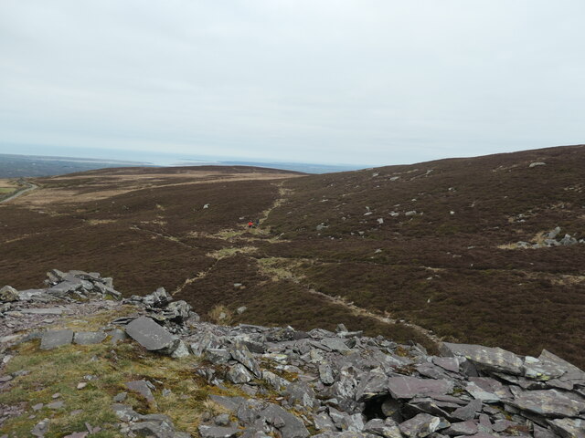
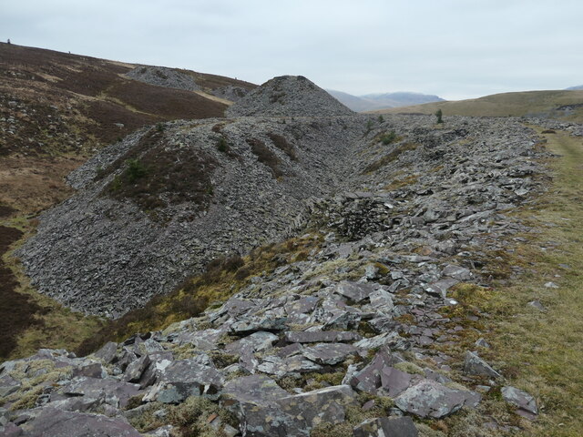
![Diwedd y domen llechen hir / The end of the long slate tip Built up so the wagon can tip up. Waste slate from Chwarel Fawr [Cefn Du] was dumped here off the end of each tip. The tramway on this particular tip was mapped by the OS in 1888 and 1899. It had disappeared by 1913, but the tip itself still remains.](https://s1.geograph.org.uk/geophotos/07/42/86/7428637_16f9bd34.jpg)


Ceunant is located at Grid Ref: SH5361 (Lat: 53.129882, Lng: -4.193232)
Unitary Authority: Gwynedd
Police Authority: North Wales
What 3 Words
///bookshop.habit.zest. Near Llanrug, Gwynedd
Nearby Locations
Related Wikis

Bryn Bras Castle
Bryn Bras Castle is a Grade II* listed country house located on the old road between Llanrug and Llanberis in Caernarfon, Gwynedd. The house, which remains...
Y Fronllwyd
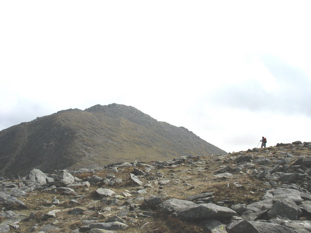
Y Fronllwyd, also known as Carnedd y Filiast North Top, is a top of Carnedd y Filiast in Snowdonia, Wales forming part of the Glyderau. It is the northern...

Llanrug
Llanrug (or Llanfihangel-yn-y-grug) is a medium-sized village and community in Gwynedd, north-west Wales. It lies about 4 miles (6.4 km) to the east of...

Cwm-y-glo
Cwm-y-glo is a small village in Wales, 4+1⁄2 miles (7 km) east of Caernarfon, between Llanberis and Llanrug. It is in the Arfon Parliamentary constituency...

Waunfawr
Waunfawr (gwaun + mawr, English: large moorland/meadow) is a village and community, 6 kilometres (3.7 mi) SE of Caernarfon, near the Snowdonia National...
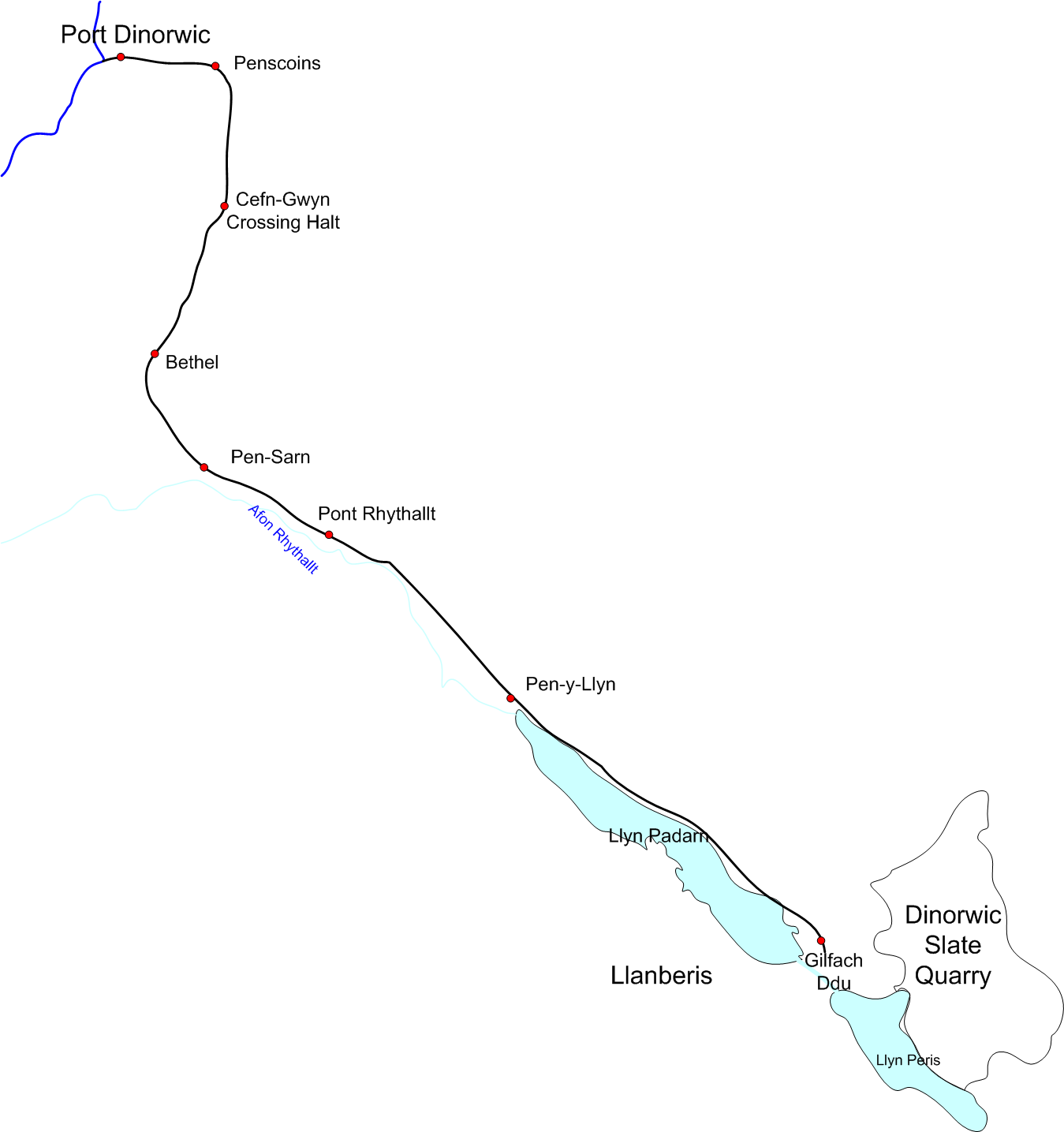
Padarn Railway
The Padarn Railway was a narrow-gauge railway in North Wales, built to the unusual gauge of 4 ft (1,219 mm). It carried slate seven miles (11 km) from...
Ysgol Brynrefail
Ysgol Brynrefail is a bilingual comprehensive school for pupils aged 11–18. It is situated in Llanrug in Gwynedd, north Wales. Most of the school's pupils...
Cwm-y-Glo railway station
Cwm-y-Glo railway station served the village of Cwm-y-glo, Gwynedd, Wales, at the north-west end of Llyn Padarn. The station was closed for regular passenger...
Nearby Amenities
Located within 500m of 53.129882,-4.193232Have you been to Ceunant?
Leave your review of Ceunant below (or comments, questions and feedback).