Cavers Knowes Covert
Wood, Forest in Roxburghshire
Scotland
Cavers Knowes Covert
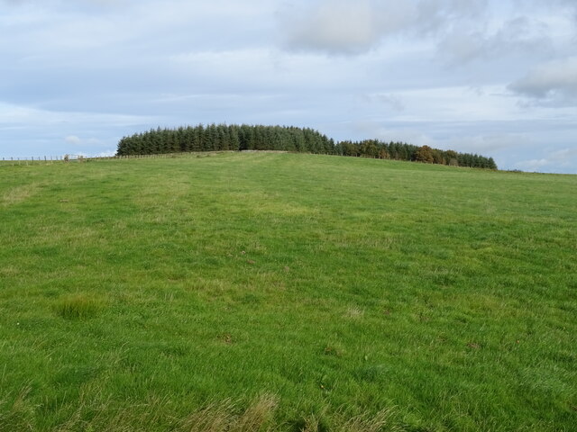
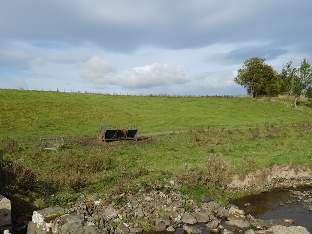
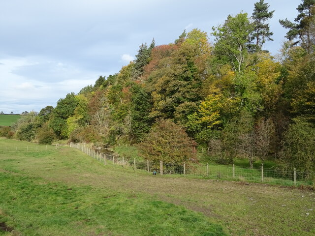
Cavers Knowes Covert is a picturesque woodland located in Roxburghshire, Scotland. Covering an area of approximately 200 acres, it is a haven for nature enthusiasts and hikers alike. The woodland is characterized by its dense canopy, consisting primarily of oak, birch, and beech trees, which provide a beautiful display of vibrant colors throughout the year.
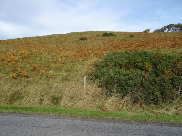
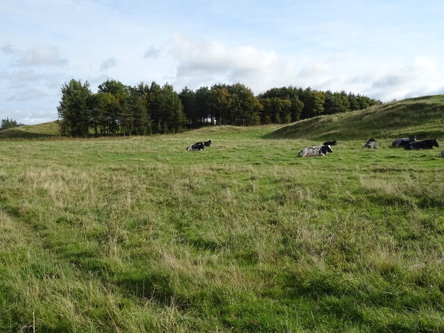
The forest is home to a diverse range of wildlife, including red squirrels, badgers, and various bird species. The tranquil atmosphere and peaceful surroundings make it an ideal spot for birdwatching, with a chance to spot species such as woodpeckers, thrushes, and owls.
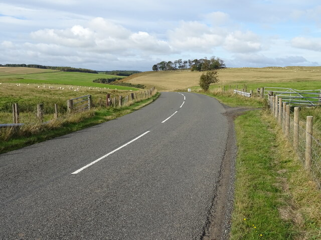
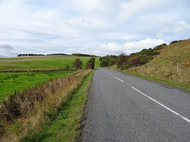
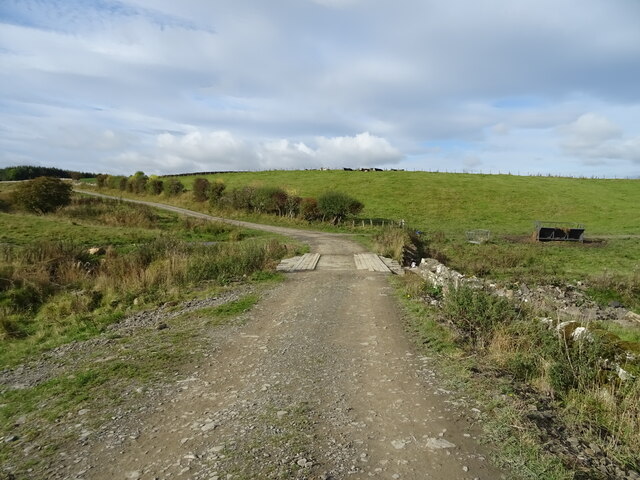
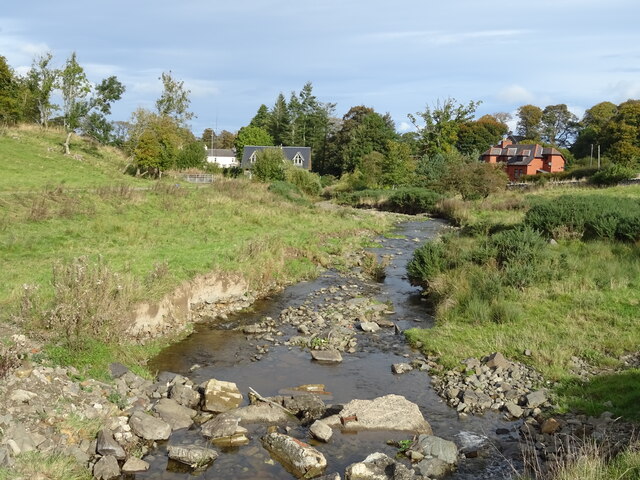
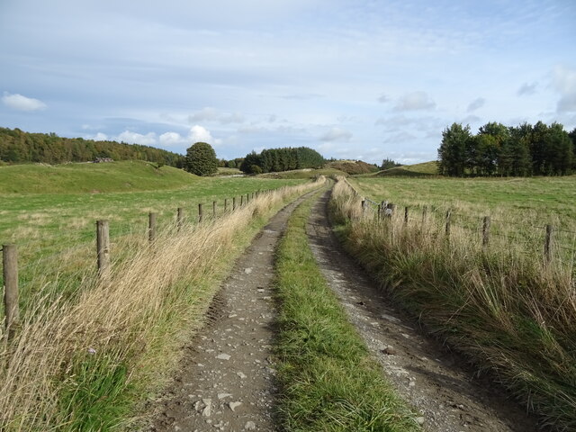
Cavers Knowes Covert offers several well-maintained trails, allowing visitors to explore the woodland at their own pace. The paths wind through the forest, leading to hidden glens, babbling brooks, and stunning viewpoints. Along the way, there are informative signposts highlighting the different tree species and their ecological importance.
The woodland has a rich history, dating back centuries. It was once a favored hunting ground for local nobility, and remnants of ancient settlements can still be found within its boundaries. Archaeological sites, such as standing stones and burial mounds, provide glimpses into the area's past.
Cavers Knowes Covert is a popular destination for outdoor activities, including picnicking, photography, and nature walks. With its tranquil ambiance, diverse wildlife, and scenic beauty, it offers a truly immersive experience in the heart of Roxburghshire's natural wonders.
If you have any feedback on the listing, please let us know in the comments section below.
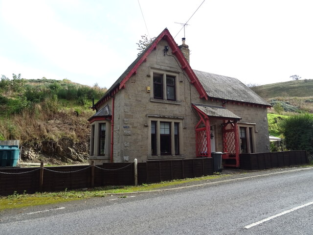
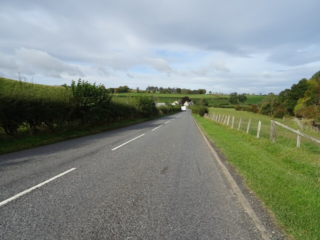
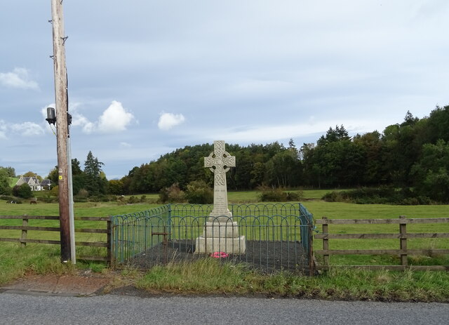
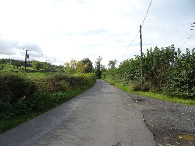
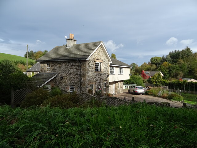
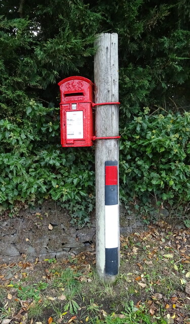
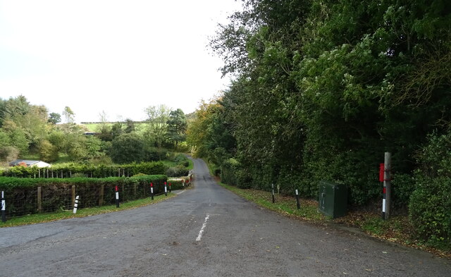
Cavers Knowes Covert Images
Images are sourced within 2km of 55.423123/-2.7302998 or Grid Reference NT5314. Thanks to Geograph Open Source API. All images are credited.
Cavers Knowes Covert is located at Grid Ref: NT5314 (Lat: 55.423123, Lng: -2.7302998)
Unitary Authority: The Scottish Borders
Police Authority: The Lothians and Scottish Borders
What 3 Words
///reactions.embedded.angel. Near Hawick, Scottish Borders
Related Wikis

Kirkton, Scottish Borders
Kirkton is a village in the Scottish Borders area of Scotland, off the A6088, near Hawick. Grid Ref. NT5413. It is a former parish, amalgamated into the...

Cavers Castle
Cavers Castle, also known as Cavers House, is a ruined tower house located at Cavers, Scottish Borders, Scotland. Cavers Castle was a much extended tower...

Cavers, Scottish Borders
Cavers is a parish in the Scottish Borders area of Scotland, in the former county of Roxburghshire, south and east of Hawick. The largest village in the...

Mansfield Park, Hawick
Mansfield Park is a rugby union ground in Hawick, Scotland, with a capacity of approximately 5,000. It is the home of Hawick Rugby Football Club, who currently...
Nearby Amenities
Located within 500m of 55.423123,-2.7302998Have you been to Cavers Knowes Covert?
Leave your review of Cavers Knowes Covert below (or comments, questions and feedback).