Cauldmill Bank Plantation

Wood, Forest in Roxburghshire

Scotland

Cauldmill Bank Plantation

Grazing, Kirkton
Grazing, Kirkton Credit: JThomas

Cauldmill Bank Plantation is a sprawling woodland located in Roxburghshire, a historic county in the Scottish Borders region of Scotland. Covering an area of approximately [insert size], this plantation is characterized by its dense forest, rich wildlife, and serene natural beauty.

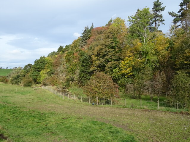
The woodland consists primarily of native tree species such as oak, birch, and pine, which have flourished in this area for centuries. The trees create a lush canopy that provides shelter for numerous bird species, including woodpeckers, owls, and songbirds. Additionally, the plantation is home to a diverse range of fauna, including red squirrels, deer, and various small mammals.

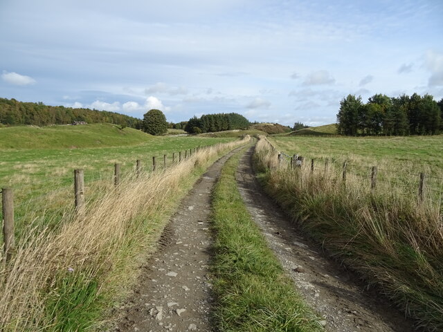
Visitors to Cauldmill Bank Plantation can enjoy a variety of outdoor activities. The well-maintained trails make it popular among hikers and nature enthusiasts, who can explore the woodland’s hidden nooks and crannies. The plantation also offers opportunities for birdwatching, with several designated observation points throughout the area.

The serene atmosphere of Cauldmill Bank Plantation makes it an ideal place for picnics or simply unwinding amidst nature. The tranquil surroundings and the sound of birdsong create a peaceful ambiance, providing an escape from the hustle and bustle of everyday life.

Overall, Cauldmill Bank Plantation in Roxburghshire is a haven for nature lovers, offering a chance to reconnect with the natural world and explore the beauty of Scotland's woodlands.

If you have any feedback on the listing, please let us know in the comments section below.

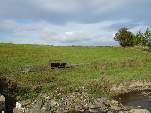
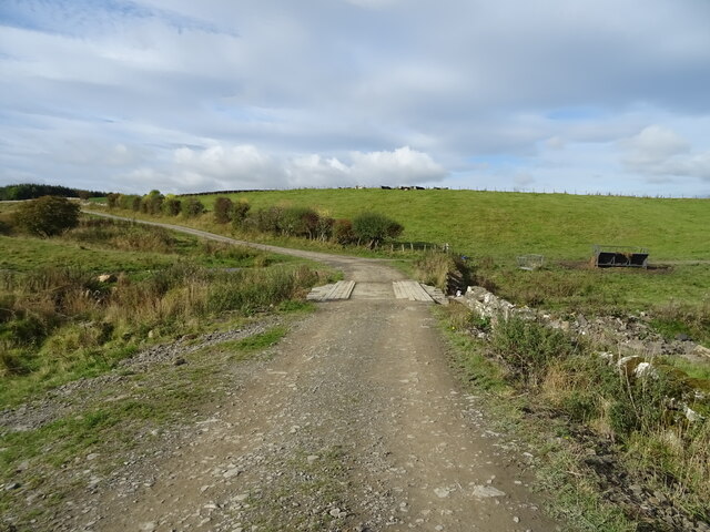
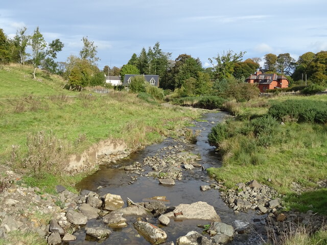
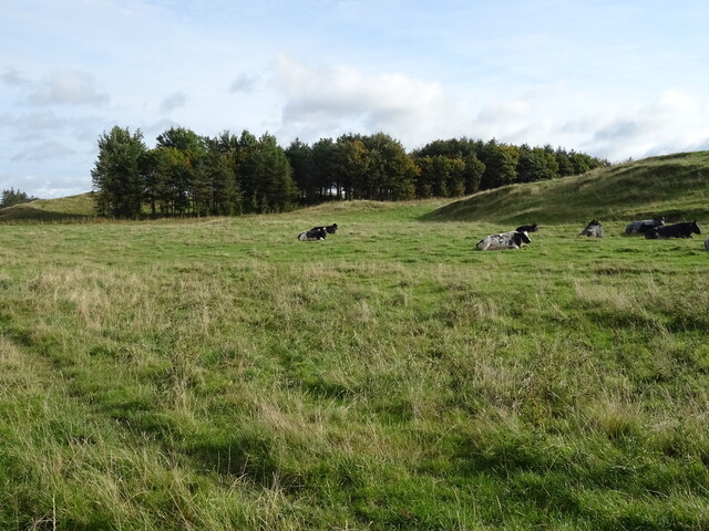
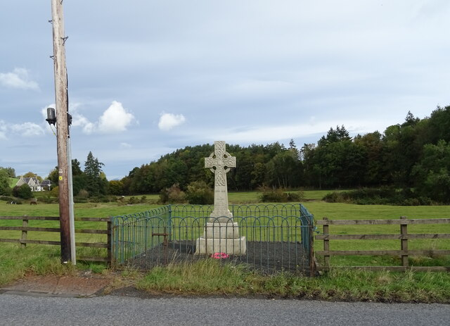
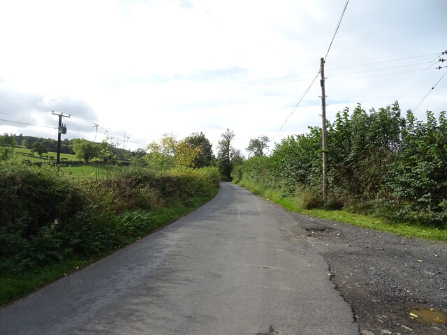
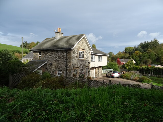
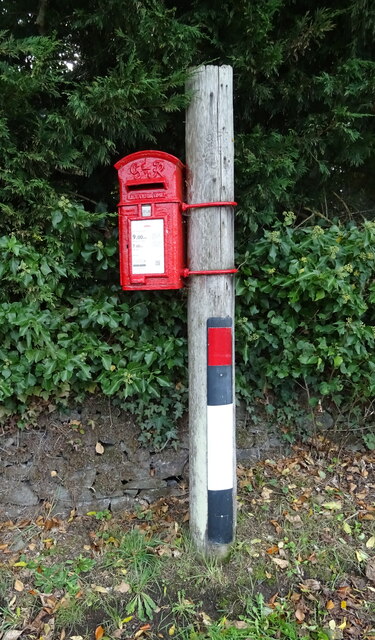
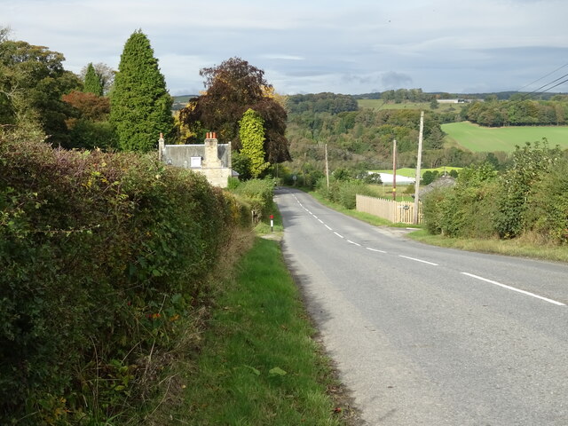
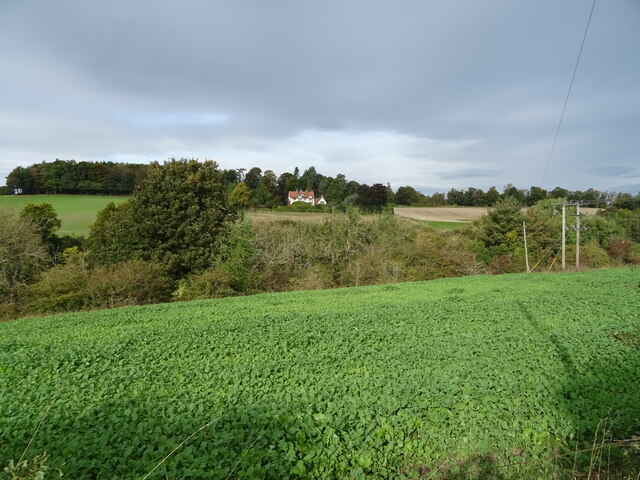
Cauldmill Bank Plantation Images

Images are sourced within 2km of 55.426105/-2.7408148 or Grid Reference NT5314. Thanks to Geograph Open Source API. All images are credited.

Grazing, Kirkton
Grazing, Kirkton
Farm track over the Kirkton Burn
The Kirkton Burn
The Kirkton Burn
Grazing near Kirkton
Track towards Cavers Knowes
West Lodge on the A6088
A6088 towards Hawick
Grazing and woodland beside the Kirkton Burn
War Memorial, Deanbrae Beside the A6088.
War Memorial, Deanbrae
Beside the A6088.
Minor road, Deanbrae Towards Ormiston.
Minor road, Deanbrae
Towards Ormiston.
House in Cauldmill
House in Cauldmill
George VI postbox, Cauldmill Postbox No. TD9 54.

See <a href="https://www.geograph.org.uk/photo/7016978">NT5315 : Close up, George VI postbox, Cauldmill</a> for close up.
See <a href="https://www.geograph.org.uk/photo/7016980">NT5315 : Minor road, Cauldmill</a> for context.
George VI postbox, Cauldmill
Postbox No. TD9 54. See NT5315 : Close up, George VI postbox, Cauldmill for close up. See NT5315 : Minor road, Cauldmill for context.
Close up, George VI postbox, Cauldmill Postbox No. TD9 54.

See <a href="https://www.geograph.org.uk/photo/7016977">NT5315 : George VI postbox, Cauldmill</a> for wider view.
Close up, George VI postbox, Cauldmill
Postbox No. TD9 54. See NT5315 : George VI postbox, Cauldmill for wider view.
Minor road, Cauldmill Towards Kinninghall.
Showing position of Postbox No. TD9 54.

See <a href="https://www.geograph.org.uk/photo/7016977">NT5315 : George VI postbox, Cauldmill</a> for postbox.
Minor road, Cauldmill
Towards Kinninghall. Showing position of Postbox No. TD9 54. See NT5315 : George VI postbox, Cauldmill for postbox.
House on the A6088
House on the A6088
Grazing, Dodlands
Grazing, Dodlands
A6088, Dodlands Towards Hawick.
A6088, Dodlands
Towards Hawick.
Crop field beside the River Teviot Narrow strip of land beside the A698.
Crop field beside the River Teviot
Narrow strip of land beside the A698.
Show me another place!

Cauldmill Bank Plantation is located at Grid Ref: NT5314 (Lat: 55.426105, Lng: -2.7408148)

Unitary Authority: The Scottish Borders

Police Authority: The Lothians and Scottish Borders

What 3 Words

///puzzle.surprise.tweezers. Near Hawick, Scottish Borders

Related Wikis

Cavers Castle

Cavers Castle, also known as Cavers House, is a ruined tower house located at Cavers, Scottish Borders, Scotland. Cavers Castle was a much extended tower...

Cavers, Scottish Borders

Cavers is a parish in the Scottish Borders area of Scotland, in the former county of Roxburghshire, south and east of Hawick. The largest village in the...

Kirkton, Scottish Borders

Kirkton is a village in the Scottish Borders area of Scotland, off the A6088, near Hawick. Grid Ref. NT5413. It is a former parish, amalgamated into the...

Mansfield Park, Hawick

Mansfield Park is a rugby union ground in Hawick, Scotland, with a capacity of approximately 5,000. It is the home of Hawick Rugby Football Club, who currently...

Nearby Amenities

Located within 500m of 55.426105,-2.7408148
Post Box
Brand: Royal Mail
Brand Wikidata: Q638098
Collection Times: Mo-Fr 12:00; Sa 07:00
Operator: Royal Mail
Operator Wikidata: Q638098
Post Box Design: waggon_top
Post Box Mounting: wooden_post
Post Box Type: lamp
Ref: TD9 54
Royal Cypher: GVIR
Royal Cypher Wikidata: Q33102169
Source: local knowledge
Survey Date: 2022-08-20
Lat/Long: 55.4286552/-2.7436505
Natural: peak
Lat/Long: 55.4258986/-2.7336468
Cauldmill
Place: hamlet
Lat/Long: 55.4287585/-2.7436594
Deanbrae
Place: locality
Lat/Long: 55.4235044/-2.7403347
West Lodge
Place: isolated_dwelling
Lat/Long: 55.4239473/-2.7387819
Kinninghall Hill
Heritage: yes
Historic: archaeological_site
Wikidata: Q31105098
Lat/Long: 55.4256833/-2.7335143
Give Way
Direction: forward
Lat/Long: 55.4258735/-2.7435157
Give Way
Direction: forward
Lat/Long: 55.4261223/-2.7439504
Noexit: yes
Lat/Long: 55.4261277/-2.7442901
Noexit: yes
Lat/Long: 55.4262008/-2.7449513
Give Way
Direction: forward
Lat/Long: 55.4239911/-2.7389212
Give Way
Direction: forward
Lat/Long: 55.4241783/-2.7390853
Give Way
Direction: forward
Lat/Long: 55.4245426/-2.7400081
Give Way
Direction: forward
Lat/Long: 55.4286608/-2.7437879
Generator Method: photovoltaic
Generator Output Electricity: yes
Generator Source: solar
Generator Type: solar_photovoltaic_panel
Power: generator
Lat/Long: 55.4264824/-2.7379252
Historic: wayside_cross
Lat/Long: 55.4259419/-2.7434246
Power: pole
Lat/Long: 55.4283183/-2.7473911
Power: pole
Lat/Long: 55.4277753/-2.7470271
Power: pole
Lat/Long: 55.4270421/-2.7465276
Power: pole
Lat/Long: 55.4263932/-2.7460854
Power: pole
Lat/Long: 55.4257375/-2.7456579
Power: pole
Lat/Long: 55.4250717/-2.7452303
Power: pole
Lat/Long: 55.4248074/-2.7449478
Power: pole
Lat/Long: 55.4237617/-2.7438789
Power: pole
Lat/Long: 55.4225455/-2.7438432
Power: pole
Lat/Long: 55.4235826/-2.7425401
Power: pole
Lat/Long: 55.4234078/-2.741148
Power: pole
Lat/Long: 55.4250601/-2.744449
Power: pole
Lat/Long: 55.4266734/-2.7482233
Power: pole
Lat/Long: 55.4292238/-2.7458335
Power: pole
Lat/Long: 55.4288454/-2.7441919
The data included in this document is from www.openstreetmap.org. The data is made available under ODbL.

Have you been to Cauldmill Bank Plantation?

Leave your review of Cauldmill Bank Plantation below (or comments, questions and feedback).