Pillar Wood
Wood, Forest in Angus
Scotland
Pillar Wood

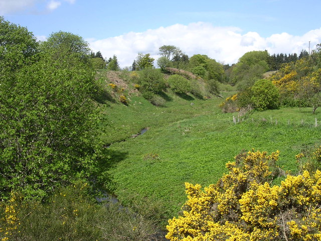
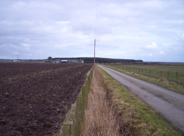
Pillar Wood is a picturesque forest located in Angus, Scotland. Covering an area of approximately 150 acres, this wood is known for its diverse flora and fauna, making it a popular destination for nature enthusiasts and wildlife lovers.
The forest is dominated by majestic oak and beech trees, which create a dense canopy, providing shelter to a variety of bird species, including woodpeckers, owls, and thrushes. The forest floor is carpeted with a rich layer of mosses, ferns, and wildflowers, adding to the wood's beauty and biodiversity.
Pillar Wood is crisscrossed by a network of well-maintained walking trails, allowing visitors to explore the forest at their own pace. These trails meander through the wood, offering stunning views of the surrounding countryside and providing opportunities for birdwatching and wildlife spotting.
The wood also boasts a small pond, which serves as a crucial habitat for amphibians, such as frogs and newts, as well as attracting a variety of dragonflies and damselflies during the summer months.
In addition to its natural beauty, Pillar Wood holds historical significance. It is believed to have been part of an ancient royal hunting ground, dating back to the medieval period. The wood's name, Pillar, is said to derive from the presence of stone pillars that marked the boundaries of this hunting reserve centuries ago.
Overall, Pillar Wood is a captivating destination that offers a tranquil escape into nature, where visitors can immerse themselves in the beauty of the Scottish countryside and discover the rich biodiversity that this forest has to offer.
If you have any feedback on the listing, please let us know in the comments section below.
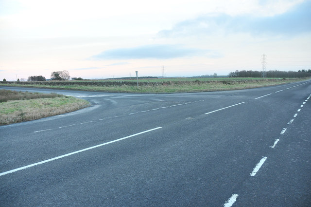
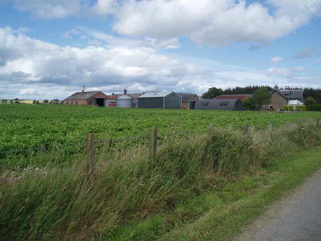
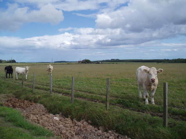
Pillar Wood Images
Images are sourced within 2km of 56.540088/-2.7546249 or Grid Reference NO5338. Thanks to Geograph Open Source API. All images are credited.


Pillar Wood is located at Grid Ref: NO5338 (Lat: 56.540088, Lng: -2.7546249)
Unitary Authority: Angus
Police Authority: Tayside
What 3 Words
///reputable.shifts.decisive. Near Carnoustie, Angus
Nearby Locations
Related Wikis
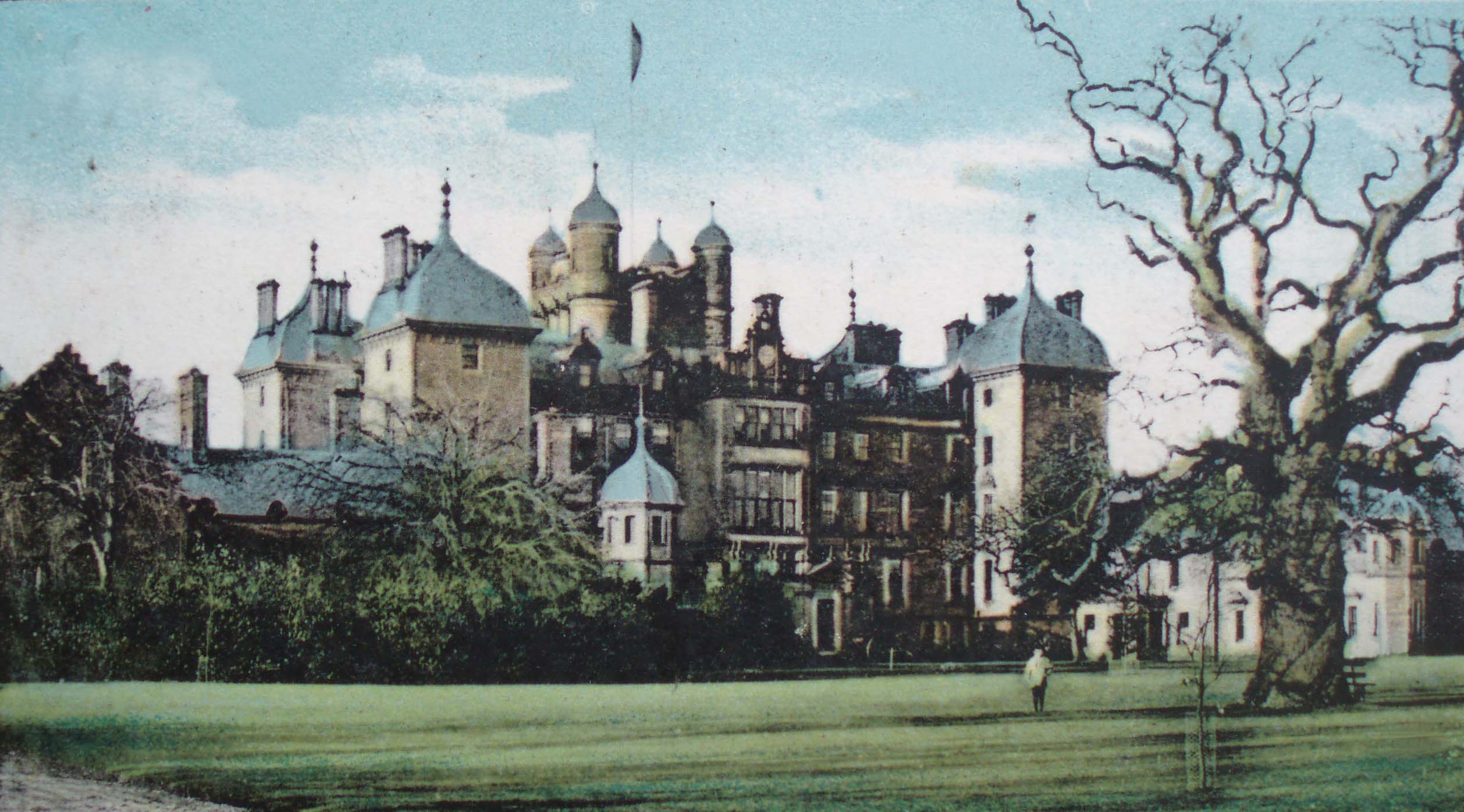
Panmure House
Panmure House was a 17th-century country house in the Parish of Panbride, Angus, Scotland, 4 miles (6 km) to the north of Carnoustie. It was the seat of...

Camuston
Camuston was a village that once existed in Angus, Scotland until the late 18th/early 19th centuries. No trace of it can be found today, but its former...

Camus Cross
The Camus Cross, otherwise known as the Camuston or Camustane Cross, is an Early Medieval Scottish standing stone on the Panmure Estate near Carnoustie...
Carnegie Castle
Carnegie Castle was a castle that was located in Angus, Scotland. The Carnegies owned the property between the 15th-18th century. The site of the castle...
Downie Hills
The Downie Hills are a small range of hills in Angus, Scotland, approximately 4 kilometres (2.5 mi) to the North of Carnoustie. At their highest point...

Panmure Testimonial
The Panmure Testimonial, otherwise known as the Live and Let Live Memorial, is a monument in Angus, Scotland. It was erected in 1839 to commemorate the...

Craigton, Angus
Craigton is a village in Angus, Scotland. It lies to the north of the Downie Hills, approximately three miles north of Carnoustie. Immediately to the west...
Upper Victoria
Upper Victoria is a hamlet in Angus, Scotland. It lies on the A92 road between Arbroath and Dundee and is the location of the junction of the A92 and the...
Nearby Amenities
Located within 500m of 56.540088,-2.7546249Have you been to Pillar Wood?
Leave your review of Pillar Wood below (or comments, questions and feedback).