Brax Strip

Wood, Forest in Angus

Scotland

Brax Strip

Montague Bridge, Panmure Estate This 80ft high bridge over the Monikie Burn dates from 1854, and was designed by the architect, David Bryce.
Montague Bridge, Panmure Estate Credit: Euan Nelson

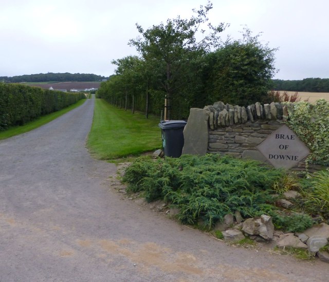
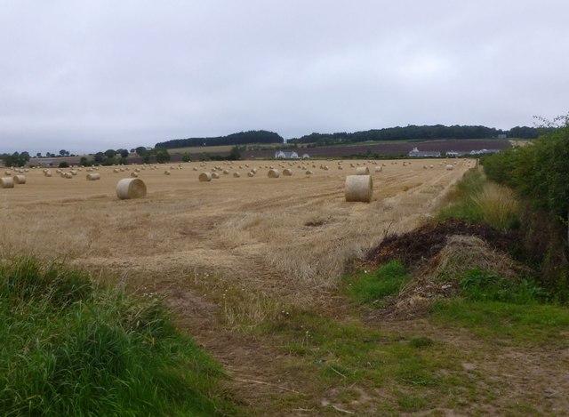
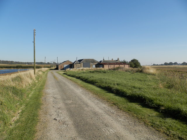
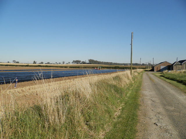
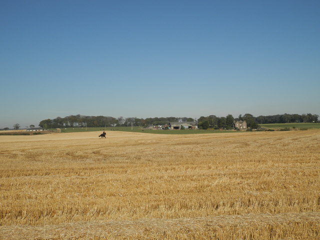
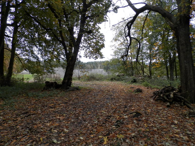
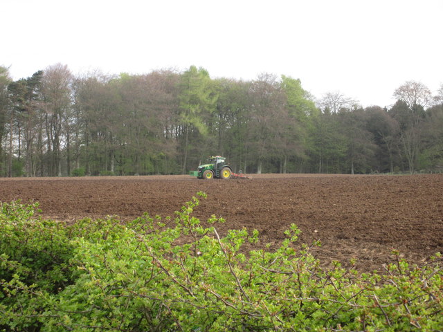
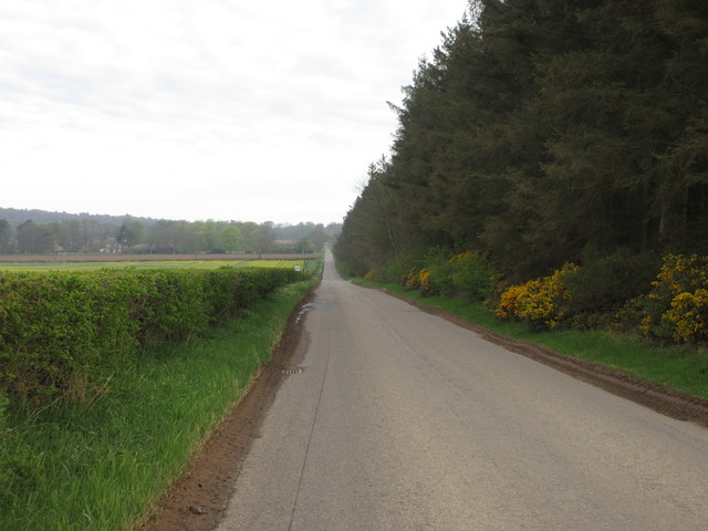
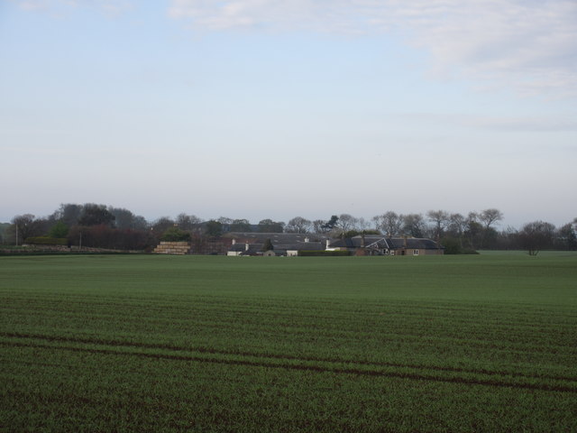
Brax Strip, Angus (Wood, Forest) is a picturesque woodland located in the Angus region of Scotland. Covering an area of approximately 200 acres, it is a significant natural attraction for locals and tourists alike. The woodland is situated in the northeast of Scotland, near the small village of Brax, and is easily accessible by car or public transport.

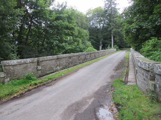
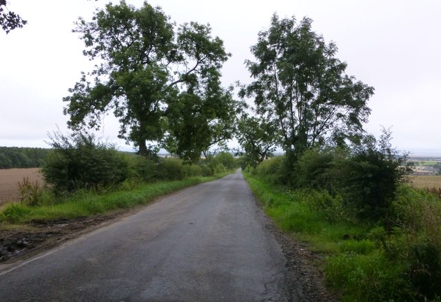
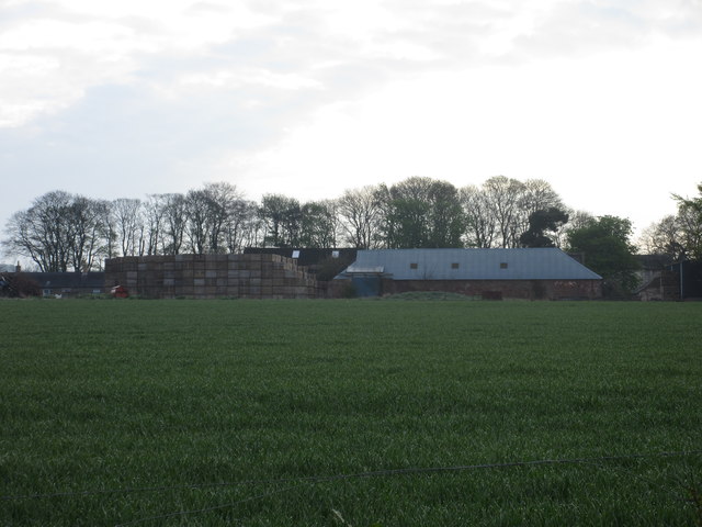
Brax Strip is characterized by its lush greenery, comprising a diverse range of tree species such as oak, beech, and pine. The woodland is well-maintained, with designated walking trails that allow visitors to explore its enchanting beauty. These trails provide an opportunity to immerse oneself in nature, offering breathtaking views of the surrounding landscape.

The woodland is home to a variety of wildlife, including deer, foxes, and several species of birds. Birdwatchers will find the area particularly interesting, as rare and migratory species can often be spotted here.

Brax Strip is not only a haven for nature lovers but also an important conservation area. The woodland plays a crucial role in preserving the local ecosystem and acts as a carbon sink, contributing to the fight against climate change.

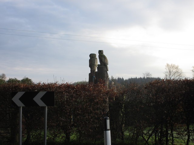
Visitors to Brax Strip can enjoy a peaceful and serene atmosphere, perfect for relaxation and reconnecting with nature. Whether it’s a leisurely walk, a picnic with family and friends, or birdwatching, Brax Strip offers a variety of activities for visitors of all ages.

In conclusion, Brax Strip, Angus (Wood, Forest) is a stunning woodland that showcases the beauty of the Scottish countryside. Its well-preserved natural environment and diverse wildlife make it a must-visit destination for those seeking tranquility and a closer connection to nature.

If you have any feedback on the listing, please let us know in the comments section below.

Brax Strip Images

Images are sourced within 2km of 56.518342/-2.7538837 or Grid Reference NO5336. Thanks to Geograph Open Source API. All images are credited.

Montague Bridge, Panmure Estate This 80ft high bridge over the Monikie Burn dates from 1854, and was designed by the architect, David Bryce.
Montague Bridge, Panmure Estate
This 80ft high bridge over the Monikie Burn dates from 1854, and was designed by the architect, David Bryce.
Drive up to Brae of Downie With the Downie Hills beyond.
Drive up to Brae of Downie
With the Downie Hills beyond.
Stubble and straw bales Below Brae of Downie.
Stubble and straw bales
Below Brae of Downie.
The straight road to Carnoustie With Weet's Wood on the left.
The straight road to Carnoustie
With Weet's Wood on the left.
Lower Balmachie
Lower Balmachie
Farming at Lower Balmachie Looks like polythene lazybeds in the field on the left
Farming at Lower Balmachie
Looks like polythene lazybeds in the field on the left
Clayholes Farm
Clayholes Farm
Farmland at Clayholes Carlogie Farm sits in the middle distance. The crops have been harvested and the horse rider takes the opportunity to give the horse a run on the wide expanse.
Farmland at Clayholes
Carlogie Farm sits in the middle distance. The crops have been harvested and the horse rider takes the opportunity to give the horse a run on the wide expanse.
All is safely gathered in The combine harvester has completed its task.
All is safely gathered in
The combine harvester has completed its task.
Road between Mains of Panmure and Craigton
Barry Mill Waterpowered oatmeal mill with a kiln. Last worked commercially in 1982. National Trust for Scotland property.
Barry Mill
Waterpowered oatmeal mill with a kiln. Last worked commercially in 1982. National Trust for Scotland property.
Barry Mill near Carnoustie, Angus A watermill to produce oatmeal that is now owned by the National Trust for Scotland. Unfortunately it was closed but at least I got a decent exterior view of it.
Barry Mill near Carnoustie, Angus
A watermill to produce oatmeal that is now owned by the National Trust for Scotland. Unfortunately it was closed but at least I got a decent exterior view of it.
Woodland track to walled garden at Panmure
Carved Owls Wood carved owls on a tree stump, in the morning light near Panmure Sawmill.
Carved Owls
Wood carved owls on a tree stump, in the morning light near Panmure Sawmill.
Ploughing at Panmure Early morning ploughing in operation at Panmure.
Ploughing at Panmure
Early morning ploughing in operation at Panmure.
The long straight Mile and a half long straight section of road between Carnoustie and Monikie.
The long straight
Mile and a half long straight section of road between Carnoustie and Monikie.
Mains of Ravensby Mains of Ravensby viewed from the road to the north-east.
Mains of Ravensby
Mains of Ravensby viewed from the road to the north-east.
Pitskelly Farm Pitskelly, viewed from the road to the west.
Pitskelly Farm
Pitskelly, viewed from the road to the west.
Show me another place!

Brax Strip is located at Grid Ref: NO5336 (Lat: 56.518342, Lng: -2.7538837)

Unitary Authority: Angus

Police Authority: Tayside

What 3 Words

///accent.crumbles.noticing. Near Carnoustie, Angus

Nearby Locations

Brax Strip

Related Wikis

Upper Victoria

Upper Victoria is a hamlet in Angus, Scotland. It lies on the A92 road between Arbroath and Dundee and is the location of the junction of the A92 and the...
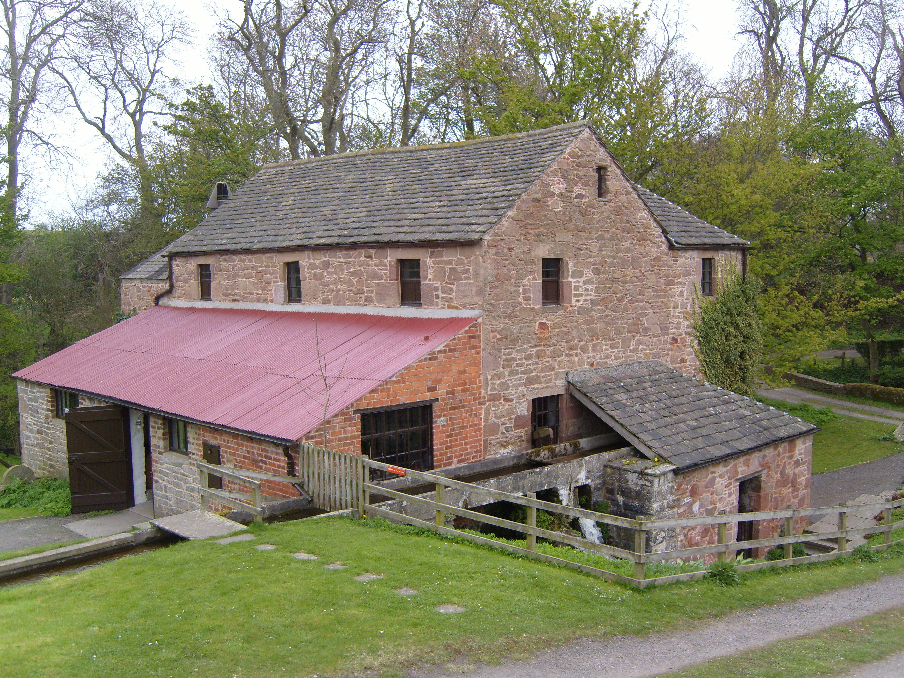
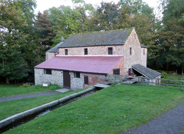
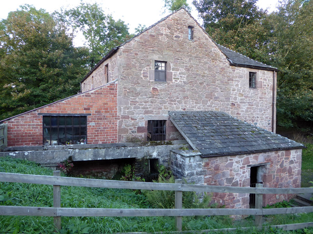
Barry Mill

Barry Mill is a working Category A listed watermill in Barry, Angus in eastern Scotland. It is owned and operated by the National Trust for Scotland as...

Clayholes

Clayholes is a small hamlet in Angus, Scotland. It lies approximately 0.5 kilometres (0.31 mi) north of Carnoustie on the unclassified Balmachie road,...

Camuston

Camuston was a village that once existed in Angus, Scotland until the late 18th/early 19th centuries. No trace of it can be found today, but its former...

Nearby Amenities

Located within 500m of 56.518342,-2.7538837
Bus Stop
Upper Victoria opp Road End
Naptan AtcoCode: 6490IM1430
Naptan Bearing: E
Naptan CommonName: Upper Victoria opp Road End
Naptan Indicator: opp Road End
Naptan NaptanCode: 26425857
Naptan Street: A92
Naptan Verified: no
Source: naptan_import
Lat/Long: 56.5142996/-2.7570962
Bus Stop
Upper Victoria at Road End
Naptan AtcoCode: 6490IM1431
Naptan Bearing: NE
Naptan CommonName: Upper Victoria at Road End
Naptan Indicator: at Road End
Naptan Landmark: Underpass
Naptan NaptanCode: 26425858
Naptan Street: A92
Naptan Verified: no
Source: naptan_import
Lat/Long: 56.514599/-2.7551358
Motorway Junction
Lat/Long: 56.5144337/-2.7562229
Motorway Junction
Lat/Long: 56.5146004/-2.7560306
Upper Victoria
Place: hamlet
Lat/Long: 56.5148664/-2.754491
Power: pole
Lat/Long: 56.5172333/-2.7550772
Power: pole
Lat/Long: 56.5168217/-2.7547218
Power: pole
Lat/Long: 56.5163702/-2.7543378
Power: pole
Lat/Long: 56.5159187/-2.7539604
Power: pole
Lat/Long: 56.5155071/-2.753594
Give Way
Direction: backward
Lat/Long: 56.5152835/-2.756658
The data included in this document is from www.openstreetmap.org. The data is made available under ODbL.

Have you been to Brax Strip?

Leave your review of Brax Strip below (or comments, questions and feedback).