Clearie Woods
Wood, Forest in Angus
Scotland
Clearie Woods
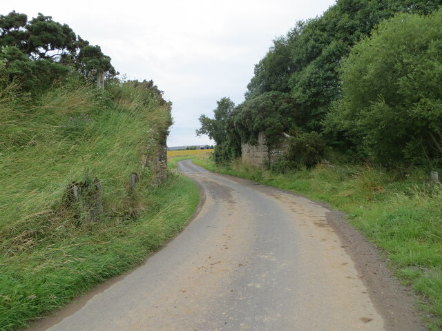
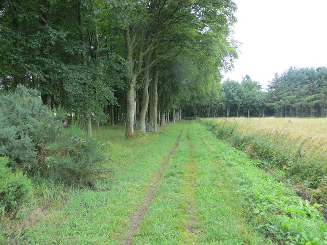
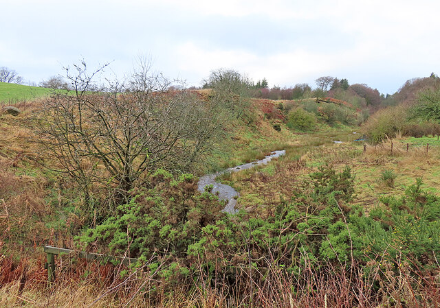
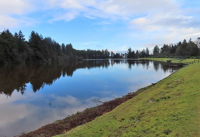
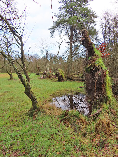
Clearie Woods, located in the Angus region of Scotland, is a picturesque forest that spans approximately 50 hectares. This enchanting woodland is renowned for its diverse range of flora and fauna, making it a popular destination for nature enthusiasts and hikers alike.
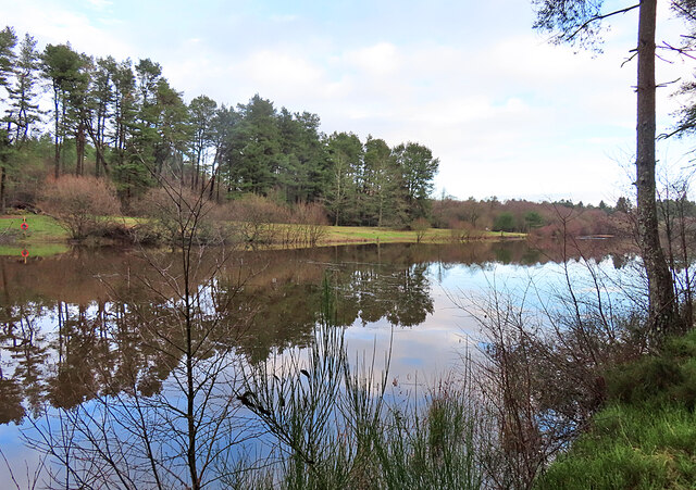
The forest is predominantly composed of native tree species, such as oak, birch, and pine, which create a lush and vibrant canopy. The dense undergrowth is home to a variety of wildflowers, including bluebells, primroses, and wood anemones, which blanket the forest floor in a colorful display during the spring months.
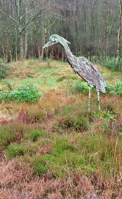
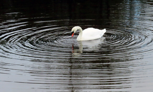
Clearie Woods is teeming with wildlife, providing a haven for numerous species. Birdwatchers can spot a wide array of avian species, including woodpeckers, owls, and various songbirds. The forest is also home to mammals such as red squirrels, badgers, and roe deer, which can often be observed in their natural habitat.
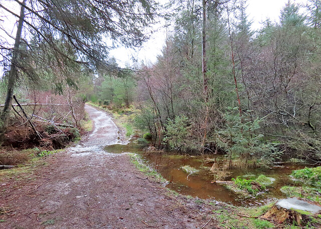
Several well-maintained trails wind their way through Clearie Woods, offering visitors the opportunity to explore the forest's beauty. These paths vary in difficulty, catering to both casual strollers and more experienced hikers. Along the way, informative signs provide insights into the forest's ecosystem, highlighting the importance of conservation and biodiversity.
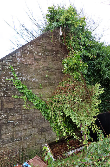
Clearie Woods is not only a haven for flora and fauna but also a place of tranquility and natural beauty. Its serene atmosphere and stunning scenery make it a wonderful spot for picnics, photography, or simply a peaceful retreat from the bustling outside world.
If you have any feedback on the listing, please let us know in the comments section below.
Clearie Woods Images
Images are sourced within 2km of 56.546171/-2.7634797 or Grid Reference NO5339. Thanks to Geograph Open Source API. All images are credited.


Clearie Woods is located at Grid Ref: NO5339 (Lat: 56.546171, Lng: -2.7634797)
Unitary Authority: Angus
Police Authority: Tayside
What 3 Words
///neon.flush.tint. Near Carnoustie, Angus
Nearby Locations
Related Wikis
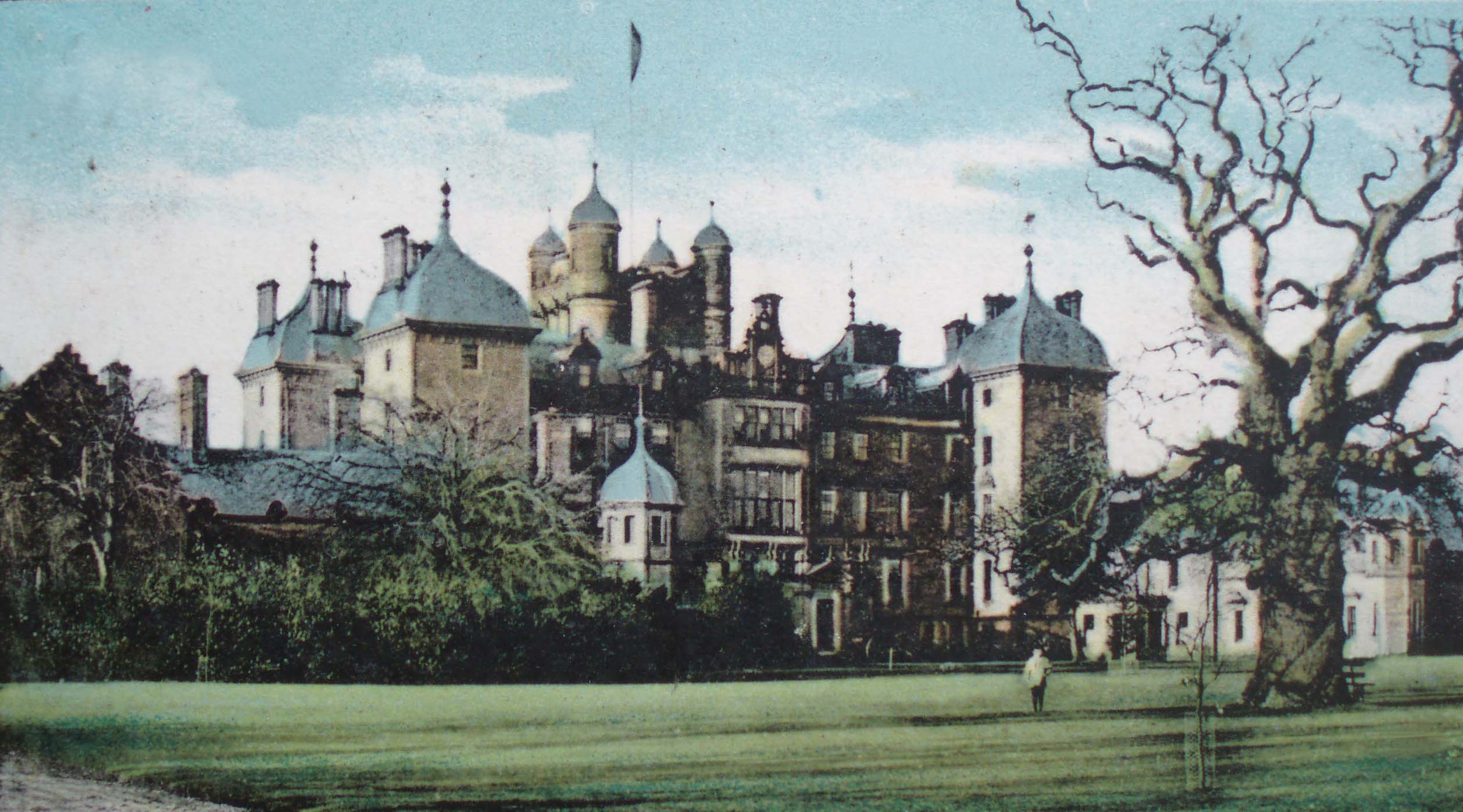
Panmure House
Panmure House was a 17th-century country house in the Parish of Panbride, Angus, Scotland, 4 miles (6 km) to the north of Carnoustie. It was the seat of...

Camuston
Camuston was a village that once existed in Angus, Scotland until the late 18th/early 19th centuries. No trace of it can be found today, but its former...
Carnegie Castle
Carnegie Castle was a castle that was located in Angus, Scotland. The Carnegies owned the property between the 15th-18th century. The site of the castle...

Camus Cross
The Camus Cross, otherwise known as the Camuston or Camustane Cross, is an Early Medieval Scottish standing stone on the Panmure Estate near Carnoustie...
Nearby Amenities
Located within 500m of 56.546171,-2.7634797Have you been to Clearie Woods?
Leave your review of Clearie Woods below (or comments, questions and feedback).