Blackbog Wood

Wood, Forest in East Lothian

Scotland

Blackbog Wood

Disused sluice, Gamuelston Near a pond.
Disused sluice, Gamuelston Credit: Richard Webb

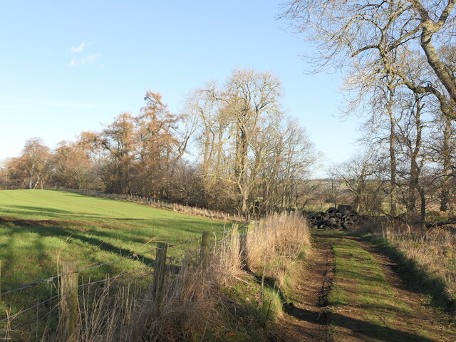
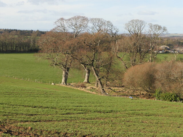
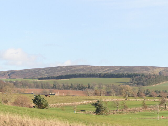
Blackbog Wood is a captivating forest located in East Lothian, Scotland. Spanning across a vast area, it is renowned for its natural beauty and diverse ecosystem. The wood is situated near the village of Gifford, surrounded by rolling hills and picturesque landscapes.

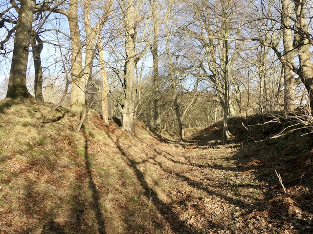
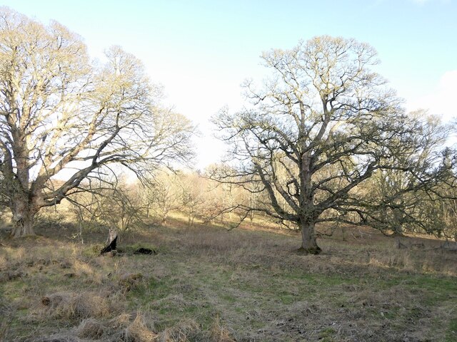
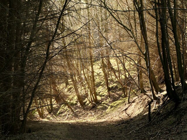
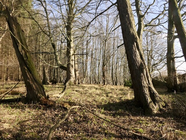
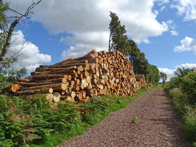
The wood is predominantly composed of native Scottish trees such as oak, birch, and rowan. These trees provide a stunning canopy that filters sunlight, creating a serene and peaceful atmosphere. The forest floor is adorned with a rich variety of mosses, ferns, and wildflowers, adding to its enchanting appeal.

Blackbog Wood is home to a plethora of wildlife, offering a sanctuary for numerous species. Birds such as woodpeckers, owls, and songbirds can be heard melodiously chirping throughout the trees. The wood also provides a habitat for mammals including red squirrels, deer, and foxes.

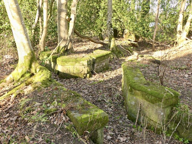
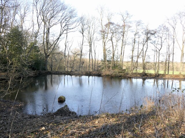
The wood is crisscrossed with a network of walking trails, allowing visitors to explore its beauty at their own pace. These trails lead to hidden gems within the wood, such as a tranquil pond and several small streams. Nature enthusiasts can indulge in birdwatching, photography, or simply taking a leisurely stroll amidst the towering trees.

Blackbog Wood is open to the public all year round, attracting visitors from near and far. Its accessibility, combined with its natural charm, makes it a popular destination for locals and tourists seeking respite from the hustle and bustle of everyday life.

If you have any feedback on the listing, please let us know in the comments section below.

Blackbog Wood Images

Images are sourced within 2km of 55.880272/-2.7503543 or Grid Reference NT5365. Thanks to Geograph Open Source API. All images are credited.

Disused sluice, Gamuelston Near a pond.
Disused sluice, Gamuelston
Near a pond.
Pond, Gamuelston
Pond, Gamuelston
Track, Gamuelston Bound for Yester woodlands.
Track, Gamuelston
Bound for Yester woodlands.
Saugh Wood, Yester
Saugh Wood, Yester
Quarry workings, Todlaw Bog Wood
Oaks, Todlaw Bog Wood
Todlaw Bog Wood
Todlaw Bog Wood
Southern edge of Todlaw Bog Wood
Castle Park Golf Club The skyline may well change due to plans for a rather poorly located wind farm on Redstone Rig.
Castle Park Golf Club
The skyline may well change due to plans for a rather poorly located wind farm on Redstone Rig.
Path, Todlaw Bog Wood Steep, a gentler alternative is shown on maps but is no longer in use.
Path, Todlaw Bog Wood
Steep, a gentler alternative is shown on maps but is no longer in use.
Harvested Field above Yester Wheat field recently harvested south of Yester Mains near Gifford.
Harvested Field above Yester
Wheat field recently harvested south of Yester Mains near Gifford.
Timber Pile at Wester Wood Wester Wood near Gifford which seems to be systematically felled at the moment. Timber pile on the southern edge of the woodland.
Timber Pile at Wester Wood
Wester Wood near Gifford which seems to be systematically felled at the moment. Timber pile on the southern edge of the woodland.
Field of Barley Field of Barley awaiting the harvest taken from the public road end south of Redshill. Small area round the power line with no crop.
Field of Barley
Field of Barley awaiting the harvest taken from the public road end south of Redshill. Small area round the power line with no crop.
The Harvest is in at Redshill Harvested field and bales just north of Redshill near Gifford on a lovely late summers day.
The Harvest is in at Redshill
Harvested field and bales just north of Redshill near Gifford on a lovely late summers day.
Direction Sign – Signpost at Longyester Located on the southwest side of the T junction at Longyester. 4 arms and ball finial. See also <a title="https://www.geograph.org.uk/photo/4184232" href="https://www.geograph.org.uk/photo/4184232">Link</a> and <a title="https://www.geograph.org.uk/photo/4184227" href="https://www.geograph.org.uk/photo/4184227">Link</a>.
Direction Sign – Signpost at Longyester
Located on the southwest side of the T junction at Longyester. 4 arms and ball finial. See also Link and Link.
Blawearie Wood A corner of the wood, with Gifford Golf Club on the right past a conifer hedge and rabbit fence.
Blawearie Wood
A corner of the wood, with Gifford Golf Club on the right past a conifer hedge and rabbit fence.
Track on the field edge Maps suggest that there was a track between two hedges here.
Track on the field edge
Maps suggest that there was a track between two hedges here.
Scarhill Wood Inside a deciduous wood by Redhill.
Scarhill Wood
Inside a deciduous wood by Redhill.
Show me another place!

Blackbog Wood is located at Grid Ref: NT5365 (Lat: 55.880272, Lng: -2.7503543)

Unitary Authority: East Lothian

Police Authority: The Lothians and Scottish Borders

What 3 Words

///vaulting.touches.raking. Near Haddington, East Lothian

Related Wikis

Yester House

Yester House is an early 18th-century mansion near Gifford in East Lothian, Scotland. It was the home of the Hay family, later Marquesses of Tweeddale...

Yester Chapel

Yester Chapel is situated on the estate of Yester House, at the south-east edge of the village of Gifford in East Lothian, Scotland. The chapel is situated...

Gifford Town Hall

Gifford Town Hall is a municipal building in The Square, Gifford, East Lothian, Scotland. The structure, which is used as a community events venue, is...

Gifford, East Lothian

Gifford is a village in the parish of Yester in East Lothian, Scotland. It lies approximately 4 miles (6.4 km) south of Haddington and 25 miles (40 km...

Nearby Amenities

Located within 500m of 55.880272,-2.7503543
Power: pole
Lat/Long: 55.8825157/-2.7561489
Power: pole
Lat/Long: 55.8824748/-2.7546695
Power: pole
Lat/Long: 55.8824444/-2.753213
Power: pole
Lat/Long: 55.8824105/-2.7518066
Power: pole
Lat/Long: 55.8823766/-2.7502751
Power: pole
Lat/Long: 55.8823404/-2.7487206
Power: pole
Lat/Long: 55.8823018/-2.7471912
Power: pole
Lat/Long: 55.8822667/-2.7456618
Power: pole
Lat/Long: 55.8822317/-2.7441094
Power: pole
Lat/Long: 55.8828476/-2.7445137
Power: pole
Lat/Long: 55.8834798/-2.74492
The data included in this document is from www.openstreetmap.org. The data is made available under ODbL.

Have you been to Blackbog Wood?

Leave your review of Blackbog Wood below (or comments, questions and feedback).