Langshaw Covert

Wood, Forest in Roxburghshire

Scotland

Langshaw Covert

Farm buildings at Over Langshaw With Over Langshaw Farm ice cream dispenser, between the rightmost red doors.
Farm buildings at Over Langshaw Credit: M J Richardson

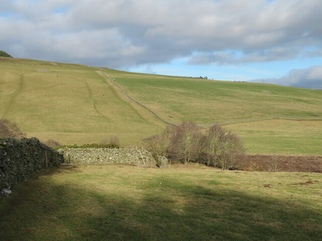
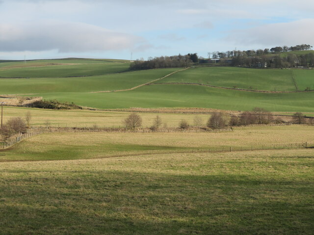
Langshaw Covert is a picturesque woodland located in the county of Roxburghshire, Scotland. Covering an area of approximately 100 hectares, this ancient forest is renowned for its natural beauty and rich biodiversity. The covert is nestled amidst the rolling hills and expansive meadows that characterize the region, making it a popular destination for nature lovers and outdoor enthusiasts.

The woodland itself is primarily composed of native broadleaf trees such as oak, birch, and ash, which lend a sense of tranquility and provide shelter to a diverse range of flora and fauna. The forest floor is adorned with a vibrant carpet of wildflowers, including bluebells, primroses, and wood anemones, which bloom during the spring months and create a stunning display of colors.

Langshaw Covert is also home to a plethora of wildlife, making it an ideal spot for wildlife enthusiasts and bird watchers. Species such as red squirrels, roe deer, and badgers can often be spotted roaming the forest, while a variety of bird species, including woodpeckers, owls, and warblers, inhabit the treetops.

The woodland offers several walking trails and paths, allowing visitors to explore its natural wonders at their own pace. These paths meander through the forest, offering glimpses of hidden glens, babbling brooks, and breathtaking vistas of the surrounding countryside.

With its serene ambiance and diverse ecosystem, Langshaw Covert provides a peaceful retreat for those seeking solace in nature's embrace. Whether it is a leisurely stroll, birdwatching, or simply immersing oneself in the beauty of the woodlands, this Roxburghshire forest promises a memorable experience for all who venture within its enchanting boundaries.

If you have any feedback on the listing, please let us know in the comments section below.

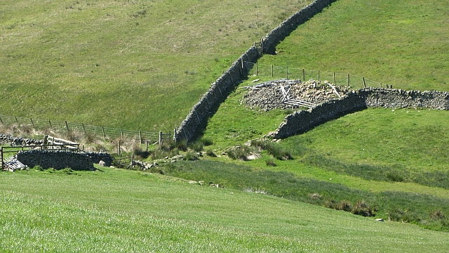
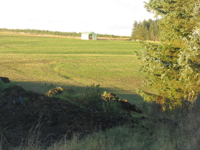
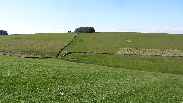
Langshaw Covert Images

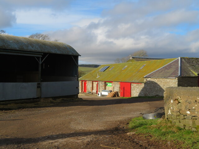
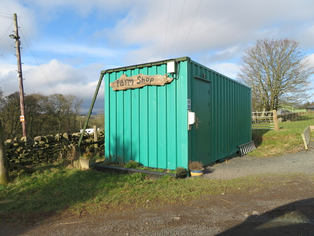
Images are sourced within 2km of 55.64706/-2.7529105 or Grid Reference NT5239. Thanks to Geograph Open Source API. All images are credited.

Farm buildings at Over Langshaw With Over Langshaw Farm ice cream dispenser, between the rightmost red doors.
Farm buildings at Over Langshaw
With Over Langshaw Farm ice cream dispenser, between the rightmost red doors.
Over Langshaw Farm Shop A novel use for a container.
Over Langshaw Farm Shop
A novel use for a container.
Pastures near Allan Water Looking down to the Allan Water, and beyond.
Pastures near Allan Water
Looking down to the Allan Water, and beyond.
The valley of the Allan Water Looking east across the valley to Over Langshaw.
The valley of the Allan Water
Looking east across the valley to Over Langshaw.
Kedslie Burn A meeting of dykes beside the burn.
Kedslie Burn
A meeting of dykes beside the burn.
Bluecairn Road A trackway above Langshaw. There is an electric fence along the way, but it is passable using one of those slinky things with an insulated handle.
Bluecairn Road
A trackway above Langshaw. There is an electric fence along the way, but it is passable using one of those slinky things with an insulated handle.
Ewe and lamb, Over Langshaw Overlooking the Moss Burn, and some moss land.
Ewe and lamb, Over Langshaw
Overlooking the Moss Burn, and some moss land.
Field near the Bluecairn Road
Bluecairn Road The Bluecairn Road has grassed over in the northern section. All the gates open however and there is an insulated slinky for getting past an electric fence.
Bluecairn Road
The Bluecairn Road has grassed over in the northern section. All the gates open however and there is an insulated slinky for getting past an electric fence.
Shed in a field On Kedslie Hill.
Shed in a field
On Kedslie Hill.
Kedslie Hill Improved grassland with a clearance cairn.
Kedslie Hill
Improved grassland with a clearance cairn.
Bluecairn Road A trackway along a ridge, the surface varies from a tractor track to grass.
Bluecairn Road
A trackway along a ridge, the surface varies from a tractor track to grass.
Electric gate A "slinky" with an insulated handle is often used to complete electric fence circuits across gates.
Electric gate
A "slinky" with an insulated handle is often used to complete electric fence circuits across gates.
Field, Langshaw
Field, Langshaw
Track on Mosshouses Moor Looking almost due south to Eildon Mid Hill down this long straight track to Gattonside and Melrose, used by the Southern Upland Way.
Track on Mosshouses Moor
Looking almost due south to Eildon Mid Hill down this long straight track to Gattonside and Melrose, used by the Southern Upland Way.
Hillside above Langshaw A few years earlier the hillside was dug up for pipeline construction.
Hillside above Langshaw
A few years earlier the hillside was dug up for pipeline construction.
Allan Valley View Looking across the farmland of the Allan Valley between Langshaw and Lauder in mid-July evening sunlight.
Allan Valley View
Looking across the farmland of the Allan Valley between Langshaw and Lauder in mid-July evening sunlight.
In The Allan Valley Dry-stane dykes mark the field boundaries in this grazing area near Langshaw.
In The Allan Valley
Dry-stane dykes mark the field boundaries in this grazing area near Langshaw.
Show me another place!

Langshaw Covert is located at Grid Ref: NT5239 (Lat: 55.64706, Lng: -2.7529105)

Unitary Authority: The Scottish Borders

Police Authority: The Lothians and Scottish Borders

What 3 Words

///snoozing.embarks.owner. Near Galashiels, Scottish Borders

Nearby Locations

Langshaw Covert

Related Wikis

Carolside, Scottish Borders

Carolside is an estate by the Leader Water, in the Scottish Borders. It is located one mile (1.6 km) north of Earlston, in the former county of Berwickshire...

Gala Water

The Gala Water (Lowland Scots: Gala Watter; Scottish Gaelic An Geal Ath) is a river in the Scottish Borders area of Scotland and a tributary of the River...

Birkenside, Scottish Borders

Birkenside is a village in the Scottish Borders, Scotland.

Galashiels Golf Club

Galashiels Golf Club is a golf course to the north of Galashiels, Scotland. The course was reduced from 18 holes to 9 holes in 2008. == History == Founded...

Nearby Amenities

Located within 500m of 55.64706,-2.7529105
Mosshouses
Is In: Borders, Scotland, UK
Place: hamlet
Lat/Long: 55.6480145/-2.7461781
Ele: 299
Natural: peak
Lat/Long: 55.6512308/-2.7531104
Power: tower
Lat/Long: 55.644907/-2.7582673
Power: tower
Lat/Long: 55.6474139/-2.7571442
Power: tower
Lat/Long: 55.6498645/-2.7560445
Power: pole
Lat/Long: 55.6473214/-2.7607668
Power: pole
Lat/Long: 55.6472783/-2.759395
Power: pole
Lat/Long: 55.6472396/-2.7579901
Power: pole
Lat/Long: 55.6476359/-2.7575498
Power: pole
Lat/Long: 55.6484588/-2.7574047
Power: pole
Lat/Long: 55.6489959/-2.7573029
Power: pole
Lat/Long: 55.6496149/-2.7571935
Power: pole
Lat/Long: 55.6503473/-2.7570611
Power: pole
Lat/Long: 55.6476331/-2.7560558
Power: pole
Lat/Long: 55.6476273/-2.7543862
Power: pole
Lat/Long: 55.6476316/-2.7530399
Power: pole
Lat/Long: 55.6474334/-2.751831
Power: pole
Lat/Long: 55.6479763/-2.7506424
Generator Method: wind_turbine
Generator Output Electricity: yes
Generator Source: wind
Generator Type: horizontal_axis
Power: generator
Lat/Long: 55.6502283/-2.7473277
The data included in this document is from www.openstreetmap.org. The data is made available under ODbL.

Have you been to Langshaw Covert?

Leave your review of Langshaw Covert below (or comments, questions and feedback).