Garden Plantation

Wood, Forest in Berwickshire

Scotland

Garden Plantation

Landscape near Lauderhaugh Fields in crop adjacent to A68 (shortly before turning to Lauderhaugh on other side of the road)
Landscape near Lauderhaugh Credit: Clint Mann

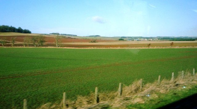
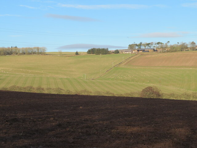
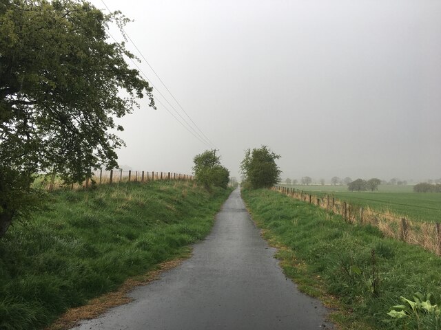
Garden Plantation is a picturesque woodland located in the region of Berwickshire, Scotland. Covering a vast area of lush vegetation, this enchanting forest is a haven for nature lovers and offers a peaceful retreat from the hustle and bustle of daily life.

The woodland is primarily composed of a variety of tall, majestic trees such as oak, beech, and pine, creating a rich and diverse ecosystem. These trees provide a sheltered habitat for a wide range of wildlife, including birds, small mammals, and insects, making it a popular destination for birdwatchers and nature enthusiasts.

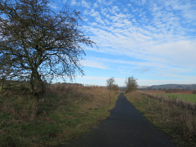
Visitors to Garden Plantation can explore the forest through a network of well-maintained trails, allowing them to immerse themselves in the tranquility of nature. Along the pathways, there are interpretive signs that provide information about the different tree species and wildlife that can be found in the area, enhancing the educational value of the experience.

The woodland also features a small stream that meanders through the forest, adding to the charm and beauty of the landscape. This stream provides a source of water for the flora and fauna, creating a thriving ecosystem within the forest.

Garden Plantation is open to the public year-round and offers an ideal setting for leisurely walks, picnics, and photography. It is a cherished destination for locals and tourists alike, who appreciate its natural beauty and the sense of tranquility it provides. Whether seeking a peaceful escape or a chance to connect with nature, Garden Plantation in Berwickshire is a must-visit destination for any nature enthusiast.

If you have any feedback on the listing, please let us know in the comments section below.

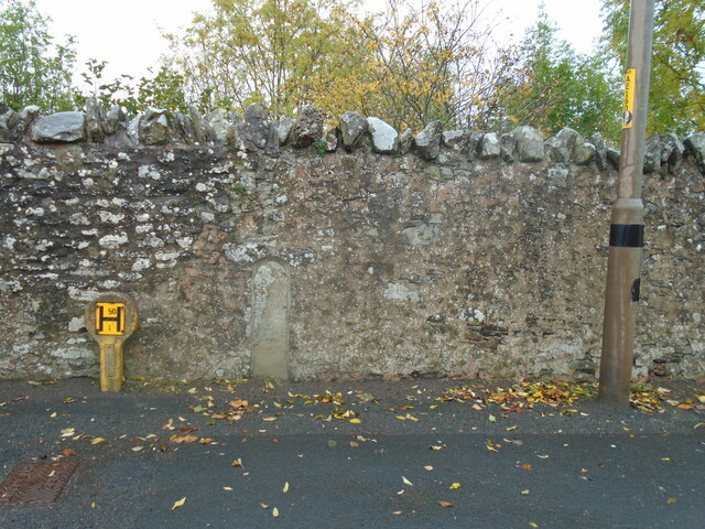
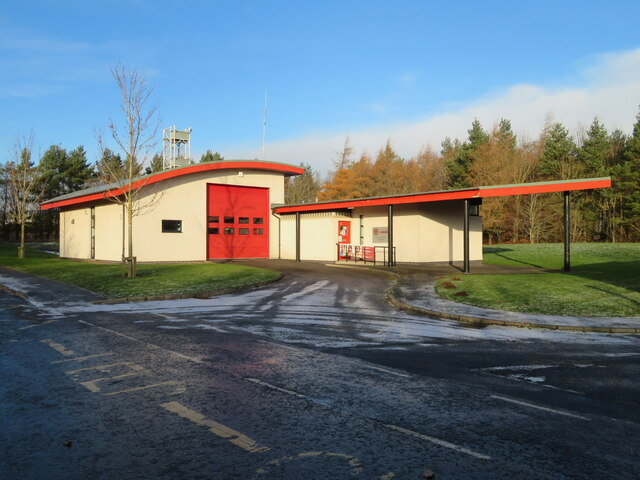
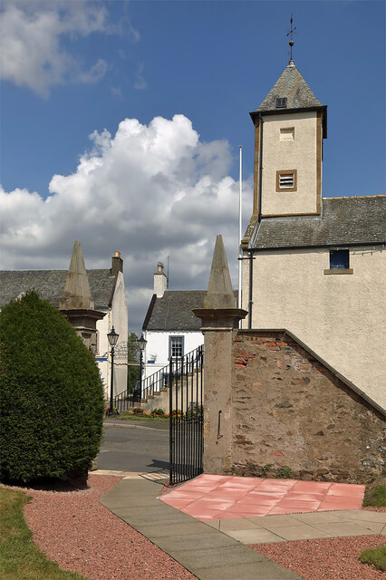
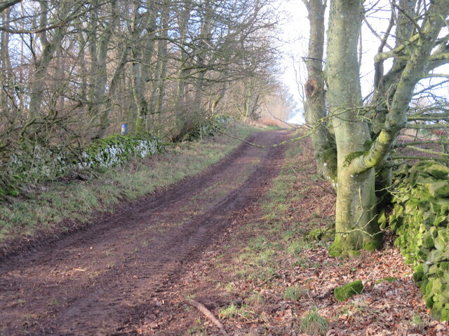
Garden Plantation Images

Images are sourced within 2km of 55.727766/-2.754543 or Grid Reference NT5248. Thanks to Geograph Open Source API. All images are credited.

Landscape near Lauderhaugh Fields in crop adjacent to A68 (shortly before turning to Lauderhaugh on other side of the road)
Landscape near Lauderhaugh
Fields in crop adjacent to A68 (shortly before turning to Lauderhaugh on other side of the road)
Old milepost The most northerly Smith Patterson post on the Kelso to Edinburgh route at Newbigging Walls.   It is on the west-side verge of the A697 opposite one of the farm buildings.   A prime subject for digging out and repainting as it gets rustier and rustier as the years pass  <a href="https://www.geograph.org.uk/photo/6102356">NT5350 : Old Milepost by the A697, Newbiggins Walls</a>   There is another MP marked on the 2007 OS 50000 a mile further north but it cannot now be found.  It was photographed in the 1980s, well painted although quite sunken.  White top, black stem as this one.
Old milepost
The most northerly Smith Patterson post on the Kelso to Edinburgh route at Newbigging Walls. It is on the west-side verge of the A697 opposite one of the farm buildings. A prime subject for digging out and repainting as it gets rustier and rustier as the years pass NT5350 : Old Milepost by the A697, Newbiggins Walls There is another MP marked on the 2007 OS 50000 a mile further north but it cannot now be found. It was photographed in the 1980s, well painted although quite sunken. White top, black stem as this one.
Old Milepost by the A697, Newbiggins Walls Blaydon casting by the A697, in parish of Lauder (Berwick District), Newbiggins Walls, opposite farm.

Inscription reads:-
: EDINBURGH / 24 / MILES : : KELSO / 18 / MILES :
Maker:-
: SMITH PATTERSON / BLAYDON :

Surveyed

Milestone Society National ID: BD_KSED18
Old Milepost by the A697, Newbiggins Walls
Blaydon casting by the A697, in parish of Lauder (Berwick District), Newbiggins Walls, opposite farm. Inscription reads:- : EDINBURGH / 24 / MILES : : KELSO / 18 / MILES : Maker:- : SMITH PATTERSON / BLAYDON : Surveyed Milestone Society National ID: BD_KSED18
Bin lorry, Newbigging
Huntington farm buildings A very neat and tidy farm steading by the A697. A red note on the post reads 
'KEEP 
OFF 
THE F'IN 
GRASS'
Clearly they hope to keep it neat and tidy.
Huntington farm buildings
A very neat and tidy farm steading by the A697. A red note on the post reads 'KEEP OFF THE F'IN GRASS' Clearly they hope to keep it neat and tidy.
Trailers at Huntington farm Ready for harvesting.
Trailers at Huntington farm
Ready for harvesting.
Pasture in Lauderdale Cattle at rest [ruminating]. Looking northeast towards the Lammermuir hills.
Pasture in Lauderdale
Cattle at rest [ruminating]. Looking northeast towards the Lammermuir hills.
Market Place, Lauder The excellent Black Bull Hotel in the background.  If visiting, check out the beautiful natural wood bar furniture, made by the proprietor.
Market Place, Lauder
The excellent Black Bull Hotel in the background. If visiting, check out the beautiful natural wood bar furniture, made by the proprietor.
Old milestone Set into the stone wall on the east side of the A68 at the south end of Lauder.   Plenty of lichens.   A painted legend may once have read Edinburgh 26 Kelso 17.   It is marked on the pre 1900 6" OS map but not on current maps.  It is near lamppost AE1609.
Old milestone
Set into the stone wall on the east side of the A68 at the south end of Lauder. Plenty of lichens. A painted legend may once have read Edinburgh 26 Kelso 17. It is marked on the pre 1900 6" OS map but not on current maps. It is near lamppost AE1609.
Old milestone A view of the old milestone set in the high, old stone wall at the south end of Lauder showing it between the Hydrant post and the street lamp.   This area of The Borders was in Berwickshire prior to the formation of the larger administration areas in the 1970s.
Old milestone
A view of the old milestone set in the high, old stone wall at the south end of Lauder showing it between the Hydrant post and the street lamp. This area of The Borders was in Berwickshire prior to the formation of the larger administration areas in the 1970s.
Lauder Community Fire Station On the northern Edge of the village.
Lauder Community Fire Station
On the northern Edge of the village.
The entrance gate to Lauder Old Parish Churchyard This is a view to the entrance at Market Place from the churchyard with the town hall clock tower on the right.
The entrance gate to Lauder Old Parish Churchyard
This is a view to the entrance at Market Place from the churchyard with the town hall clock tower on the right.
Track at Trabrown On the northeast slope of Trabrown Hill.
Track at Trabrown
On the northeast slope of Trabrown Hill.
Newly ploughed field at Trabrown Looking across the valley of an unnamed burn to Pilmuir.
Newly ploughed field at Trabrown
Looking across the valley of an unnamed burn to Pilmuir.
Old railway track The track of the long-closed and dismantled Lauder Light Railway. Now part of a network of footpaths in Lauderdale.
Old railway track
The track of the long-closed and dismantled Lauder Light Railway. Now part of a network of footpaths in Lauderdale.
B6362 towards Lauder
Old railway path north of Lauder
Show me another place!

Garden Plantation is located at Grid Ref: NT5248 (Lat: 55.727766, Lng: -2.754543)

Unitary Authority: The Scottish Borders

Police Authority: The Lothians and Scottish Borders

What 3 Words

///comedians.tech.raves. Near Lauder, Scottish Borders

Related Wikis

Lauderdale

Lauderdale is the valley of the Leader Water (a tributary of the Tweed) in the Scottish Borders. It contains the town of Lauder, as well as Earlston. The...

Lauder railway station

Lauder railway station served the town of Lauder, Berwickshire, Scotland, from 1901 to 1958. It was situated on the Lauder Light Railway. == History... ==

Thirlestane Castle

Thirlestane Castle is a castle set in extensive parklands near Lauder in the Borders of Scotland. The site is aptly named Castle Hill, as it stands upon...

Lauder

The former Royal Burgh of Lauder (, Scottish Gaelic: Labhdar) is a town in the Scottish Borders in the historic county of Berwickshire. On the Southern...

Lauder Town Hall

Lauder Town Hall is a municipal structure in the Market Place in Lauder, Scottish Borders, Scotland. The structure, which is used as the local registrar...

Addinston

Addinston is a farming village, off the A697, close to the Carfraemill roundabout, with two hill forts and settlements, in Lauderdale in the Scottish...

Whitslaid Tower

Whitslaid Tower was an ancient Berwickshire seat of the Lauder family for over 300 years. It is today a ruin high above the eastern bank of the Leader...

Boon Farm

Boon is a farm and former barony located near Lauder, Scotland. == History == === Name origins === Boon (aka "Boune" or "Bounn"), derives from the Breton...

Nearby Amenities

Located within 500m of 55.727766,-2.754543
Bus Stop
Brownsmuir Park
Bench: yes
Bin: no
Bus: yes
Departures Board: no
Lit: yes
Local Ref: opp
Naptan AtcoCode: 6900983
Naptan Bearing: S
Naptan CommonName: Brownsmuir Park
Naptan Indicator: opp
Naptan Landmark: Brownsmuir Park
Naptan NaptanCode: 72726323
Naptan Street: Edinburgh Road
Naptan Verified: yes
Public Transport: platform
Ref: 6900983
Shelter: no
Source: local knowledge;survey;NaPTAN
Tactile Paving: no
Lat/Long: 55.7235824/-2.7572411
Harryburn House
Place: isolated_dwelling
Lat/Long: 55.7263151/-2.7583702
Give Way
Direction: forward
Lat/Long: 55.7238923/-2.7580829
Power: pole
Lat/Long: 55.7238725/-2.7554437
Power: pole
Lat/Long: 55.7246179/-2.7554157
Power: pole
Lat/Long: 55.7253961/-2.7554361
Power: pole
Lat/Long: 55.7260024/-2.7554132
Power: pole
Lat/Long: 55.726537/-2.7554055
Power: pole
Lat/Long: 55.7271662/-2.7554055
Power: pole
Lat/Long: 55.7272479/-2.7563752
Power: pole
Lat/Long: 55.7272651/-2.7566374
Power: pole
Lat/Long: 55.7275876/-2.7575231
Power: pole
Lat/Long: 55.7279043/-2.758396
Power: pole
Lat/Long: 55.7282813/-2.7594573
Power: pole
Lat/Long: 55.7286653/-2.7604957
Power: pole
Lat/Long: 55.7290165/-2.7615061
Power: pole
Lat/Long: 55.7270924/-2.7544715
Maxspeed: 20 mph
Traffic Sign: maxspeed
Traffic Sign Direction: forward
Lat/Long: 55.7242746/-2.7585458
Maxspeed: 20 mph
Traffic Sign: maxspeed
Traffic Sign Direction: backward
Lat/Long: 55.7245801/-2.7567779
The data included in this document is from www.openstreetmap.org. The data is made available under ODbL.

Have you been to Garden Plantation?

Leave your review of Garden Plantation below (or comments, questions and feedback).