Amalveor

Settlement in Cornwall

England

Amalveor

Stone Stile SW4637a : On a footpath at the back of the farm, coming from the heathland. The footpath crosses through the farm and continues down a small access drive to the B3306 at Zennor.
Cattle stile beside farm gate.
Public footpath 120/4/1 gold from heathland to Zennor churchtown.
Stone Stile SW4637a Credit: Linda King

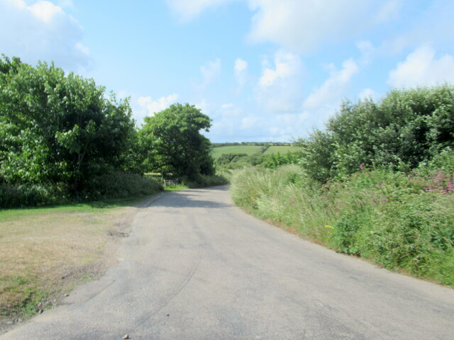
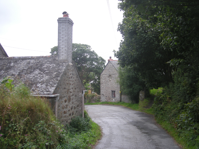
Amalveor is a small village located in the civil parish of St. Ives, within the county of Cornwall in southwestern England. Situated on the north coast of Cornwall, Amalveor enjoys a picturesque setting amidst rolling hills and verdant countryside. It lies approximately 4 miles northeast of the bustling town of St. Ives and is easily accessible by road, making it a popular destination for both locals and tourists alike.

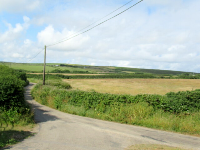
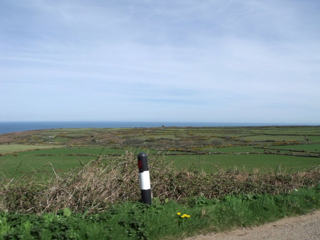
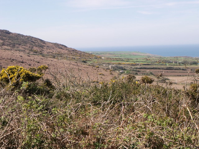
With a population of around 300 residents, Amalveor exudes a peaceful and rural charm. The village is renowned for its abundance of natural beauty, offering visitors stunning views of the nearby coastline and the Atlantic Ocean. The captivating landscape surrounding Amalveor is dotted with scenic walking paths and trails, making it a haven for outdoor enthusiasts and nature lovers.

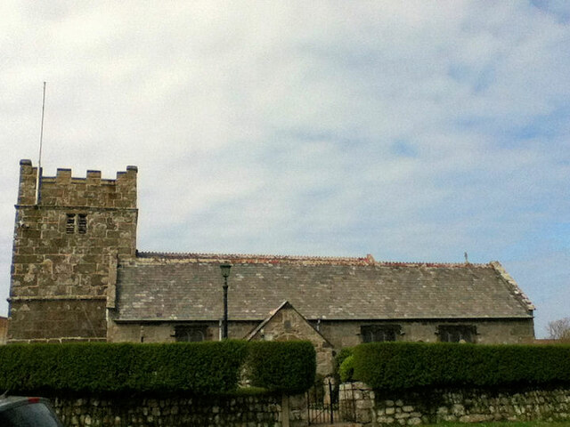
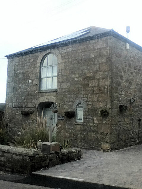
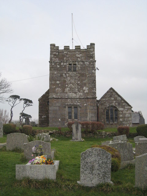
Despite its small size, Amalveor boasts a close-knit community that takes pride in its rich history and cultural heritage. The village features several well-preserved historic buildings, including a charming church that dates back to the 14th century. The locals often organize community events and activities, fostering a strong sense of camaraderie and togetherness.

For amenities and services, residents and visitors can rely on the nearby town of St. Ives, which offers a wide range of shops, restaurants, and recreational facilities. Amalveor serves as an ideal base for exploring the myriad of attractions in the surrounding area, including the renowned St. Ives Bay, the iconic Tate St. Ives art gallery, and the picturesque Cornish coastline.

Overall, Amalveor offers a tranquil and idyllic escape from the hustle and bustle of modern life, where visitors can immerse themselves in the natural beauty and rich history that Cornwall has to offer.

If you have any feedback on the listing, please let us know in the comments section below.
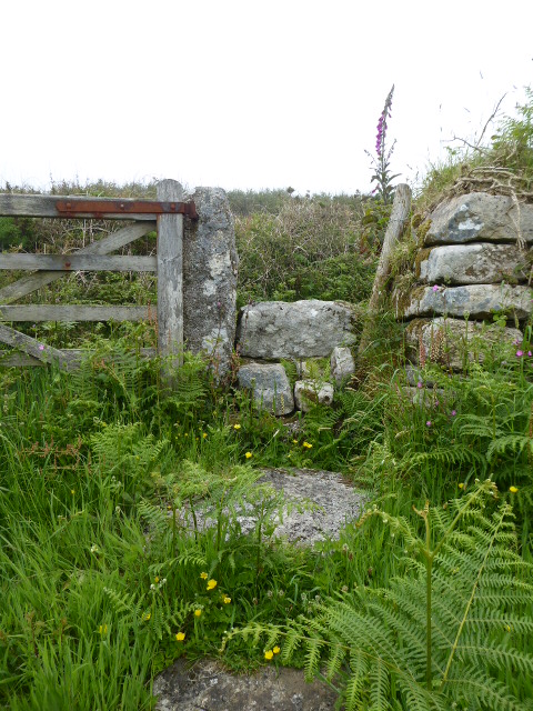
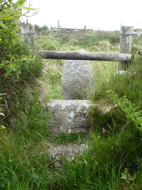
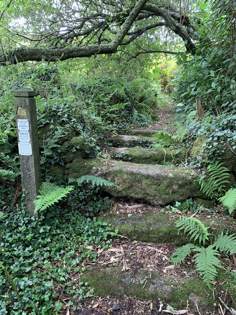
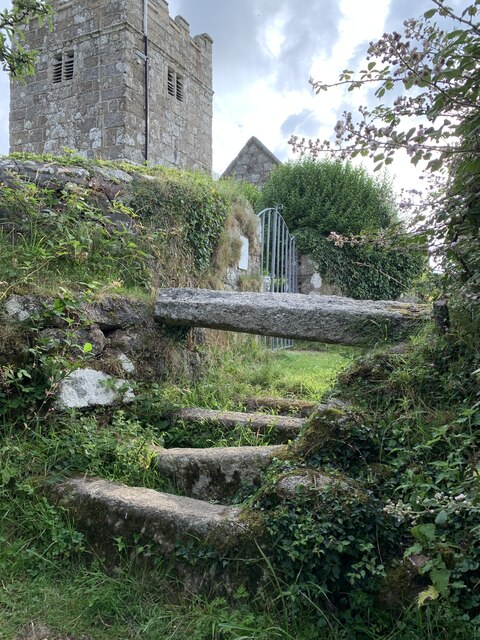
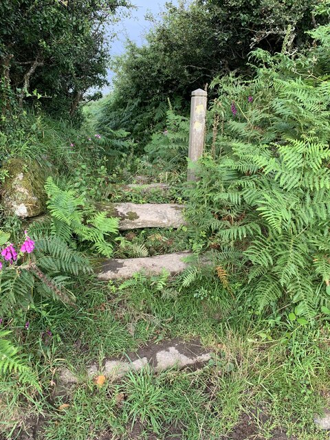
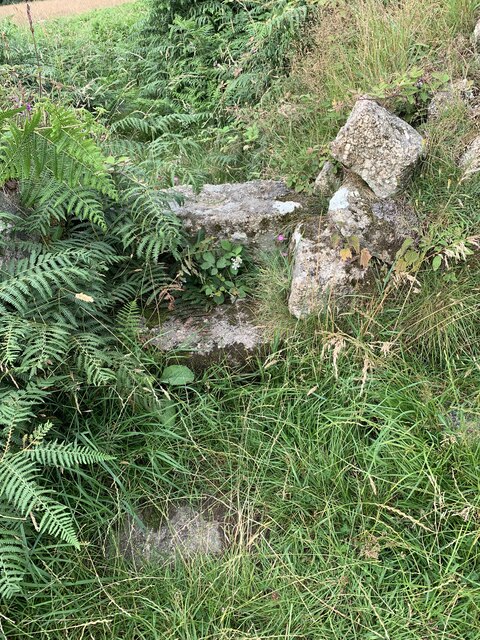
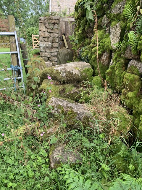
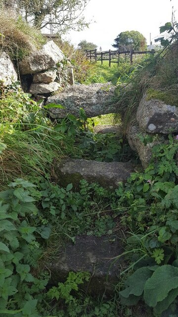
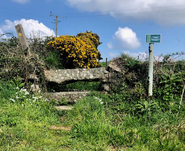
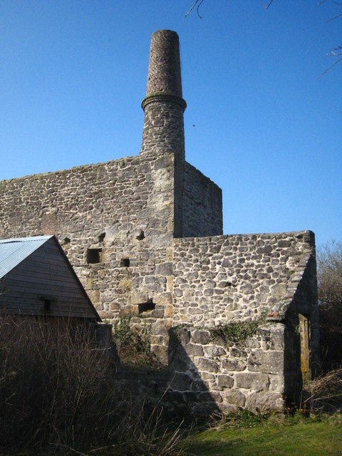
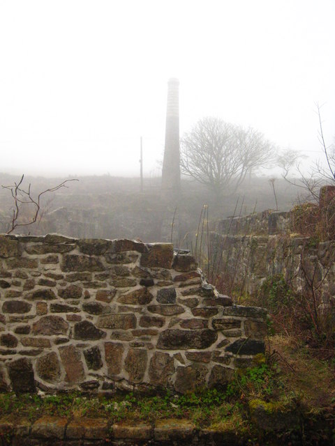
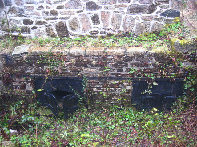
Amalveor Images

Images are sourced within 2km of 50.184727/-5.528041 or Grid Reference SW4837. Thanks to Geograph Open Source API. All images are credited.

Stone Stile SW4637a : On a footpath at the back of the farm, coming from the heathland. The footpath crosses through the farm and continues down a small access drive to the B3306 at Zennor.
Cattle stile beside farm gate.
Public footpath 120/4/1 gold from heathland to Zennor churchtown.
Stone Stile SW4637a
: On a footpath at the back of the farm, coming from the heathland. The footpath crosses through the farm and continues down a small access drive to the B3306 at Zennor. Cattle stile beside farm gate. Public footpath 120/4/1 gold from heathland to Zennor churchtown.
Stone Stile SW4737 In a south-easterly direction, less than half a mile from Zennor Quoit, separating a side turning in the footpath is this granite stile.
Cattle stile with one step each side of central granite bar, with wooden bar above. Note large granite block on east side of stile, which seems to be part of the structure.
Footpath on Access Land from Lady Downs to Zennor Quoit
Stone Stile SW4737
In a south-easterly direction, less than half a mile from Zennor Quoit, separating a side turning in the footpath is this granite stile. Cattle stile with one step each side of central granite bar, with wooden bar above. Note large granite block on east side of stile, which seems to be part of the structure. Footpath on Access Land from Lady Downs to Zennor Quoit
Stone Stile SW4837 It’s sited on the path east side of a small granite clapper bridge across the stream, on the footpath from Beagletodn, after the ponds leading towards the lane to Amalveor.
Coffen stile. It is 10 feet long, with horizontal treads and a suggestion of a pit under them. This stile is in good condition on a well-used path. It is 3 feet wide across the one slightly raised tread and 18” deep. 
Public footpath 119/12/1 silver from Beagletodn to Amalveor
Stone Stile SW4837
It’s sited on the path east side of a small granite clapper bridge across the stream, on the footpath from Beagletodn, after the ponds leading towards the lane to Amalveor. Coffen stile. It is 10 feet long, with horizontal treads and a suggestion of a pit under them. This stile is in good condition on a well-used path. It is 3 feet wide across the one slightly raised tread and 18” deep. Public footpath 119/12/1 silver from Beagletodn to Amalveor
Stone Stile SW4838a Adjacent to Towednack Church at the start of a marked footpath across fields towards Beagletodn.
Good condition, granite coffen stile with a single raised tread 7 feet wide over 5 horizontal treads, covering a length of 7 feet. Height of the single tread is 33”. 
Public footpath 119/11/1 silver from Towednack Church to Beagletodn
Stone Stile SW4838a
Adjacent to Towednack Church at the start of a marked footpath across fields towards Beagletodn. Good condition, granite coffen stile with a single raised tread 7 feet wide over 5 horizontal treads, covering a length of 7 feet. Height of the single tread is 33”. Public footpath 119/11/1 silver from Towednack Church to Beagletodn
Stone Stile SW4838b On a marked footpath across fields towards Beagletodn, after crossing the first field from Towednack Church.
Granite, fairly good condition. 5 feet in width across the top tread, which is 30” high and the whole length is 12 feet. It consists of 3 treads leading up to 2, one above the other and 2 treads on the west side.
Public footpath 119/11/1 silver from Towednack Church to Beagletodn
Stone Stile SW4838b
On a marked footpath across fields towards Beagletodn, after crossing the first field from Towednack Church. Granite, fairly good condition. 5 feet in width across the top tread, which is 30” high and the whole length is 12 feet. It consists of 3 treads leading up to 2, one above the other and 2 treads on the west side. Public footpath 119/11/1 silver from Towednack Church to Beagletodn
Stone Stile SW4838c On a marked footpath across fields towards Beagletodn, after crossing the second field from Towednack Church.
Granite stile, now with some bracken growth and partly disturbed. The highest horizontal tread measures 4 feet across and is 18“high and 8 feet across all treads. Two treads lead up to the top one.
Public footpath 119/11/1 silver from Towednack Church to Beagletodn
Stone Stile SW4838c
On a marked footpath across fields towards Beagletodn, after crossing the second field from Towednack Church. Granite stile, now with some bracken growth and partly disturbed. The highest horizontal tread measures 4 feet across and is 18“high and 8 feet across all treads. Two treads lead up to the top one. Public footpath 119/11/1 silver from Towednack Church to Beagletodn
Stone Stile SW4838d On a marked footpath across fields towards Beagletodn, where the footpath joins Beagletodn cottage.
Granite stile, quite disturbed, 27” across at the top tread, with the wall making up the right side, 8 feet in length across all treads and 27 “high. 
Public footpath 119/11/1 silver from Towednack Church to Beagletodn
Stone Stile SW4838d
On a marked footpath across fields towards Beagletodn, where the footpath joins Beagletodn cottage. Granite stile, quite disturbed, 27” across at the top tread, with the wall making up the right side, 8 feet in length across all treads and 27 “high. Public footpath 119/11/1 silver from Towednack Church to Beagletodn
Stone Stile SW4936 A granite stile on a footpath that runs up the side of The Engine Inn, Cripplesease, from the B3311 road.
Three large granite slabs, one on the ground on each side of a raised central slab – a cattle stile.
Public footpath 119/37/4 silver from Cripplesease to Cold Harbour.
The footpath runs through the site of South Providence mine, suggesting it gave the miners access to the Engine Inn. There is a separate bridleway giving the main access to the mine further along B3311.
Stone Stile SW4936
A granite stile on a footpath that runs up the side of The Engine Inn, Cripplesease, from the B3311 road. Three large granite slabs, one on the ground on each side of a raised central slab – a cattle stile. Public footpath 119/37/4 silver from Cripplesease to Cold Harbour. The footpath runs through the site of South Providence mine, suggesting it gave the miners access to the Engine Inn. There is a separate bridleway giving the main access to the mine further along B3311.
Church of St Towennac (or Tewennochus)
Former Wesleyan Methodist Chapel
Road junction Towednack
The road to Nancledra from Cold Harbour
Stone Stile, Towednack SE of the church, off the road, on Cornwall footpath 119/9/1.
Stone Stile, Towednack
SE of the church, off the road, on Cornwall footpath 119/9/1.
Engine house at Baker's Pit Baker's Pit was a china clay pit, dating from the early C19th. A pumping engine in this building pumped the clay slurry to the dry <a href="https://www.geograph.org.uk/photo/2100445">SW4835 : Remains of china clay works at Baker's Pit</a> about 250 metres distant.
Engine house at Baker's Pit
Baker's Pit was a china clay pit, dating from the early C19th. A pumping engine in this building pumped the clay slurry to the dry SW4835 : Remains of china clay works at Baker's Pit about 250 metres distant.
The pan kiln at Baker's Pit clay dry Looking along the length of the kiln towards the flue. The furnace doors are just below the bottom of the photo <a href="https://www.geograph.org.uk/photo/2340531">SW4835 : Furnace doors at Baker's Pit clay dry</a>. The clay was laid out on the floor of the dry and the heat travelled under the floor from the furnace to the flue, drying the clay in the process.
The pan kiln at Baker's Pit clay dry
Looking along the length of the kiln towards the flue. The furnace doors are just below the bottom of the photo SW4835 : Furnace doors at Baker's Pit clay dry. The clay was laid out on the floor of the dry and the heat travelled under the floor from the furnace to the flue, drying the clay in the process.
Furnace doors at Baker's Pit clay dry The Cornwall Wildlife Trust, which now owns the area, has recently carried out much work to clear vegetation and this has revealed these cast iron doors, which are in remarkably good condition.  For context see <a href="https://www.geograph.org.uk/photo/2340518">SW4835 : The pan kiln at Baker's Pit clay dry</a>.
Furnace doors at Baker's Pit clay dry
The Cornwall Wildlife Trust, which now owns the area, has recently carried out much work to clear vegetation and this has revealed these cast iron doors, which are in remarkably good condition. For context see SW4835 : The pan kiln at Baker's Pit clay dry.
Moorland near Zennor
Moorland scenery near Zennor
Show me another place!

Amalveor is located at Grid Ref: SW4837 (Lat: 50.184727, Lng: -5.528041)

Unitary Authority: Cornwall

Police Authority: Devon and Cornwall

What 3 Words

///photocopy.solar.revival. Near St Ives, Cornwall

Nearby Locations

Amalveor Towednack

Related Wikis

Amalveor

Amalveor (Cornish: Amal Veur, meaning "great Amal"; 'Amal' appears to be the name of a river) is a hamlet in West Penwith, Cornwall, England, United Kingdom...

Towednack

Towednack (Cornish: Tewydnek) is a churchtown and civil parish in Cornwall, England, United Kingdom. The parish is bounded by those of Zennor in the west...

Georgia, Cornwall

Georgia is a hamlet in the parish of Towednack, Cornwall, England. Georgia is situated 3.5 miles (5.6 km) south-west from St Ives, Cornwall. Georgia...

Sperris Quoit

Sperris Quoit is a ruined megalithic burial chamber or dolmen, and one of a type of tomb unique to West Penwith, located on a moor around 365 metres northeast...

Zennor Quoit

Zennor Quoit is a ruined megalithic burial chamber or dolmen, located on a moor about a mile (1.6 km) east of the village of Zennor, Cornwall, England...

Cripplesease

Cripplesease is a hamlet in the civil parishes of Ludgvan and Towednack, Cornwall, UK. The B3311 road from Penzance to St Ives passes through the hamlet...

Nancledra

Nancledra or Nancledrea is a village in west Cornwall, England, UK. It is three miles (5 km) south of St Ives and four miles (6.5 km) north-northeast...

Amalebra

Amalebra (Cornish: Amal a-Bri, meaning from the clay of the river Amal) is a hamlet in Cornwall, England, United Kingdom, 3 miles (4.8 kilometres) south...

Nearby Amenities

Located within 500m of 50.184727,-5.528041
Amalveor
Is In: Cornwall, England, UK
Is In Country: England
Is In Country Code: GB
Is In County: Cornwall
Name En: Amalveor
Name Kw: Amalveur
Place: hamlet
Source: npe
Wikidata: Q4739443
Lat/Long: 50.1836813/-5.5271193
Power: pole
Transformer: distribution
Lat/Long: 50.1879642/-5.5317315
Power: pole
Lat/Long: 50.18816/-5.5295911
Power: pole
Lat/Long: 50.188385/-5.527373
Power: pole
Transformer: distribution
Lat/Long: 50.1886529/-5.5271959
Power: pole
Transformer: distribution
Lat/Long: 50.186143/-5.5215754
Power: pole
Transformer: distribution
Lat/Long: 50.1842873/-5.5273864
Power: pole
Lat/Long: 50.1836647/-5.527385
Power: pole
Lat/Long: 50.1831151/-5.5274481
Power: pole
Transformer: distribution
Lat/Long: 50.1824968/-5.527503
Power: pole
Lat/Long: 50.181699/-5.5267037
Power: pole
Lat/Long: 50.1804383/-5.5266126
Power: pole
Transformer: distribution
Lat/Long: 50.1808762/-5.5259098
Power: pole
Lat/Long: 50.1810489/-5.5251735
Power: pole
Lat/Long: 50.1813924/-5.523819
The data included in this document is from www.openstreetmap.org. The data is made available under ODbL.

Have you been to Amalveor?

Leave your review of Amalveor below (or comments, questions and feedback).