Amalebra

Settlement in Cornwall

England

Amalebra

Stone Stile SW4837 It’s sited on the path east side of a small granite clapper bridge across the stream, on the footpath from Beagletodn, after the ponds leading towards the lane to Amalveor.
Coffen stile. It is 10 feet long, with horizontal treads and a suggestion of a pit under them. This stile is in good condition on a well-used path. It is 3 feet wide across the one slightly raised tread and 18” deep. 
Public footpath 119/12/1 silver from Beagletodn to Amalveor
Stone Stile SW4837 Credit: Sue Partington

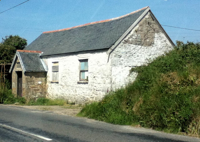
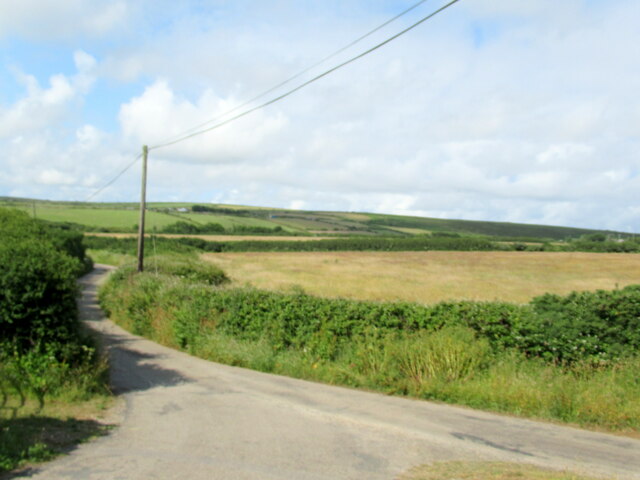
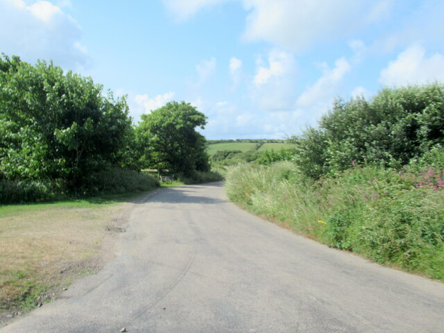
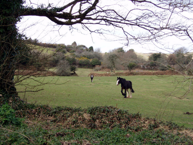
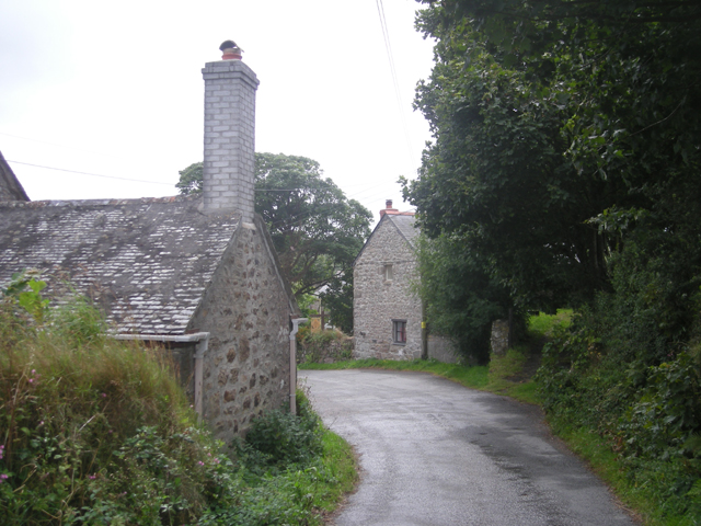
Amalebra is a small village located in the county of Cornwall, in southwestern England. Situated near the town of Redruth, it is nestled amidst the stunning rural landscape of the region. The village is known for its picturesque beauty, with rolling green hills, quaint cottages, and charming narrow lanes.

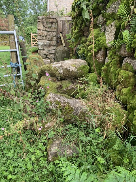
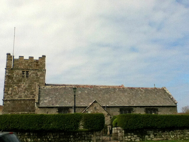
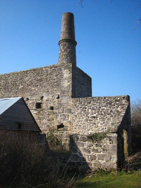
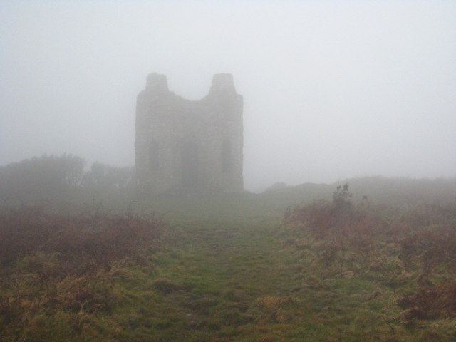
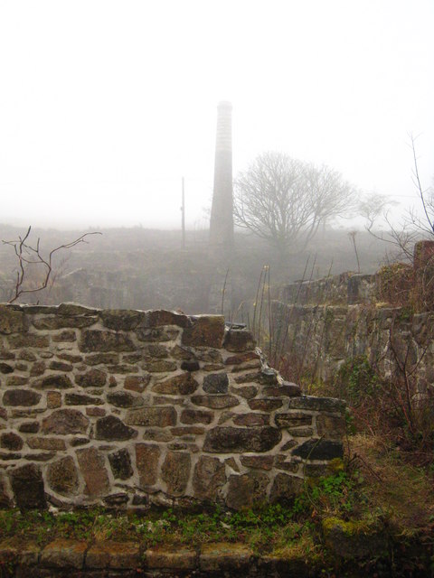
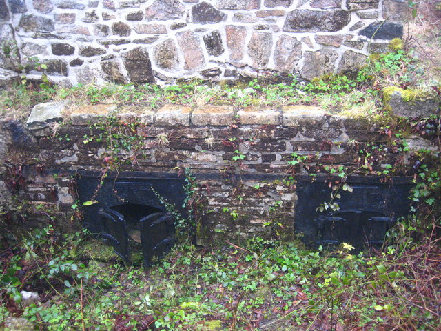
Amalebra boasts a rich history that dates back centuries. It was once a bustling mining community during the height of the tin and copper mining industry in Cornwall. Today, remnants of this industrial past can still be seen in the form of old mine shafts and engine houses scattered across the countryside.

The village is home to a close-knit community, with a population of approximately 500 residents. It has a friendly and welcoming atmosphere, making it an ideal place for those seeking a peaceful and idyllic lifestyle away from the hustle and bustle of larger towns and cities.

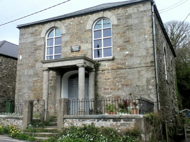
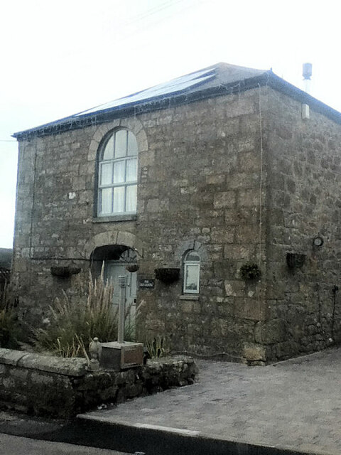
Despite its small size, Amalebra offers a range of amenities and facilities to its residents. These include a local pub, a primary school, a village hall, and a small convenience store, providing basic necessities for the local community.

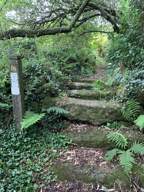
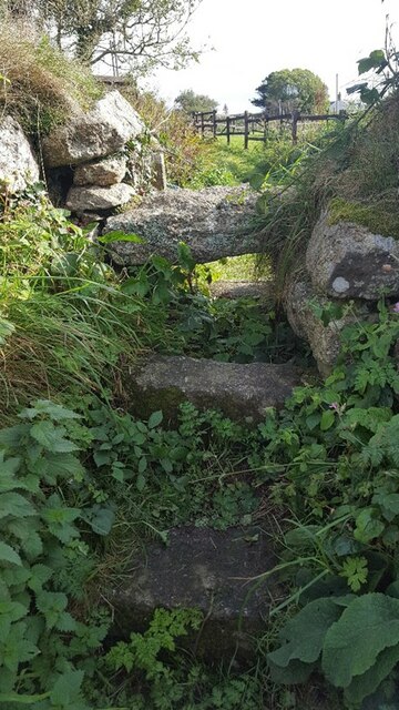
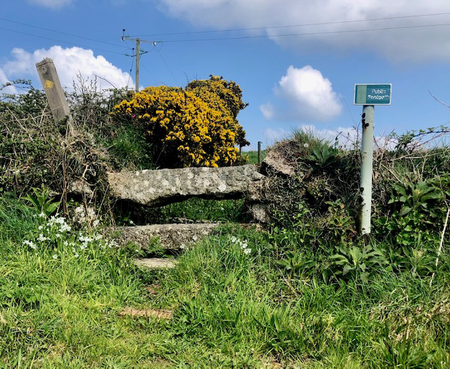
Surrounded by natural beauty, Amalebra is a haven for outdoor enthusiasts. The village is located close to several nature reserves and country parks, offering opportunities for hiking, cycling, and wildlife spotting.

In summary, Amalebra is a charming village in Cornwall, steeped in history and natural beauty. With its tranquil setting and strong sense of community, it offers a peaceful retreat for those seeking a slower pace of life.

If you have any feedback on the listing, please let us know in the comments section below.

Amalebra Images

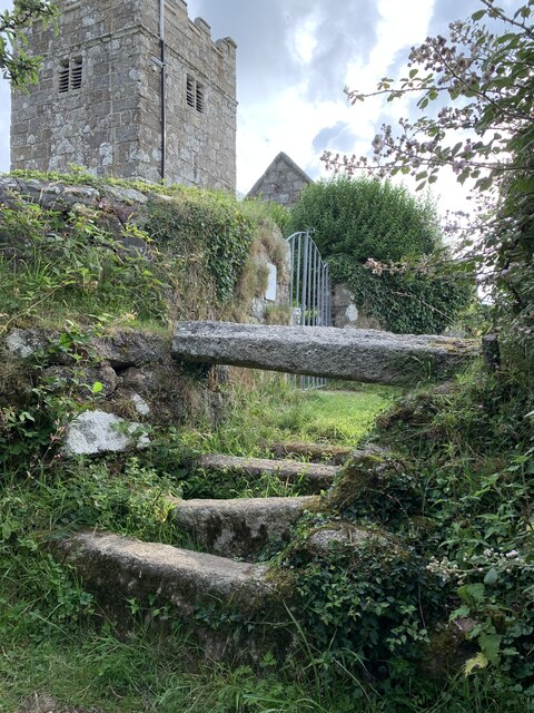
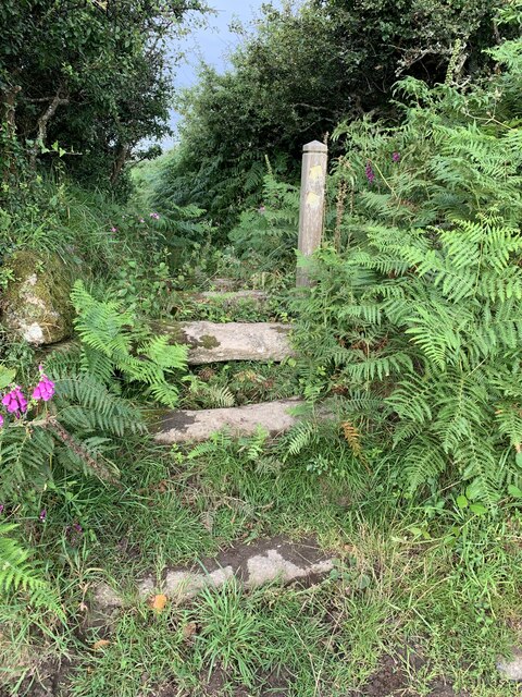
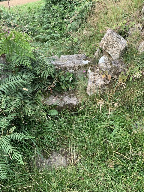
Images are sourced within 2km of 50.174464/-5.510474 or Grid Reference SW4936. Thanks to Geograph Open Source API. All images are credited.

Stone Stile SW4837 It’s sited on the path east side of a small granite clapper bridge across the stream, on the footpath from Beagletodn, after the ponds leading towards the lane to Amalveor.
Coffen stile. It is 10 feet long, with horizontal treads and a suggestion of a pit under them. This stile is in good condition on a well-used path. It is 3 feet wide across the one slightly raised tread and 18” deep. 
Public footpath 119/12/1 silver from Beagletodn to Amalveor
Stone Stile SW4837
It’s sited on the path east side of a small granite clapper bridge across the stream, on the footpath from Beagletodn, after the ponds leading towards the lane to Amalveor. Coffen stile. It is 10 feet long, with horizontal treads and a suggestion of a pit under them. This stile is in good condition on a well-used path. It is 3 feet wide across the one slightly raised tread and 18” deep. Public footpath 119/12/1 silver from Beagletodn to Amalveor
Stone Stile SW4838a Adjacent to Towednack Church at the start of a marked footpath across fields towards Beagletodn.
Good condition, granite coffen stile with a single raised tread 7 feet wide over 5 horizontal treads, covering a length of 7 feet. Height of the single tread is 33”. 
Public footpath 119/11/1 silver from Towednack Church to Beagletodn
Stone Stile SW4838a
Adjacent to Towednack Church at the start of a marked footpath across fields towards Beagletodn. Good condition, granite coffen stile with a single raised tread 7 feet wide over 5 horizontal treads, covering a length of 7 feet. Height of the single tread is 33”. Public footpath 119/11/1 silver from Towednack Church to Beagletodn
Stone Stile SW4838b On a marked footpath across fields towards Beagletodn, after crossing the first field from Towednack Church.
Granite, fairly good condition. 5 feet in width across the top tread, which is 30” high and the whole length is 12 feet. It consists of 3 treads leading up to 2, one above the other and 2 treads on the west side.
Public footpath 119/11/1 silver from Towednack Church to Beagletodn
Stone Stile SW4838b
On a marked footpath across fields towards Beagletodn, after crossing the first field from Towednack Church. Granite, fairly good condition. 5 feet in width across the top tread, which is 30” high and the whole length is 12 feet. It consists of 3 treads leading up to 2, one above the other and 2 treads on the west side. Public footpath 119/11/1 silver from Towednack Church to Beagletodn
Stone Stile SW4838c On a marked footpath across fields towards Beagletodn, after crossing the second field from Towednack Church.
Granite stile, now with some bracken growth and partly disturbed. The highest horizontal tread measures 4 feet across and is 18“high and 8 feet across all treads. Two treads lead up to the top one.
Public footpath 119/11/1 silver from Towednack Church to Beagletodn
Stone Stile SW4838c
On a marked footpath across fields towards Beagletodn, after crossing the second field from Towednack Church. Granite stile, now with some bracken growth and partly disturbed. The highest horizontal tread measures 4 feet across and is 18“high and 8 feet across all treads. Two treads lead up to the top one. Public footpath 119/11/1 silver from Towednack Church to Beagletodn
Stone Stile SW4838d On a marked footpath across fields towards Beagletodn, where the footpath joins Beagletodn cottage.
Granite stile, quite disturbed, 27” across at the top tread, with the wall making up the right side, 8 feet in length across all treads and 27 “high. 
Public footpath 119/11/1 silver from Towednack Church to Beagletodn
Stone Stile SW4838d
On a marked footpath across fields towards Beagletodn, where the footpath joins Beagletodn cottage. Granite stile, quite disturbed, 27” across at the top tread, with the wall making up the right side, 8 feet in length across all treads and 27 “high. Public footpath 119/11/1 silver from Towednack Church to Beagletodn
Stone Stile SW4936 A granite stile on a footpath that runs up the side of The Engine Inn, Cripplesease, from the B3311 road.
Three large granite slabs, one on the ground on each side of a raised central slab – a cattle stile.
Public footpath 119/37/4 silver from Cripplesease to Cold Harbour.
The footpath runs through the site of South Providence mine, suggesting it gave the miners access to the Engine Inn. There is a separate bridleway giving the main access to the mine further along B3311.
Stone Stile SW4936
A granite stile on a footpath that runs up the side of The Engine Inn, Cripplesease, from the B3311 road. Three large granite slabs, one on the ground on each side of a raised central slab – a cattle stile. Public footpath 119/37/4 silver from Cripplesease to Cold Harbour. The footpath runs through the site of South Providence mine, suggesting it gave the miners access to the Engine Inn. There is a separate bridleway giving the main access to the mine further along B3311.
Wesleyan chapel
Wesleyan chapel
Former Primitive Chapel
Church of St Towennac (or Tewennochus)
Former Wesleyan Methodist Chapel
Road junction Towednack
The road to Nancledra from Cold Harbour
Stone Stile, Towednack SE of the church, off the road, on Cornwall footpath 119/9/1.
Stone Stile, Towednack
SE of the church, off the road, on Cornwall footpath 119/9/1.
Engine house at Baker's Pit Baker's Pit was a china clay pit, dating from the early C19th. A pumping engine in this building pumped the clay slurry to the dry <a href="https://www.geograph.org.uk/photo/2100445">SW4835 : Remains of china clay works at Baker's Pit</a> about 250 metres distant.
Engine house at Baker's Pit
Baker's Pit was a china clay pit, dating from the early C19th. A pumping engine in this building pumped the clay slurry to the dry SW4835 : Remains of china clay works at Baker's Pit about 250 metres distant.
Footpath through boggy ground near Baker's Pit Part of the Cornwall Wildlife Trust Baker's Pit Nature reserve based on the site of old clay workings.
Footpath through boggy ground near Baker's Pit
Part of the Cornwall Wildlife Trust Baker's Pit Nature reserve based on the site of old clay workings.
Rogers' Tower in the mist A day of 'Cornish wet' at Castle-an-Dinas - what a difference from <a href="https://www.geograph.org.uk/photo/2100462">SW4834 : The southern approach to Rogers Tower</a>!
Rogers' Tower in the mist
A day of 'Cornish wet' at Castle-an-Dinas - what a difference from SW4834 : The southern approach to Rogers Tower!
The pan kiln at Baker's Pit clay dry Looking along the length of the kiln towards the flue. The furnace doors are just below the bottom of the photo <a href="https://www.geograph.org.uk/photo/2340531">SW4835 : Furnace doors at Baker's Pit clay dry</a>. The clay was laid out on the floor of the dry and the heat travelled under the floor from the furnace to the flue, drying the clay in the process.
The pan kiln at Baker's Pit clay dry
Looking along the length of the kiln towards the flue. The furnace doors are just below the bottom of the photo SW4835 : Furnace doors at Baker's Pit clay dry. The clay was laid out on the floor of the dry and the heat travelled under the floor from the furnace to the flue, drying the clay in the process.
Furnace doors at Baker's Pit clay dry The Cornwall Wildlife Trust, which now owns the area, has recently carried out much work to clear vegetation and this has revealed these cast iron doors, which are in remarkably good condition.  For context see <a href="https://www.geograph.org.uk/photo/2340518">SW4835 : The pan kiln at Baker's Pit clay dry</a>.
Furnace doors at Baker's Pit clay dry
The Cornwall Wildlife Trust, which now owns the area, has recently carried out much work to clear vegetation and this has revealed these cast iron doors, which are in remarkably good condition. For context see SW4835 : The pan kiln at Baker's Pit clay dry.
Show me another place!

Amalebra is located at Grid Ref: SW4936 (Lat: 50.174464, Lng: -5.510474)

Unitary Authority: Cornwall

Police Authority: Devon and Cornwall

What 3 Words

///noble.diplomas.steamed. Near St Ives, Cornwall

Nearby Locations

Amalebra Nancledra

Related Wikis

Nancledra

Nancledra or Nancledrea is a village in west Cornwall, England, UK. It is three miles (5 km) south of St Ives and four miles (6.5 km) north-northeast...

Amalebra

Amalebra (Cornish: Amal a-Bri, meaning from the clay of the river Amal) is a hamlet in Cornwall, England, United Kingdom, 3 miles (4.8 kilometres) south...

Cripplesease

Cripplesease is a hamlet in the civil parishes of Ludgvan and Towednack, Cornwall, UK. The B3311 road from Penzance to St Ives passes through the hamlet...

Brunnion

Brunnion is a hamlet between Trencrom and Nancledra in west Cornwall, England, UK. It is in the civil parish of Ludgvan == References ==

Georgia, Cornwall

Georgia is a hamlet in the parish of Towednack, Cornwall, England. Georgia is situated 3.5 miles (5.6 km) south-west from St Ives, Cornwall. Georgia...

Trink Hill

Trink Hill is a 212-metre-high hill that lies between the hamlets of Trink and Cripplesease, near to the village of Nancledra, Cornwall, UK. Trencrom Hill...

Amalveor

Amalveor (Cornish: Amal Veur, meaning "great Amal"; 'Amal' appears to be the name of a river) is a hamlet in West Penwith, Cornwall, England, United Kingdom...

Baker's Pit Nature Reserve

Baker's Pit Nature Reserve is a nature reserve in the parish of Ludgvan, west Cornwall managed by the Cornwall Wildlife Trust (CWT). The reserve is on...

Nearby Amenities

Located within 500m of 50.174464,-5.510474
Nancledra
Is In: Cornwall, England, UK
Is In Country: England
Is In Country Code: GB
Is In County: Cornwall
Name Kw: Nanskledri
Place: hamlet
Postal Code: TR20 8
Source: npe
Wikidata: Q777174
Lat/Long: 50.1707399/-5.5078009
Amalebrea
Is In: Cornwall, England, UK
Name Kw: Amallebri
Place: hamlet
Source: NPE
Wikidata: Q4739324
Lat/Long: 50.1747814/-5.5102915
Bus Stop
Opp Post Office
Naptan AtcoCode: 0800COD40389
Naptan Bearing: N
Naptan CommonName: Opp Post Office
Naptan NaptanCode: coragapt
Naptan Street: B3311
Naptan Verified: no
Source: naptan_import
Lat/Long: 50.1714133/-5.5082747
Bus Stop
Post Office
Naptan AtcoCode: 0800COD40390
Naptan Bearing: S
Naptan CommonName: Post Office
Naptan NaptanCode: coragata
Naptan Street: B3311
Naptan Verified: no
Source: naptan_import
Lat/Long: 50.1712333/-5.5079814
Post Box
Collection Times: Mo-Fr 16:00; Sa 09:15
Operator: Royal Mail
Post Box Type: lamp
Ref: TR20 72
Royal Cypher: EIIR
Royal Cypher Wikidata: Q33102113
Source: survey
Survey Date: 2018-11-01
Lat/Long: 50.1710646/-5.5077557
Power: pole
Lat/Long: 50.1776385/-5.5151179
Power: pole
Lat/Long: 50.1767143/-5.5157805
Power: pole
Lat/Long: 50.174927/-5.5099104
Power: pole
Lat/Long: 50.1758537/-5.5094048
Power: pole
Lat/Long: 50.1768672/-5.5087504
Power: pole
Lat/Long: 50.1775955/-5.5082797
Power: pole
Lat/Long: 50.1783625/-5.5077888
Power: pole
Transformer: distribution
Lat/Long: 50.1759302/-5.5070472
Power: pole
Lat/Long: 50.175925/-5.5062479
Power: pole
Lat/Long: 50.1759104/-5.5053306
Power: pole
Lat/Long: 50.1764326/-5.5043435
Power: pole
Lat/Long: 50.1758219/-5.5040874
Power: pole
Lat/Long: 50.1755394/-5.50374
Power: pole
Lat/Long: 50.1747629/-5.5099989
Power: pole
Lat/Long: 50.1740603/-5.5103919
Location Transition: yes
Power: pole
Lat/Long: 50.1731902/-5.5108854
Power: pole
Lat/Long: 50.1725692/-5.5112328
Power: pole
Lat/Long: 50.1718786/-5.5116203
Location Transition: yes
Power: pole
Lat/Long: 50.171091/-5.5117799
Power: pole
Lat/Long: 50.1702998/-5.5119476
Location Transition: yes
Power: pole
Transformer: distribution
Lat/Long: 50.1714689/-5.508458
Power: pole
Transformer: distribution
Lat/Long: 50.1773473/-5.5129252
Power: pole
Lat/Long: 50.1769282/-5.5124331
Power: pole
Lat/Long: 50.1763759/-5.5118054
Power: pole
Lat/Long: 50.1756845/-5.5110303
Power: pole
Lat/Long: 50.1750773/-5.5103624
Location Transition: yes
Power: pole
Transformer: distribution
Lat/Long: 50.1708187/-5.5109954
Power: pole
Lat/Long: 50.1722686/-5.5165476
Power: pole
Lat/Long: 50.1721312/-5.514788
Power: pole
Transformer: distribution
Lat/Long: 50.1719473/-5.5129293
Power: pole
Lat/Long: 50.1759448/-5.5163156
Defibrillator
Access: yes
Booth: K6
Covered: booth
Defibrillator Location: inside old red phone box, Chypons Estate, Nancledra
Disused Amenity: telephone
Emergency: defibrillator
Man Made: telephone_box
Lat/Long: 50.1710795/-5.5077706
The data included in this document is from www.openstreetmap.org. The data is made available under ODbL.

Have you been to Amalebra?

Leave your review of Amalebra below (or comments, questions and feedback).