Earlside Covert

Wood, Forest in Roxburghshire

Scotland

Earlside Covert

Ordnance Survey Flush Bracket G2363 This can be found on the wall of the School House - a private dwelling - at Cogsmill.
For more detail see : <span class="nowrap"><a title="http://www.bench-marks.org.uk/bm14459" rel="nofollow ugc noopener" href="http://www.bench-marks.org.uk/bm14459">Link</a><img style="margin-left:2px;" alt="External link" title="External link - shift click to open in new window" src="https://s1.geograph.org.uk/img/external.png" width="10" height="10"/></span>
Ordnance Survey Flush Bracket G2363 Credit: Peter Wood

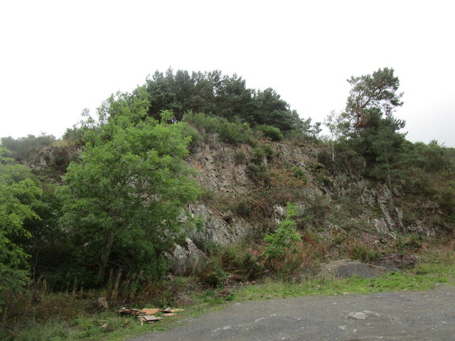
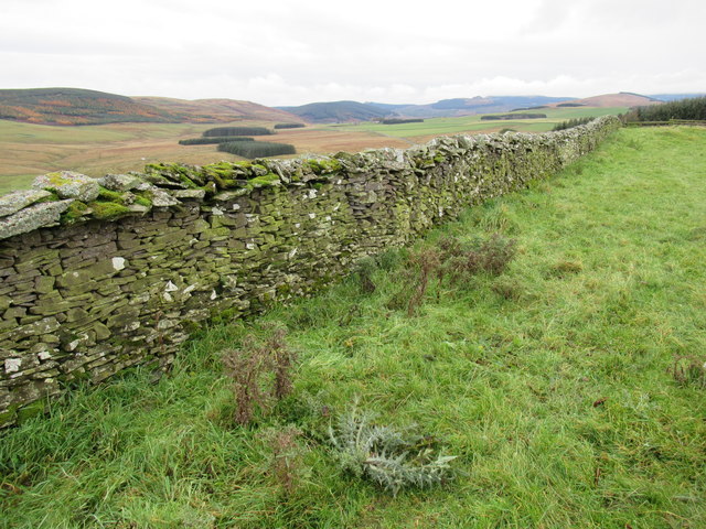
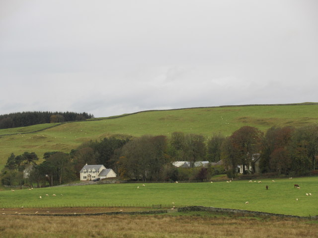
Earlside Covert is a charming wood located in the picturesque region of Roxburghshire, Scotland. Situated amidst the lush green landscape, it serves as a haven for nature enthusiasts and those seeking tranquility. Spanning over a considerable area, Earlside Covert encompasses a diverse range of flora and fauna, making it an ideal destination for exploring the natural beauty of the region.

The wood is primarily composed of native tree species, including oak, birch, and pine, which create a dense canopy overhead, providing a sheltered environment for a variety of wildlife. The forest floor is adorned with a vibrant carpet of wildflowers, ferns, and mosses, adding to the visual spectacle.

Earlside Covert offers numerous walking trails, allowing visitors to immerse themselves in the tranquil ambiance and admire the breathtaking scenery. As one traverses the paths, they may encounter an array of wildlife, such as red squirrels, deer, and various bird species. The wood is also home to a diverse range of insects, contributing to the delicate balance of the ecosystem.

For those interested in birdwatching, Earlside Covert provides an excellent opportunity to spot a wide variety of avian species, including woodpeckers, owls, and songbirds. The melodious chirping and occasional hooting of the birds create a soothing atmosphere, further enhancing the experience.

Earlside Covert is a popular destination for nature lovers, hikers, and photographers seeking to capture the beauty of the Scottish countryside. Its serene environment and abundant wildlife make it a true gem in the heart of Roxburghshire, offering a peaceful retreat from the hustle and bustle of everyday life.

If you have any feedback on the listing, please let us know in the comments section below.

Earlside Covert Images

Images are sourced within 2km of 55.374827/-2.7491032 or Grid Reference NT5209. Thanks to Geograph Open Source API. All images are credited.

Ordnance Survey Flush Bracket G2363 This can be found on the wall of the School House - a private dwelling - at Cogsmill.
For more detail see : <span class="nowrap"><a title="http://www.bench-marks.org.uk/bm14459" rel="nofollow ugc noopener" href="http://www.bench-marks.org.uk/bm14459">Link</a><img style="margin-left:2px;" alt="External link" title="External link - shift click to open in new window" src="https://s1.geograph.org.uk/img/external.png" width="10" height="10"/></span>
Ordnance Survey Flush Bracket G2363
This can be found on the wall of the School House - a private dwelling - at Cogsmill. For more detail see : LinkExternal link
View east off the B6399
View north-east off the B6399
Valley of the Cogsmill Burn The Cogsmill Burn is a tributary of the Slitrig Water which in turn is a tributary of the River Teviot in Hawick.
Valley of the Cogsmill Burn
The Cogsmill Burn is a tributary of the Slitrig Water which in turn is a tributary of the River Teviot in Hawick.
South Berryfell Farm from the air South Berryfell Farm is in the centre of the photo.
South Berryfell Farm from the air
South Berryfell Farm is in the centre of the photo.
Cogsmill Hall, Whitlawhaugh, near Hawick The colour scheme has changed since this 2007 photo <a href="https://www.geograph.org.uk/photo/549765">NT5108 : Cogsmill Hall, Whitlawhaugh, Hawick</a>.
Cogsmill Hall, Whitlawhaugh, near Hawick
The colour scheme has changed since this 2007 photo NT5108 : Cogsmill Hall, Whitlawhaugh, Hawick.
Meadowland at Cogsmill, from the B6399
Plantation near South Berryfell Farm
View towards Earlside Covert on White Hill
Old quarry face near Cogsmill Bridge
Road crossing Cogsmill Burn
View towards Adderston Shiels Adderston Shiels is hidden by the trees in the centre of the picture.
View towards Adderston Shiels
Adderston Shiels is hidden by the trees in the centre of the picture.
The flanks of Haits Hill
South Berryfell Farm Largely hidden by trees.
South Berryfell Farm
Largely hidden by trees.
Drystane dyke atop White Hill near Hawick Rare stane for wa' biggin'!
Drystane dyke atop White Hill near Hawick
Rare stane for wa' biggin'!
White Hill above Earlside near Hawick
Strange 'pimply' appearance of White Hill slopes above Earlside near Hawick
Rocky pit above Earlside near Hawick Whether a pit for dyking stone or a natural feature I have no idea.
Rocky pit above Earlside near Hawick
Whether a pit for dyking stone or a natural feature I have no idea.
Show me another place!

Earlside Covert is located at Grid Ref: NT5209 (Lat: 55.374827, Lng: -2.7491032)

Unitary Authority: The Scottish Borders

Police Authority: The Lothians and Scottish Borders

What 3 Words

///perch.runner.track. Near Hawick, Scottish Borders

Nearby Locations

White Hill Earlside Covert

Related Wikis

Stobs railway station

Stobs railway station served the hamlet of Barnes, Scottish Borders, Scotland from 1862 to 1969 on the Border Union Railway. == History == The station...

Stobs Military Camp

Stobs Camp is a military and internment camp located just outside Hawick in the Scottish Borders. It is an internationally important site due to its level...

Shankend

Shankend Manor was a sixteenth-century mansion located some six miles (ten kilometres) south of Hawick, close to Whitrope Siding in Scotland. It was constructed...

Shankend railway station

Shankend railway station served the hamlet of Shankend, Scottish Borders, Scotland from 1862 to 1969 on the Border Union Railway. == History == The station...

Nearby Amenities

Located within 500m of 55.374827,-2.7491032
White Hill
Ele: 299
Natural: peak
Lat/Long: 55.3769845/-2.7461065
Power: pole
Lat/Long: 55.3703337/-2.7490469
Power: pole
Lat/Long: 55.3706658/-2.7475843
Power: pole
Lat/Long: 55.3710404/-2.7459878
Power: pole
Lat/Long: 55.371415/-2.7443759
The data included in this document is from www.openstreetmap.org. The data is made available under ODbL.

Have you been to Earlside Covert?

Leave your review of Earlside Covert below (or comments, questions and feedback).