Dean Wood
Wood, Forest in East Lothian
Scotland
Dean Wood
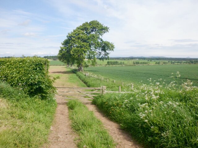
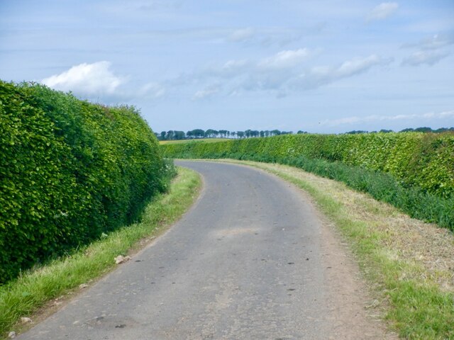
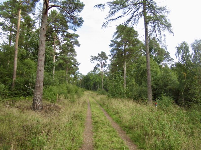
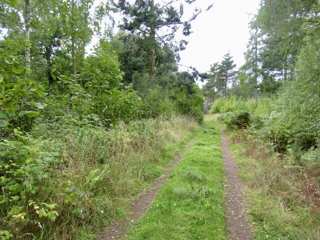
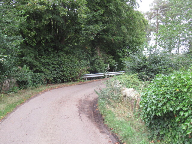
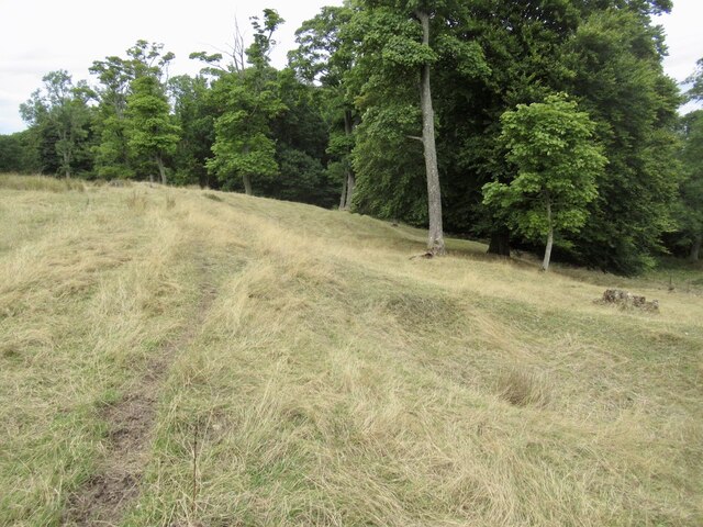
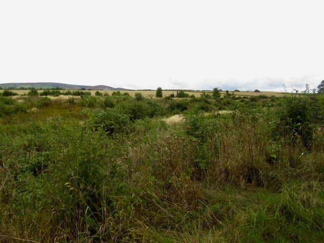
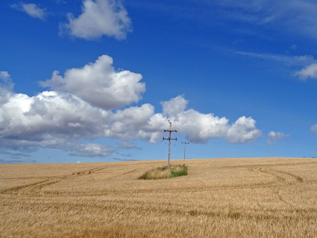
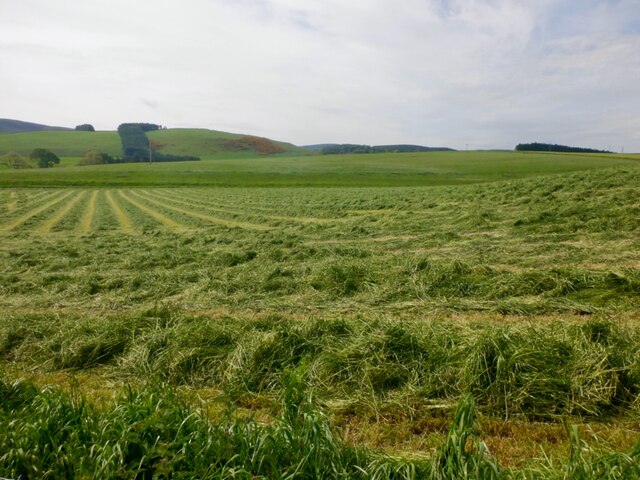
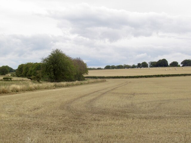
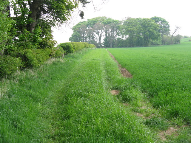
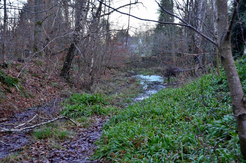
Dean Wood is a picturesque forest located in East Lothian, Scotland. Spanning over a vast area, it is a popular destination for nature lovers and outdoor enthusiasts. The woodland is situated near the village of East Linton, just a short drive from the coastal town of Dunbar.
The forest boasts a diverse range of flora and fauna, making it an ideal habitat for several species of wildlife. Visitors can expect to see a variety of birds, including woodpeckers, owls, and various songbirds. The forest floor is adorned with an array of wildflowers during the spring and summer months, creating a vibrant and colorful landscape.
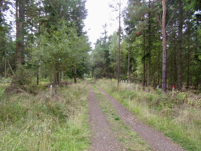
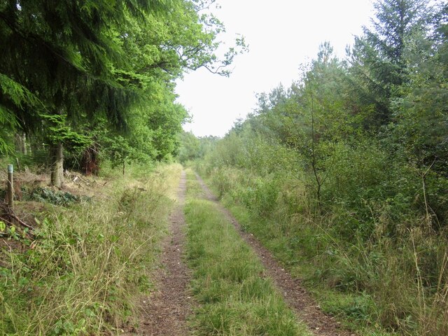
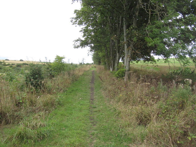
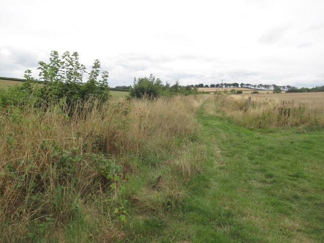
Dean Wood offers a network of well-maintained trails, providing ample opportunities for hiking and walking. These paths wind through the forest, allowing visitors to explore its natural beauty at their own pace. The terrain is generally gentle, making it accessible for people of all fitness levels.
The forest is also home to a number of ancient trees, some of which are believed to be over 200 years old. These majestic giants provide a sense of history and tranquility to the area, offering shade and shelter to both visitors and wildlife alike.
In addition to its natural wonders, Dean Wood features a small picnic area where visitors can relax and enjoy a meal amidst the serene surroundings. The forest is also a great spot for photography enthusiasts, with countless opportunities to capture stunning shots of the landscape and its inhabitants.
Overall, Dean Wood is a must-visit destination for those seeking a peaceful retreat in the heart of East Lothian. Its natural beauty, diverse wildlife, and tranquil atmosphere make it a truly enchanting place to explore and appreciate nature.
If you have any feedback on the listing, please let us know in the comments section below.
Dean Wood Images
Images are sourced within 2km of 55.885722/-2.7770775 or Grid Reference NT5166. Thanks to Geograph Open Source API. All images are credited.


Dean Wood is located at Grid Ref: NT5166 (Lat: 55.885722, Lng: -2.7770775)
Unitary Authority: East Lothian
Police Authority: The Lothians and Scottish Borders
What 3 Words
///fortified.official.crystal. Near Pencaitland, East Lothian
Nearby Locations
Related Wikis
Gifford railway station
Gifford railway station served the village of Gifford, East Lothian, Scotland, from 1901 to 1933 on the Macmerry Branch. == History == The station was...

Gifford Town Hall
Gifford Town Hall is a municipal building in The Square, Gifford, East Lothian, Scotland. The structure, which is used as a community events venue, is...

Gifford, East Lothian
Gifford is a village in the parish of Yester in East Lothian, Scotland. It lies approximately 4 miles (6.4 km) south of Haddington and 25 miles (40 km...

Yester Parish Church
Yester Parish Church is a church of the Church of Scotland in the village of Gifford, East Lothian, Scotland. The village forms part of Yester, Bolton...

Yester House
Yester House is an early 18th-century mansion near Gifford in East Lothian, Scotland. It was the home of the Hay family, later Marquesses of Tweeddale...

Yester Chapel
Yester Chapel is situated on the estate of Yester House, at the south-east edge of the village of Gifford in East Lothian, Scotland. The chapel is situated...

Humbie railway station
Humbie railway station served the civil parish of Humbie, East Lothian, Scotland, from 1901 to 1933 on the Macmerry Branch. == History == The station was...

East Lothian
East Lothian (; Scots: East Lowden; Scottish Gaelic: Lodainn an Ear) is one of the 32 council areas of Scotland, as well as a historic county, registration...
Nearby Amenities
Located within 500m of 55.885722,-2.7770775Have you been to Dean Wood?
Leave your review of Dean Wood below (or comments, questions and feedback).