Bankhead Wood
Wood, Forest in East Lothian
Scotland
Bankhead Wood
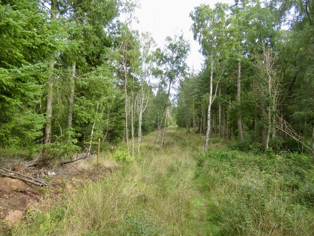
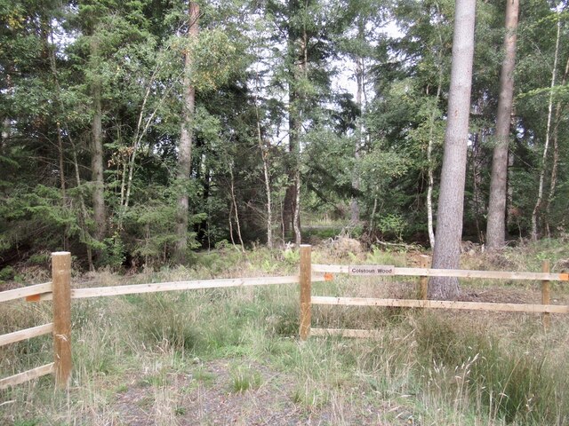
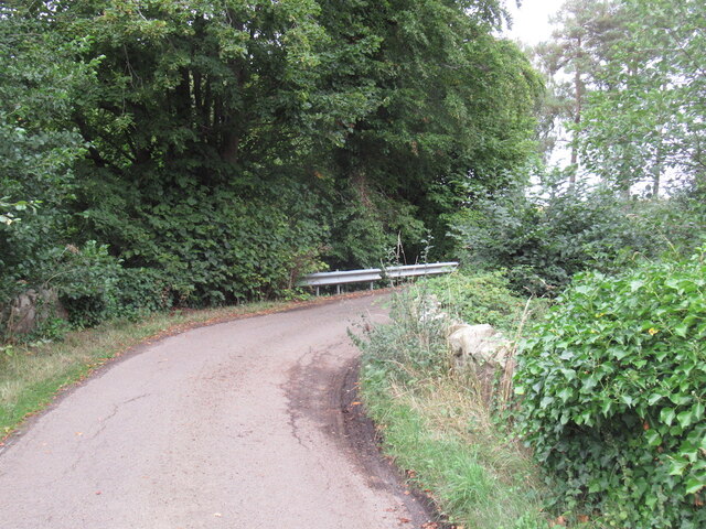
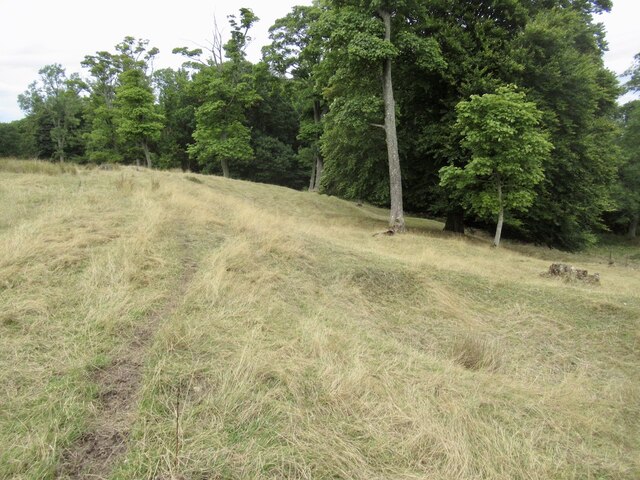
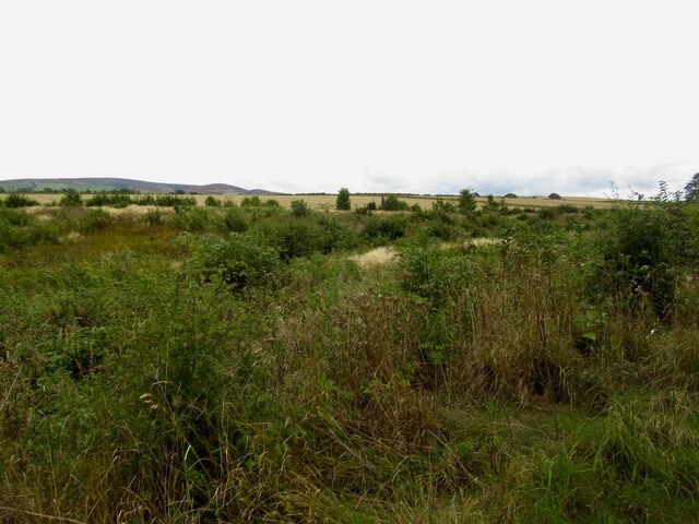
Bankhead Wood is a picturesque forest located in East Lothian, Scotland. Covering an area of approximately 100 acres, it is a popular destination for nature enthusiasts and outdoor lovers. The wood is situated near the village of Humbie, about 15 miles east of Edinburgh.
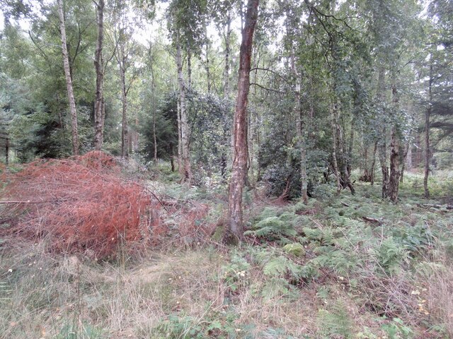
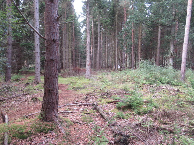
The wood is predominantly composed of deciduous trees, including oak, beech, and birch, which create a vibrant and diverse landscape. It is an important habitat for various wildlife species, such as red squirrels, roe deer, and a wide variety of bird species.
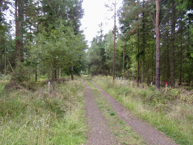
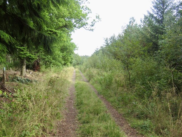
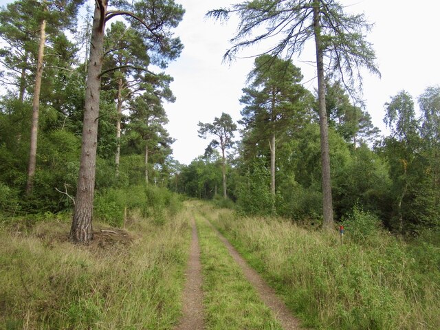
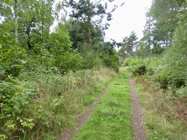
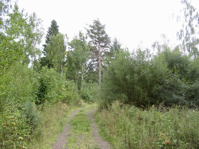
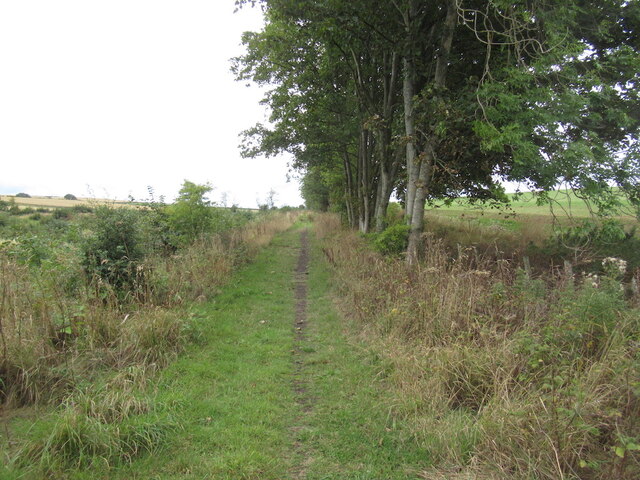
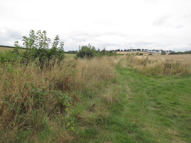
Bankhead Wood offers a network of well-maintained trails that wind through the forest, providing visitors with the opportunity to explore its beauty and tranquility. The trails are suitable for walkers of all abilities, with options for shorter strolls or more challenging hikes.
One of the highlights of Bankhead Wood is the presence of a beautiful pond surrounded by trees, which serves as a haven for waterfowl and other aquatic creatures. This spot is particularly popular for birdwatching, as it attracts a range of species throughout the year.
The wood is managed by the local council and is open to the public year-round, free of charge. There are designated picnic areas and benches scattered throughout the wood, allowing visitors to relax and enjoy the peaceful surroundings.
Overall, Bankhead Wood is a hidden gem in East Lothian, offering a peaceful escape from the hustle and bustle of daily life. With its diverse flora and fauna, well-maintained trails, and serene atmosphere, it is a must-visit destination for nature lovers and those seeking a tranquil outdoor experience.
If you have any feedback on the listing, please let us know in the comments section below.
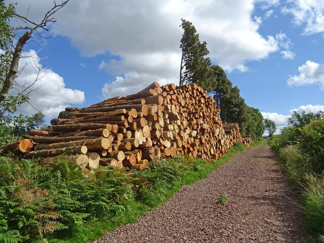
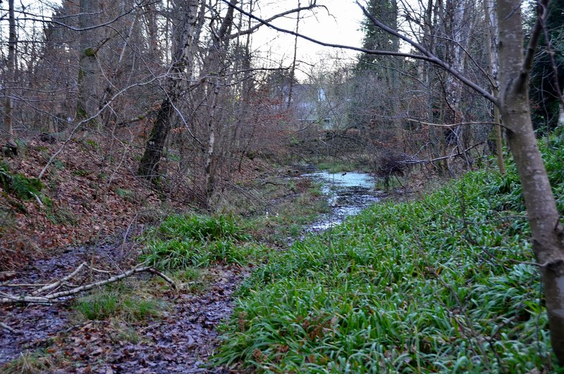
Bankhead Wood Images
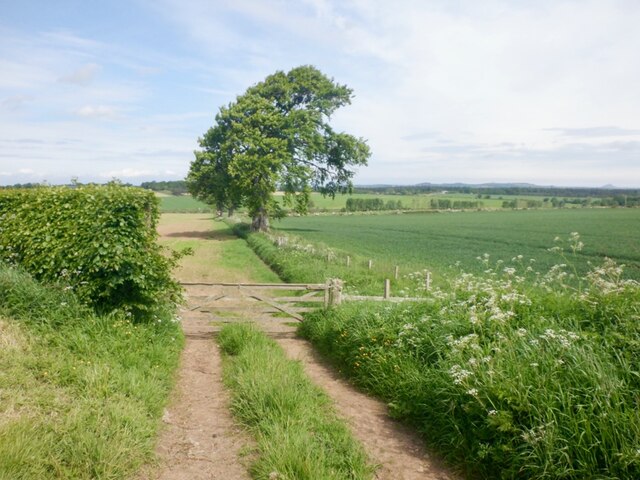
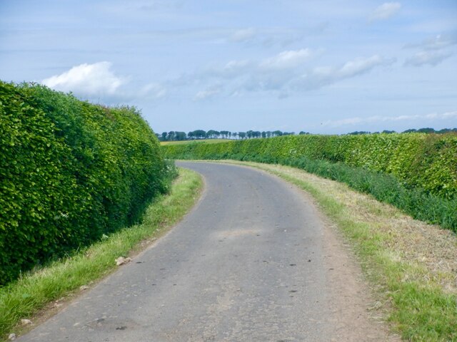
Images are sourced within 2km of 55.888907/-2.7791237 or Grid Reference NT5166. Thanks to Geograph Open Source API. All images are credited.

Bankhead Wood is located at Grid Ref: NT5166 (Lat: 55.888907, Lng: -2.7791237)
Unitary Authority: East Lothian
Police Authority: The Lothians and Scottish Borders
What 3 Words
///scripted.scrum.doormat. Near Haddington, East Lothian
Nearby Locations
Related Wikis
Gifford railway station
Gifford railway station served the village of Gifford, East Lothian, Scotland, from 1901 to 1933 on the Macmerry Branch. == History == The station was...

Gifford Town Hall
Gifford Town Hall is a municipal building in The Square, Gifford, East Lothian, Scotland. The structure, which is used as a community events venue, is...

Gifford, East Lothian
Gifford is a village in the parish of Yester in East Lothian, Scotland. It lies approximately 4 miles (6.4 km) south of Haddington and 25 miles (40 km...

Yester Parish Church
Yester Parish Church is a church of the Church of Scotland in the village of Gifford, East Lothian, Scotland. The village forms part of Yester, Bolton...
Nearby Amenities
Located within 500m of 55.888907,-2.7791237Have you been to Bankhead Wood?
Leave your review of Bankhead Wood below (or comments, questions and feedback).