Windsor Woods

Wood, Forest in Angus

Scotland

Windsor Woods

Farmland at Vayne Farm
Farmland at Vayne Farm Credit: Douglas Nelson

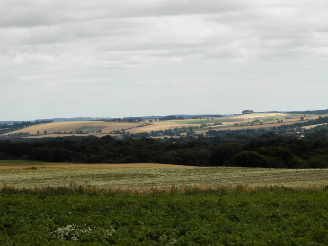
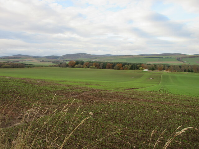
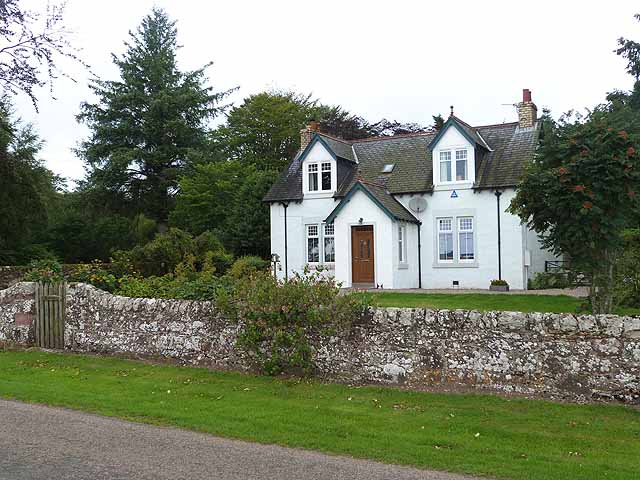
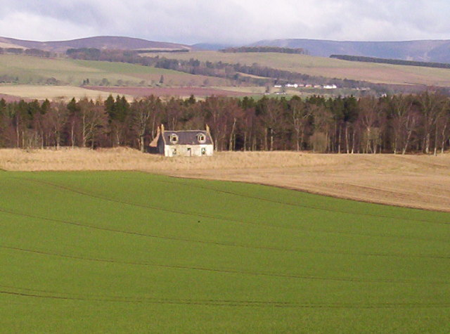
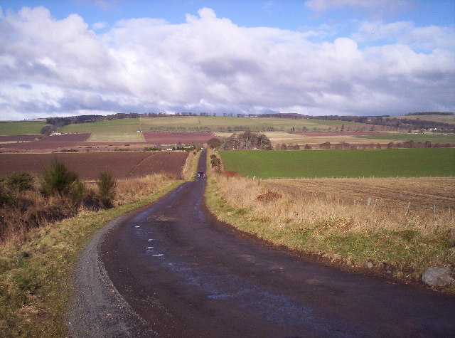
Windsor Woods, located in Angus, Scotland, is a picturesque forest renowned for its natural beauty and tranquil atmosphere. Covering an area of approximately 100 hectares, the woodland is predominantly composed of native broadleaf trees, including oak, birch, and beech, creating a diverse and vibrant ecosystem.

The woodland is intersected by a meandering river, which further enhances its scenic charm and provides a habitat for various aquatic species. The river also offers visitors the opportunity to engage in recreational activities such as fishing or simply enjoy a peaceful stroll along its banks.

Windsor Woods is home to a rich array of flora and fauna, making it a popular destination for nature enthusiasts and wildlife lovers. Within the forest, one can spot a variety of bird species such as woodpeckers, owls, and songbirds, as well as small mammals like squirrels, rabbits, and foxes. The woodland floor is adorned with a carpet of wildflowers during the spring and summer months, adding bursts of color to the already enchanting surroundings.

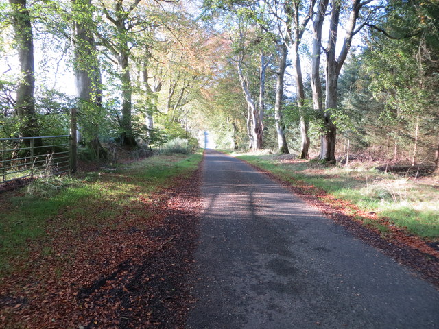
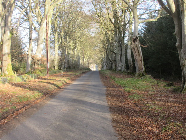
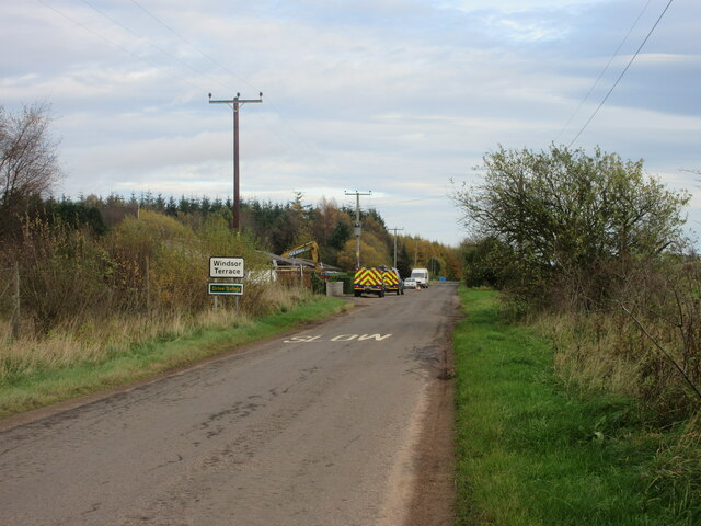
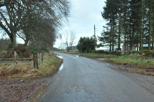
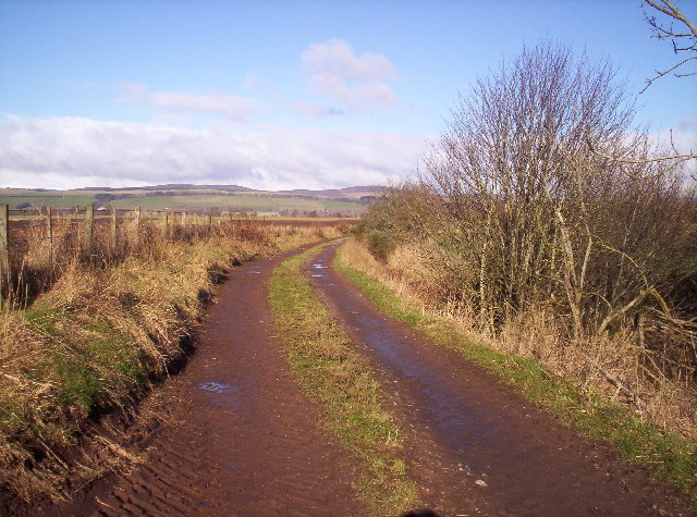
For those seeking outdoor adventures, Windsor Woods offers numerous walking trails and paths, allowing visitors to explore the forest's hidden treasures. The paths are well-maintained and suitable for all ages and levels of fitness, making it an ideal location for a leisurely stroll or a more challenging hike.

Overall, Windsor Woods in Angus is a natural gem that offers a tranquil escape from the hustle and bustle of everyday life. With its diverse wildlife, serene river, and captivating scenery, it is a place that captivates the senses and provides a truly enchanting experience for all who visit.

If you have any feedback on the listing, please let us know in the comments section below.

Windsor Woods Images

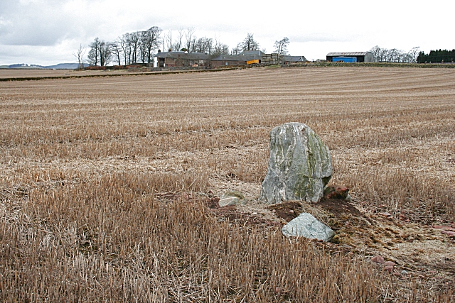
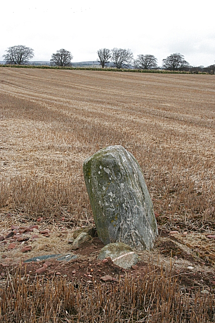
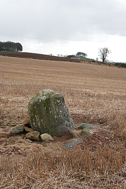
Images are sourced within 2km of 56.738711/-2.797345 or Grid Reference NO5161. Thanks to Geograph Open Source API. All images are credited.

Farmland at Vayne Farm
Minor road between Vayne Moor and Roughmount Woods Looking north-westward.
Minor road between Vayne Moor and Roughmount Woods
Looking north-westward.
Road to Fern The road heading to Fern from Careston through Vayne Moor Wood.
Road to Fern
The road heading to Fern from Careston through Vayne Moor Wood.
Careston Parish Kirk Careston Kirk viewed from the car parking area to the north-west.
Careston Parish Kirk
Careston Kirk viewed from the car parking area to the north-west.
Careston Kirk from the churchyard Careston Kirk viewed from the churchyard to the south-east.
Careston Kirk from the churchyard
Careston Kirk viewed from the churchyard to the south-east.
Field near the Law of Windsor Looking north-westwards over a newly sown field north of the Law of Windsor.
Field near the Law of Windsor
Looking north-westwards over a newly sown field north of the Law of Windsor.
C31 (Angus) Road at Windsor Terrace The C31 road heading eastwards approaching Windsor Terrace.
C31 (Angus) Road at Windsor Terrace
The C31 road heading eastwards approaching Windsor Terrace.
Road past Vayne
Road past Vayne
Roughmount Farm
Roughmount Farm
Standing Stone at Vayne Farm This stone looks like gneiss, which does not outcrop in the immediate vicinity, so it may have been brought here by the prehistoric people who erected it, or it may be a glacial erratic which they made use of. The farm buildings of Vayne are beyond.
Standing Stone at Vayne Farm
This stone looks like gneiss, which does not outcrop in the immediate vicinity, so it may have been brought here by the prehistoric people who erected it, or it may be a glacial erratic which they made use of. The farm buildings of Vayne are beyond.
Standing Stone at Vayne Farm The Ordnance Survey maps show this as a standing stone, but the Royal Commission on the Ancient and Historic Monuments of Scotland <span class="nowrap"><a title="http://www.rcahms.gov.uk" rel="nofollow ugc noopener" href="http://www.rcahms.gov.uk">Link</a><img style="margin-left:2px;" alt="External link" title="External link - shift click to open in new window" src="https://s1.geograph.org.uk/img/external.png" width="10" height="10"/></span> marks it as the remains of a stone circle.
Standing Stone at Vayne Farm
The Ordnance Survey maps show this as a standing stone, but the Royal Commission on the Ancient and Historic Monuments of Scotland LinkExternal link marks it as the remains of a stone circle.
Standing Stone at Vayne Farm The white spots on the stone are patches of lichen. In the distance is the farm of Hilton of Fern, with a clump of trees beyond which are marked on the map as a motte.
Standing Stone at Vayne Farm
The white spots on the stone are patches of lichen. In the distance is the farm of Hilton of Fern, with a clump of trees beyond which are marked on the map as a motte.
Tropical Ferns, Anderson Shelter and Copse At Windsor Terrace
Tropical Ferns, Anderson Shelter and Copse
At Windsor Terrace
Stacks of Potential Fields and Woodland at Windsor
Stacks of Potential
Fields and Woodland at Windsor
Track to North Wood Hill of Menmuir in the distance
Track to North Wood
Hill of Menmuir in the distance
Field and saplings near Duns Wood
Ploughed Field and Woodland
Road to Milton of Balhall Hill of Menmuir in the distance.
Road to Milton of Balhall
Hill of Menmuir in the distance.
Show me another place!

Windsor Woods is located at Grid Ref: NO5161 (Lat: 56.738711, Lng: -2.797345)

Unitary Authority: Angus

Police Authority: Tayside

What 3 Words

///hush.farm.bagpipes. Near Brechin, Angus

Nearby Locations

Windsor Woods Weiris Wood

Related Wikis

Careston

Careston is a hamlet in Angus, Scotland, that is in the parish of the same name, 5 miles west of Brechin. The parish and hamlet supposedly took their name...

Careston railway station

Careston railway station served the hamlet of Careston, Angus, Scotland, from 1895 to 1964 on the Forfar and Brechin Railway. == History == The station...

Careston Castle

Careston Castle, also known as Caraldston Castle, is an L-plan tower house dating from the 16th century, on a 1,528-acre estate, in Careston parish, Angus...

Tannadice railway station

Tannadice railway station served the village of Tannadice, Angus, Scotland, from 1895 to 1952 on the Forfar and Brechin Railway. == History == The station...

Nearby Amenities

Located within 500m of 56.738711,-2.797345
Windsor
Place: locality
Lat/Long: 56.7367896/-2.7981208
The data included in this document is from www.openstreetmap.org. The data is made available under ODbL.

Have you been to Windsor Woods?

Leave your review of Windsor Woods below (or comments, questions and feedback).