Weiris Wood

Wood, Forest in Angus

Scotland

Weiris Wood

Farmland at Vayne Farm
Farmland at Vayne Farm Credit: Douglas Nelson

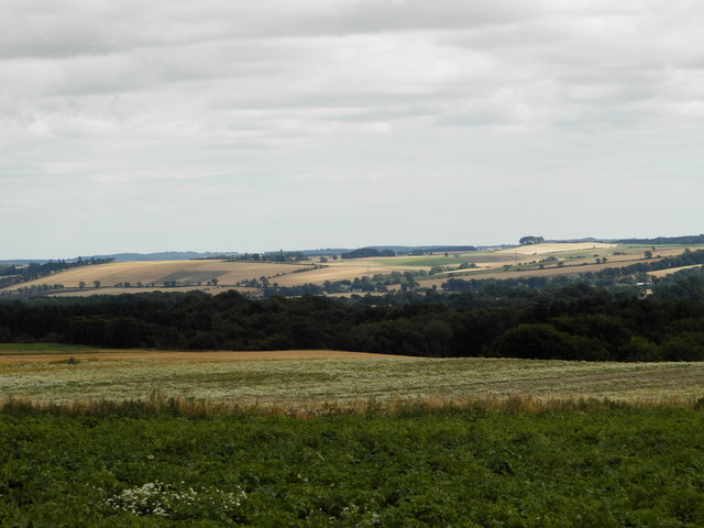
Weiris Wood, also known as Angus Wood or Angus Forest, is a vast woodland located in the county of Angus, Scotland. Covering an area of approximately 1,500 hectares, Weiris Wood is one of the largest forests in the region.

The woodland is characterized by a rich diversity of flora and fauna, making it an important ecological site. It is home to a variety of tree species, including oak, birch, beech, and pine. These trees provide a habitat for numerous wildlife species, such as red squirrels, roe deer, and various bird species, including woodpeckers and owls.

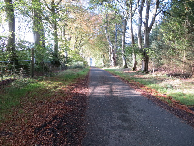
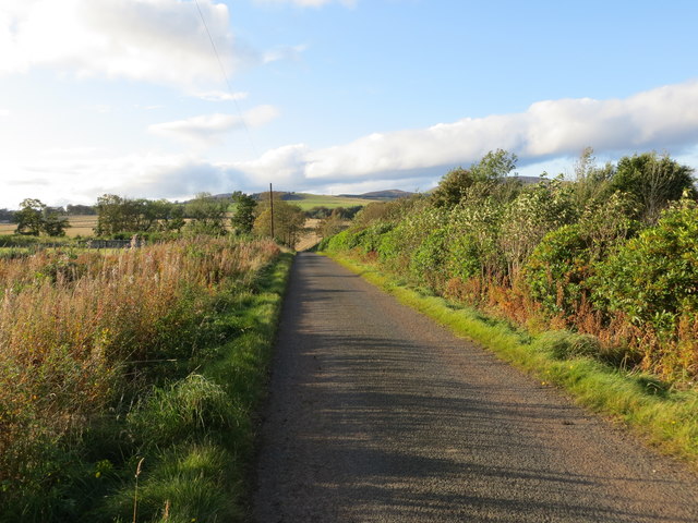
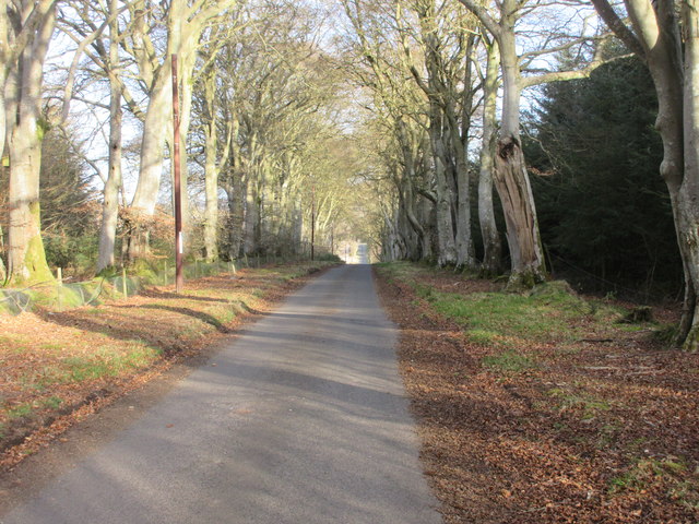
The forest offers a range of recreational activities for visitors. There are several well-maintained walking trails that allow visitors to explore the woodland at their own pace. These trails offer breathtaking views of the surrounding landscape and provide an opportunity to spot wildlife along the way. Additionally, there are designated picnic areas and camping sites for those wishing to extend their stay.

Weiris Wood has a long history and has been an important resource for the local community for centuries. It was traditionally used for timber production, providing wood for construction and fuel. However, in recent years, the focus has shifted towards conservation and sustainable management of the woodland.

Overall, Weiris Wood is a valuable natural asset in Angus, offering both recreational opportunities and ecological benefits. Its diverse ecosystem and picturesque landscapes make it a popular destination for nature lovers and outdoor enthusiasts alike.

If you have any feedback on the listing, please let us know in the comments section below.
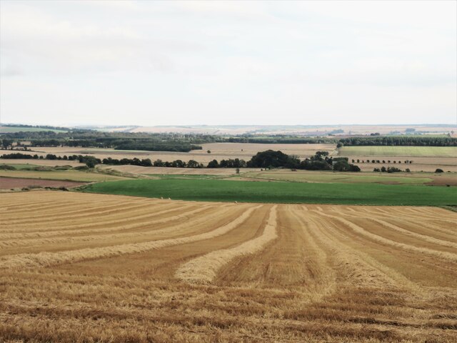
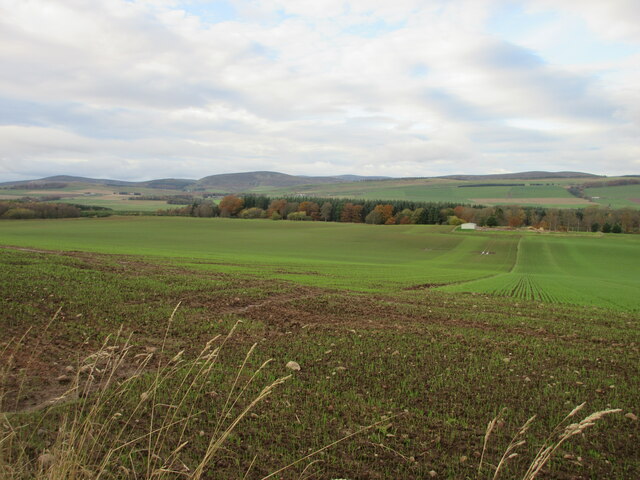
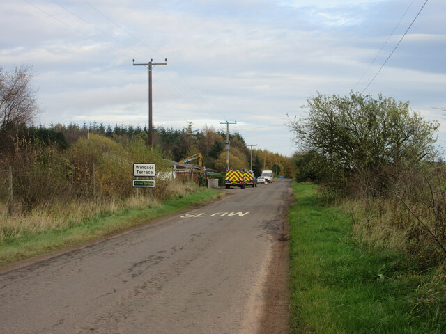
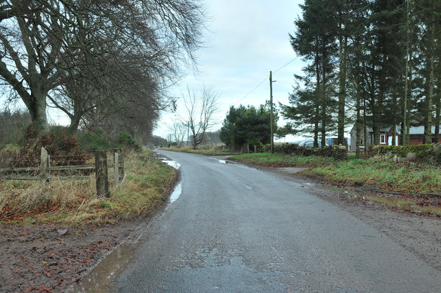
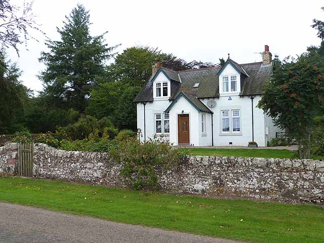
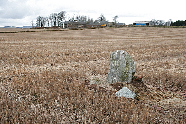
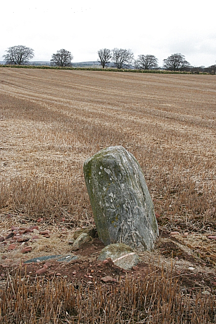
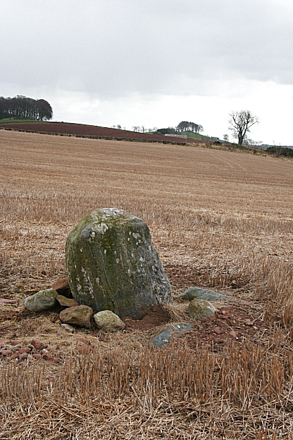
Weiris Wood Images

Images are sourced within 2km of 56.742608/-2.8005502 or Grid Reference NO5161. Thanks to Geograph Open Source API. All images are credited.

Farmland at Vayne Farm
Minor road between Vayne Moor and Roughmount Woods Looking north-westward.
Minor road between Vayne Moor and Roughmount Woods
Looking north-westward.
Minor road beside Redford Wood Looking north-westward in the direction of Fern.
Minor road beside Redford Wood
Looking north-westward in the direction of Fern.
Road to Fern The road heading to Fern from Careston through Vayne Moor Wood.
Road to Fern
The road heading to Fern from Careston through Vayne Moor Wood.
Arable land near Bogton of Balhall Looking south from the minor road across arable land at the edge of the wide and fertile Strathmore.
Arable land near Bogton of Balhall
Looking south from the minor road across arable land at the edge of the wide and fertile Strathmore.
Field near the Law of Windsor Looking north-westwards over a newly sown field north of the Law of Windsor.
Field near the Law of Windsor
Looking north-westwards over a newly sown field north of the Law of Windsor.
C31 (Angus) Road at Windsor Terrace The C31 road heading eastwards approaching Windsor Terrace.
C31 (Angus) Road at Windsor Terrace
The C31 road heading eastwards approaching Windsor Terrace.
Road past Vayne
Road past Vayne
Roughmount Farm
Roughmount Farm
Bullocks on hillside near Shandford Farm
End of Harvest The last load of wheat being emptied from the combines. Straw is already getting baled for coming winter. Note the cloud pattern. This is lenticular or wave clouds which signal to sailplane pilots areas of high lift. They are formed by the wind flowing over hills and form 90 degrees to the prevailling wind direction.
End of Harvest
The last load of wheat being emptied from the combines. Straw is already getting baled for coming winter. Note the cloud pattern. This is lenticular or wave clouds which signal to sailplane pilots areas of high lift. They are formed by the wind flowing over hills and form 90 degrees to the prevailling wind direction.
Standing Stone at Vayne Farm This stone looks like gneiss, which does not outcrop in the immediate vicinity, so it may have been brought here by the prehistoric people who erected it, or it may be a glacial erratic which they made use of. The farm buildings of Vayne are beyond.
Standing Stone at Vayne Farm
This stone looks like gneiss, which does not outcrop in the immediate vicinity, so it may have been brought here by the prehistoric people who erected it, or it may be a glacial erratic which they made use of. The farm buildings of Vayne are beyond.
Standing Stone at Vayne Farm The Ordnance Survey maps show this as a standing stone, but the Royal Commission on the Ancient and Historic Monuments of Scotland <span class="nowrap"><a title="http://www.rcahms.gov.uk" rel="nofollow ugc noopener" href="http://www.rcahms.gov.uk">Link</a><img style="margin-left:2px;" alt="External link" title="External link - shift click to open in new window" src="https://s1.geograph.org.uk/img/external.png" width="10" height="10"/></span> marks it as the remains of a stone circle.
Standing Stone at Vayne Farm
The Ordnance Survey maps show this as a standing stone, but the Royal Commission on the Ancient and Historic Monuments of Scotland LinkExternal link marks it as the remains of a stone circle.
Standing Stone at Vayne Farm The white spots on the stone are patches of lichen. In the distance is the farm of Hilton of Fern, with a clump of trees beyond which are marked on the map as a motte.
Standing Stone at Vayne Farm
The white spots on the stone are patches of lichen. In the distance is the farm of Hilton of Fern, with a clump of trees beyond which are marked on the map as a motte.
Sheep Eating Turnips near Balmadity Picture taken from Fern / Balhall Road. The feeding is regulated by an electric fence.
Sheep Eating Turnips near Balmadity
Picture taken from Fern / Balhall Road. The feeding is regulated by an electric fence.
A Wintry Scene on the road to Balmadity
Tropical Ferns, Anderson Shelter and Copse At Windsor Terrace
Tropical Ferns, Anderson Shelter and Copse
At Windsor Terrace
Show me another place!

Weiris Wood is located at Grid Ref: NO5161 (Lat: 56.742608, Lng: -2.8005502)

Unitary Authority: Angus

Police Authority: Tayside

What 3 Words

///expired.crouches.skims. Near Brechin, Angus

Nearby Locations

Windsor Woods Weiris Wood

Related Wikis

Careston

Careston is a hamlet in Angus, Scotland, that is in the parish of the same name, 5 miles west of Brechin. The parish and hamlet supposedly took their name...

Careston railway station

Careston railway station served the hamlet of Careston, Angus, Scotland, from 1895 to 1964 on the Forfar and Brechin Railway. == History == The station...

Careston Castle

Careston Castle, also known as Caraldston Castle, is an L-plan tower house dating from the 16th century, on a 1,528-acre estate, in Careston parish, Angus...

Menmuir

Menmuir is a parish in the county of Angus in Scotland. Kirkton of Menmuir consists of only three houses (the Old Schoolhouse, the Manse, the Old Inn)...

Have you been to Weiris Wood?

Leave your review of Weiris Wood below (or comments, questions and feedback).