Easterpark Plantation

Wood, Forest in Roxburghshire

Scotland

Easterpark Plantation

Woodland on Allanshaws near Lauder in the Scottish Borders
Woodland on Allanshaws near Lauder in the Scottish Borders Credit: ian shiell

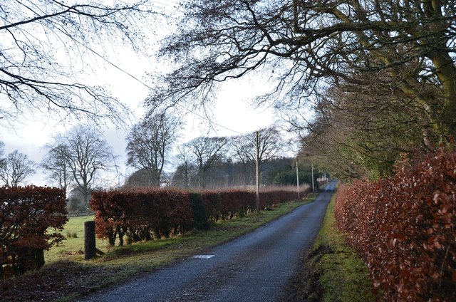
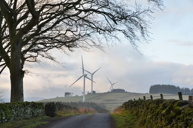
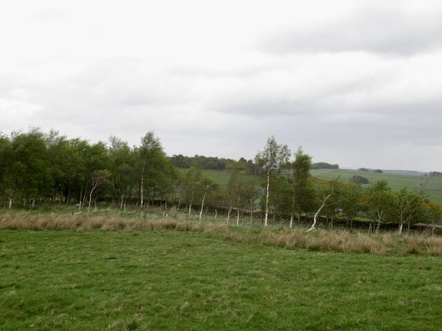
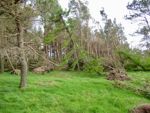
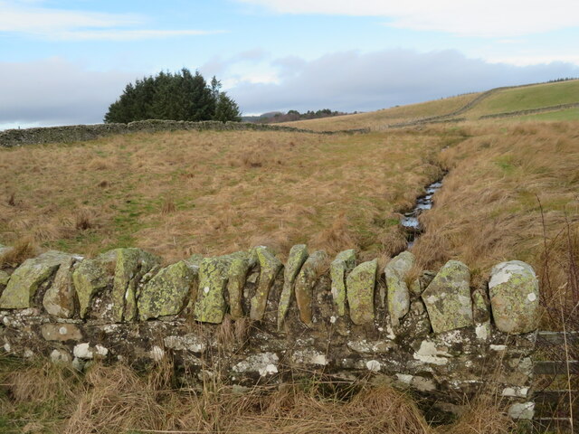
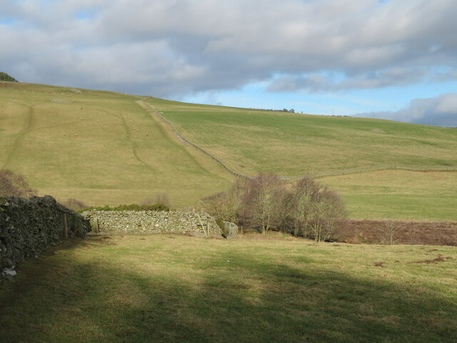
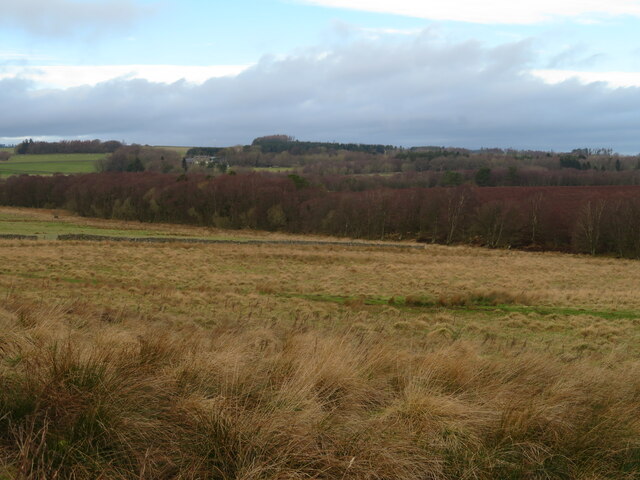
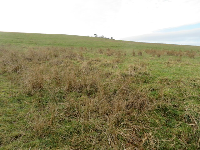
Easterpark Plantation is a picturesque woodland located in Roxburghshire, Scotland. Covering an area of approximately 500 acres, it is a haven for nature enthusiasts and outdoor adventurers alike.

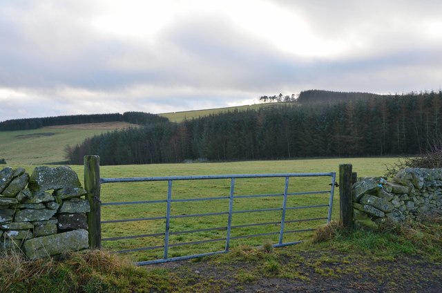
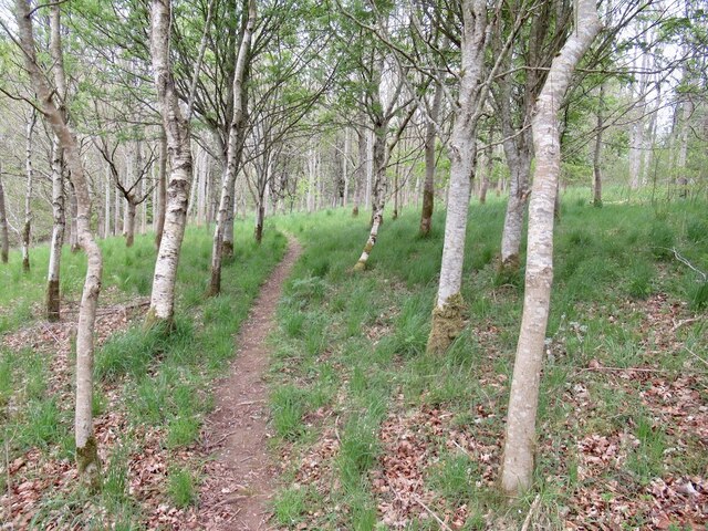
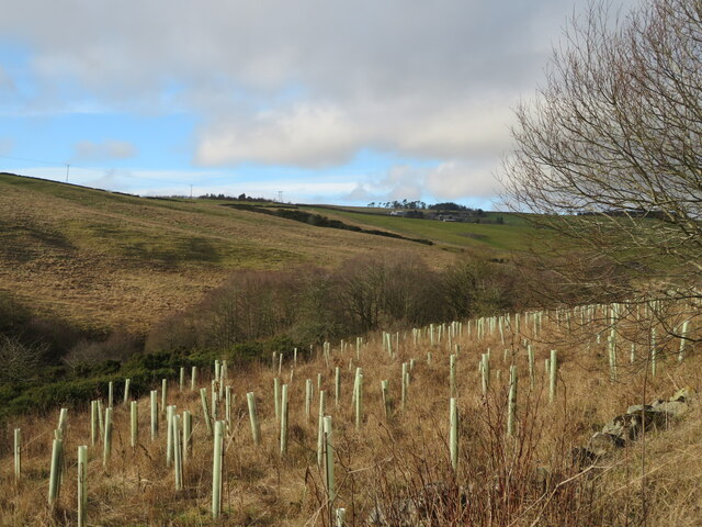
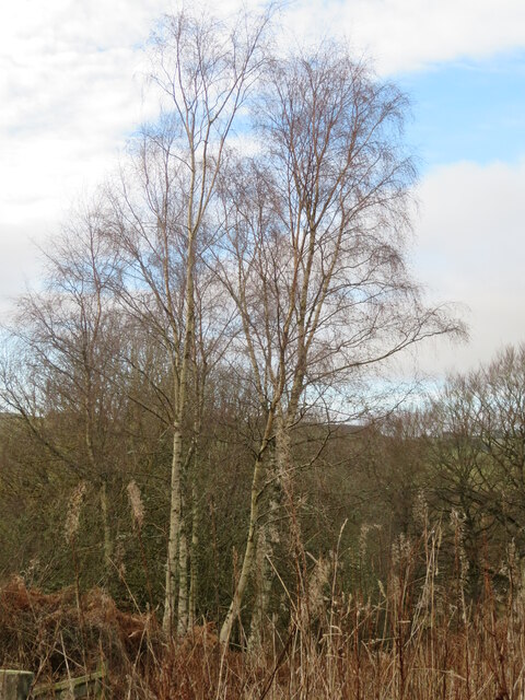
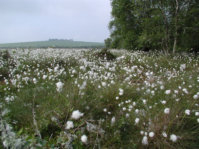
The plantation primarily consists of mixed woodland, comprising a variety of tree species including oak, birch, beech, and pine. This diverse range of trees creates a rich and vibrant habitat for a wide array of flora and fauna. In spring, the woodland bursts into a riot of color as bluebells and wildflowers carpet the forest floor.

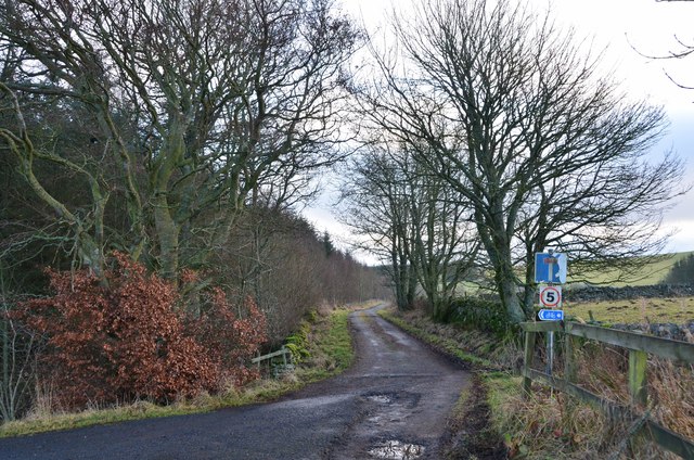
The plantation offers a network of well-maintained walking trails, allowing visitors to explore its enchanting beauty at their own pace. These trails cater to both leisurely strolls and more challenging hikes, accommodating different fitness levels and interests.

For birdwatchers, Easterpark Plantation is a paradise. The woodland is home to various bird species such as woodpeckers, owls, and thrushes, providing ample opportunities to spot these feathered creatures in their natural habitat. Deer and other small mammals can also be spotted in the quieter corners of the woodland, adding to the secluded and peaceful atmosphere.

Easterpark Plantation is managed by a local conservation trust, ensuring the protection and preservation of its natural resources. The trust also organizes educational programs and events to raise awareness about the importance of sustainable forestry and wildlife conservation.

Overall, Easterpark Plantation is a hidden gem in Roxburghshire, offering visitors a chance to immerse themselves in the beauty of nature and experience the tranquility of a Scottish woodland.

If you have any feedback on the listing, please let us know in the comments section below.

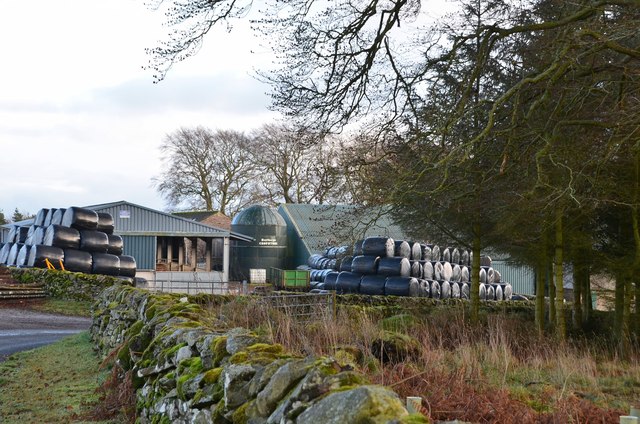
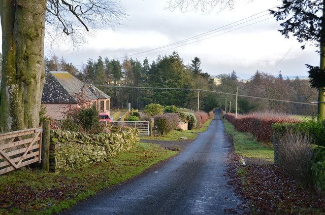
Easterpark Plantation Images

Images are sourced within 2km of 55.669041/-2.7882614 or Grid Reference NT5042. Thanks to Geograph Open Source API. All images are credited.

Woodland on Allanshaws near Lauder in the Scottish Borders
Road to Stow, Wooplaw The minor road through farmland bordering Longpark windfarm.
Road to Stow, Wooplaw
The minor road through farmland bordering Longpark windfarm.
Crest of the road at Wooplaw The road to Stow reaches 316m by the farm, here giving a view to the southernmost row of turbines in the Longpark wind farm.
Crest of the road at Wooplaw
The road to Stow reaches 316m by the farm, here giving a view to the southernmost row of turbines in the Longpark wind farm.
Farmland and plantations near Wooplaw Fields to the south of the minor road to Stow.
Farmland and plantations near Wooplaw
Fields to the south of the minor road to Stow.
Track to Hawksnest and Ladhopemuir The track passes Hawksnest farm and crosses farmland SSE to meet a minor road at Ladhopemuir north of Galashiels.
Track to Hawksnest and Ladhopemuir
The track passes Hawksnest farm and crosses farmland SSE to meet a minor road at Ladhopemuir north of Galashiels.
Wooplaw farm The name comes from the Norse 'uplaw' meaning a shallow valley at the top of a hill (from the information board at the Community Woodland). It is certainly on top of a hill as the land here is around 310m.
Wooplaw farm
The name comes from the Norse 'uplaw' meaning a shallow valley at the top of a hill (from the information board at the Community Woodland). It is certainly on top of a hill as the land here is around 310m.
Road east of Wooplaw The road meets the Langlee to Lauder road about 1km E of here.
Road east of Wooplaw
The road meets the Langlee to Lauder road about 1km E of here.
Path, Gullet Wood
Path, Gullet Wood
Stripwood, Blackcock Hill
Windthrow, Blackcock Plantation After the stormy Winter of 2021/2022 there were a lot of trees strewn about on the ground. Hilltop plantations like this were particularly vulnerable.
Windthrow, Blackcock Plantation
After the stormy Winter of 2021/2022 there were a lot of trees strewn about on the ground. Hilltop plantations like this were particularly vulnerable.
Shooting range in an old quarry The Joint Services Pistol Club range at Colmslie. It has had a makeover since Richard Webb visited in 2006 <a href="https://www.geograph.org.uk/photo/114684">NT5040 : Quarry on the Allan Water</a>.
Shooting range in an old quarry
The Joint Services Pistol Club range at Colmslie. It has had a makeover since Richard Webb visited in 2006 NT5040 : Quarry on the Allan Water.
Trees by the Allan Water A fairly steep sided valley of the Allan Water a tributary of the River Tweed, which it joins at Langlee, near Tweedbank, with new planting on the east bank.
Trees by the Allan Water
A fairly steep sided valley of the Allan Water a tributary of the River Tweed, which it joins at Langlee, near Tweedbank, with new planting on the east bank.
Birch tree in Gullet Wood Part of the Wooplaw Community Woodland.
Birch tree in Gullet Wood
Part of the Wooplaw Community Woodland.
The Moss Burn Looking north from the bridge over. A tributary of the Allan Water.
The Moss Burn
Looking north from the bridge over. A tributary of the Allan Water.
Pastures near Allan Water Looking down to the Allan Water, and beyond.
Pastures near Allan Water
Looking down to the Allan Water, and beyond.
Rough grassland near Threepwood With Birch woodland along the course of the Moss Burn.
Rough grassland near Threepwood
With Birch woodland along the course of the Moss Burn.
Rough grassland on Colmslie Hill Marginal land near Threepwood.
Rough grassland on Colmslie Hill
Marginal land near Threepwood.
Cotton-grass at Threepwood Moss Looking south along the edge of the moss towards Colmsliehill in the distance. The raised bog is a Site of Special Scientific Interest (SSSI).
Cotton-grass at Threepwood Moss
Looking south along the edge of the moss towards Colmsliehill in the distance. The raised bog is a Site of Special Scientific Interest (SSSI).
Show me another place!

Easterpark Plantation is located at Grid Ref: NT5042 (Lat: 55.669041, Lng: -2.7882614)

Unitary Authority: The Scottish Borders

Police Authority: The Lothians and Scottish Borders

What 3 Words

///alley.physical.juggler. Near Lauder, Scottish Borders

Related Wikis

Allanshaws

Allanshaws is a place and farm off the B6362, in Lauderdale, by the Allan Water, in the parish of Melrose in the Scottish Borders area of Scotland, formerly...

Buckholm

Buckholm is a farm near to the A7, in the Scottish Borders, Galashiels area of Scotland. Places nearby include Abbotsford, the Bow Castle Broch, Clovenfords...

Bow Castle Broch

Bow Castle is the remains of an iron-age broch near the Gala Water, in the Scottish Borders area of Scotland, in the parish of Stow. It is a scheduled...

Stow of Wedale Town Hall

Stow of Wedale Town Hall is a municipal building in Earlston Road, Stow of Wedale, Scottish Borders, Scotland. The structure, which serves as a community...

Bowland railway station

Bowland railway station (Bowland Bridge between May 1849 and July 1862) was a railway station in the village of Bowland, near Galashiels, Scotland. Located...

Stow of Wedale

Stow of Wedale, or more often Stow, is a village in the Scottish Borders area of Scotland (historically Midlothian), 7 miles (11 kilometres) north of...

Torwoodlee Broch

Torwoodlee Broch is the remains of an iron-age broch located near the town of Galashiels in the Scottish Borders. == Description == Torwoodlee Broch...

Galashiels Golf Club

Galashiels Golf Club is a golf course to the north of Galashiels, Scotland. The course was reduced from 18 holes to 9 holes in 2008. == History == Founded...

Nearby Amenities

Located within 500m of 55.669041,-2.7882614
Barrier: stile
Lat/Long: 55.6668971/-2.7852457
Barrier: stile
Lat/Long: 55.6689684/-2.786092
Bench
Lat/Long: 55.6700778/-2.7872027
Bench
Lat/Long: 55.6686661/-2.7902578
Tim Stead
Historic: memorial
Material: wood
Memorial: statue
Lat/Long: 55.6686465/-2.7900378
Tim Stead
Cemetery: grave
Lat/Long: 55.6686329/-2.7900834
Bench
Lat/Long: 55.6706383/-2.7949651
Leisure: picnic_table
Lat/Long: 55.6716858/-2.7930164
Bench
Lat/Long: 55.6718468/-2.793001
Leisure: picnic_table
Lat/Long: 55.6704651/-2.7927127
Leisure: picnic_table
Lat/Long: 55.6704586/-2.7928226
Leisure: picnic_table
Lat/Long: 55.6703694/-2.7929943
Leisure: picnic_table
Lat/Long: 55.6703505/-2.7930969
Power: pole
Lat/Long: 55.6646017/-2.7891343
Power: pole
Lat/Long: 55.66484/-2.7904807
Power: pole
Lat/Long: 55.6650769/-2.7918423
Power: pole
Lat/Long: 55.6695683/-2.7804123
Power: pole
Lat/Long: 55.6703204/-2.7807661
Power: pole
Lat/Long: 55.6710079/-2.7811096
The data included in this document is from www.openstreetmap.org. The data is made available under ODbL.

Have you been to Easterpark Plantation?

Leave your review of Easterpark Plantation below (or comments, questions and feedback).