Satchelsburn Plantation

Wood, Forest in Roxburghshire

Scotland

Satchelsburn Plantation

Groundistone Moss Dawn on the A7 with an old alignment of the road in the foreground.
Groundistone Moss Credit: Richard Webb

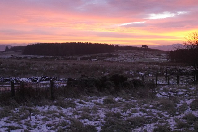
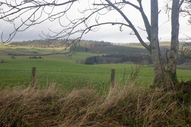
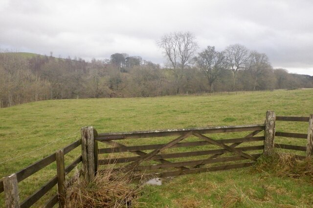
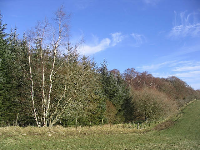
Satchelsburn Plantation is a scenic woodland area located in Roxburghshire, Scotland. Covering a vast expanse of land, this plantation is known for its lush forests and stunning landscapes, offering visitors a tranquil and memorable experience.

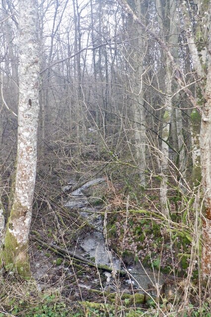
The plantation is home to a variety of tree species, including oak, beech, and Scots pine, creating a diverse and vibrant ecosystem. The trees provide a haven for numerous bird species, such as woodpeckers and owls, making it a popular spot for birdwatchers.

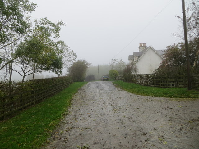
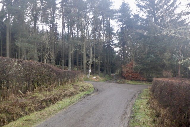
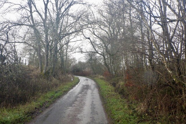
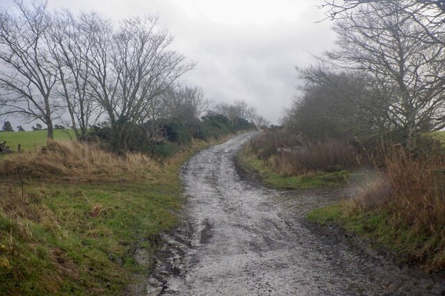
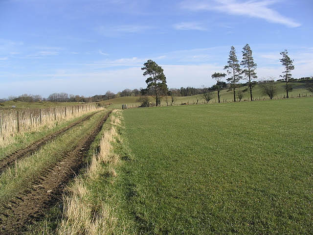
Trails and pathways wind their way through the plantation, allowing visitors to explore the enchanting woodlands at their own pace. The well-maintained paths provide a gentle and enjoyable walking experience for all ages and abilities. Along the way, visitors can appreciate the natural beauty of the area, with native plants and wildflowers adorning the forest floor.

Satchelsburn Plantation is not only a haven for wildlife but also offers recreational activities for outdoor enthusiasts. It is a popular destination for hiking, cycling, and horseback riding, with designated routes catering to these activities. The plantation also provides picnic areas, where visitors can enjoy a peaceful lunch surrounded by nature.

Managed by the local forestry commission, Satchelsburn Plantation is committed to sustainable forest management practices. This includes tree planting and maintenance, ensuring the long-term health and preservation of the woodlands.

In conclusion, Satchelsburn Plantation is a picturesque woodland area in Roxburghshire, Scotland, offering a rich and diverse natural environment. With its beautiful forests, well-maintained trails, and recreational activities, it provides a delightful experience for nature lovers and outdoor enthusiasts alike.

If you have any feedback on the listing, please let us know in the comments section below.

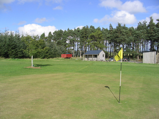
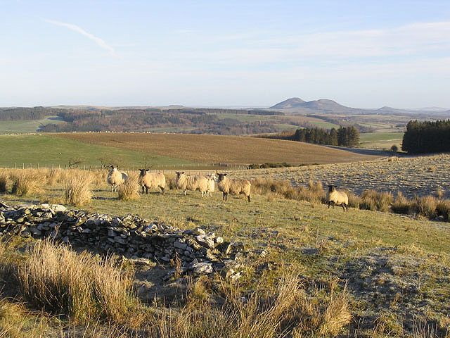
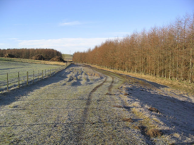
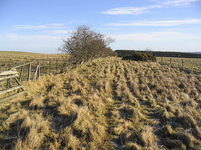
Satchelsburn Plantation Images

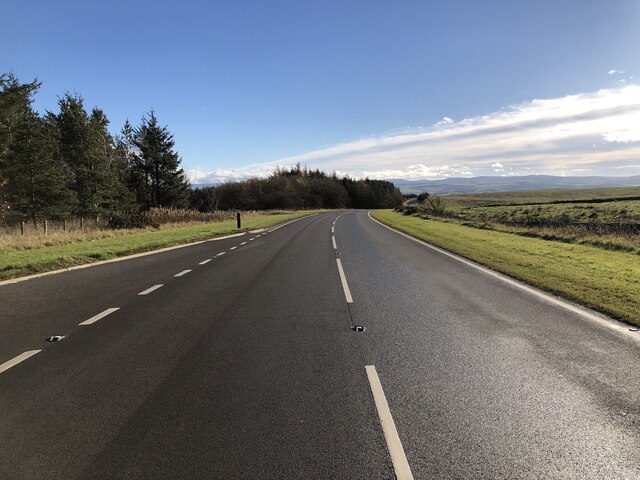
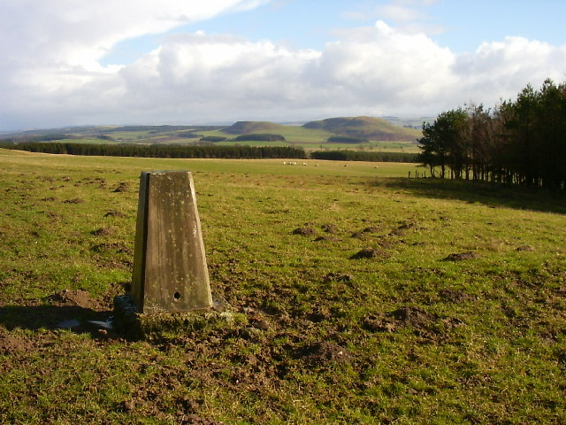
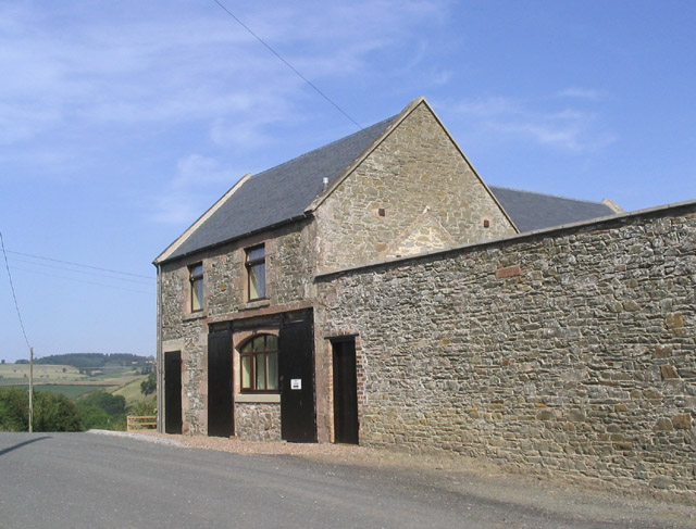
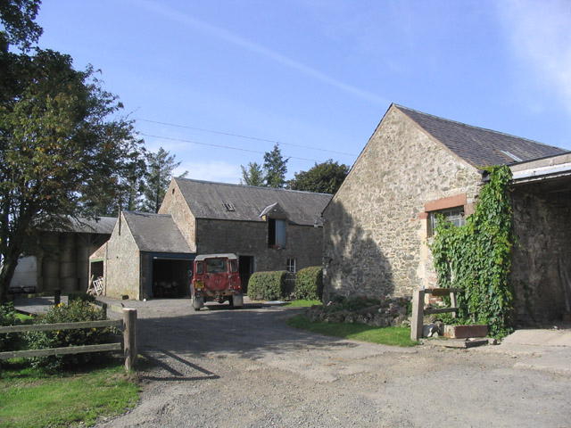
Images are sourced within 2km of 55.48855/-2.7892735 or Grid Reference NT5021. Thanks to Geograph Open Source API. All images are credited.

Groundistone Moss Dawn on the A7 with an old alignment of the road in the foreground.
Groundistone Moss
Dawn on the A7 with an old alignment of the road in the foreground.
Track at Muirfield Looking westward.
Track at Muirfield
Looking westward.
Road junction, Dimpleknowe
Minor road by Hermiston
Hermiston Burn
Hermiston Burn
Farm road, Hermiston
Field, Hermiston
Field, Hermiston
Field near Synton Mill
A7 A high and sometimes rather snowy (I used to commute on this road) road between Selkirk and Hawick. It has been much improved and it is actually possible to overtake in places.
A7
A high and sometimes rather snowy (I used to commute on this road) road between Selkirk and Hawick. It has been much improved and it is actually possible to overtake in places.
Muirfield trig Looking E from position
Muirfield trig
Looking E from position
Mill Cottage at Dimpleknowe This is a 2 storey former mill that has recently been converted into self catering holiday accommodation
Mill Cottage at Dimpleknowe
This is a 2 storey former mill that has recently been converted into self catering holiday accommodation
Hermiston Farm
Hermiston Farm
The 7th green at Lilliesleaf Golf Course near Dimpleknowe
Sheep near Satchels Farm Taken on a fine February morning with the Eildon Hills in the background.
Sheep near Satchels Farm
Taken on a fine February morning with the Eildon Hills in the background.
Farmland and plantations Blackcraig Plantation is on the left and a larch strip plantation on the right.
Brushwood piles can be seen at a clear fell area.
Farmland and plantations
Blackcraig Plantation is on the left and a larch strip plantation on the right. Brushwood piles can be seen at a clear fell area.
Drove Road This grass track that runs northeast from Groundiston Height to Harelaw, is noted on the Explorer Map as a drove road.
Drove Road
This grass track that runs northeast from Groundiston Height to Harelaw, is noted on the Explorer Map as a drove road.
Droveroad Plantation A mixture of tree species viewed from a large pasture field.
Droveroad Plantation
A mixture of tree species viewed from a large pasture field.
Farm track and pasture Farmland near Hermiston Farm.
Farm track and pasture
Farmland near Hermiston Farm.
Show me another place!

Satchelsburn Plantation is located at Grid Ref: NT5021 (Lat: 55.48855, Lng: -2.7892735)

Unitary Authority: The Scottish Borders

Police Authority: The Lothians and Scottish Borders

What 3 Words

///ballooned.winters.spite. Near Selkirk, Scottish Borders

Nearby Locations

Satchelsburn Plantation

Related Wikis

Nearby Amenities

Located within 500m of 55.48855,-2.7892735
Natural: peak
Lat/Long: 55.4888654/-2.7852806
Satchels
Place: hamlet
Lat/Long: 55.4885443/-2.7822566
Power: pole
Lat/Long: 55.4899568/-2.7821044
Power: pole
Lat/Long: 55.489385/-2.7823541
Power: pole
Lat/Long: 55.488816/-2.7826116
The data included in this document is from www.openstreetmap.org. The data is made available under ODbL.

Have you been to Satchelsburn Plantation?

Leave your review of Satchelsburn Plantation below (or comments, questions and feedback).