James's Wood
Wood, Forest in Berwickshire
Scotland
James's Wood
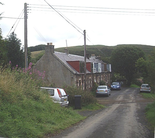
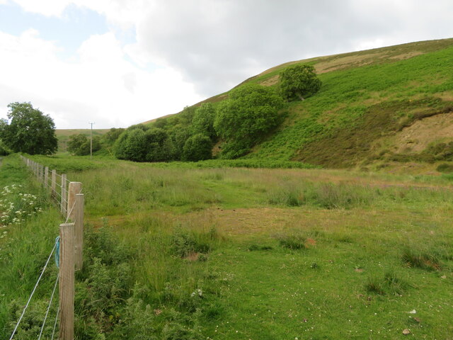
James's Wood is a picturesque forest located in the region of Berwickshire, Scotland. Covering an area of approximately 500 acres, it is a stunning natural landscape that attracts nature enthusiasts, hikers, and photographers alike.
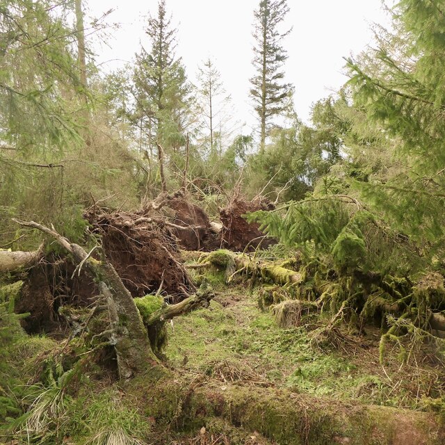
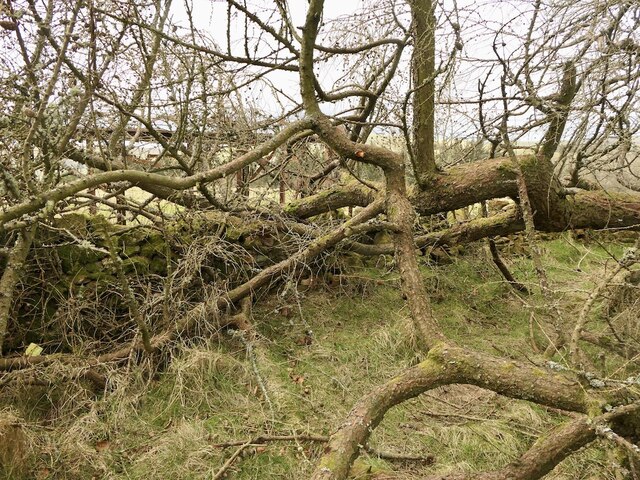
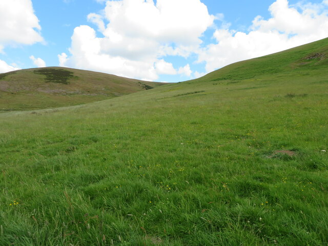
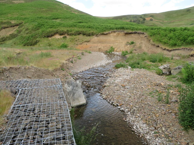
The woodland is characterized by its dense canopy of tall, mature trees, predominantly consisting of oak, beech, and birch. These majestic trees provide a haven for a diverse range of wildlife, including deer, foxes, and various species of birds. The forest floor is adorned with a variety of wildflowers, ferns, and mosses, adding to the enchanting atmosphere of the wood.
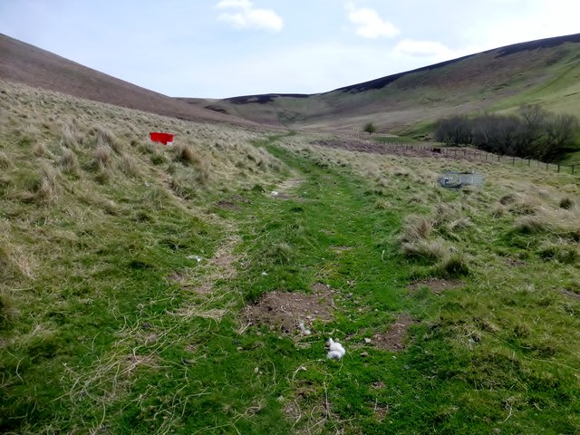
James's Wood boasts a well-maintained network of walking trails and paths, allowing visitors to explore its beauty at their own pace. The trails are clearly marked and range in difficulty, catering to both casual strollers and avid hikers. The forest also offers picnic areas and benches, providing the perfect opportunity to relax and enjoy the tranquility of the surroundings.
The forest is a popular destination for nature photography due to its stunning vistas and abundant wildlife. Photographers can capture breathtaking shots of sunlight filtering through the canopy, creating a magical ambiance. Additionally, the changing colors of the trees during the autumn season make for spectacular photographs.
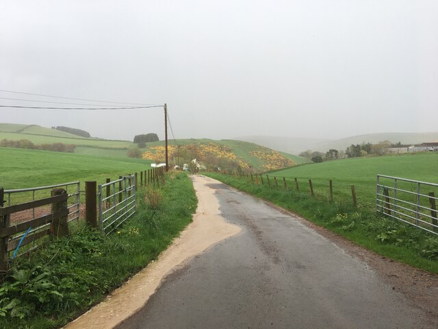
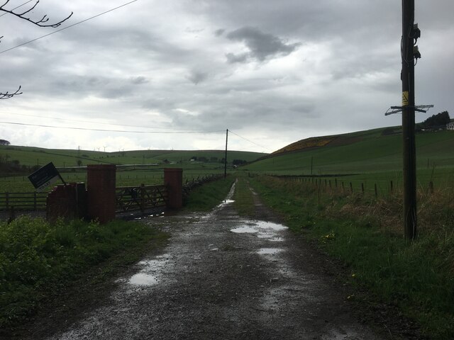
James's Wood is easily accessible by car, with ample parking available nearby. It is open to the public throughout the year, offering visitors the chance to experience the beauty of nature in every season. Whether one seeks solace, adventure, or a peaceful retreat, James's Wood in Berwickshire provides a truly memorable experience for all who visit.
If you have any feedback on the listing, please let us know in the comments section below.
James's Wood Images
Images are sourced within 2km of 55.799282/-2.7956448 or Grid Reference NT5056. Thanks to Geograph Open Source API. All images are credited.
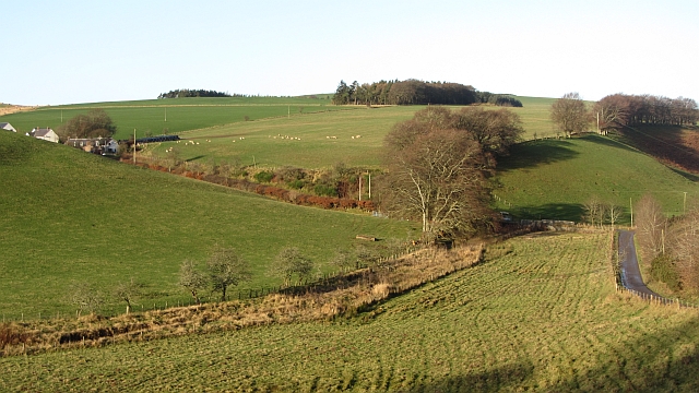
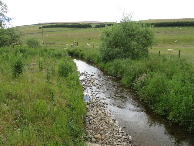
![Looking across the valley of the Kelphope Burn Newly sown fields here [grass?], and pasture beyond the burn, which is marked by the lighter trees.](https://s1.geograph.org.uk/geophotos/07/21/14/7211489_eb7cfe56.jpg)
![Dog Rose by the Kelphope Burn Wild Roses [Rosa canina] have been particularly good this spring; for a close up see <a href="https://www.geograph.org.uk/photo/7211564">NT5156 : Wild Rose by the Kelphope Burn</a>.](https://s2.geograph.org.uk/geophotos/07/21/15/7211558_807992bd.jpg)
James's Wood is located at Grid Ref: NT5056 (Lat: 55.799282, Lng: -2.7956448)
Unitary Authority: The Scottish Borders
Police Authority: The Lothians and Scottish Borders
What 3 Words
///nuns.palettes.tissue. Near Lauder, Scottish Borders
Nearby Locations
Related Wikis

Carfrae Bastle
Carfrae Bastle is a small ruined tower house about 5 miles (8.0 km) north of Lauder, Scottish Borders, Scotland, near Hillhouse == History == Carfrae Bastle...

Channelkirk
Channelkirk is a parish and community council area in the north-west corner of the historic county of Berwickshire in the Scottish Borders area of Scotland...

Oxton railway station
Oxton railway station served the village of Oxton, Scottish Borders, Scotland, from 1901 to 1958 on the Lauder Light Railway. == History == The station...

Oxton, Scottish Borders
Oxton is a small rural village in the Scottish Borders area of Scotland, just off the A68. It is 4+1⁄2 miles (7 kilometres) north of Lauder, and 20 mi...
Addinston
Addinston is a farming village, off the A697, close to the Carfraemill roundabout, with two hill forts and settlements, in Lauderdale in the Scottish...

Soutra Aisle
Soutra Aisle, (the present structure lies just within the boundary of the Scottish Borders from Midlothian) not far from Fala, is the remains of the House...

Lammermuir Hills
The Lammermuirs are a range of hills in southern Scotland, forming a natural boundary between East Lothian and the Borders. The name "Lammermuir" comes...

Fala, Midlothian
Fala is a hamlet in the south-eastern corner of Midlothian, Scotland, and about 15 miles from Edinburgh. == Location == The parish of the same name is...
Nearby Amenities
Located within 500m of 55.799282,-2.7956448Have you been to James's Wood?
Leave your review of James's Wood below (or comments, questions and feedback).