Halfmoon Plantation
Wood, Forest in East Lothian
Scotland
Halfmoon Plantation
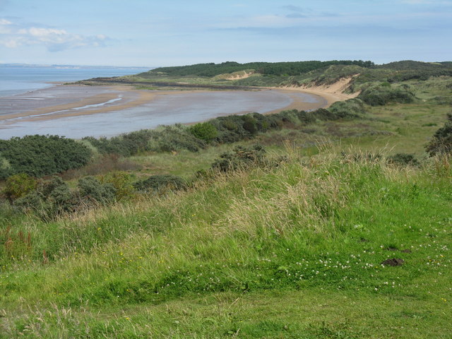
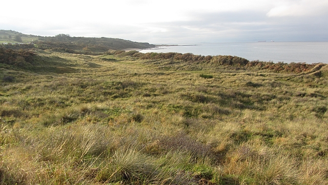
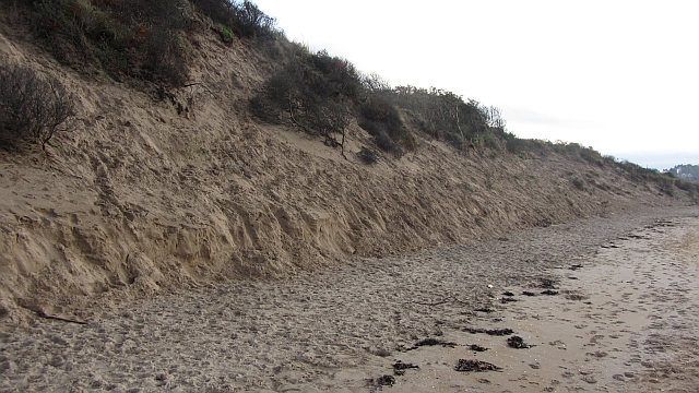
Halfmoon Plantation is an expansive woodland located in East Lothian, Scotland. Situated in the heart of a picturesque countryside, this plantation spans over a significant area, boasting a diverse range of tree species and a thriving ecosystem.
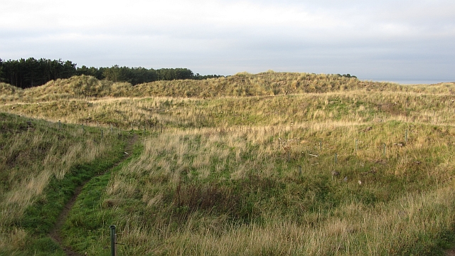
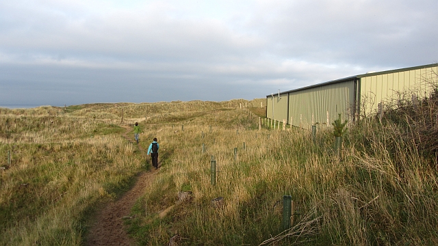
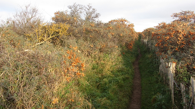
The plantation is named after the distinctive shape of the moon when it is half illuminated, which is said to resemble the contour of the woodland when viewed from a distance. It is easily accessible, with well-maintained paths and trails that allow visitors to explore its enchanting beauty.
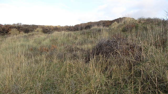
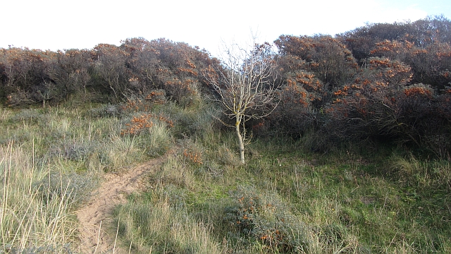
The woodland is primarily composed of native trees, including oak, birch, beech, and pine, providing a rich habitat for various wildlife species. The dense foliage and towering trees create a serene and tranquil atmosphere, making it a popular destination for nature enthusiasts and hikers.
Halfmoon Plantation offers a plethora of recreational activities for visitors to enjoy. Its extensive network of walking trails allows for leisurely strolls, while more adventurous individuals can engage in mountain biking or horseback riding through the forest. The plantation also provides picnic areas and designated spots for birdwatching, attracting bird species such as red kites, woodpeckers, and owls.
Additionally, the woodland serves as a vital carbon sink, contributing to the region's efforts in combating climate change. Local conservation organizations are actively involved in the maintenance and preservation of Halfmoon Plantation, ensuring its sustainability for future generations.
With its natural beauty and diverse ecosystem, Halfmoon Plantation is a cherished gem in East Lothian, providing a peaceful retreat and a haven for both wildlife and humans alike.
If you have any feedback on the listing, please let us know in the comments section below.
Halfmoon Plantation Images
Images are sourced within 2km of 56.042106/-2.806495 or Grid Reference NT4983. Thanks to Geograph Open Source API. All images are credited.


Halfmoon Plantation is located at Grid Ref: NT4983 (Lat: 56.042106, Lng: -2.806495)
Unitary Authority: East Lothian
Police Authority: The Lothians and Scottish Borders
What 3 Words
///constrain.secure.zeal. Near Gullane, East Lothian
Nearby Locations
Related Wikis

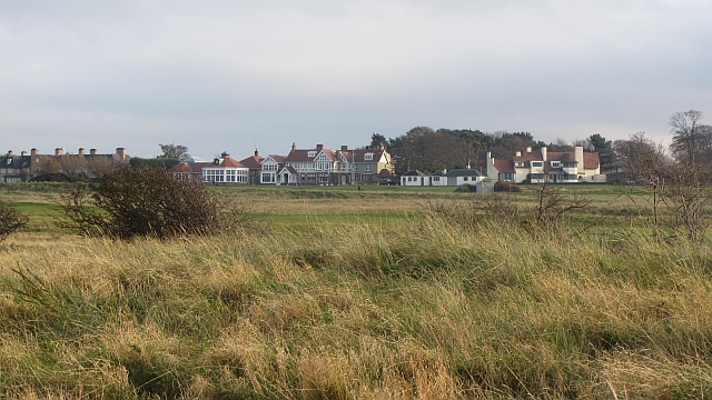
Greywalls
Greywalls is an Edwardian country house at Gullane in East Lothian, Scotland. It was built in 1901 for Alfred Lyttelton, to designs by Sir Edwin Lutyens...

1948 Open Championship
The 1948 Open Championship was the 77th Open Championship, held 30 June to 2 July at Muirfield in Gullane, East Lothian, Scotland. Henry Cotton, age 41...
1952 Curtis Cup
The 7th Curtis Cup Match was played on 6 and 7 June 1952 at Muirfield in Scotland. The British Isles won by 5 matches to 4, to win the Curtis Cup for the...

Muirfield
Muirfield is a privately owned golf links which is the home of The Honourable Company of Edinburgh Golfers. Located in Gullane, East Lothian, Scotland...
1876 Open Championship
The 1876 Open Championship was the 16th Open Championship, held on Saturday 30 September at the Old Course at St Andrews, Fife, Scotland. Bob Martin won...
1879 Open Championship
The 1879 Open Championship was the 19th Open Championship, held 27 September at the Old Course at St Andrews, Fife, Scotland. Jamie Anderson won the Championship...
1872 Open Championship
The 1872 Open Championship was the 12th Open Championship, held 13 September at Prestwick Golf Club in Prestwick, South Ayrshire, Scotland. Tom Morris...
2013 Open Championship
The 2013 Open Championship was a men's major golf championship and the 142nd Open Championship, held from 18–21 July at Muirfield Golf Links in Gullane...
Nearby Amenities
Located within 500m of 56.042106,-2.806495Have you been to Halfmoon Plantation?
Leave your review of Halfmoon Plantation below (or comments, questions and feedback).