Muirfield

Settlement in East Lothian

Scotland

Muirfield

Gullane Links View over the golf courses towards Edinburgh.
Gullane Links Credit: Richard Webb

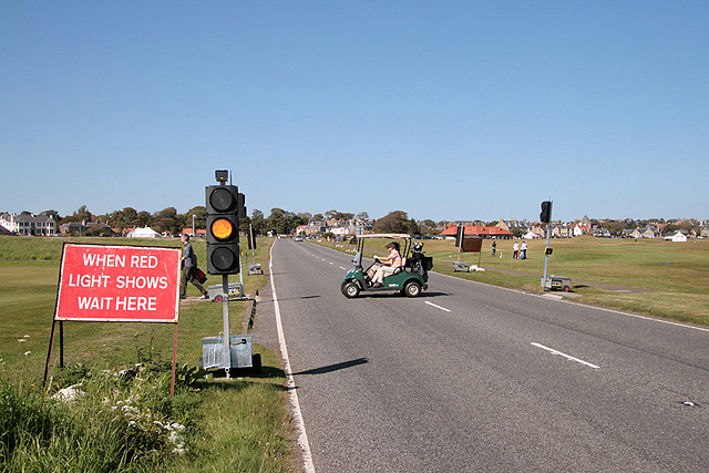
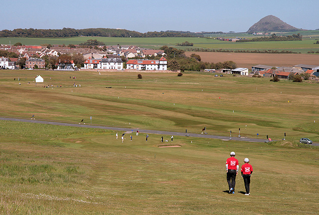
Muirfield is a prestigious coastal village located in East Lothian, Scotland. Situated approximately 20 miles east of Edinburgh, this small community is renowned for its world-class golf course and stunning natural beauty. Muirfield is often referred to as one of the finest links courses in the world, hosting numerous prestigious golf tournaments, including The Open Championship.

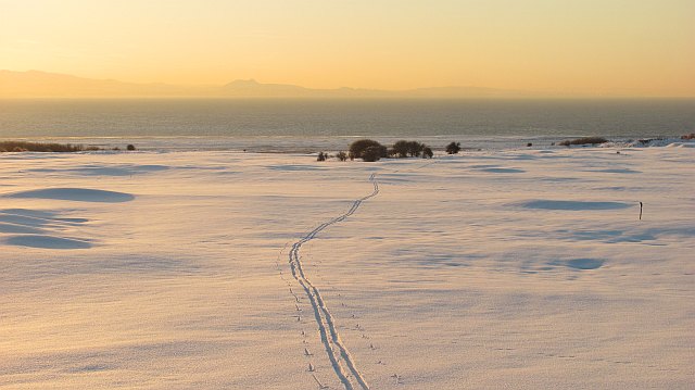
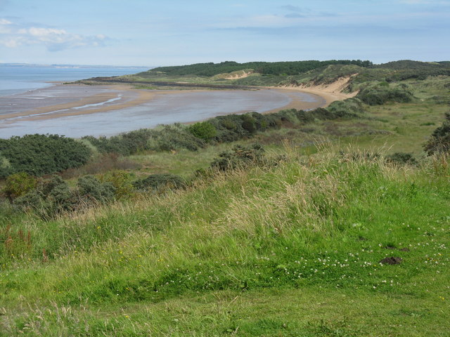
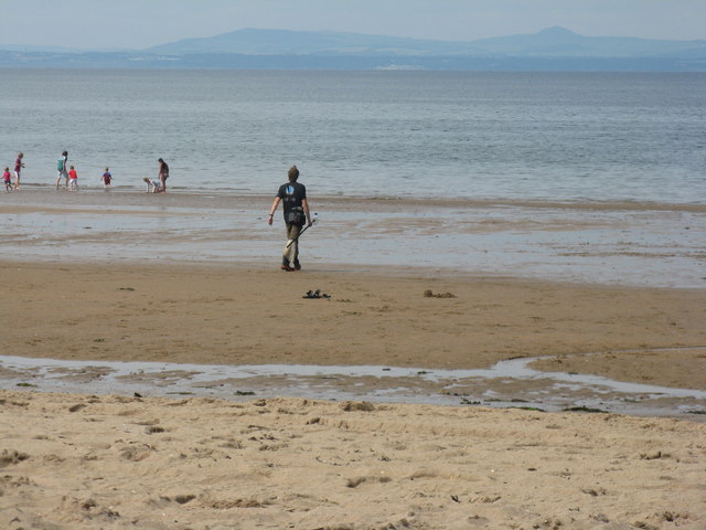
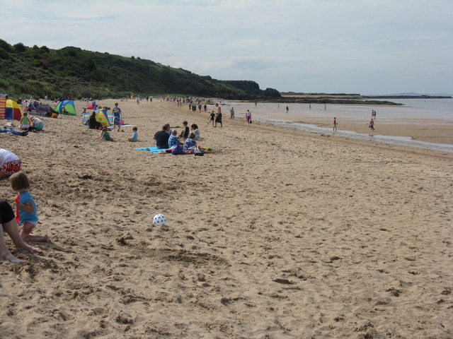
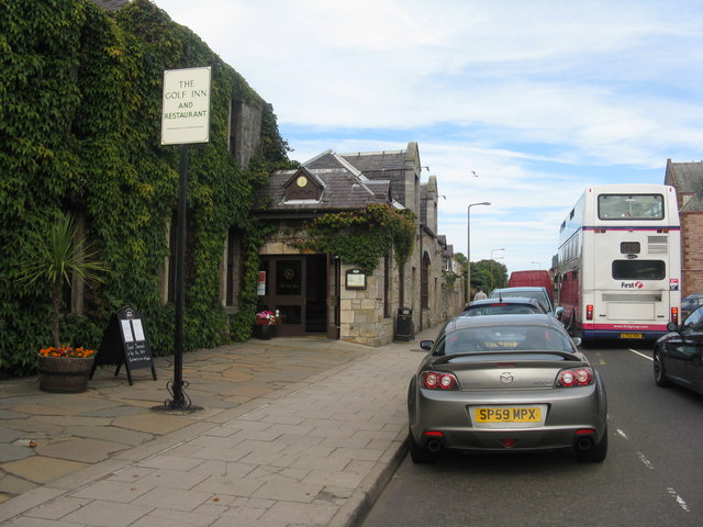
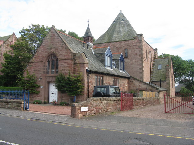
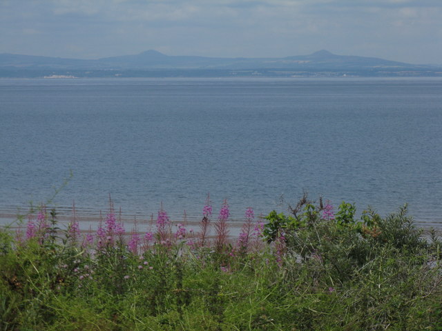
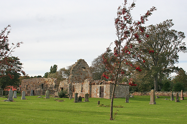
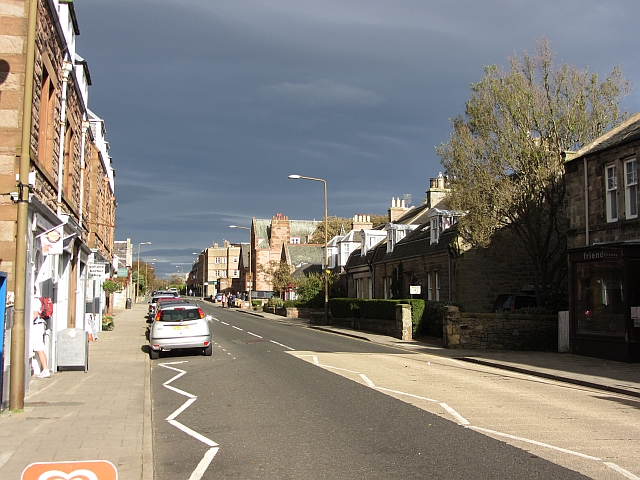
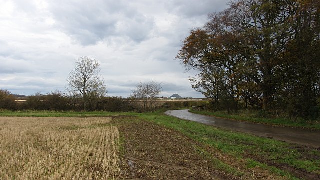
The village itself is characterized by its charming and peaceful atmosphere. The streets are lined with traditional stone-built houses that exude a sense of history and elegance. Muirfield's close proximity to the coast allows for breathtaking views of the North Sea, with golden sandy beaches stretching for miles.

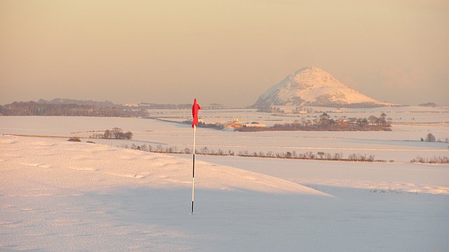
The centerpiece of Muirfield is undoubtedly the Muirfield Golf Club. Established in 1744, it is one of the oldest golf clubs in the world and has a rich heritage. The course is meticulously maintained, featuring undulating fairways, deep bunkers, and challenging greens, making it a true test of skill for golfers of all levels.

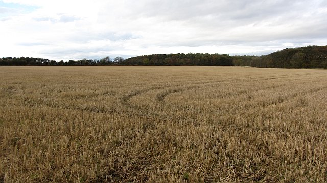
Aside from golf, Muirfield offers a range of outdoor activities for visitors to enjoy. The surrounding countryside is dotted with walking and cycling trails, perfect for exploring the picturesque East Lothian landscape. The nearby John Muir Way is particularly popular, offering stunning views and the chance to spot local wildlife.

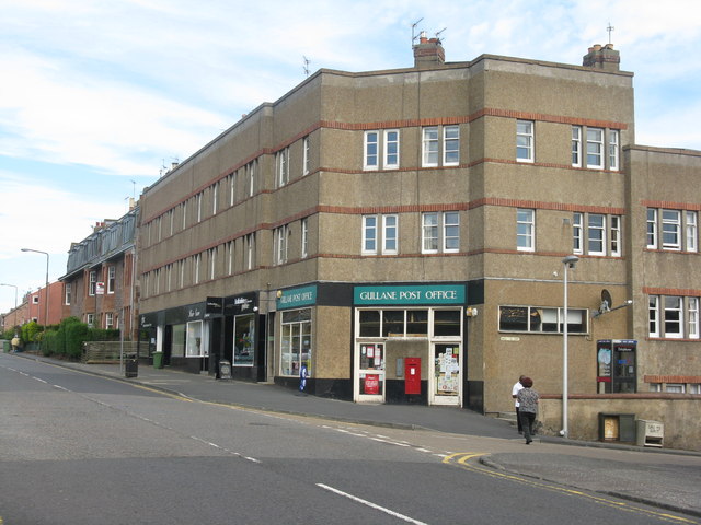
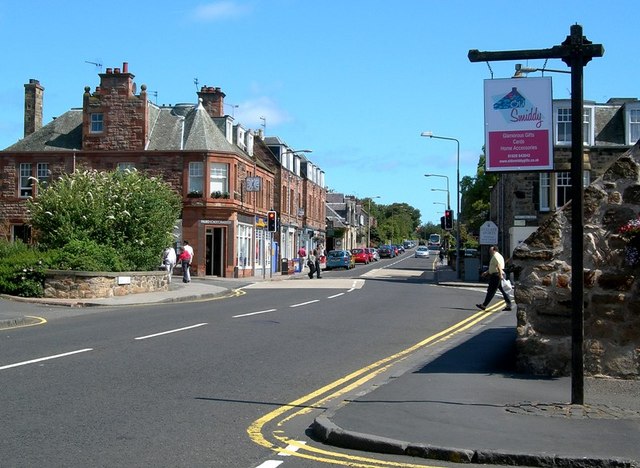
In terms of amenities, Muirfield boasts a selection of quaint shops, cafes, and restaurants, offering visitors a taste of traditional Scottish hospitality. For those seeking a tranquil and idyllic retreat, Muirfield in East Lothian is the perfect destination.

If you have any feedback on the listing, please let us know in the comments section below.

Muirfield Images

Images are sourced within 2km of 56.037156/-2.8200818 or Grid Reference NT4983. Thanks to Geograph Open Source API. All images are credited.

Gullane Links View over the golf courses towards Edinburgh.
Gullane Links
View over the golf courses towards Edinburgh.
Gullane Links A green on some of the higher ground at Gullane with a view of North Berwick Law.
Gullane Links
A green on some of the higher ground at Gullane with a view of North Berwick Law.
Temporary traffic lights on the A198 at Gullane The 2011 US Kids Golf European Championship was held from 31st May to 2nd June over Gullane Number 2, Gullane Number 3, Craigielaw, Luffness New and Longniddry golf courses. This is one of three temporary traffic light-controlled pedestrian crossings on the A198 road that were installed for the event. In this photo senior players are using the crossing to move from the 1st green to the 2nd tee on Gullane Number 2 course.
Temporary traffic lights on the A198 at Gullane
The 2011 US Kids Golf European Championship was held from 31st May to 2nd June over Gullane Number 2, Gullane Number 3, Craigielaw, Luffness New and Longniddry golf courses. This is one of three temporary traffic light-controlled pedestrian crossings on the A198 road that were installed for the event. In this photo senior players are using the crossing to move from the 1st green to the 2nd tee on Gullane Number 2 course.
Gullane Number 2 Golf Course This is a view of the downhill 17th par 4 hole towards Gullane with the A198 road behind the green. The distinctive shape of North Berwick Law is on the far right. The course was built in 1898 and the 1st and 18th holes are on the east side of the A198 road.
Gullane Number 2 Golf Course
This is a view of the downhill 17th par 4 hole towards Gullane with the A198 road behind the green. The distinctive shape of North Berwick Law is on the far right. The course was built in 1898 and the 1st and 18th holes are on the east side of the A198 road.
Gullane Bay at low tide Looking across from the Gullane Bents car park on a sunny August day, just after midday.
Gullane Bay at low tide
Looking across from the Gullane Bents car park on a sunny August day, just after midday.
Cleaning the beach at Gullane
Man with a mission... .. and a bottle, to collect a water sample for testing, to ensure that the beach continues to be up to its flag flying standard.
Man with a mission...
.. and a bottle, to collect a water sample for testing, to ensure that the beach continues to be up to its flag flying standard.
The beach at Gullane Looking west towards Bleaching Rocks - on a fine, quiet Wednesday afternoon in August.
The beach at Gullane
Looking west towards Bleaching Rocks - on a fine, quiet Wednesday afternoon in August.
Main Street Gullane Looking towards North Berwick, with the Golf Inn and Restaurant on the left
Main Street Gullane
Looking towards North Berwick, with the Golf Inn and Restaurant on the left
St Peter's Hall, Main Street, Gullane
Gullane Post Office And shops and flats, at the junction of Main Street and Hall Crescent.
Gullane Post Office
And shops and flats, at the junction of Main Street and Hall Crescent.
A view of the Lomond Hills in Fife, from Gullane As seen looking northwest across Gullane Bay, from the south side of the Firth of Forth from Gullane Bents.
A view of the Lomond Hills in Fife, from Gullane
As seen looking northwest across Gullane Bay, from the south side of the Firth of Forth from Gullane Bents.
St Andrews Kirk The ruins of the ancient kirk are almost the first thing to greet you as you enter the small town of Gullane.
St Andrews Kirk
The ruins of the ancient kirk are almost the first thing to greet you as you enter the small town of Gullane.
Post Box at Gullane This one is very plain, with just the letters GR and no other decorations. It is set into the sandstone wall surrounding the old kirk of St Andrew.
Post Box at Gullane
This one is very plain, with just the letters GR and no other decorations. It is set into the sandstone wall surrounding the old kirk of St Andrew.
Main Street, Gullane
Stubble, Luffness A few years ago, this was like a big lawn as the field was used for growing turf.
Stubble, Luffness
A few years ago, this was like a big lawn as the field was used for growing turf.
Minor road, Luffness A wet and muddy road with stubble to the north and a vegetable crop to the south. The view is towards North Berwick Law.
Minor road, Luffness
A wet and muddy road with stubble to the north and a vegetable crop to the south. The view is towards North Berwick Law.
East Lothian Townscape : ELCC Fingerpost at West Fenton Road, Gullane An attractive single-finger ELCC post, unfortunately marked.
East Lothian Townscape : ELCC Fingerpost at West Fenton Road, Gullane
An attractive single-finger ELCC post, unfortunately marked.
Show me another place!

Muirfield is located at Grid Ref: NT4983 (Lat: 56.037156, Lng: -2.8200818)

Unitary Authority: East Lothian

Police Authority: The Lothians and Scottish Borders

What 3 Words

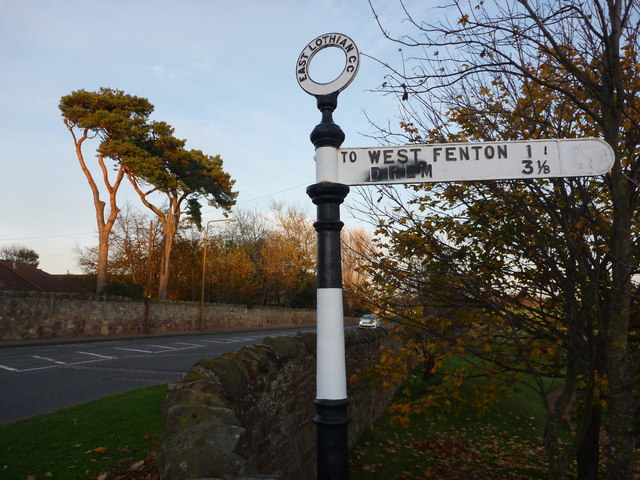
///slams.standards.nitrate. Near Gullane, East Lothian

Related Wikis

Gullane railway station

Gullane railway station served the village of Gullane in Scotland. It was served by the Aberlady, Gullane and North Berwick railway. This line diverged...

Gullane

Gullane ( GUL-ən or GIL-ən) is a town on the southern shore of the Firth of Forth in East Lothian on the east coast of Scotland. There has been a church...

1948 Open Championship

The 1948 Open Championship was the 77th Open Championship, held 30 June to 2 July at Muirfield in Gullane, East Lothian, Scotland. Henry Cotton, age 41...

1952 Curtis Cup

The 7th Curtis Cup Match was played on 6 and 7 June 1952 at Muirfield in Scotland. The British Isles won by 5 matches to 4, to win the Curtis Cup for the...

Nearby Amenities

Located within 500m of 56.037156,-2.8200818
Bus Stop
Lammermuir Court
Bench: no
Naptan AtcoCode: 627002010030
Naptan Bearing: E
Naptan CommonName: Lammermuir Court
Naptan Indicator: opposite Lammermuir Court
Naptan NaptanCode: 58232592
Naptan Street: Main Street
Public Transport: platform
Shelter: no
Source: naptan_import
Lat/Long: 56.0360728/-2.8278005
Bus Stop
Muirfield Park
Bin: no
Naptan AtcoCode: 627002010040
Naptan Bearing: E
Naptan CommonName: Muirfield Park
Naptan Indicator: opposite Fire Training College
Naptan NaptanCode: 58232596
Naptan Street: Main Street
Naptan Verified: no
Public Transport: platform
Shelter: yes
Source: naptan_import
Lat/Long: 56.0383227/-2.8200025
Bus Stop
Broadgait
Bench: no
Bin: no
Naptan AtcoCode: 627002010050
Naptan Bearing: E
Naptan CommonName: Broadgait
Naptan Indicator: at Broadgait
Naptan NaptanCode: 58232594
Naptan Street: Main Street
Public Transport: platform
Shelter: no
Source: naptan_import
Tactile Paving: no
Lat/Long: 56.0369766/-2.8245932
Bus Stop
Muirfield Park
Bench: yes
Bin: yes
Naptan AtcoCode: 627002020040
Naptan Bearing: W
Naptan CommonName: Muirfield Park
Naptan Indicator: at Fire Training Centre
Naptan NaptanCode: 58232595
Naptan Street: Main Street
Naptan Verified: no
Public Transport: platform
Shelter: yes
Source: naptan_import
Lat/Long: 56.037938/-2.8209047
Bus Stop
Broadgait
Bench: no
Bin: no
Naptan AtcoCode: 627002020050
Naptan Bearing: W
Naptan CommonName: Broadgait
Naptan Indicator: opposite Broadgait
Naptan NaptanCode: 58232593
Naptan Street: Main Street
Public Transport: platform
Shelter: no
Source: naptan_import
Tactile Paving: no
Lat/Long: 56.0369072/-2.8244974
Traffic Signals
Lat/Long: 56.0372907/-2.8232805
Traffic Calming: cushion
Lat/Long: 56.035562/-2.8232536
Traffic Calming: cushion
Lat/Long: 56.0367395/-2.8227606
Give Way
Lat/Long: 56.0394379/-2.8230961
Gullane
Historic Railway: station
Railway: site
Wikidata: Q5617765
Wikipedia: en:Gullane railway station
Lat/Long: 56.0364875/-2.8239264
Post Box
Ref: EH31 345
Lat/Long: 56.0393455/-2.8230726
Post Box
Operator: Royal Mail
Post Box Mounting: pier
Post Box Type: lamp
Ref: EH31 95
Royal Cypher: scottish_crown
Lat/Long: 56.0350201/-2.8227755
Post Box
Post Box Type: wall
Ref: EH31 59
Lat/Long: 56.0369206/-2.8244436
Traffic Calming: cushion
Lat/Long: 56.0370842/-2.8230816
Traffic Calming: cushion
Lat/Long: 56.0348009/-2.8236139
Crossing
Crossing: unmarked
Tactile Paving: yes
Lat/Long: 56.0344285/-2.820464
Traffic Calming: cushion
Lat/Long: 56.0342644/-2.8219426
Traffic Calming: cushion
Lat/Long: 56.0353527/-2.8239966
Traffic Calming: cushion
Lat/Long: 56.0353458/-2.8225821
Generator Method: photovoltaic
Generator Output Electricity: yes
Generator Source: solar
Generator Type: solar_photovoltaic_panel
Power: generator
Lat/Long: 56.0340964/-2.8229196
Traffic Calming: cushion
Lat/Long: 56.0348812/-2.8250299
Traffic Calming: cushion
Lat/Long: 56.0345034/-2.8212103
Traffic Calming: cushion
Lat/Long: 56.0340883/-2.822539
Traffic Calming: cushion
Lat/Long: 56.0350166/-2.8229555
Traffic Calming: cushion
Lat/Long: 56.0346419/-2.8228359
Traffic Calming: cushion
Lat/Long: 56.0340264/-2.8254381
Traffic Calming: cushion
Lat/Long: 56.0342681/-2.8259307
Traffic Calming: cushion
Lat/Long: 56.034203/-2.8248608
Traffic Calming: cushion
Lat/Long: 56.0344078/-2.8241975
Traffic Calming: cushion
Lat/Long: 56.0347092/-2.8242495
Traffic Calming: cushion
Lat/Long: 56.0359745/-2.8220473
Traffic Calming: cushion
Lat/Long: 56.0362926/-2.8223537
Crossing
Crossing: unmarked
Tactile Paving: yes
Lat/Long: 56.0345365/-2.820695
Crossing
Crossing: unmarked
Tactile Paving: yes
Lat/Long: 56.0345933/-2.8209309
Crossing
Crossing: unmarked
Tactile Paving: yes
Lat/Long: 56.0337817/-2.8225365
Bench
Material: concrete
Lat/Long: 56.0365991/-2.8193912
Bench
Material: concrete
Lat/Long: 56.0365736/-2.8193664
Bench
Material: concrete
Lat/Long: 56.0364534/-2.8192457
Artwork Type: sculpture
Tourism: artwork
Lat/Long: 56.0366965/-2.8209034
Man Made: mast
Tower Type: communication
Lat/Long: 56.0359346/-2.8209785
Bench
Material: concrete
Lat/Long: 56.0368157/-2.8196079
Entrance: staircase
Lat/Long: 56.0372968/-2.8225794
Give Way
Direction: forward
Lat/Long: 56.0381619/-2.8201621
Give Way
Direction: backward
Lat/Long: 56.037885/-2.8214799
Location: outdoor
Power: substation
Substation: minor_distribution
Lat/Long: 56.0397016/-2.8234729
Give Way
Direction: backward
Lat/Long: 56.0378583/-2.8279077
Location: indoor
Power: substation
Substation: minor_distribution
Lat/Long: 56.0370172/-2.8261635
Give Way
Direction: backward
Lat/Long: 56.0390005/-2.826044
The data included in this document is from www.openstreetmap.org. The data is made available under ODbL.

Have you been to Muirfield?

Leave your review of Muirfield below (or comments, questions and feedback).