Whin Covert
Wood, Forest in East Lothian
Scotland
Whin Covert
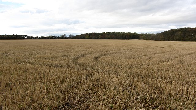
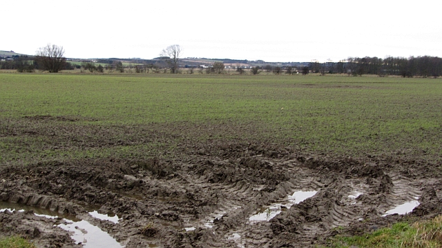
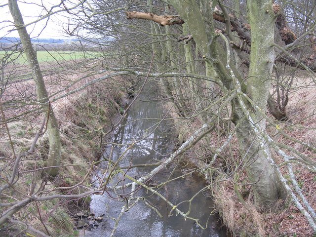
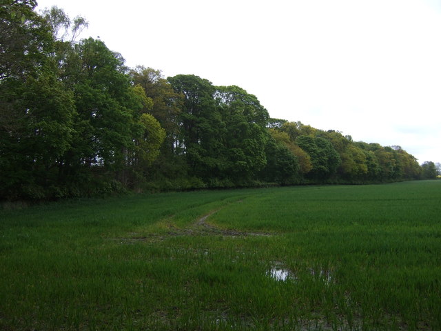
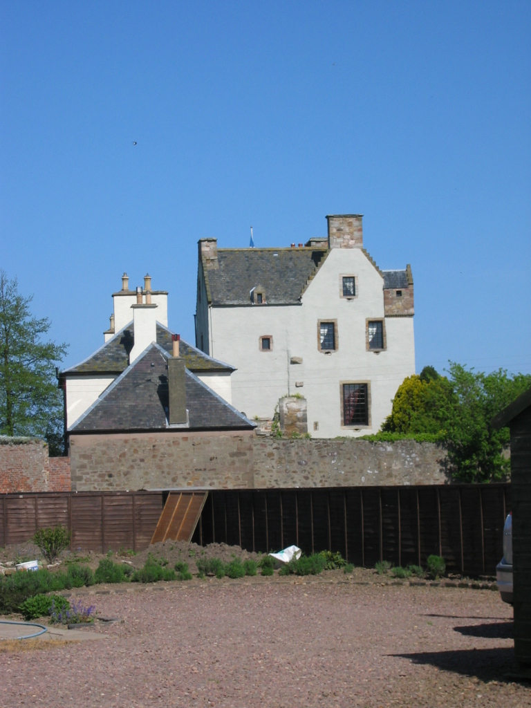
Whin Covert is a remarkable woodland area located in East Lothian, Scotland. Spanning over a vast expanse, this forest is a haven for nature enthusiasts and those seeking tranquility amidst lush greenery. Covering an area of approximately 150 hectares, Whin Covert is a remarkable example of Scotland's natural beauty.
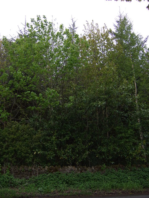
The woodland is predominantly composed of native tree species, such as oak, birch, and rowan, which create a rich and diverse ecosystem. The dense canopy provides a sheltered environment for a variety of flora and fauna, making it an ideal habitat for wildlife. Visitors to Whin Covert can expect to encounter a plethora of bird species, including woodpeckers, warblers, and owls. The forest floor is adorned with a vibrant array of wildflowers, such as bluebells and primroses, adding to its enchanting atmosphere.
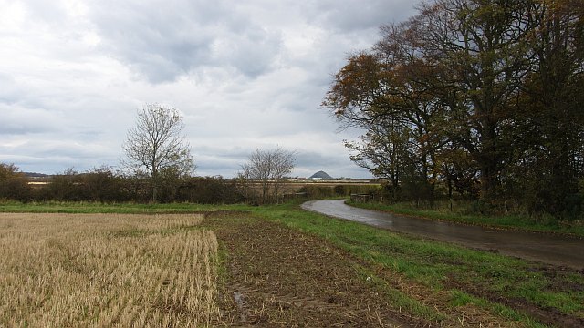
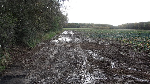
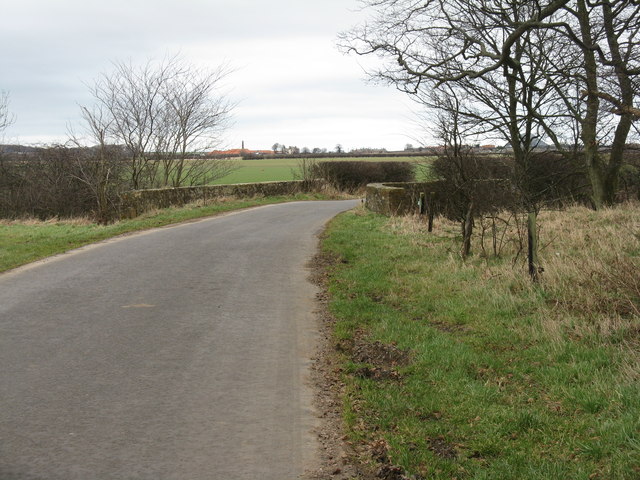
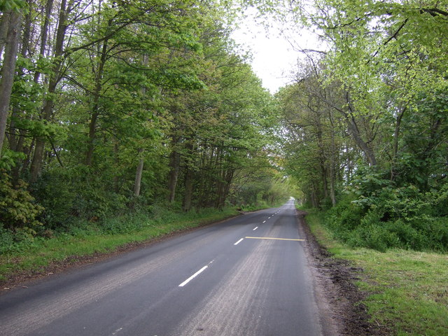
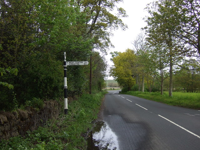
Traversing through Whin Covert, visitors can explore a network of well-maintained footpaths that meander through the forest. These paths offer a chance to immerse oneself in the serenity of nature and provide ample opportunities for hiking, jogging, and wildlife spotting. Additionally, there are picnic areas scattered throughout the woodland, allowing visitors to relax and enjoy a meal amidst the picturesque surroundings.
Whin Covert also boasts historical significance, with remnants of ancient settlements and archaeological sites scattered throughout the forest. These remnants provide insight into the area's past, adding an additional layer of intrigue to the woodland's allure.
Overall, Whin Covert is a captivating woodland in East Lothian, offering a harmonious blend of natural beauty, wildlife, and historical significance. Whether it is for leisurely walks or immersing oneself in the wonders of nature, this forest is a must-visit destination for all.
If you have any feedback on the listing, please let us know in the comments section below.
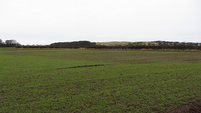
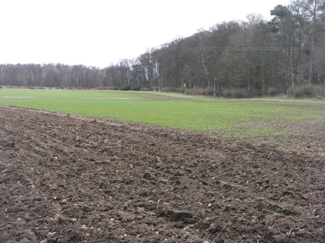
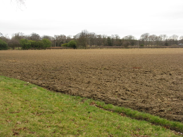
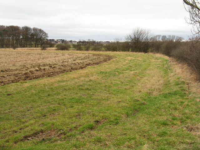
Whin Covert Images
Images are sourced within 2km of 56.01102/-2.8076272 or Grid Reference NT4980. Thanks to Geograph Open Source API. All images are credited.


Whin Covert is located at Grid Ref: NT4980 (Lat: 56.01102, Lng: -2.8076272)
Unitary Authority: East Lothian
Police Authority: The Lothians and Scottish Borders
What 3 Words
///gentle.breached.ideals. Near Gullane, East Lothian
Nearby Locations
Related Wikis

Drem
Drem (Scottish Gaelic: Druim) is a small village in East Lothian, Scotland.It is approximately 20 miles east of Edinburgh and is close to Haddington (to...

RAF Drem
Royal Air Force Drem, or more simply RAF Drem, is a former Royal Air Force station, just north of the village of Drem in East Lothian, Scotland. The motto...

Drem railway station
Drem railway station serves the small village of Drem in East Lothian, 5 miles (8 km) from the seaside town of North Berwick in Scotland. It is located...
Luffness Platform railway station
Luffness Platform (also known as Luffness Golf Club Halt) served a golf course near Gullane in Scotland. It was served by the Aberlady, Gullane and North...

Luffness
Luffness is a hamlet in East Lothian, Scotland. It lies between the towns of Gullane and Aberlady and is approximately 20 miles east of Edinburgh. ��2...
Ballencrieff Castle
Ballencrieff Castle, also known as Ballencrieff House, is a large tower house at Ballencrieff, East Lothian, Scotland. It is located three miles north...

Saltcoats Castle
Saltcoats Castle is a courtyard castle dating from the sixteenth century, about .5 miles (0.80 km) south of Gullane in East Lothian, Scotland. It is designated...
Chesters Hill Fort
Chesters Hill Fort is an Iron Age hill fort in East Lothian, Scotland. It lies 1 mile (2 kilometres) south of Drem, 1+1⁄2 mi (2.5 km) east of Ballencrieff...
Nearby Amenities
Located within 500m of 56.01102,-2.8076272Have you been to Whin Covert?
Leave your review of Whin Covert below (or comments, questions and feedback).