Langtonheight Plantation

Wood, Forest in Roxburghshire

Scotland

Langtonheight Plantation

Road junction, Dimpleknowe
Road junction, Dimpleknowe Credit: Richard Webb

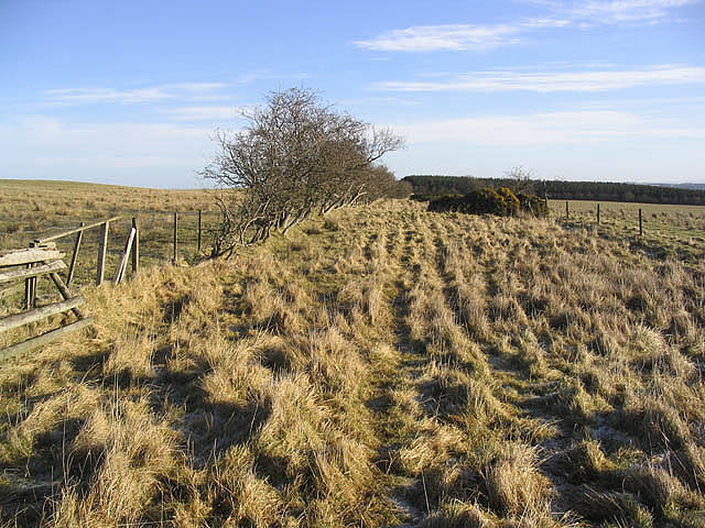
Located in the picturesque region of Roxburghshire in Scotland, Langtonheight Plantation is a sprawling woodland estate renowned for its natural beauty and rich history. Spanning over 500 acres, this enchanting forest has captivated visitors for centuries with its diverse flora and fauna, making it a popular destination for nature lovers and outdoor enthusiasts.

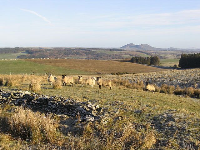
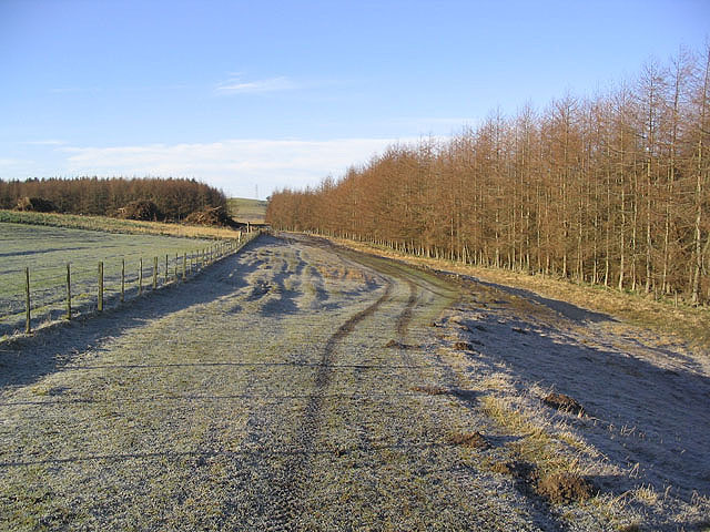
The plantation is home to a wide variety of tree species, including oak, beech, and pine, which create a harmonious tapestry of colors throughout the seasons. The dense vegetation provides a sanctuary for numerous wildlife species, such as red squirrels, deer, and a multitude of bird species, making it a haven for wildlife enthusiasts and birdwatchers.

Steeped in history, Langtonheight Plantation has ancient roots that date back to the medieval era. It was originally established as a hunting ground for local nobility, who would explore its vast expanse in pursuit of game. Over the years, it has evolved into a cherished woodland retreat, attracting visitors from all walks of life.

Visitors can explore the plantation through a network of well-maintained trails that wind through the forest, offering breathtaking views of the surrounding landscape. The tranquil atmosphere and the soothing sound of rustling leaves create a serene ambiance, making it an ideal place for leisurely walks, picnics, or simply immersing oneself in nature.

Langtonheight Plantation, with its remarkable biodiversity and rich heritage, remains a cherished treasure of Roxburghshire, providing a serene and captivating escape for those seeking solace in the embrace of nature.

If you have any feedback on the listing, please let us know in the comments section below.

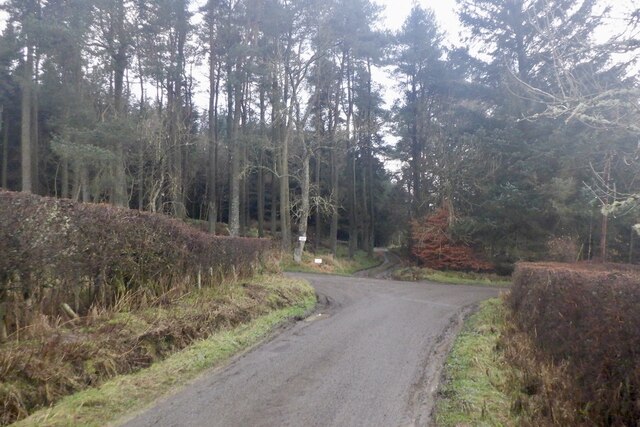
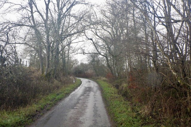
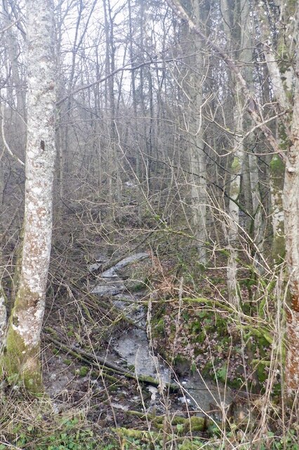
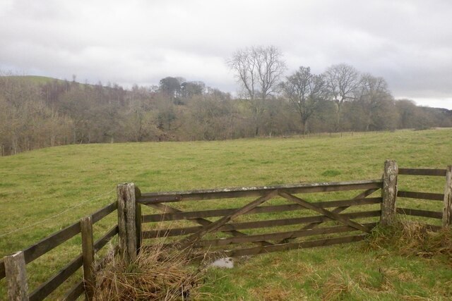
Langtonheight Plantation Images

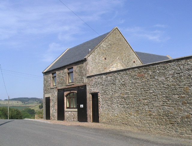
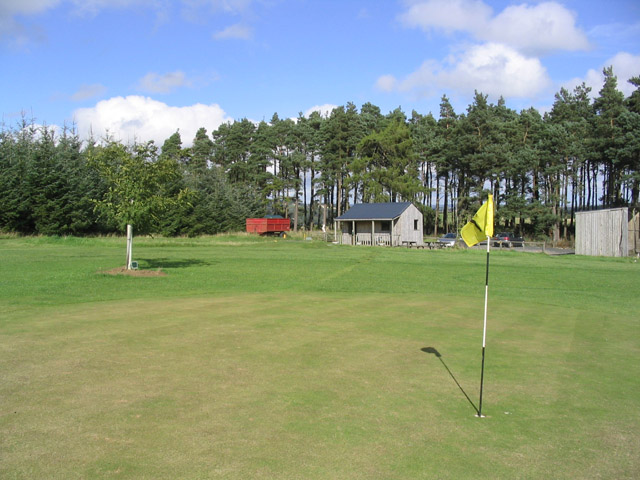
Images are sourced within 2km of 55.488806/-2.8010529 or Grid Reference NT4921. Thanks to Geograph Open Source API. All images are credited.

Road junction, Dimpleknowe
Minor road by Hermiston
Hermiston Burn
Hermiston Burn
Field near Synton Mill
Mill Cottage at Dimpleknowe This is a 2 storey former mill that has recently been converted into self catering holiday accommodation
Mill Cottage at Dimpleknowe
This is a 2 storey former mill that has recently been converted into self catering holiday accommodation
The 7th green at Lilliesleaf Golf Course near Dimpleknowe
Sheep near Satchels Farm Taken on a fine February morning with the Eildon Hills in the background.
Sheep near Satchels Farm
Taken on a fine February morning with the Eildon Hills in the background.
Farmland and plantations Blackcraig Plantation is on the left and a larch strip plantation on the right.
Brushwood piles can be seen at a clear fell area.
Farmland and plantations
Blackcraig Plantation is on the left and a larch strip plantation on the right. Brushwood piles can be seen at a clear fell area.
Drove Road This grass track that runs northeast from Groundiston Height to Harelaw, is noted on the Explorer Map as a drove road.
Drove Road
This grass track that runs northeast from Groundiston Height to Harelaw, is noted on the Explorer Map as a drove road.
The Satchels Burn The burn joins the Ale Water to the left of the red bridge in this livestock field.
The Satchels Burn
The burn joins the Ale Water to the left of the red bridge in this livestock field.
Plantation at Dimpleknowe The southeast corner of Edward's Plantation and new tree planting by the road to Satchels Farm. Lilliesleaf 9 hole golf course is in the background.
Plantation at Dimpleknowe
The southeast corner of Edward's Plantation and new tree planting by the road to Satchels Farm. Lilliesleaf 9 hole golf course is in the background.
Farm track To the south of Satchels Farm and taken on a fine February morning.
Farm track
To the south of Satchels Farm and taken on a fine February morning.
Clear fell area Brush piles in a clear fell area at Blackcraig Plantation.
Clear fell area
Brush piles in a clear fell area at Blackcraig Plantation.
Dimpleknowe Dimpleknowe is a small country estate to the east of Ashkirk that offers self catering holiday accommodation, and a nine hole golf course. For more information see:- <span class="nowrap"><a title="www.dimpleknowe.co.uk" rel="nofollow ugc noopener" href="http://www.dimpleknowe.co.uk">Link</a><img style="margin-left:2px;" alt="External link" title="External link - shift click to open in new window" src="https://s1.geograph.org.uk/img/external.png" width="10" height="10"/></span>
Dimpleknowe
Dimpleknowe is a small country estate to the east of Ashkirk that offers self catering holiday accommodation, and a nine hole golf course. For more information see:- LinkExternal link
A small glade by the Satchels Burn Some sheep paths run through this small glade by the Satchels Burn between Dimpleknowe and Hermiston.
A small glade by the Satchels Burn
Some sheep paths run through this small glade by the Satchels Burn between Dimpleknowe and Hermiston.
A hungry pond This pond at Dimpleknowe likes to be fed golf balls.  Lillesleaf Golf Course.
A hungry pond
This pond at Dimpleknowe likes to be fed golf balls. Lillesleaf Golf Course.
Minor road crossing the Hermiston Burn The steep sides of the burn are wooded (left of road).
Minor road crossing the Hermiston Burn
The steep sides of the burn are wooded (left of road).
Looking Northeast to  the Blackcraig Plantation
Looking Northeast to the Blackcraig Plantation
Show me another place!

Langtonheight Plantation is located at Grid Ref: NT4921 (Lat: 55.488806, Lng: -2.8010529)

Unitary Authority: The Scottish Borders

Police Authority: The Lothians and Scottish Borders

What 3 Words

///observes.surfer.congested. Near Selkirk, Scottish Borders

Related Wikis

Bowismiln

Bowismiln is a village in the Scottish Borders area of Scotland. == See also == List of places in the Scottish Borders List of places in Scotland ��2...

Ashkirk

Ashkirk is a small village on the Ale Water, in the Scottish Borders area of Scotland. It is located just off the A7 road, approximately 6 miles (10 kilometres...

Woll

Woll is a village on the Ale Water, off the A7, in the Ettrick Forest, north of Hawick, and south of Selkirk in the Scottish Borders area of Scotland....

Salenside

Salenside is a village off the A7, on the Ale Water, near Ashkirk, in the Scottish Borders area of Scotland, in the former Selkirkshire. There was a Salenside...

Nearby Amenities

Located within 500m of 55.488806,-2.8010529
Natural: peak
Lat/Long: 55.4932211/-2.7998083
Power: tower
Lat/Long: 55.4925864/-2.7987566
Power: tower
Lat/Long: 55.490586/-2.7988272
Power: tower
Lat/Long: 55.488541/-2.7988994
Power: tower
Lat/Long: 55.4864743/-2.7989724
The data included in this document is from www.openstreetmap.org. The data is made available under ODbL.

Have you been to Langtonheight Plantation?

Leave your review of Langtonheight Plantation below (or comments, questions and feedback).