Corbie's Tongue
Wood, Forest in Aberdeenshire
Scotland
Corbie's Tongue
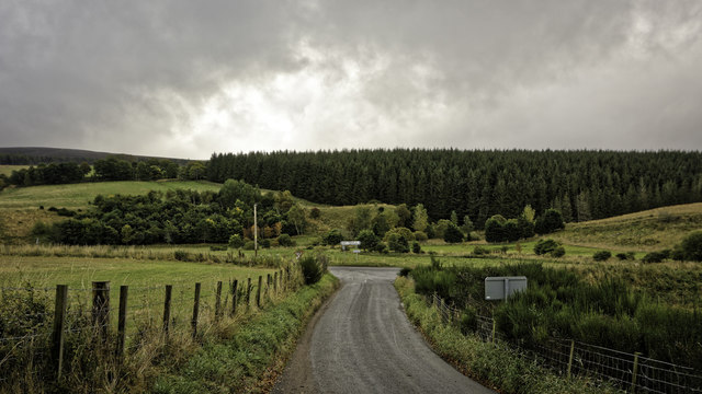
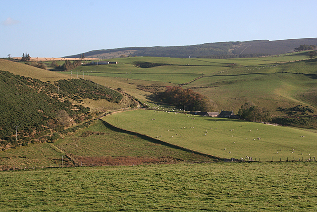
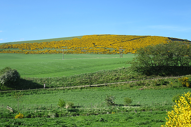
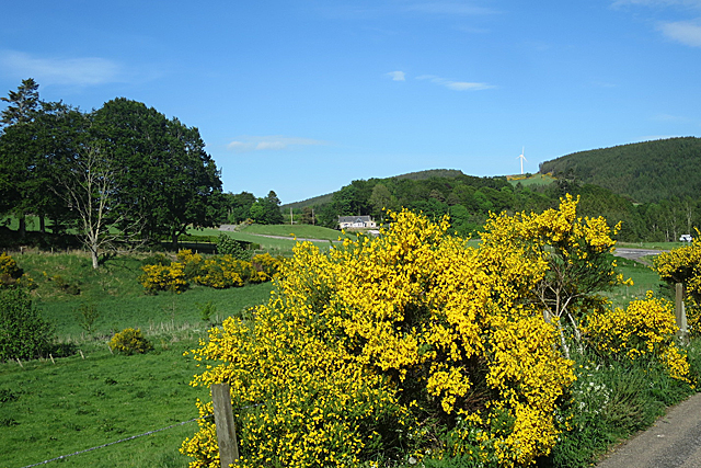
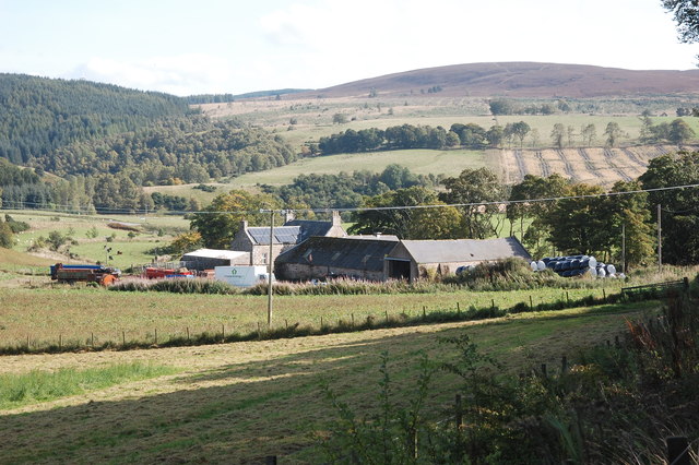
Corbie's Tongue is a picturesque woodland located in Aberdeenshire, Scotland. Nestled amidst the rolling hills and lush greenery, this enchanting forest is a haven for nature lovers and outdoor enthusiasts.
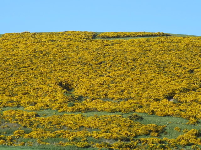
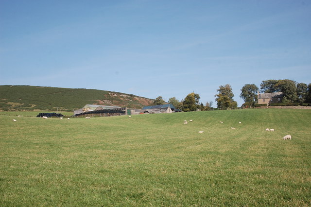
Covering an area of approximately 100 acres, Corbie's Tongue is predominantly composed of native Scottish woodland species, including oak, birch, and pine trees. The forest's rich biodiversity is home to a diverse range of flora and fauna, making it a paradise for wildlife enthusiasts. Visitors may encounter red squirrels, roe deer, and a variety of bird species while exploring the forest trails.
The woodland is crisscrossed by a network of well-maintained walking paths, allowing visitors to immerse themselves in the tranquility of nature. These paths cater to different levels of difficulty, making it accessible for both casual strollers and more experienced hikers. Along the way, visitors can enjoy stunning views of the surrounding countryside, as well as the babbling streams that meander through the forest.
Corbie's Tongue also boasts several picnic areas, providing a perfect spot for visitors to relax and enjoy a meal amidst the natural beauty. The forest is a popular destination for families, offering ample space for children to play and explore.
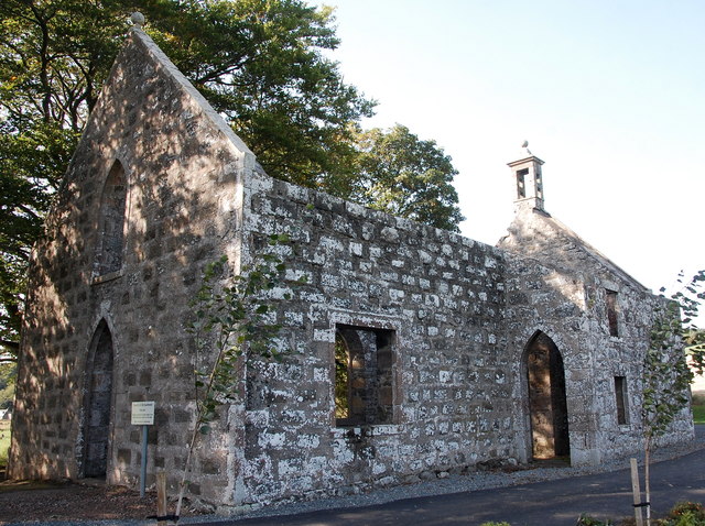
For those interested in history, Corbie's Tongue is steeped in folklore and legends, adding an element of mystique to the woodland. Local tales and stories have been passed down through generations, adding an extra layer of enchantment to the visitor's experience.
In conclusion, Corbie's Tongue is a captivating woodland in Aberdeenshire, offering a serene escape from the hustle and bustle of everyday life. With its diverse flora and fauna, well-maintained trails, and rich history, it is a must-visit destination for nature enthusiasts and those seeking a peaceful retreat.
If you have any feedback on the listing, please let us know in the comments section below.
Corbie's Tongue Images
Images are sourced within 2km of 57.306587/-2.8430445 or Grid Reference NJ4924. Thanks to Geograph Open Source API. All images are credited.


Corbie's Tongue is located at Grid Ref: NJ4924 (Lat: 57.306587, Lng: -2.8430445)
Unitary Authority: Aberdeenshire
Police Authority: North East
What 3 Words
///recitals.waving.fame. Near Alford, Aberdeenshire
Nearby Locations
Related Wikis
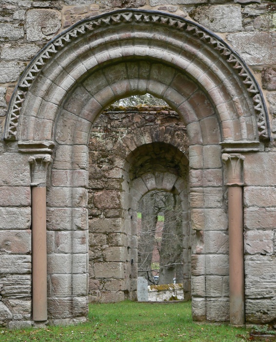
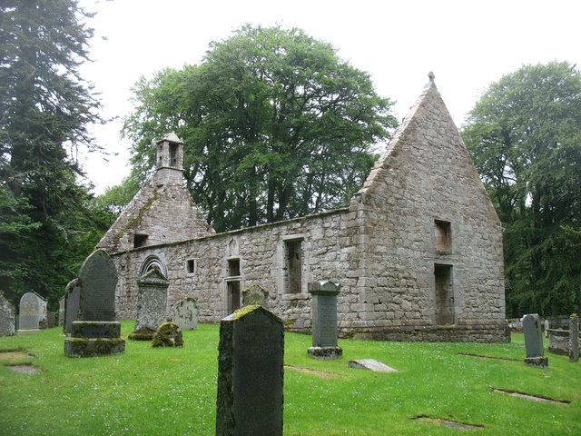
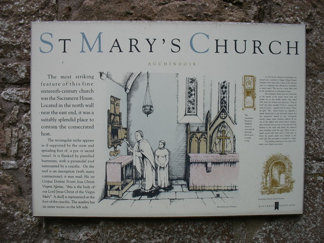
St Mary's Kirk, Auchindoir
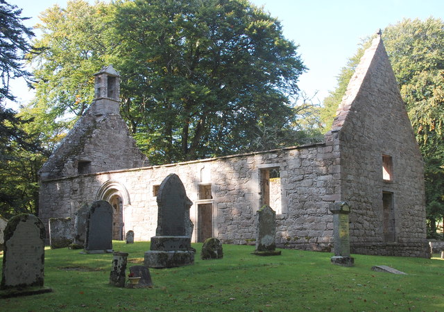
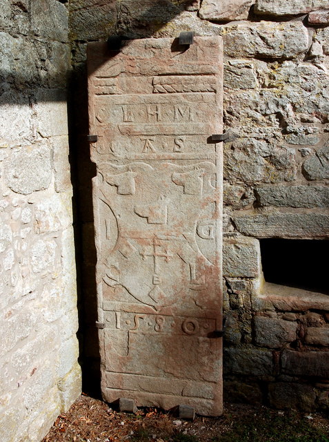
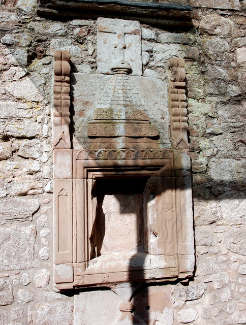
St Mary's Kirk at Auchindoir, between Rhynie and Lumsden, in Aberdeenshire, Scotland, is one of the country's finest surviving medieval parish kirks. The...

Druminnor Castle
Druminnor Castle is an L-plan castle, dating from the early 15th century, about two miles east of Rhynnie, in a steep valley by the Keron burn, in Aberdeenshire...

Rhynie, Aberdeenshire
Rhynie () (Scottish Gaelic: Roinnidh) is a village in Aberdeenshire, Scotland. It is on the A97 road, 14 miles (23 km) northwest of Alford. The Rhynie...
Lumsden, Aberdeenshire
Lumsden is an inland village in Aberdeenshire, Scotland on the A97 road. == Location == It crowns a rising-ground 227 m (745 ft) above sea level amid a...
Rhynie chert
The Rhynie chert is a Lower Devonian sedimentary deposit exhibiting extraordinary fossil detail or completeness (a Lagerstätte). It is exposed near the...

Lesmoir Castle
Lesmoir Castle was a 16th-century castle, about 2.0 miles (3.2 km) west of Rhynie, Aberdeenshire, Scotland, south-west of Tap o' Noth, at Mains of Lesmoir...
Clova Monastery
Clova Monastery (also called Cloveth) was a medieval Culdee monastery in Kildrummy, Aberdeenshire, Scotland. == Founding == Clova was founded in the late...

Clatt
Clatt (Gaelic cleithe, 'concealed'), is a village in Aberdeenshire, Scotland. The remains of a morthouse are located in the cemetery of the old church...
Nearby Amenities
Located within 500m of 57.306587,-2.8430445Have you been to Corbie's Tongue?
Leave your review of Corbie's Tongue below (or comments, questions and feedback).