Stouslie Covert
Wood, Forest in Roxburghshire
Scotland
Stouslie Covert
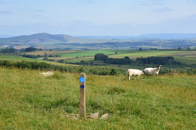
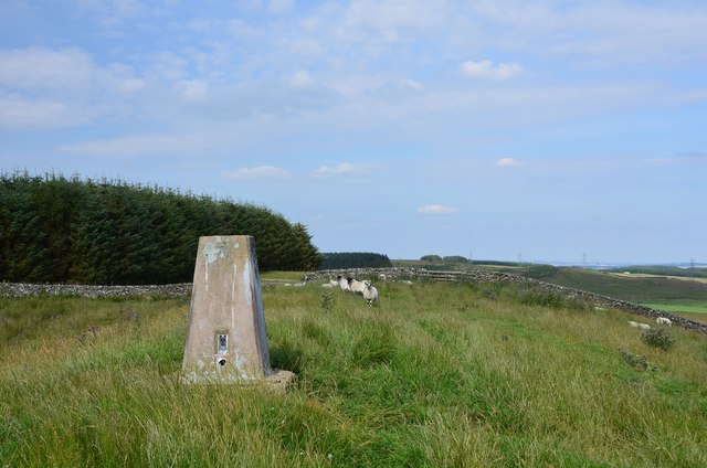
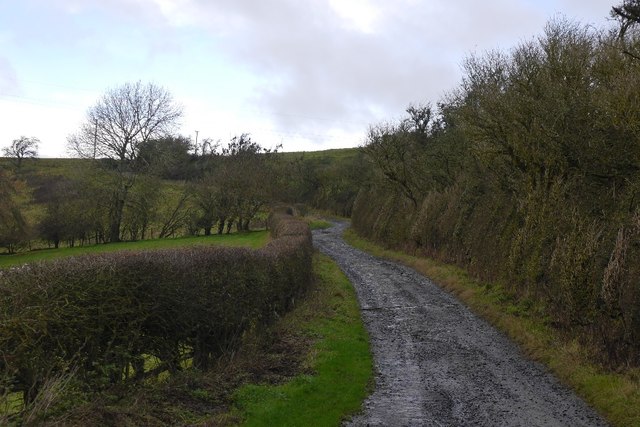
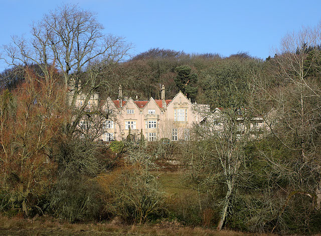
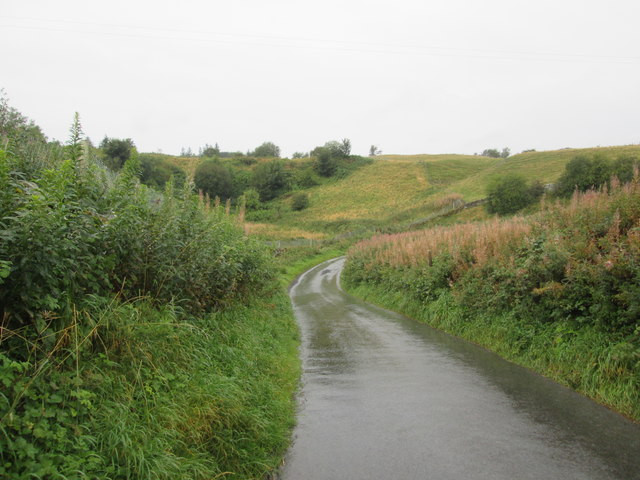
Stouslie Covert, located in Roxburghshire, is a picturesque woodland area known for its natural beauty and rich biodiversity. Situated in the Scottish Borders region, the covert covers a vast expanse of land, offering a serene environment for nature enthusiasts and outdoor enthusiasts alike.
The woodland is predominantly composed of native tree species such as oak, birch, and pine, creating a diverse and vibrant ecosystem. The thick canopy provides a sheltered habitat for a variety of bird species, including woodpeckers, owls, and thrushes, making it a popular spot for birdwatching enthusiasts.
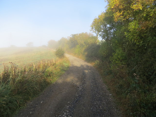
Walking trails wind their way through the woodland, offering visitors the opportunity to explore and immerse themselves in the tranquility of nature. The paths are well-maintained, making it accessible for both experienced hikers and casual walkers. Along the way, visitors may encounter an array of wildflowers, ferns, and mosses, adding to the scenic beauty of the area.
Stouslie Covert is also home to a range of wildlife, including red squirrels, deer, and foxes. The diverse ecosystem provides a rich food source and habitat for these animals, making it a haven for wildlife enthusiasts and nature photographers.
The woodland is managed and protected by local conservation organizations, ensuring the preservation of its natural beauty for future generations to enjoy. Stouslie Covert offers a peaceful retreat from the hustle and bustle of everyday life, allowing visitors to reconnect with nature and experience the tranquility of a pristine woodland environment.
If you have any feedback on the listing, please let us know in the comments section below.
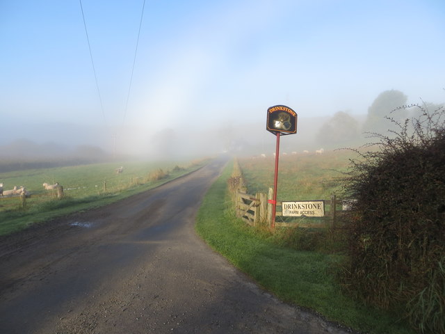
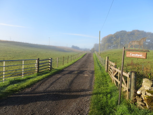
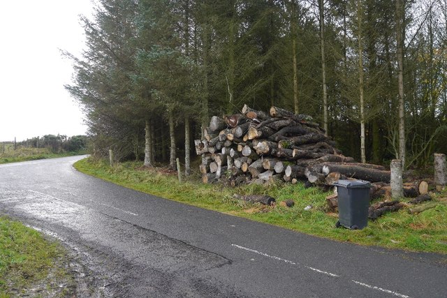
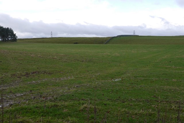
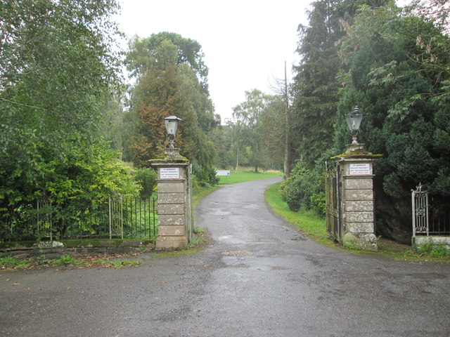
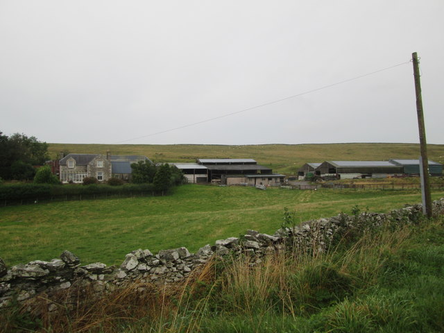
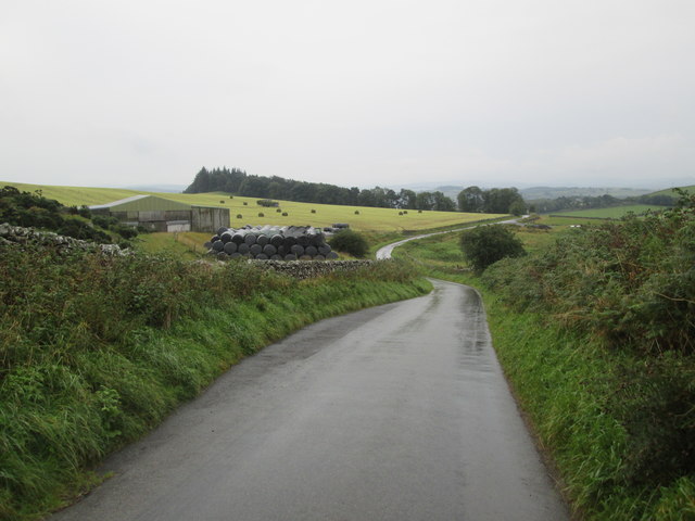
Stouslie Covert Images
Images are sourced within 2km of 55.445879/-2.8040875 or Grid Reference NT4917. Thanks to Geograph Open Source API. All images are credited.

Stouslie Covert is located at Grid Ref: NT4917 (Lat: 55.445879, Lng: -2.8040875)
Unitary Authority: The Scottish Borders
Police Authority: The Lothians and Scottish Borders
What 3 Words
///ballooned.hoaxes.forum. Near Hawick, Scottish Borders
Nearby Locations
Related Wikis

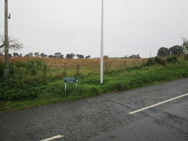
Stirches
Stirches is an area of Hawick in the Scottish Borders, mostly consisting of ex-council housing built in 1973. It is often considered to be one of the more...

Hawick railway station
Hawick railway station served the town of Hawick, Scottish Borders, Scotland from 1849 to 1969 on the Waverley Route. == History == The first station opened...

Hawick Library
Hawick Library is housed in the building built in 1904 in Hawick and it was one of the many libraries funded by Andrew Carnegie. The library is a Category...
Wilton Dean
Wilton Dean is a village in the Scottish Borders area of Scotland, on the Cala Burn, and close to the River Teviot. Along with Stirches and...
Burnfoot, Hawick
Burnfoot (Scottish Gaelic: Bun na h-Aibhne, Scots: Burnfit) is a housing estate just east of the A7, in the northern part of Hawick, by the Boonraw Burn...

Hawick Community Hospital
Hawick Community Hospital is a health facility at Victoria Road in Hawick, Scotland. It is managed by NHS Borders. == History == The hospital was commissioned...
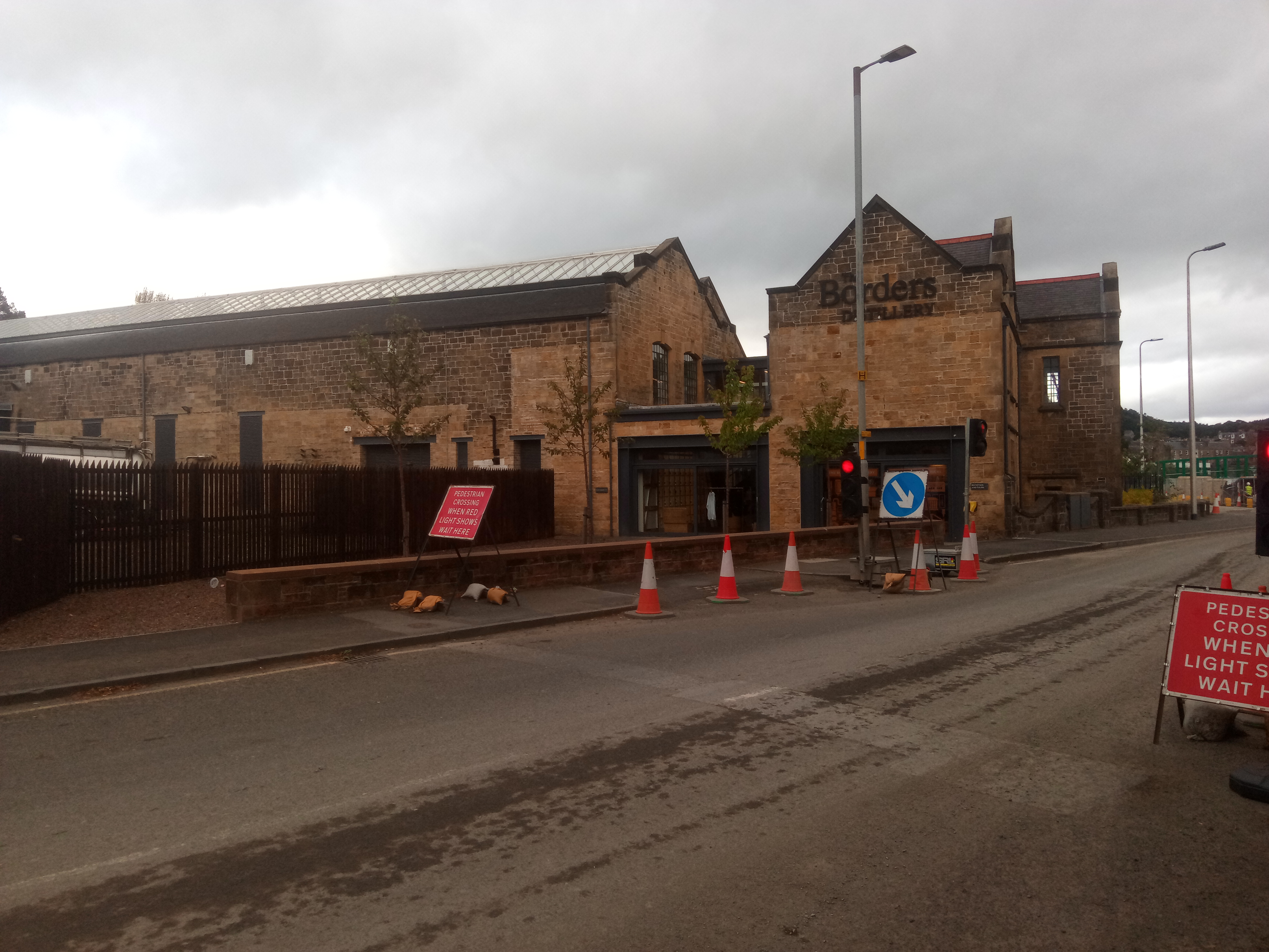
Borders distillery
The Borders distillery, is a malt whisky, gin and vodka production facility in the Scottish Borders town of Hawick. The distillery produces malt whisky...
Hawick High School
Hawick High School is a non-denominational secondary school in Hawick, in the Scottish Borders. As well as serving the town, it also takes in pupils from...
Nearby Amenities
Located within 500m of 55.445879,-2.8040875Have you been to Stouslie Covert?
Leave your review of Stouslie Covert below (or comments, questions and feedback).