Long Strip
Wood, Forest in Berwickshire
Scotland
Long Strip

Long Strip is a woodland area located in Berwickshire, a historic county in the southeast of Scotland. It is known for its dense forest cover and natural beauty, attracting nature enthusiasts and outdoor adventurers alike.
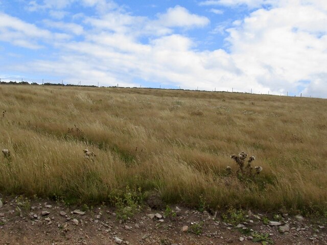
Covering an area of approximately 500 acres, Long Strip is predominantly composed of mixed woodland, with a variety of tree species including oak, beech, birch, and pine. The diverse vegetation provides a habitat for numerous plant and animal species, making it a haven for biodiversity. Visitors can expect to encounter a range of bird species, such as woodpeckers, owls, and finches, as well as small mammals like squirrels and rabbits.
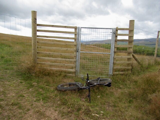
The woodland offers several walking trails and paths, allowing visitors to explore its beauty at their own pace. These trails are well-maintained and offer breathtaking views of the surrounding countryside. For those seeking a more immersive experience, camping facilities are available, allowing visitors to spend a night under the starry sky and wake up to the sound of birdsong.
Long Strip is also a popular destination for nature photography, offering endless opportunities to capture stunning images of the forest's flora and fauna. The changing seasons bring different colors and moods to the woodland, making it a picturesque location throughout the year.
Overall, Long Strip in Berwickshire is a hidden gem for nature lovers, providing a tranquil escape from the hustle and bustle of everyday life. Its lush woodland, diverse wildlife, and scenic trails make it a must-visit destination for anyone seeking a true natural retreat.
If you have any feedback on the listing, please let us know in the comments section below.
Long Strip Images
Images are sourced within 2km of 55.720257/-2.821418 or Grid Reference NT4847. Thanks to Geograph Open Source API. All images are credited.


Long Strip is located at Grid Ref: NT4847 (Lat: 55.720257, Lng: -2.821418)
Unitary Authority: The Scottish Borders
Police Authority: The Lothians and Scottish Borders
What 3 Words
///careful.unfilled.shimmered. Near Lauder, Scottish Borders
Nearby Locations
Related Wikis

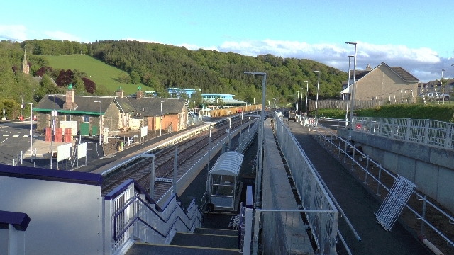
Lauder railway station
Lauder railway station served the town of Lauder, Berwickshire, Scotland, from 1901 to 1958. It was situated on the Lauder Light Railway. == History... ==

Stow of Wedale Town Hall
Stow of Wedale Town Hall is a municipal building in Earlston Road, Stow of Wedale, Scottish Borders, Scotland. The structure, which serves as a community...

Stow of Wedale
Stow of Wedale, or more often Stow, is a village in the Scottish Borders area of Scotland (historically Midlothian), 7 miles (11 kilometres) north of...
Stow railway station
Stow is a railway station on the Borders Railway, which runs between Edinburgh Waverley and Tweedbank. The station, situated 26 miles 45 chains (43 km...
Have you been to Long Strip?
Leave your review of Long Strip below (or comments, questions and feedback).