Cefn-eurgain
Settlement in Flintshire
Wales
Cefn-eurgain
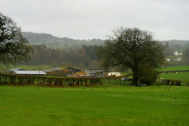
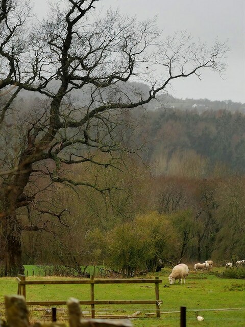
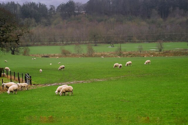
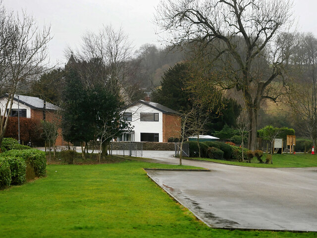
Cefn-eurgain is a small village located in Flintshire, Wales. Situated just a few miles from the town of Mold, it is surrounded by picturesque countryside and offers a peaceful rural setting. The village is primarily residential, with a close-knit community and a population of around 500 residents.
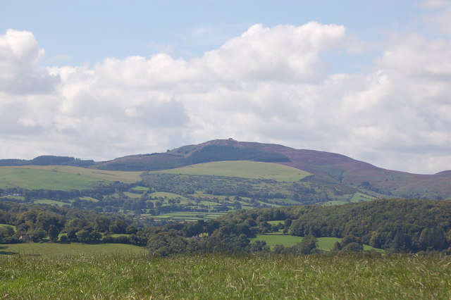
The name "Cefn-eurgain" derives from the Welsh language, with "cefn" meaning "ridge" and "eurgain" being a personal name. This suggests that the village is situated on a ridge, which is indeed the case. The elevated position provides stunning views of the surrounding landscape, including the Clwydian Range, which is a designated Area of Outstanding Natural Beauty.
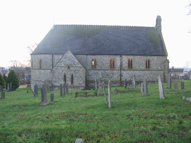
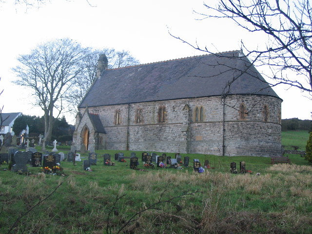
Despite its small size, Cefn-eurgain has a rich history dating back many centuries. The village is home to several historic buildings, including a beautiful 16th-century church, St. Mary's, which is a Grade II listed structure. The church showcases architectural details from different periods, making it an interesting site for history enthusiasts.
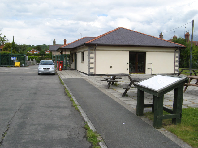
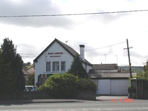
In terms of amenities, Cefn-eurgain has a few local shops and services to cater to the needs of its residents. For more extensive shopping and leisure activities, the nearby town of Mold offers a wider range of facilities, including supermarkets, restaurants, and a leisure center.
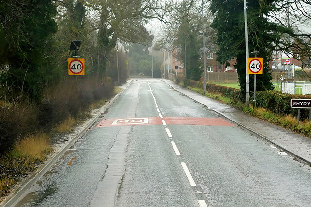
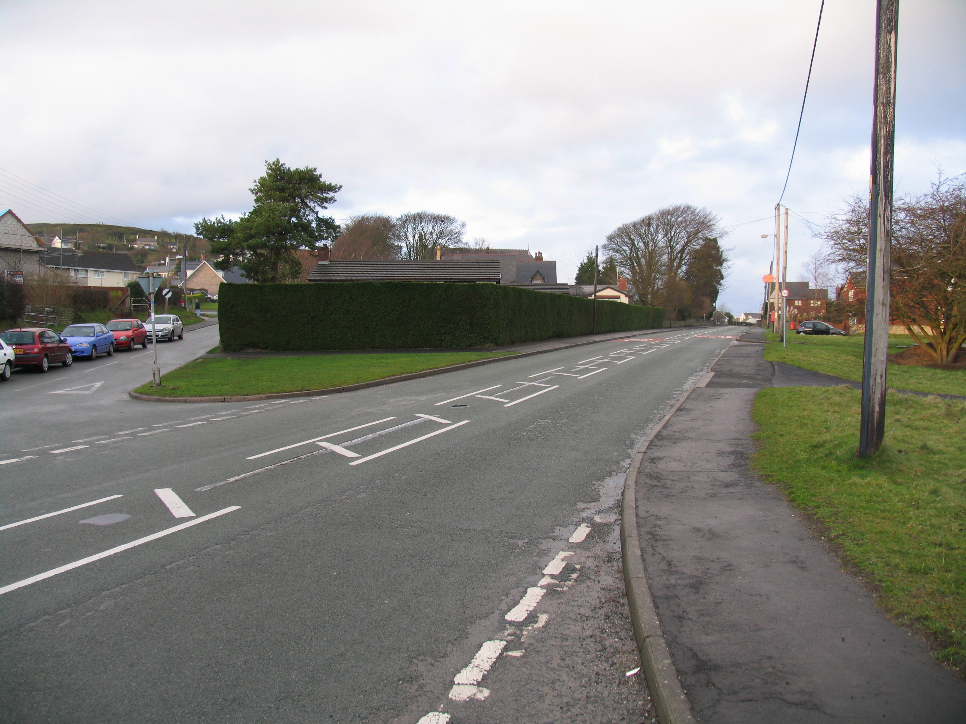
Cefn-eurgain is well-connected to the surrounding areas via road networks, with easy access to major routes such as the A494 and A55. This makes it convenient for residents to commute to nearby towns and cities for work or leisure.
Overall, Cefn-eurgain is a charming village with a strong sense of community, beautiful rural surroundings, and a rich historical heritage.
If you have any feedback on the listing, please let us know in the comments section below.
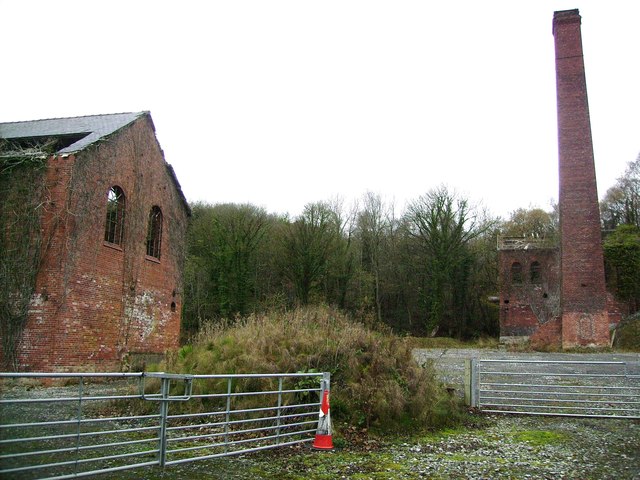
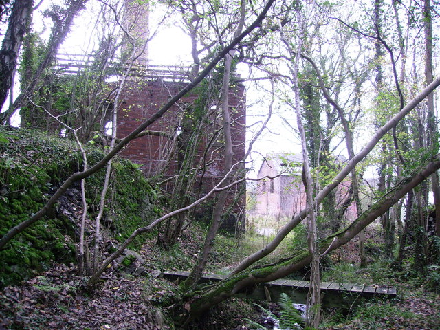
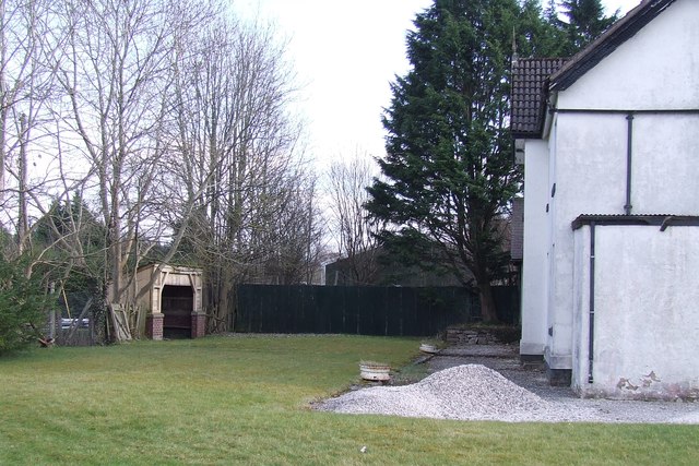
Cefn-eurgain Images
Images are sourced within 2km of 53.19434/-3.1689585 or Grid Reference SJ2267. Thanks to Geograph Open Source API. All images are credited.
Cefn-eurgain is located at Grid Ref: SJ2267 (Lat: 53.19434, Lng: -3.1689585)
Unitary Authority: Flintshire
Police Authority: North Wales
What 3 Words
///instead.mixers.contracting. Near Northop, Flintshire
Nearby Locations
Related Wikis

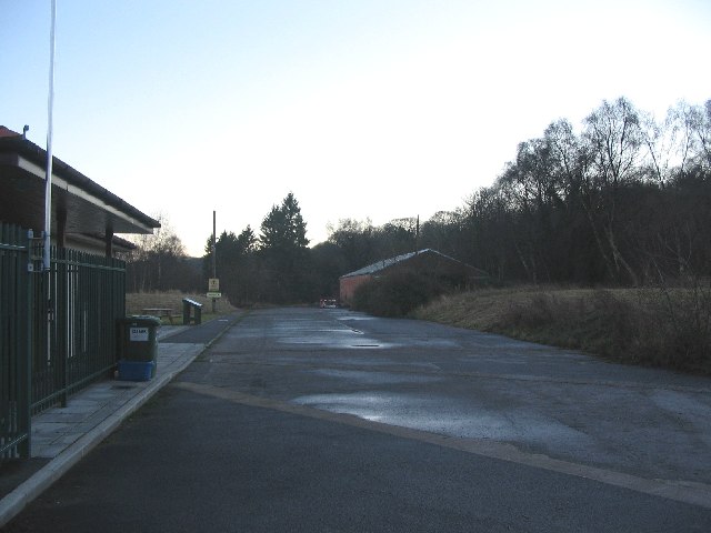
Rhydymwyn railway station
Rhydymwyn railway station was a station in Rhydymwyn, Flintshire, Wales. The station was opened on 6 September 1869, closed to passengers on 30 April 1962...

Rhydymwyn F.C.
Rhydymwyn F.C. is a football club from Rhydymwyn, Wales. They play in the North East Wales Football League in the tier five Championship Division. Their...
Rhosesmor
Rhosesmor is a small village near Mold, Flintshire, in north-east Wales. The village lies near the parishes of Halkyn and Rhes-y-cae. The hamlet of Wern...
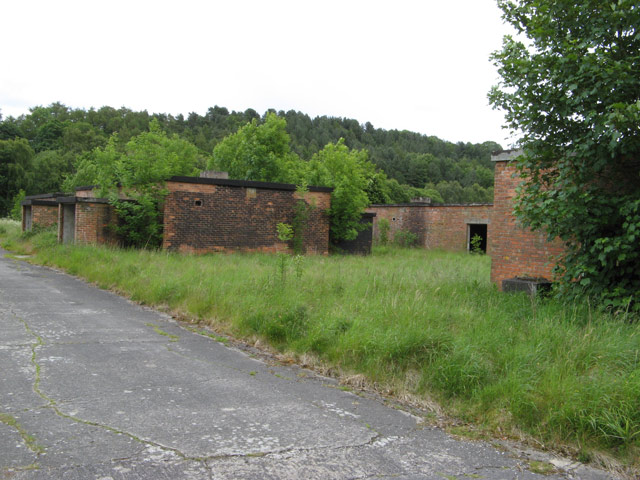
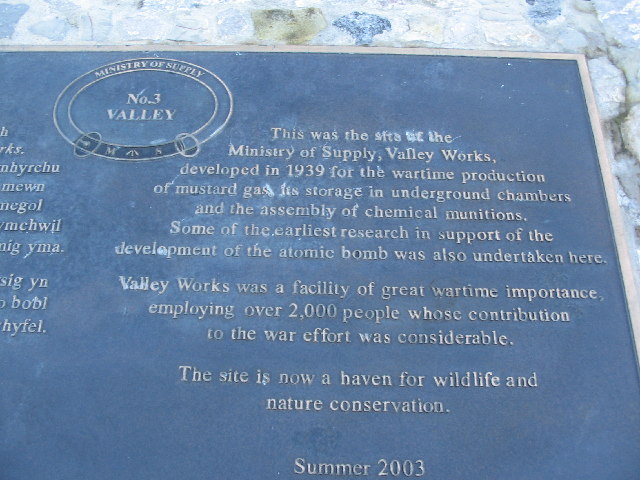
M. S. Factory, Valley
The M.S. (Ministry of Supply) Factory, Valley was a Second World War site in Rhydymwyn, Flintshire, Wales, that was used for the storage and production...
Nearby Amenities
Located within 500m of 53.19434,-3.1689585Have you been to Cefn-eurgain?
Leave your review of Cefn-eurgain below (or comments, questions and feedback).