Coed Cefn

Wood, Forest in Flintshire

Wales

Coed Cefn

A55 near Northop
A55 near Northop Credit: Colin Pyle

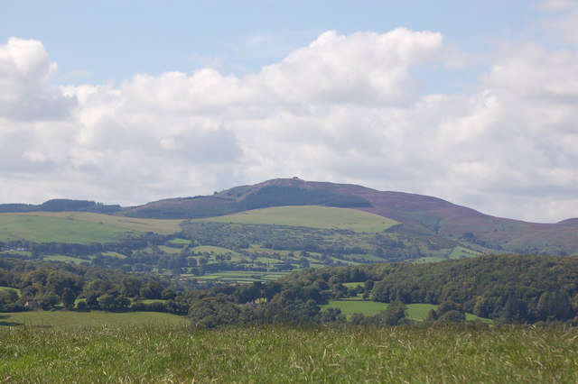
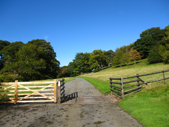
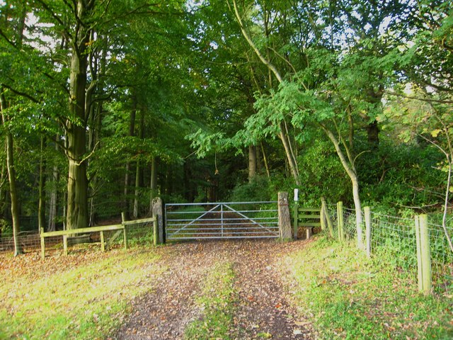
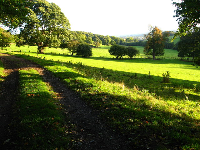
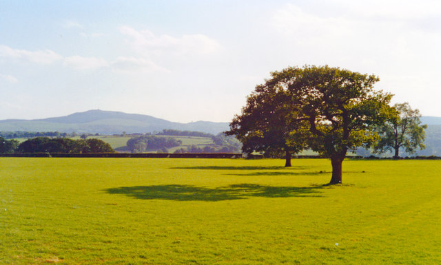
Coed Cefn is a picturesque woodland area located in Flintshire, Wales. Covering an area of approximately 100 acres, it is a diverse and thriving forest that offers a tranquil escape to nature enthusiasts and hikers alike.

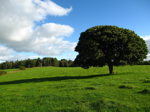
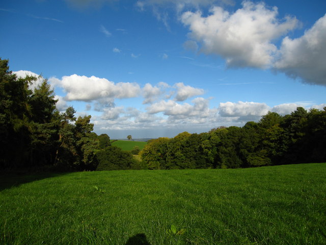
The woodland is characterized by its lush greenery, towering trees, and vibrant wildlife. It is home to a variety of tree species, including oak, beech, birch, and conifers, creating a rich and diverse ecosystem. The forest floor is carpeted with a vibrant array of wildflowers and ferns, adding to its natural beauty.

Coed Cefn offers a network of well-maintained trails, allowing visitors to explore the woodland at their own pace. These trails wind through the forest, providing opportunities for leisurely walks, jogging, or cycling. Along the way, visitors can enjoy breathtaking views of the surrounding countryside and may even spot some of the local wildlife, such as deer, badgers, foxes, and a wide variety of bird species.

The woodland is also an important habitat for a variety of plant and animal species. It has been designated as a Site of Special Scientific Interest (SSSI) due to its ecological significance. Conservation efforts are in place to protect the biodiversity of the area and ensure its sustainability for future generations.

Coed Cefn is a popular destination for nature lovers, families, and photographers seeking a peaceful and scenic retreat. With its stunning natural beauty, diverse wildlife, and well-maintained trails, it provides an ideal setting for outdoor activities and a welcome escape from the hustle and bustle of everyday life.

If you have any feedback on the listing, please let us know in the comments section below.

Coed Cefn Images

Images are sourced within 2km of 53.201213/-3.1564353 or Grid Reference SJ2267. Thanks to Geograph Open Source API. All images are credited.

A55 near Northop
A55 near Northop
Soughton Hall Built as a Bishop's Palace in 1714, Soughton Hall was the home to a succession of heirs in the Wynne-Bankes family line. It is now a luxury hotel see <span class="nowrap"><a title="http://www.soughtonhall.co.uk/home" rel="nofollow ugc noopener" href="http://www.soughtonhall.co.uk/home">Link</a><img style="margin-left:2px;" alt="External link" title="External link - shift click to open in new window" src="https://s1.geograph.org.uk/img/external.png" width="10" height="10"/></span>
Soughton Hall
Built as a Bishop's Palace in 1714, Soughton Hall was the home to a succession of heirs in the Wynne-Bankes family line. It is now a luxury hotel see LinkExternal link
Moel Famau and Clwyd range from Rhosesmor
Bench mark on a house in Sychdyn This Ordnance Survey bench mark is on the corner of the house at the acute junction of Main Road and Tan-yr-Ysgol. The mark first appears on the 1961 O.S. map, when the mark on the Cross Keys pub opposite disappears. For details of the mark see: <span class="nowrap"><a title="http://www.bench-marks.org.uk/bm42814" rel="nofollow ugc noopener" href="http://www.bench-marks.org.uk/bm42814">Link</a><img style="margin-left:2px;" alt="External link" title="External link - shift click to open in new window" src="https://s1.geograph.org.uk/img/external.png" width="10" height="10"/></span>
Bench mark on a house in Sychdyn
This Ordnance Survey bench mark is on the corner of the house at the acute junction of Main Road and Tan-yr-Ysgol. The mark first appears on the 1961 O.S. map, when the mark on the Cross Keys pub opposite disappears. For details of the mark see: LinkExternal link
B5126 at Coleg Cambria, Northop
Horse paddocks at Colleg Cambria, Northop
Riding arena at Colleg Cambria, Northop
Coed-y-cra Farm on Maes Celyn, from Colleg Cambria, Northop
Northop: aerial 2015
Along the drive to Gwysaney Hall This is a footpath along a private driveway
Along the drive to Gwysaney Hall
This is a footpath along a private driveway
Large field west of Ram Wood The large sychamore is all that remains of a field boundary shown on the Ordnance Survey Map.  The footpath exits on the left
Large field west of Ram Wood
The large sychamore is all that remains of a field boundary shown on the Ordnance Survey Map. The footpath exits on the left
Field between Coed Bryn-eithin and Coed Cae-crwn woods From the footpath across this field, you can see Liverpool on the horizon.
Field between Coed Bryn-eithin and Coed Cae-crwn woods
From the footpath across this field, you can see Liverpool on the horizon.
Footpath along track into Big Wood
Footpath, field and trees beside Bryn-cae-Tudur Wood There is a lovely view from here to the town of Mold
Footpath, field and trees beside Bryn-cae-Tudur Wood
There is a lovely view from here to the town of Mold
West view to Moel Famau from near Northop, 1994 As seen from the A541 Mold - Flint road at about 7 miles SW is the prominent peak (1,820 ft.) in the Halkyn range .
West view to Moel Famau from near Northop, 1994
As seen from the A541 Mold - Flint road at about 7 miles SW is the prominent peak (1,820 ft.) in the Halkyn range .
Old Milestone by the B5126, Northop Carved stone post on the B5126 in the Community of Northop, Flintshire, village centre against wall, South side of road, junction with A5119. Flint 'D' stone, 19th century. 

Inscription reads:-
: Holywell / 6¼ Miles : : Chester / 11 Miles : 

Grade II Listed by CADW. List reference: 25680
<span class="nowrap"><a title="https://cadwpublic-api.azurewebsites.net/reports/listedbuilding/FullReport?lang=&id=25680" rel="nofollow ugc noopener" href="https://cadwpublic-api.azurewebsites.net/reports/listedbuilding/FullReport?lang=&id=25680">Link</a><img style="margin-left:2px;" alt="External link" title="External link - shift click to open in new window" src="https://s1.geograph.org.uk/img/external.png" width="10" height="10"/></span>

Milestone Society National ID: FLT_HOCH06.
Old Milestone by the B5126, Northop
Carved stone post on the B5126 in the Community of Northop, Flintshire, village centre against wall, South side of road, junction with A5119. Flint 'D' stone, 19th century. Inscription reads:- : Holywell / 6¼ Miles : : Chester / 11 Miles : Grade II Listed by CADW. List reference: 25680 LinkExternal link Milestone Society National ID: FLT_HOCH06.
Weathered bench mark on Northop church This weathered bench mark is just south of the tower door on the church of St Eurgain and St Peter, Northop.  See also <a href="https://www.geograph.org.uk/photo/5547220">SJ2468 : The tower door of St Eurgain and St Peter, Northop</a>
Weathered bench mark on Northop church
This weathered bench mark is just south of the tower door on the church of St Eurgain and St Peter, Northop. See also SJ2468 : The tower door of St Eurgain and St Peter, Northop
Show me another place!

Coed Cefn is located at Grid Ref: SJ2267 (Lat: 53.201213, Lng: -3.1564353)

Unitary Authority: Flintshire

Police Authority: North Wales

What 3 Words

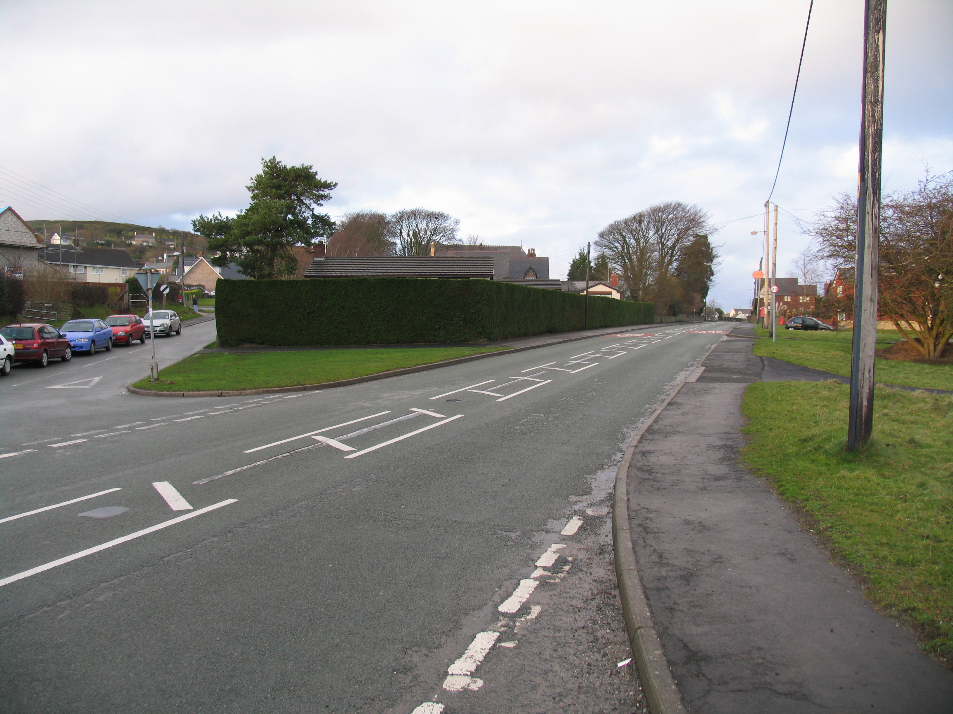
///mastering.alert.wordplay. Near Northop, Flintshire

Related Wikis

Northop College

Northop College in Flintshire, North Wales is jointly operated by Glyndwr University and Coleg Cambria. Formerly known as the Welsh College of Horticulture...

Rhosesmor

Rhosesmor is a small village near Mold, Flintshire, in north-east Wales. The village lies near the parishes of Halkyn and Rhes-y-cae. The hamlet of Wern...

Sychdyn

Sychdyn or Soughton (meaning South Town) is a village in Flintshire, Wales. It is situated on the A5119 road, and is just over 1000 yards (1 km) north...

Northop

Northop (Welsh: Llaneurgain) is a village, community and electoral ward situated in Flintshire, Wales, approximately 12 miles west of the city of Chester...

Nearby Amenities

Located within 500m of 53.201213,-3.1564353
Ford: yes
Lat/Long: 53.1973922/-3.1577542
Barrier: stile
Lat/Long: 53.2020884/-3.1498786
Ford: yes
Lat/Long: 53.1969261/-3.1565384
The data included in this document is from www.openstreetmap.org. The data is made available under ODbL.

Have you been to Coed Cefn?

Leave your review of Coed Cefn below (or comments, questions and feedback).