Chance Inn Wood

Wood, Forest in Fife

Scotland

Chance Inn Wood

A915 - turn off to Cameron Kirk
A915 - turn off to Cameron Kirk Credit: Becky Williamson

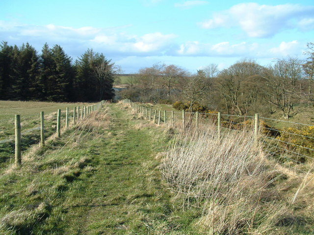
Chance Inn Wood is a picturesque forest located in Fife, Scotland. Covering an area of approximately 100 hectares, this wood is a haven for nature enthusiasts and offers a tranquil escape from the hustle and bustle of everyday life.

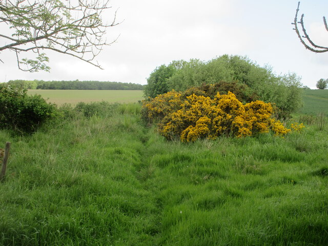
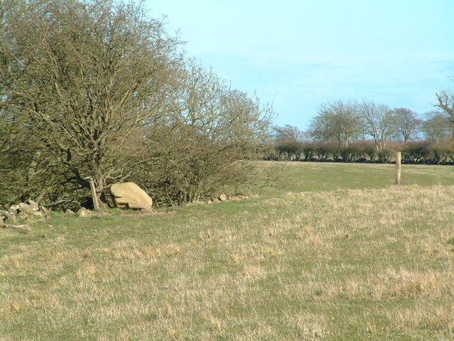
The wood is primarily composed of native tree species such as oak, birch, and beech, creating a diverse and vibrant ecosystem. The dense canopy provides a cool shelter during the summer months and a stunning display of colors during the autumn season. The forest floor is adorned with a rich carpet of wildflowers, including bluebells and primroses, adding to the beauty of the wood.

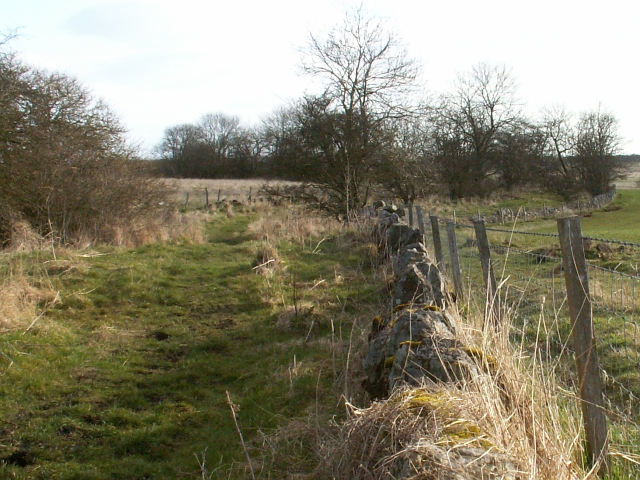
Numerous walking trails wind through Chance Inn Wood, allowing visitors to explore the natural wonders at their own pace. These well-maintained paths offer breathtaking views of the surrounding countryside and lead to secluded spots where one can enjoy a picnic or simply sit and absorb the peaceful ambiance.

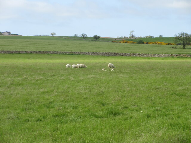
The wood is also home to a variety of wildlife, including red squirrels, roe deer, and a diverse range of bird species. Birdwatchers can spot woodpeckers, owls, and even the occasional golden eagle soaring above the treetops.

Chance Inn Wood is not only a haven for nature lovers but also serves as an important educational resource. Visitors can learn about the different tree species and the woodland ecosystem through informative signs and interpretive displays.

Overall, Chance Inn Wood is a hidden gem in Fife, offering a serene environment for visitors to connect with nature and enjoy the beauty of the Scottish countryside.

If you have any feedback on the listing, please let us know in the comments section below.

Chance Inn Wood Images

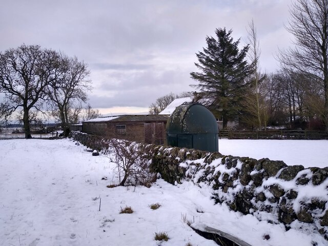
Images are sourced within 2km of 56.282039/-2.8357031 or Grid Reference NO4810. Thanks to Geograph Open Source API. All images are credited.

A915 - turn off to Cameron Kirk
Small observatory at Kirkton of Radernie A stylish wind turbine is right next to it, outside the frame of the picture.
Small observatory at Kirkton of Radernie
A stylish wind turbine is right next to it, outside the frame of the picture.
Faint path from Cameron to Denhead Section of path from Cameron heading north through an overgrown section of scrub.
Faint path from Cameron to Denhead
Section of path from Cameron heading north through an overgrown section of scrub.
Sheep and lambs Sheep with lambs in a field south of Cameron Reservoir.
Sheep and lambs
Sheep with lambs in a field south of Cameron Reservoir.
Scrubland south of Cameron Reservoir Gorse and scrub near a burn south of Cameron Reservoir.
Scrubland south of Cameron Reservoir
Gorse and scrub near a burn south of Cameron Reservoir.
Cameron Reservoir Looking over Cameron Reservoir from the eastern end.
Cameron Reservoir
Looking over Cameron Reservoir from the eastern end.
Cameron Kirk Looking to the church at Cameron from the south-eastern corner of the kirkyard.
Cameron Kirk
Looking to the church at Cameron from the south-eastern corner of the kirkyard.
A915 Milestone Milestone with rusting cast-iron cap in the undergrowth by the A915 six miles south of St Andrews.
A915 Milestone
Milestone with rusting cast-iron cap in the undergrowth by the A915 six miles south of St Andrews.
C41 and A915 junction The C41 (Fife) road meeting the A915 near Lathockar.
C41 and A915 junction
The C41 (Fife) road meeting the A915 near Lathockar.
Heathland near Lathockar Looking south from the C41 road to heathland near Lathockar.
Heathland near Lathockar
Looking south from the C41 road to heathland near Lathockar.
Cameron Looking out from Cameron Church Yard and across the Cameron burn, snaking its way from right to left. The trees on the skyline mark the route of A915 St Andrews to Largoward road  just outside this square.
Cameron
Looking out from Cameron Church Yard and across the Cameron burn, snaking its way from right to left. The trees on the skyline mark the route of A915 St Andrews to Largoward road just outside this square.
East Dam, Cameron reservoir Looking South across the main dam of Cameron Reservoir which supplies water to St Andrews some 6ks to the North. It stands about 145 mts above sea level.
East Dam, Cameron reservoir
Looking South across the main dam of Cameron Reservoir which supplies water to St Andrews some 6ks to the North. It stands about 145 mts above sea level.
Lathockar House The ruins of this once fairly large house lie right on the edge of some very nice parkland.
Lathockar House
The ruins of this once fairly large house lie right on the edge of some very nice parkland.
Wester Gilmerton Lands by Wester Gilmerton. Looking due South by Lochaber, Priorletham in the trees right of skyline.
Wester Gilmerton
Lands by Wester Gilmerton. Looking due South by Lochaber, Priorletham in the trees right of skyline.
North Bank farm North bank farm by Cameron, a dairy farm that still works.
North Bank farm
North bank farm by Cameron, a dairy farm that still works.
By Easter Radernie Ex farm track now a footpath between Radernie and Cameron.
By Easter Radernie
Ex farm track now a footpath between Radernie and Cameron.
Footpath from Radernie The northern end of the footpath leading from Radernie to Cameron. Cameron Reservoir is visible through the trees in the background.
Footpath from Radernie
The northern end of the footpath leading from Radernie to Cameron. Cameron Reservoir is visible through the trees in the background.
Boulder by the trees An erratic(?) boulder on the edge of a ravine south of Cameron Reservoir
Boulder by the trees
An erratic(?) boulder on the edge of a ravine south of Cameron Reservoir
Show me another place!

Chance Inn Wood is located at Grid Ref: NO4810 (Lat: 56.282039, Lng: -2.8357031)

Unitary Authority: Fife

Police Authority: Fife

What 3 Words

///colonies.submitted.creatures. Near St Andrews, Fife

Nearby Locations

Chance Inn Wood

Related Wikis

Cameron, Fife

Cameron is a parish in east Fife, Scotland, 3½ miles south-west of St Andrews. It is bounded on the north by the parish of St Andrews, on the east by Dunino...

Riggin o Fife

The Riggin o Fife is an upland area of Fife, Scotland which runs eastward from the Markinch Gap and the Howe of Fife to form the elevated hinterland to...
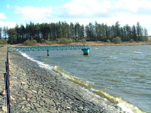
Cameron Reservoir

Cameron Reservoir is an artificial loch in the parish of Cameron in east Fife, Scotland. Covering an area of 69 hectares, it serves as a domestic water...

Lathones

Lathones (/lə'θonz/) is a village in Fife, Scotland, located approximately six miles (10 km) south west of St Andrews, in the parish of Cameron in the...

Nearby Amenities

Located within 500m of 56.282039,-2.8357031
Power: pole
Lat/Long: 56.2809909/-2.8389598
Power: pole
Lat/Long: 56.281766/-2.8387139
Power: pole
Lat/Long: 56.2825557/-2.8384909
Location: pole
Power: transformer
Lat/Long: 56.2833357/-2.8382591
Power: pole
Lat/Long: 56.2802031/-2.8391895
Material: wood
Power: pole
Lat/Long: 56.2793886/-2.8394389
Power: pole
Lat/Long: 56.2786069/-2.8405601
Power: pole
Lat/Long: 56.2835773/-2.8387321
Power: pole
Lat/Long: 56.284413/-2.838394
Power: pole
Lat/Long: 56.2852145/-2.8380577
Location: pole
Power: transformer
Lat/Long: 56.286035/-2.8377379
The data included in this document is from www.openstreetmap.org. The data is made available under ODbL.

Have you been to Chance Inn Wood?

Leave your review of Chance Inn Wood below (or comments, questions and feedback).