Wester Muir

Wood, Forest in Aberdeenshire

Scotland

Wester Muir

Road by Clashindarroch
Road by Clashindarroch Credit: Peter Bond

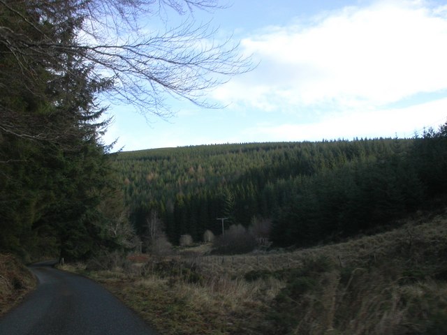
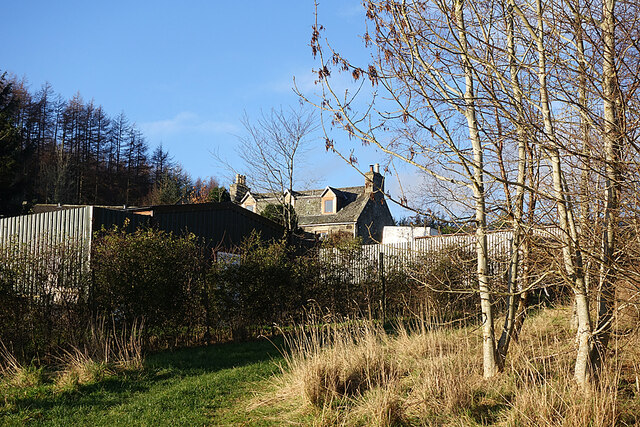
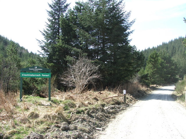
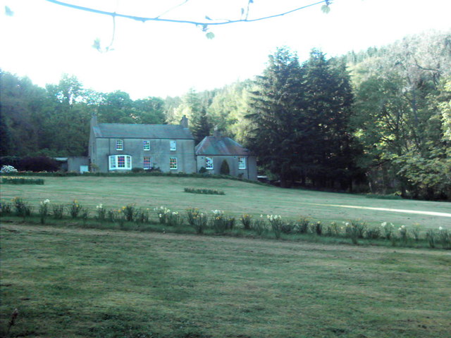
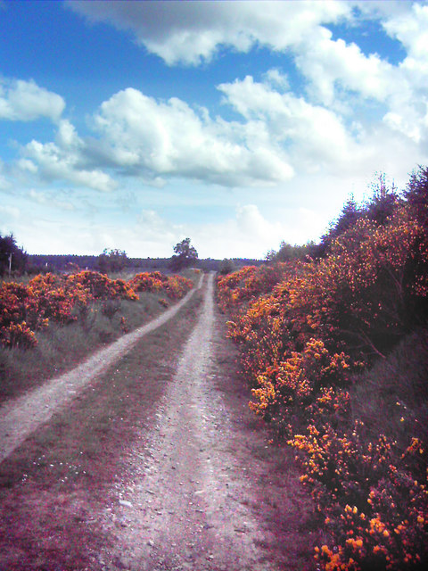
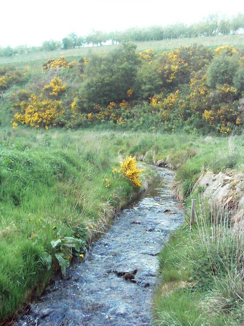
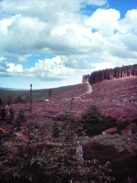
Wester Muir is a picturesque woodland area located in Aberdeenshire, Scotland. Covering an extensive area, it is renowned for its stunning natural beauty and rich biodiversity. The forest is situated near the village of Muir of Fowlis, approximately 15 miles northwest of the city of Aberdeen.

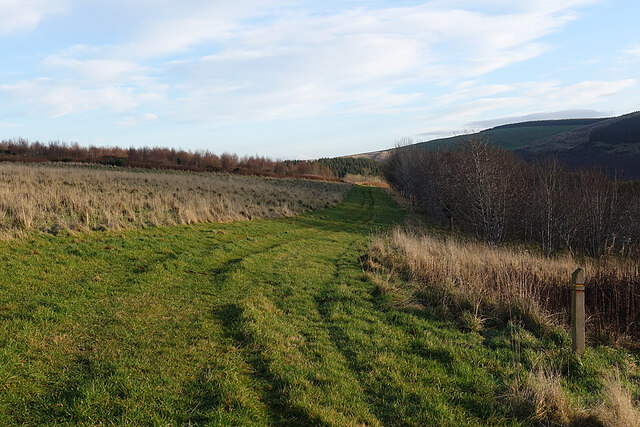
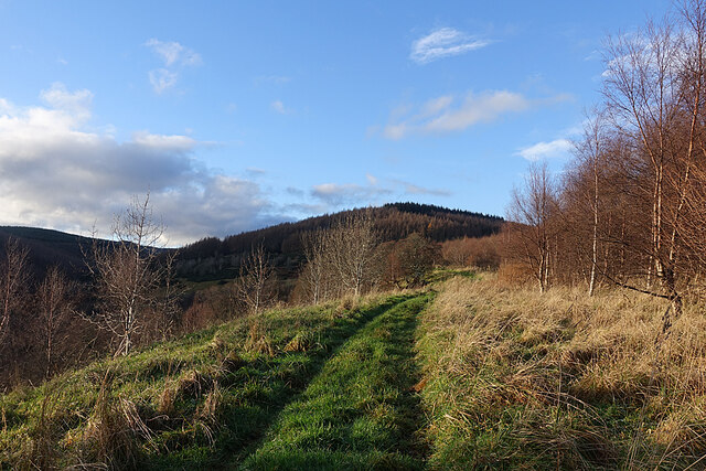
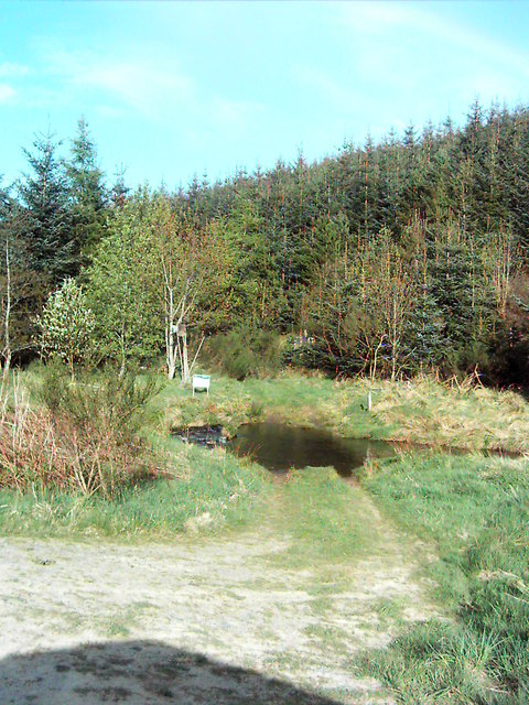
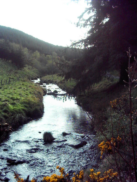
The woodland is predominantly composed of native tree species, such as oak, birch, and pine, creating a diverse and vibrant ecosystem. The forest floor is adorned with a carpet of wildflowers, adding to the area's enchanting charm. Walking trails wind their way through the woods, allowing visitors to explore the area and immerse themselves in its tranquil ambiance.

Wester Muir offers a haven for wildlife, with numerous species calling the forest their home. Deer, red squirrels, and a variety of bird species can often be spotted among the trees. The area is particularly renowned for its birdlife, attracting birdwatchers from far and wide.

The forest is not only a haven for nature enthusiasts, but also offers recreational opportunities for visitors. It is a popular destination for hiking, cycling, and picnicking. The well-maintained trails provide options for both leisurely strolls and more challenging hikes.

In conclusion, Wester Muir in Aberdeenshire is a captivating woodland area that offers a wealth of natural beauty and recreational opportunities. Whether one seeks a peaceful escape in nature or an active adventure, Wester Muir is sure to provide a memorable experience for all who visit.

If you have any feedback on the listing, please let us know in the comments section below.
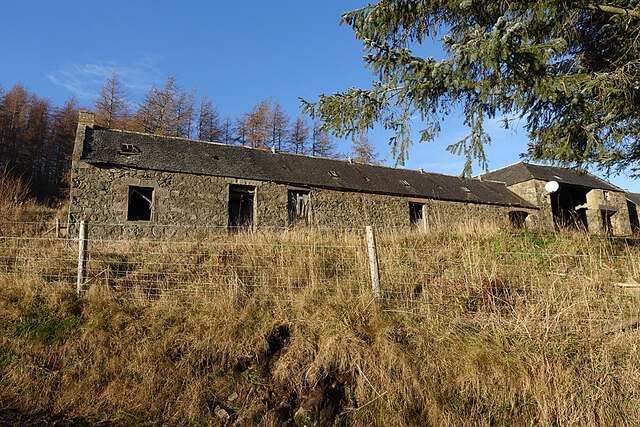
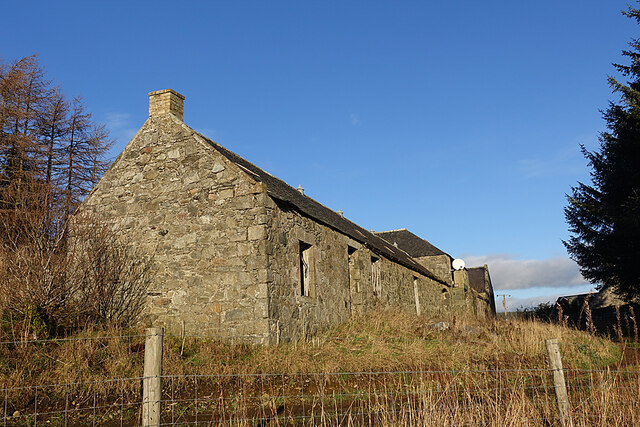
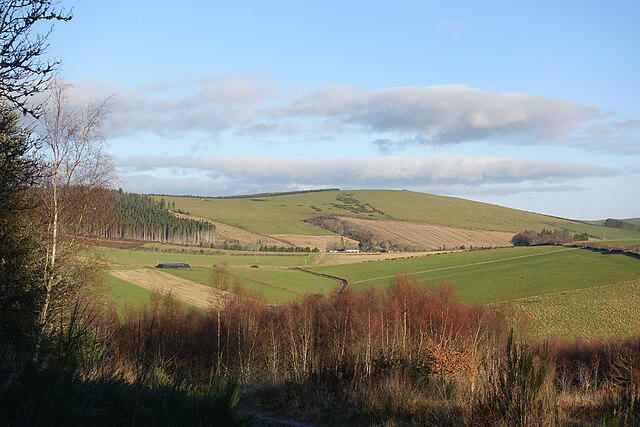
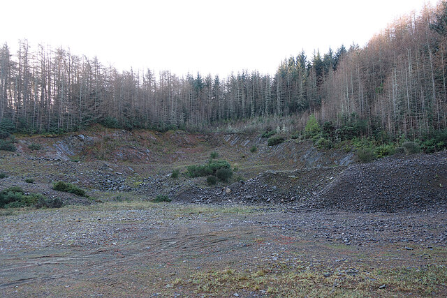
Wester Muir Images

Images are sourced within 2km of 57.378757/-2.8695306 or Grid Reference NJ4732. Thanks to Geograph Open Source API. All images are credited.

Road by Clashindarroch
Grass Track on The Drum On the right is the waymarker for the two short trails on The Drum.
Grass Track on The Drum
On the right is the waymarker for the two short trails on The Drum.
Trails on the Drum The trails on The Drum climb gently towards the forested Hill of Drumfergue.
Trails on the Drum
The trails on The Drum climb gently towards the forested Hill of Drumfergue.
Track on The Drum Looking back downhill on the waymarked grassy track. The road is in the shade below to the right, so we were glad to have come across the sunny off-road option.
Track on The Drum
Looking back downhill on the waymarked grassy track. The road is in the shade below to the right, so we were glad to have come across the sunny off-road option.
Woods on The Drum This looks like another stand of young deciduous trees planted beside the track as it approaches Drumfergue.
Woods on The Drum
This looks like another stand of young deciduous trees planted beside the track as it approaches Drumfergue.
Drumfergue This is the last farm before the end of the public road and the entrance to the forest. The grassy strip is the route of the waymarked Drumfergue Trail, which turns and descends back to the car park on the otehr side of The Drum.
Drumfergue
This is the last farm before the end of the public road and the entrance to the forest. The grassy strip is the route of the waymarked Drumfergue Trail, which turns and descends back to the car park on the otehr side of The Drum.
Sign at Drumfergue I thought I heard the screech of a falcon as we approached Drumfergue, and the sign, showing a falconer, seems to confirm that this was indeed what I heard.
Sign at Drumfergue
I thought I heard the screech of a falcon as we approached Drumfergue, and the sign, showing a falconer, seems to confirm that this was indeed what I heard.
Steading at Drumfergue Despite sporting a satellite dish and (not visible in this view) a letterbox, the long range of buildings at Drumfergue is obviously disused.
Steading at Drumfergue
Despite sporting a satellite dish and (not visible in this view) a letterbox, the long range of buildings at Drumfergue is obviously disused.
Steading at Drumfergue An end-on view of the abandoned steading, complete with satellite dish.
Steading at Drumfergue
An end-on view of the abandoned steading, complete with satellite dish.
View from above Drumfergue The treeless hilltop is the Hill of Bogairdy, and I think the white building is Whitestones. The road with the bend just above the foreground trees leads down to Easter Tillathrowie, which is concealed by the trees.
View from above Drumfergue
The treeless hilltop is the Hill of Bogairdy, and I think the white building is Whitestones. The road with the bend just above the foreground trees leads down to Easter Tillathrowie, which is concealed by the trees.
Forest Quarry Presumably worked for material to build forest roads.
Forest Quarry
Presumably worked for material to build forest roads.
Clashindarroch Forest Forestry access road to Clashindarroch Forest, home of stage 2 of the Granite City Rally this year (2006), a round of the Scottish Rally Championship.
Clashindarroch Forest
Forestry access road to Clashindarroch Forest, home of stage 2 of the Granite City Rally this year (2006), a round of the Scottish Rally Championship.
Ford A Ford just past Mytice.
Ford
A Ford just past Mytice.
Clashindarroch Clashindarroch house in Clashindarroch Forest.
Clashindarroch
Clashindarroch house in Clashindarroch Forest.
Kirkney Water Kirkney Water, burn taken from the road heading towards Clashindarroch.
Kirkney Water
Kirkney Water, burn taken from the road heading towards Clashindarroch.
The "Road" The "Road" from Corrylair to Drumfergue passable by car if you enjoy off road driving.
The "Road"
The "Road" from Corrylair to Drumfergue passable by car if you enjoy off road driving.
Lag Burn The Lag burn as it flows towards the forest road and then to its meeting with Priest's Water, a tributary of the River Bogie.
Lag Burn
The Lag burn as it flows towards the forest road and then to its meeting with Priest's Water, a tributary of the River Bogie.
Forestry after harvest Forestry after harvest in the foreground and a forestry road climbing the hill back in towards more mature trees on the horizon.
Forestry after harvest
Forestry after harvest in the foreground and a forestry road climbing the hill back in towards more mature trees on the horizon.
Show me another place!

Wester Muir is located at Grid Ref: NJ4732 (Lat: 57.378757, Lng: -2.8695306)

Unitary Authority: Aberdeenshire

Police Authority: North East

What 3 Words

///plenty.requiring.feared. Near Huntly, Aberdeenshire

Nearby Locations

Wester Muir Swanny Hill

Related Wikis

Tap o' Noth

The Tap o' Noth is a hill and fort, 8 miles south of Huntly in Aberdeenshire, Scotland at grid reference NJ485293. It is the second highest fort in Scotland...

Wormy Hillock Henge

Wormy Hillock Henge, also known as The Dragon's Grave, is a small henge in Aberdeenshire, Scotland. It is a Scheduled Ancient Monument located in the Clashindarroch...

Strathbogie, Scotland

Strathbogie (Scottish Gaelic: Srath Bhalgaidh) is the valley of the River Bogie in Aberdeenshire, Scotland. It was formerly a lordship belonging to the...

Gartly

Gartly (Scots: Gairtlie, Scottish Gaelic: Gartaidh) is an inland hamlet in Aberdeenshire, Scotland. It is several miles south of the town of Huntly, and...

Have you been to Wester Muir?

Leave your review of Wester Muir below (or comments, questions and feedback).