Swanny Hill

Hill, Mountain in Aberdeenshire

Scotland

Swanny Hill

Road by Clashindarroch
Road by Clashindarroch Credit: Peter Bond

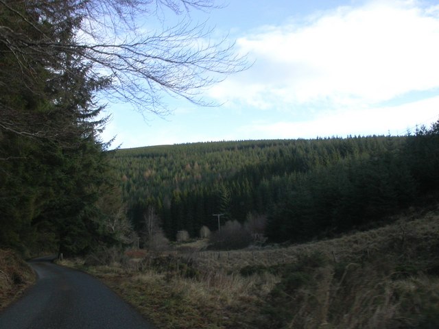
Swanny Hill is a prominent hill located in the picturesque region of Aberdeenshire, Scotland. Rising to an altitude of approximately 457 meters (1,499 feet), it is classified as a hill rather than a mountain. The hill is situated about 10 kilometers southwest of the charming town of Huntly.

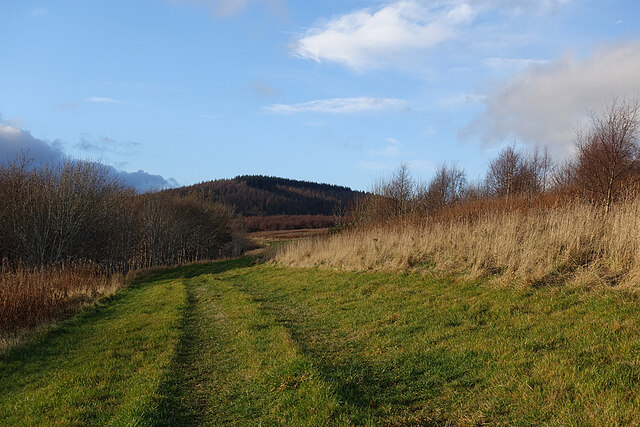
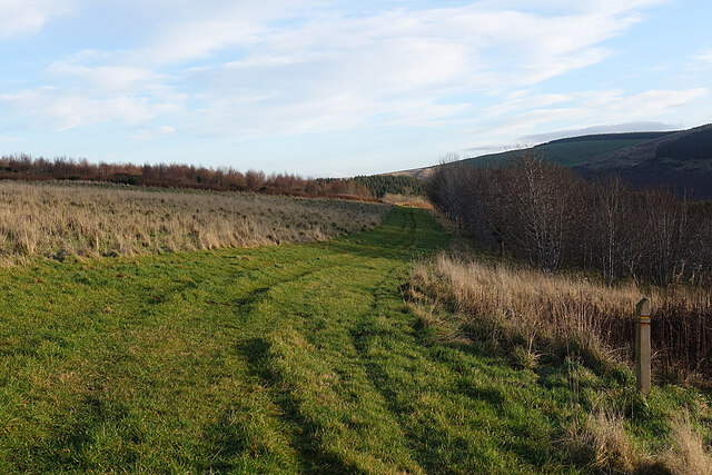
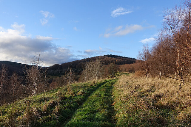
Swanny Hill boasts a distinctive conical shape, making it easily recognizable from its surroundings. It is primarily composed of granite, a characteristic geological feature of the region. The hill is covered in lush green vegetation, with heather and grasses dominating the landscape. This creates a vibrant and scenic view, particularly in the summer months when the hillside is awash with colorful wildflowers.

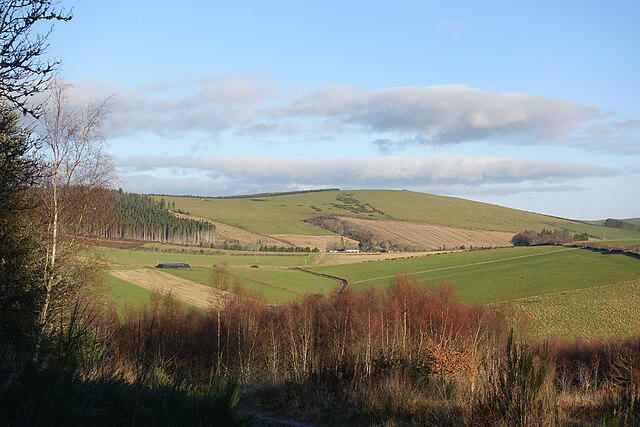
The ascent to the summit of Swanny Hill is relatively straightforward, although it can be quite steep in certain sections. A well-defined path leads hikers through the grassy slopes, occasionally dotted with boulders and outcrops. Upon reaching the top, visitors are rewarded with breathtaking panoramic views of the Aberdeenshire countryside, including rolling hills, fertile farmland, and distant peaks.

Wildlife enthusiasts will also find Swanny Hill to be an attractive destination. The surrounding area is home to a variety of bird species, such as buzzards, kestrels, and pheasants. In addition, red deer and hares can often be spotted grazing on the lower slopes of the hill.

Overall, Swanny Hill offers visitors a captivating blend of natural beauty, stunning vistas, and opportunities for outdoor recreation, making it a must-visit destination for nature lovers and hikers in Aberdeenshire.

If you have any feedback on the listing, please let us know in the comments section below.
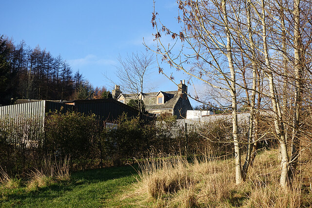
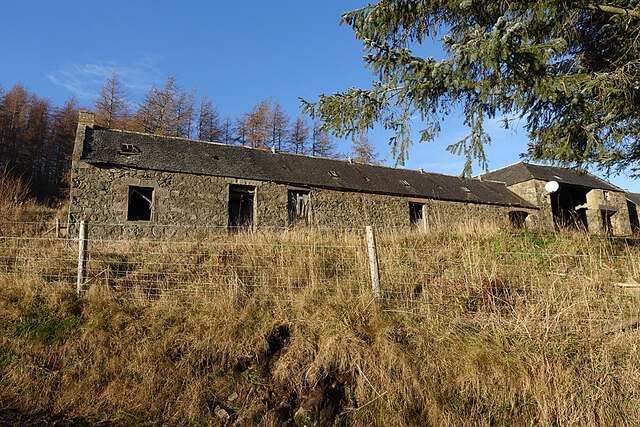
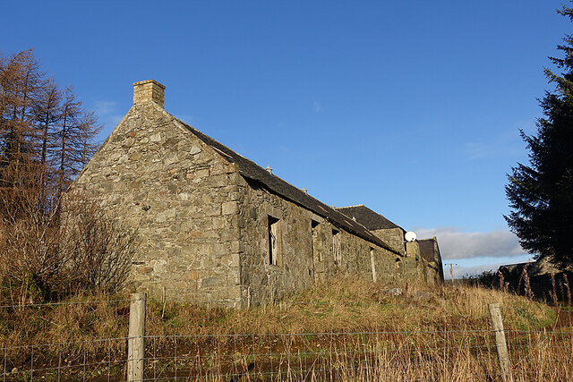
Swanny Hill Images

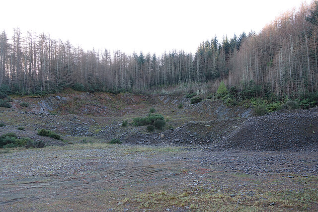
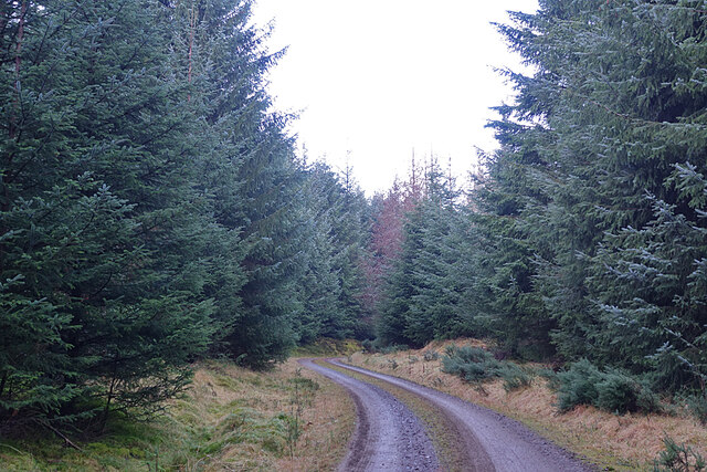
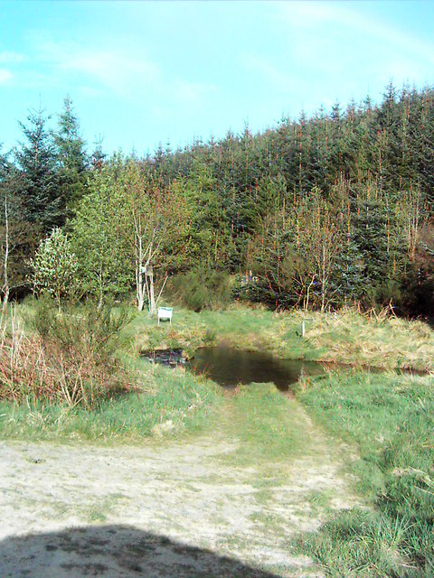
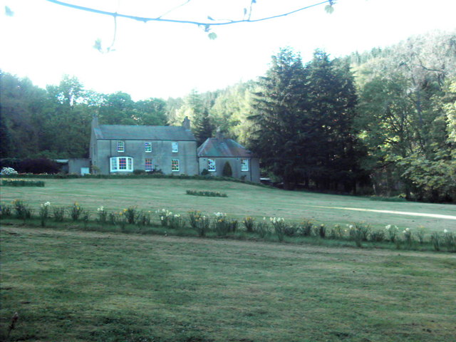
Images are sourced within 2km of 57.381759/-2.8769366 or Grid Reference NJ4732. Thanks to Geograph Open Source API. All images are credited.

Road by Clashindarroch
Grass Track The grass track on the south slope of The Drum, looking towards the Hill of Drumfergue.
Grass Track
The grass track on the south slope of The Drum, looking towards the Hill of Drumfergue.
Grass Track on The Drum On the right is the waymarker for the two short trails on The Drum.
Grass Track on The Drum
On the right is the waymarker for the two short trails on The Drum.
Trails on the Drum The trails on The Drum climb gently towards the forested Hill of Drumfergue.
Trails on the Drum
The trails on The Drum climb gently towards the forested Hill of Drumfergue.
Track on The Drum Looking back downhill on the waymarked grassy track. The road is in the shade below to the right, so we were glad to have come across the sunny off-road option.
Track on The Drum
Looking back downhill on the waymarked grassy track. The road is in the shade below to the right, so we were glad to have come across the sunny off-road option.
Woods on The Drum This looks like another stand of young deciduous trees planted beside the track as it approaches Drumfergue.
Woods on The Drum
This looks like another stand of young deciduous trees planted beside the track as it approaches Drumfergue.
Drumfergue This is the last farm before the end of the public road and the entrance to the forest. The grassy strip is the route of the waymarked Drumfergue Trail, which turns and descends back to the car park on the otehr side of The Drum.
Drumfergue
This is the last farm before the end of the public road and the entrance to the forest. The grassy strip is the route of the waymarked Drumfergue Trail, which turns and descends back to the car park on the otehr side of The Drum.
Sign at Drumfergue I thought I heard the screech of a falcon as we approached Drumfergue, and the sign, showing a falconer, seems to confirm that this was indeed what I heard.
Sign at Drumfergue
I thought I heard the screech of a falcon as we approached Drumfergue, and the sign, showing a falconer, seems to confirm that this was indeed what I heard.
Steading at Drumfergue Despite sporting a satellite dish and (not visible in this view) a letterbox, the long range of buildings at Drumfergue is obviously disused.
Steading at Drumfergue
Despite sporting a satellite dish and (not visible in this view) a letterbox, the long range of buildings at Drumfergue is obviously disused.
Steading at Drumfergue An end-on view of the abandoned steading, complete with satellite dish.
Steading at Drumfergue
An end-on view of the abandoned steading, complete with satellite dish.
View from above Drumfergue The treeless hilltop is the Hill of Bogairdy, and I think the white building is Whitestones. The road with the bend just above the foreground trees leads down to Easter Tillathrowie, which is concealed by the trees.
View from above Drumfergue
The treeless hilltop is the Hill of Bogairdy, and I think the white building is Whitestones. The road with the bend just above the foreground trees leads down to Easter Tillathrowie, which is concealed by the trees.
Forest Quarry Presumably worked for material to build forest roads.
Forest Quarry
Presumably worked for material to build forest roads.
Forest Road on Hill of Drumfergue Plantations of Sitka Spruce on both sides of the road, casting shade on the road.
Forest Road on Hill of Drumfergue
Plantations of Sitka Spruce on both sides of the road, casting shade on the road.
Log Pile by the Road This was one of several piles of logs alongside the forest road in the shade of the Hill of Drumfergue.
Log Pile by the Road
This was one of several piles of logs alongside the forest road in the shade of the Hill of Drumfergue.
Log Piles Some of the piles of logs waiting to be taken away for sale or processing.
Log Piles
Some of the piles of logs waiting to be taken away for sale or processing.
Forest Track The track winds its way through the dense plantations near Corrylair.
Forest Track
The track winds its way through the dense plantations near Corrylair.
Ford A Ford just past Mytice.
Ford
A Ford just past Mytice.
Clashindarroch Clashindarroch house in Clashindarroch Forest.
Clashindarroch
Clashindarroch house in Clashindarroch Forest.
Show me another place!

Swanny Hill is located at Grid Ref: NJ4732 (Lat: 57.381759, Lng: -2.8769366)

Unitary Authority: Aberdeenshire

Police Authority: North East

What 3 Words

///outgrown.gratitude.lock. Near Huntly, Aberdeenshire

Nearby Locations

Swanny Hill Wester Muir

Related Wikis

Wormy Hillock Henge

Wormy Hillock Henge, also known as The Dragon's Grave, is a small henge in Aberdeenshire, Scotland. It is a Scheduled Ancient Monument located in the Clashindarroch...

Tap o' Noth

The Tap o' Noth is a hill and the name of a Pictish hill fort on its summit, 8 miles south of Huntly in Aberdeenshire, Scotland at grid reference NJ485293...

Strathbogie, Scotland

Strathbogie (Scottish Gaelic: Srath Bhalgaidh) is the valley of the River Bogie in Aberdeenshire, Scotland. It was formerly a lordship belonging to the...

Kye Hill

Kye Hill is a hill by Huntly, Aberdeenshire, Scotland. It lies southwest of The Clashmach hill and is nearly the same height. There is a former limestone...

Have you been to Swanny Hill?

Leave your review of Swanny Hill below (or comments, questions and feedback).