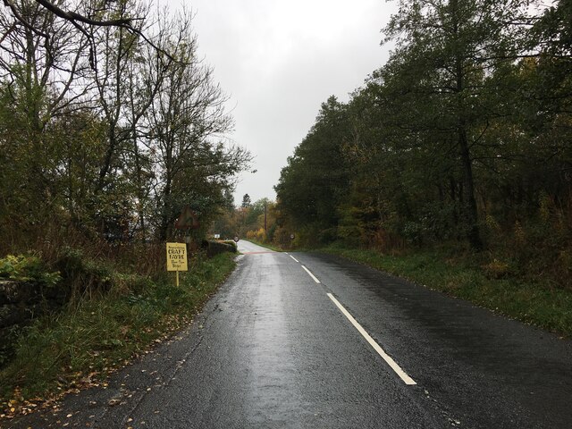
Boosie Plantation
Wood, Forest in Roxburghshire
Scotland
Boosie Plantation
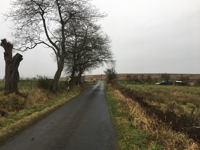
Boosie Plantation, located in Roxburghshire, Scotland, is a sprawling woodland estate encompassing an area of lush forests and picturesque landscapes. The plantation is renowned for its abundant wood resources and serves as a significant hub for forestry activities in the region.
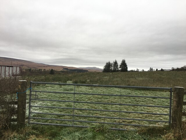
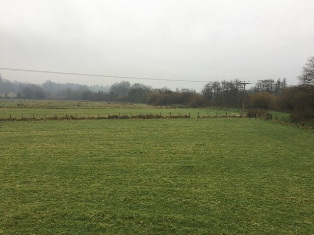
Covering hundreds of hectares, Boosie Plantation boasts a diverse range of tree species, including oak, birch, pine, and beech, creating a vibrant and thriving ecosystem. The plantation's woodland is meticulously managed to ensure the sustainable growth and harvesting of timber, making it a key contributor to the local forestry industry.
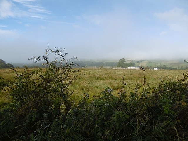
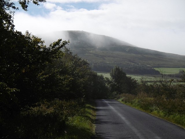
Visitors to Boosie Plantation are treated to breathtaking views of towering trees, dense undergrowth, and meandering streams, providing a serene and tranquil environment for nature enthusiasts and hikers alike. The plantation offers various scenic trails and paths, allowing visitors to immerse themselves in the beauty of the natural surroundings.
Apart from its aesthetic appeal, Boosie Plantation also plays an essential role in conservation efforts. The woodland provides a habitat for a wide range of flora and fauna, including rare and protected species. Conservation projects are undertaken to preserve and enhance the biodiversity of the plantation, making it a haven for wildlife and contributing to the overall ecological balance of the area.
Boosie Plantation is not only a natural gem but also a vital economic asset, generating employment opportunities and supporting the local economy through sustainable forestry practices. Its strategic location and well-maintained infrastructure make it a prime location for timber production and related industries.
In conclusion, Boosie Plantation in Roxburghshire is a magnificent woodland estate that offers visitors a chance to explore and appreciate the beauty of nature. With its rich biodiversity, sustainable forestry practices, and economic contributions, it stands as a testament to the importance of responsible land management and conservation.
If you have any feedback on the listing, please let us know in the comments section below.
Boosie Plantation Images
Images are sourced within 2km of 55.175824/-2.821376 or Grid Reference NY4787. Thanks to Geograph Open Source API. All images are credited.


Boosie Plantation is located at Grid Ref: NY4787 (Lat: 55.175824, Lng: -2.821376)
Unitary Authority: The Scottish Borders
Police Authority: The Lothians and Scottish Borders
What 3 Words
///magically.flop.echo. Near Langholm, Dumfries & Galloway
Nearby Locations
Related Wikis

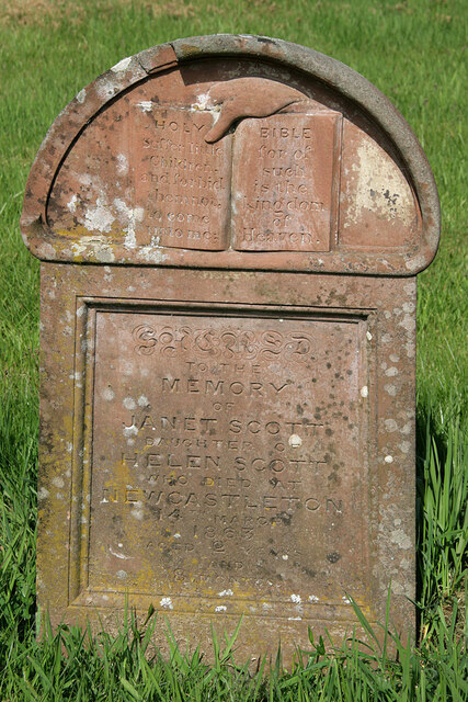
Newcastleton
Newcastleton, also called Copshaw Holm, is a village in Liddesdale, the Scottish Borders, a few miles from the border with England, on the Liddel Water...

Castleton, Scottish Borders
Castleton (Scottish Gaelic: Baile Chaisteil) is a civil parish in the Scottish Borders area of Scotland, in the former Roxburghshire, in the extreme south...

Newcastleton railway station
Newcastleton railway station served the village of Newcastleton, Scottish Borders, Scotland from 1862 to 1969 on the Border Union Railway. == History... ==

Ettleton
Ettleton is a village near Castleton, in the Scottish Borders area of Scotland, in the former Roxburghshire. == Etymology and history == Ettleton Parish...

Mangerton Tower
Mangerton Tower is a ruined Scottish tower castle house formerly belonging to the Armstrong family. Mangerton Tower is at Mangerton in Newcastleton or...

Kershope Burn
Kershope Burn is a small river; a tributary of both the Liddel Water and the River Esk; its final destination is the Solway Firth. The early stages begin...

Liddel Castle
Liddel Castle is a ruined castle in Liddesdale, by the Liddel Water, near Castleton in the Scottish Borders area of Scotland, in the former county of Roxburghshire...
Penton railway station
Penton railway station served the parish of Penton from 1862 to 1969 on the Border Union Railway. == History == The station opened on 1 March 1862 by the...
Nearby Amenities
Located within 500m of 55.175824,-2.821376Have you been to Boosie Plantation?
Leave your review of Boosie Plantation below (or comments, questions and feedback).