Bauds Wood

Wood, Forest in Banffshire

Scotland

Bauds Wood

Beechwood on North East flank of the Bin of Cullen
Beechwood on North East flank of the Bin of Cullen Credit: Neil McWhirr

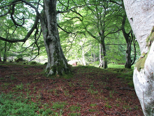
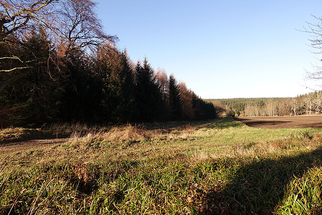
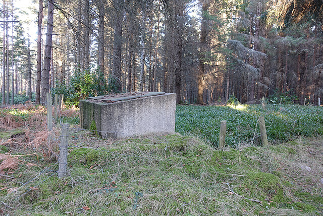
Bauds Wood is a picturesque forest located in Banffshire, Scotland. Covering an area of approximately 200 acres, this woodland is a popular destination for nature enthusiasts and outdoor lovers alike. The forest is situated near the charming village of Fordyce, offering a tranquil escape from the hustle and bustle of everyday life.

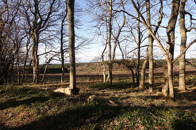
Bauds Wood is predominantly composed of mixed broadleaf trees, including oak, birch, and beech. The dense canopy provides a haven for a variety of wildlife, making it an excellent spot for birdwatching and wildlife spotting. The enchanting woodland floor is adorned with a carpet of bluebells during springtime, creating a truly magical atmosphere.

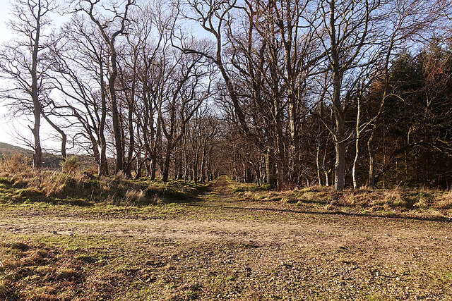
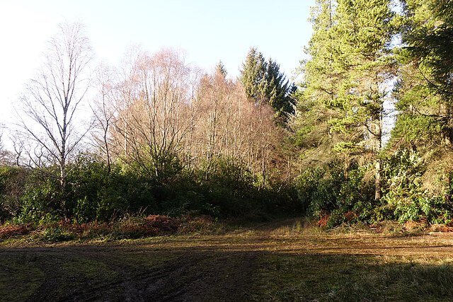
Several well-maintained footpaths meander through Bauds Wood, allowing visitors to explore its natural beauty at their leisure. These paths offer a range of difficulty levels, catering to both casual strollers and more adventurous hikers. The forest also features a small picnic area, where visitors can relax and enjoy a packed lunch amidst the serene surroundings.

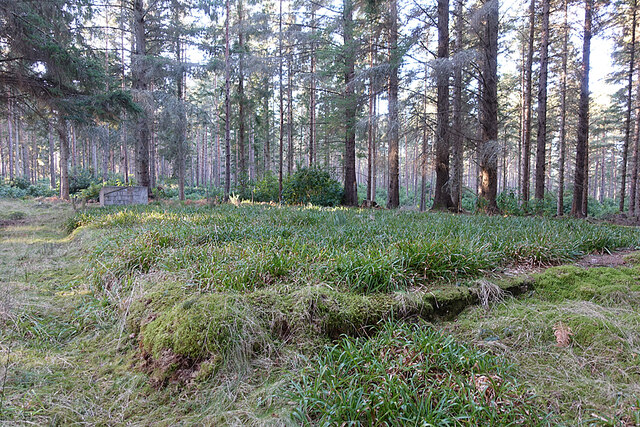
Bauds Wood is managed by the local forestry commission, ensuring its conservation and preservation for future generations to enjoy. The forest is open year-round, offering changing scenery and experiences throughout the seasons. Whether one is seeking a peaceful walk, a family outing, or simply a place to reconnect with nature, Bauds Wood is a destination that promises to delight all who visit.

If you have any feedback on the listing, please let us know in the comments section below.

Bauds Wood Images

Images are sourced within 2km of 57.682118/-2.8824359 or Grid Reference NJ4766. Thanks to Geograph Open Source API. All images are credited.

Beechwood on North East flank of the Bin of Cullen
Station Road, Findochty Caithness on the horizon. Morven appears to get closer as you travel westward along the coast.
Station Road, Findochty
Caithness on the horizon. Morven appears to get closer as you travel westward along the coast.
Triangulation pillar, Bin of Cullen One of the square profile types seen along the southern shore of the Moray Firth.
Triangulation pillar, Bin of Cullen
One of the square profile types seen along the southern shore of the Moray Firth.
Road junction at Carnoch
Farmland at Carnoch
Farmland at Carnoch
Minor road in Carnoch Wood
Road junction at Bauds of Cullen
Minor road near Bauds of Cullen
A942 east of Findochty
Summit of Bin of Cullen
Track Crossroads Looking west towards Rannas from the track crossroads near the site of Woodside Farm.
Track Crossroads
Looking west towards Rannas from the track crossroads near the site of Woodside Farm.
Set-aside Strip The wide grassy margin between the ploughed field and the estate road must surely be a strip of set-aside for the benefit of wildlife.
Set-aside Strip
The wide grassy margin between the ploughed field and the estate road must surely be a strip of set-aside for the benefit of wildlife.
Through the Trees The estate road here is flanked by a wide strip of trees. At the far side of the field is Gordon's Hillock.
Through the Trees
The estate road here is flanked by a wide strip of trees. At the far side of the field is Gordon's Hillock.
Woodside Lodge It would be more accurate to say that this crossroads is beside the site of Woodside Lodge, as everything around it is smothered in Rhododendron ponticum.
Woodside Lodge
It would be more accurate to say that this crossroads is beside the site of Woodside Lodge, as everything around it is smothered in Rhododendron ponticum.
Old Reservoir We had noticed a building on the map, so went to see what it was. It turns out to be a reservoir, built in the second half of the 19th century as part of Cullen Water Works.
Old Reservoir
We had noticed a building on the map, so went to see what it was. It turns out to be a reservoir, built in the second half of the 19th century as part of Cullen Water Works.
Bin of Cullen Summit A Marilyn of 320m
Bin of Cullen Summit
A Marilyn of 320m
Show me another place!

Bauds Wood is located at Grid Ref: NJ4766 (Lat: 57.682118, Lng: -2.8824359)

Unitary Authority: Moray

Police Authority: North East

What 3 Words

///impresses.refutes.punch. Near Findochty, Moray

Nearby Locations

Bauds Wood Bauds of Cullen

Related Wikis

Findochty railway station

Findochty railway station was a railway station in the small fishing village of Findochty, Moray about 3 miles to the east of Buckie. The railway station...
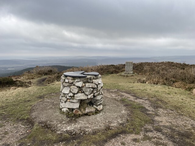
Bin of Cullen

Bin of Cullen or Bin Hill (Scottish Gaelic: Am Binnean) is a hill in Moray, Scotland directly inland from Findochty. Bin of Cullen is 320 m in height and...
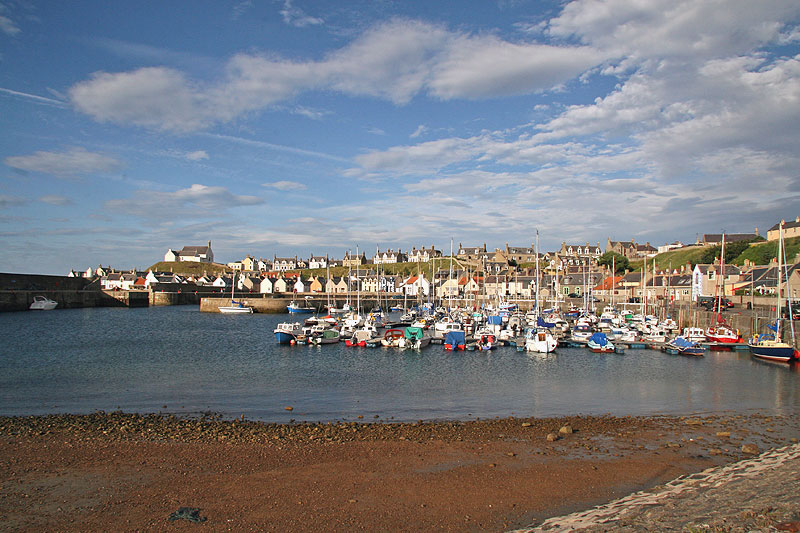
Findochty

Findochty (pronounced , Scots: Finichty, Scottish Gaelic: Am Fionn Ochdamh) is a village in Moray, Scotland, on the shores of the Moray Firth; historically...

Findochty Castle

Findochty Castle is a ruined 16th century L-plan tower house, near Findochty, Moray, Scotland, about 2.5 miles (4.0 km) north-east of Buckie, and about...

Nearby Amenities

Located within 500m of 57.682118,-2.8824359
Power: pole
Lat/Long: 57.6776614/-2.8823876
Power: pole
Lat/Long: 57.6780199/-2.8808025
Power: pole
Lat/Long: 57.6783856/-2.8792173
Power: pole
Lat/Long: 57.6787527/-2.8776053
Power: pole
Lat/Long: 57.6835406/-2.8881715
Power: pole
Lat/Long: 57.6840483/-2.8874071
Power: pole
Lat/Long: 57.6845664/-2.8865986
Power: pole
Lat/Long: 57.6849014/-2.8854053
Power: pole
Lat/Long: 57.6852459/-2.8841749
Power: pole
Lat/Long: 57.6855497/-2.8830557
Power: pole
Lat/Long: 57.6858479/-2.882023
Power: pole
Lat/Long: 57.6861367/-2.8809832
Power: pole
Lat/Long: 57.68583/-2.8845703
The data included in this document is from www.openstreetmap.org. The data is made available under ODbL.

Have you been to Bauds Wood?

Leave your review of Bauds Wood below (or comments, questions and feedback).