Twa Gates Strip
Wood, Forest in East Lothian
Scotland
Twa Gates Strip
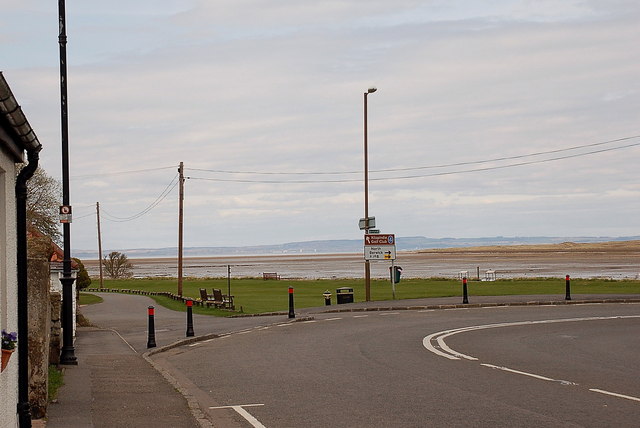
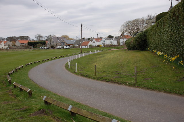
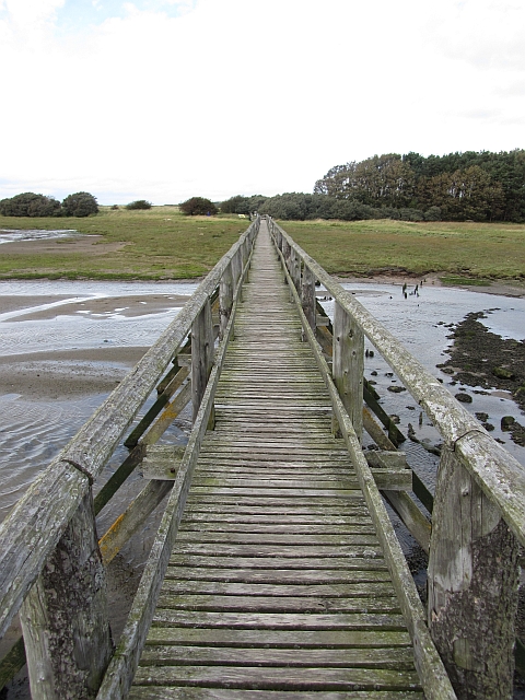
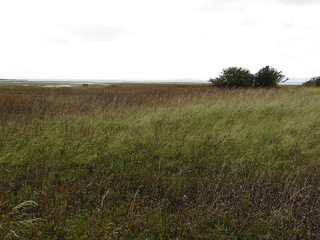
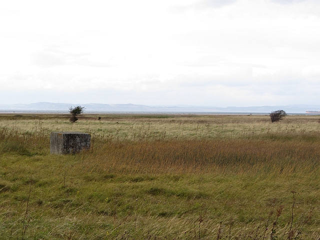
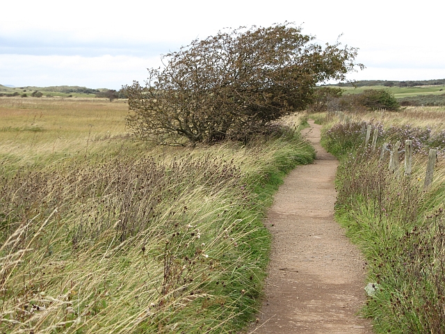
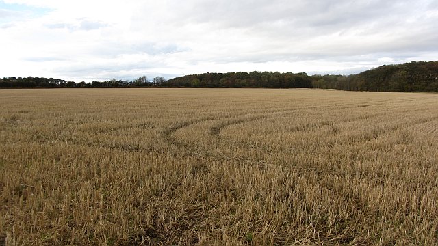
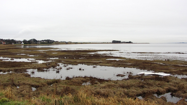
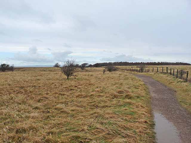
Twa Gates Strip is a scenic woodland area located in East Lothian, Scotland. Nestled amidst the beautiful countryside, this tranquil forest is a haven for nature lovers and outdoor enthusiasts. Spanning over a vast expanse, Twa Gates Strip is known for its lush greenery, towering trees, and diverse wildlife.
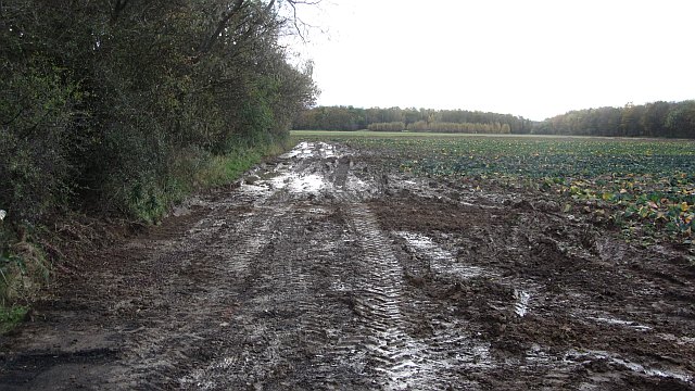
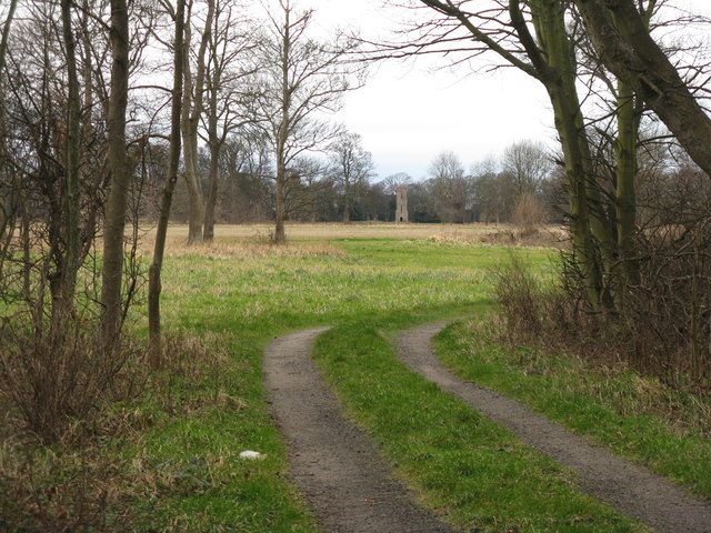
The forest is easily accessible, with well-maintained paths and trails that wind through the woods, making it an ideal destination for walkers, hikers, and cyclists. The trails offer a range of difficulty levels, catering to both beginners and experienced adventurers. As visitors explore the forest, they are greeted by the peaceful sounds of chirping birds, rustling leaves, and the gentle murmuring of nearby streams.
Twa Gates Strip is home to an array of native flora and fauna, with a mix of deciduous and coniferous trees providing a habitat for various species. Among the trees, one can find majestic oaks, towering pines, and vibrant birch trees. Wildflowers and ferns carpet the forest floor, creating a picturesque and serene environment.
The forest is also rich in wildlife, and lucky visitors may spot deer, foxes, squirrels, and a variety of bird species. Nature enthusiasts can indulge in birdwatching, photography, or simply enjoy the peaceful atmosphere.
With its natural beauty and tranquil ambiance, Twa Gates Strip in East Lothian offers a perfect escape from the hustle and bustle of everyday life. Whether it's a leisurely stroll, an adventurous hike, or a peaceful picnic, this woodland retreat caters to all, providing a memorable experience in the heart of nature.
If you have any feedback on the listing, please let us know in the comments section below.
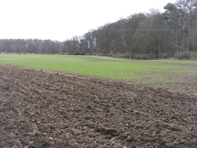
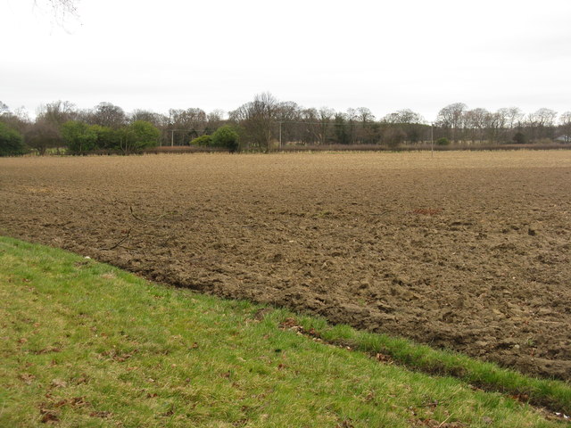
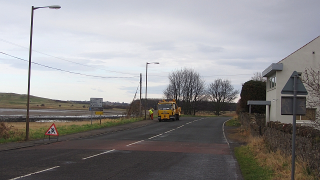
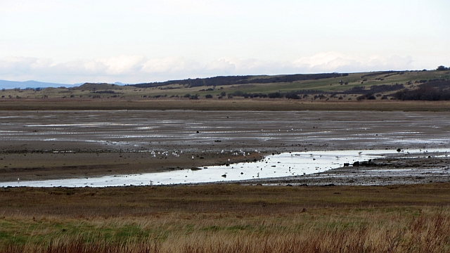
Twa Gates Strip Images
Images are sourced within 2km of 56.00626/-2.844749 or Grid Reference NT4779. Thanks to Geograph Open Source API. All images are credited.

Twa Gates Strip is located at Grid Ref: NT4779 (Lat: 56.00626, Lng: -2.844749)
Unitary Authority: East Lothian
Police Authority: The Lothians and Scottish Borders
What 3 Words
///grabs.reserving.crazy. Near Aberlady, East Lothian
Nearby Locations
Related Wikis
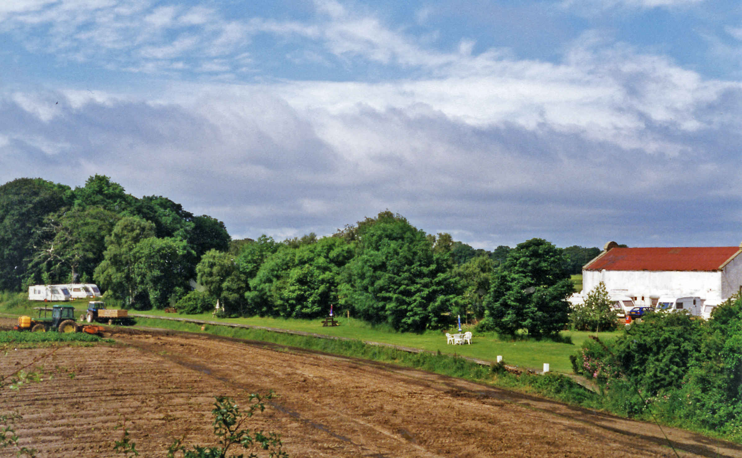
Aberlady railway station
Aberlady railway station served the village of Aberlady in Scotland. It was served by the Aberlady, Gullane and North Berwick railway. This line diverged...

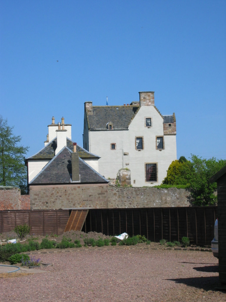
Luffness Castle
Luffness Castle, also known as Luffness House, is a house built in a former fortification near the village of Aberlady, East Lothian, Scotland. ��2�...
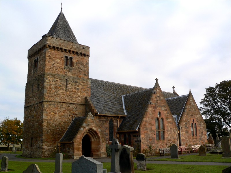
Aberlady
Aberlady (Scots: Aiberleddy, Gaelic: Obar Lobhaite) is a coastal village in the Scottish council area of East Lothian. The village had an estimated population...

Luffness
Luffness is a hamlet in East Lothian, Scotland. It lies between the towns of Gullane and Aberlady and is approximately 20 miles east of Edinburgh. ��2...

Kilspindie Castle
Kilspindie Castle lies north of the village of Aberlady, in East Lothian, Scotland; the remains of the castle are behind the Victorian St Mary's Kirk....

Ballencrieff, East Lothian
Ballencrieff (Scottish Gaelic: Baile na Craoibhe) is a rural community in East Lothian, Scotland. It is located between the towns of Aberlady, Drem, Haddington...
Ballencrieff Castle
Ballencrieff Castle, also known as Ballencrieff House, is a large tower house at Ballencrieff, East Lothian, Scotland. It is located three miles north...

Luffness Platform railway station
Luffness Platform (also known as Luffness Golf Club Halt) served a golf course near Gullane in Scotland. It was served by the Aberlady, Gullane and North...
Nearby Amenities
Located within 500m of 56.00626,-2.844749Have you been to Twa Gates Strip?
Leave your review of Twa Gates Strip below (or comments, questions and feedback).