Bickerton Strip

Wood, Forest in East Lothian

Scotland

Bickerton Strip

Aberlady Bay from the coastal road The lane on the left leads to Kilspindie Golf Club, and the Fife coast is in view across the Firth of Forth.
Aberlady Bay from the coastal road Credit: Jim Barton

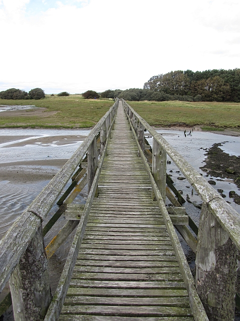
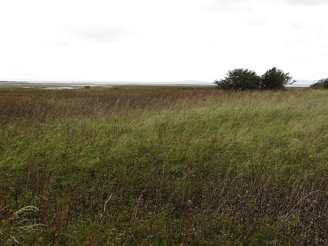
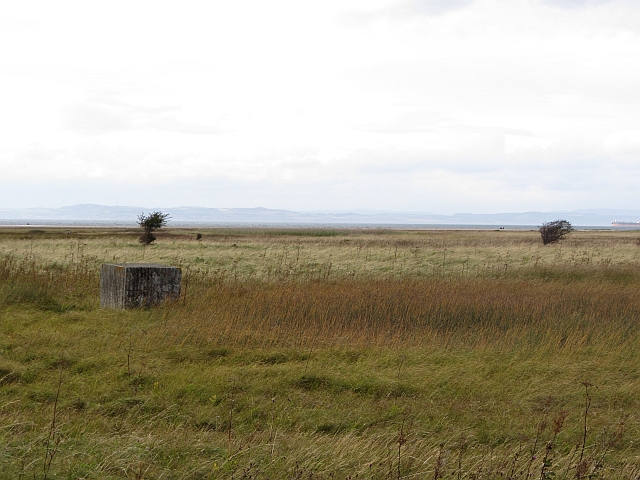
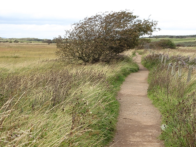
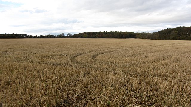
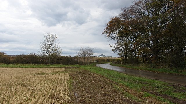
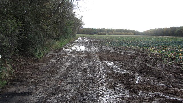
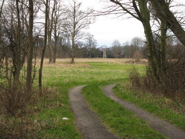
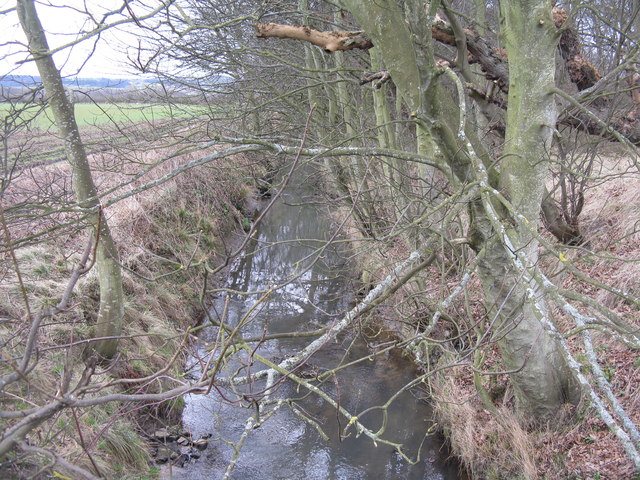
Bickerton Strip is a small wood located in East Lothian, Scotland. Situated in the county's countryside, it offers a peaceful and picturesque setting for nature lovers and outdoor enthusiasts.

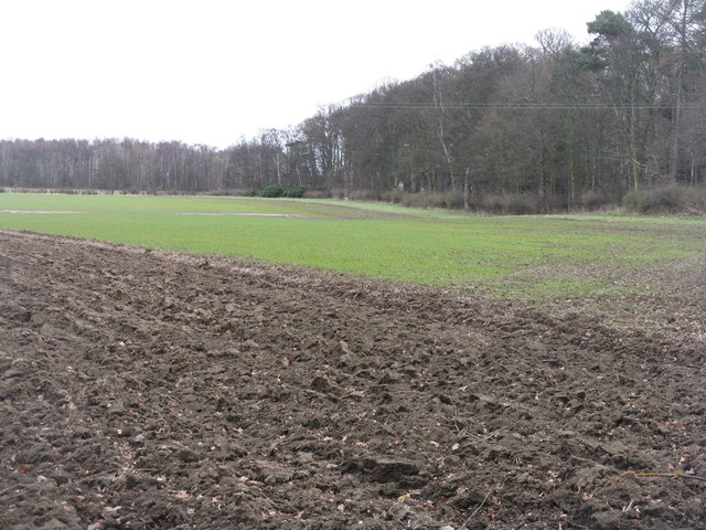
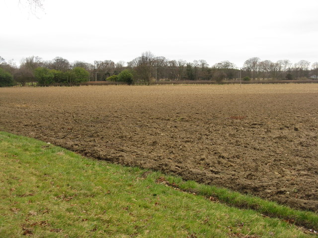
Covering an area of approximately 50 acres, Bickerton Strip is predominantly composed of a mixture of coniferous and deciduous trees. The wood is home to a variety of tree species, including oak, beech, birch, and pine, creating a diverse and vibrant ecosystem. The varying tree types provide a rich habitat for a range of wildlife, such as birds, squirrels, and deer, making it an ideal spot for birdwatching and wildlife observation.

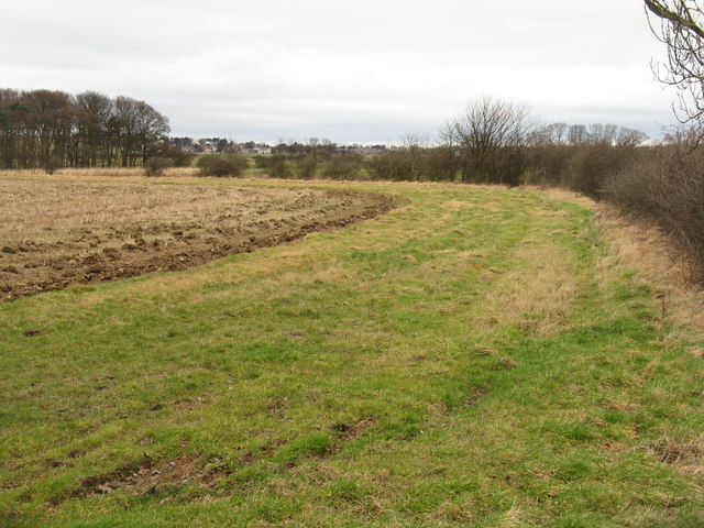
The wood features several well-maintained walking paths, allowing visitors to explore its beauty and enjoy the tranquility of the surroundings. The paths wind through the trees, providing opportunities for leisurely strolls or more vigorous hikes. Along the way, visitors can admire the natural beauty of the wood and take in the fresh air.

Bickerton Strip is also a popular destination for nature photography and picnicking. Its peaceful ambiance and stunning scenery make it an ideal location for capturing beautiful shots of the trees, wildlife, and the changing seasons.

With its proximity to nearby towns and villages, such as Haddington and Gifford, Bickerton Strip is easily accessible for both locals and tourists. Whether you are seeking a peaceful retreat, a place to connect with nature, or simply a scenic spot for a leisurely walk, Bickerton Strip offers a welcoming and enchanting woodland experience.

If you have any feedback on the listing, please let us know in the comments section below.

Bickerton Strip Images

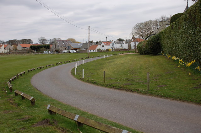
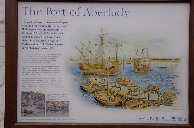
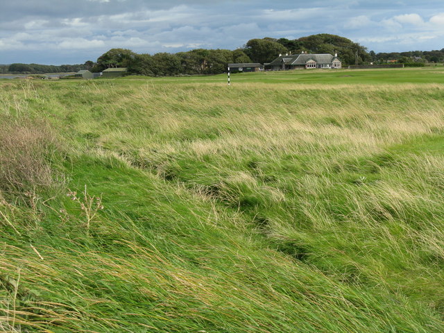
Images are sourced within 2km of 56.009463/-2.8481708 or Grid Reference NT4779. Thanks to Geograph Open Source API. All images are credited.
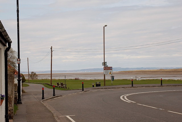
Aberlady Bay from the coastal road The lane on the left leads to Kilspindie Golf Club, and the Fife coast is in view across the Firth of Forth.
Aberlady Bay from the coastal road
The lane on the left leads to Kilspindie Golf Club, and the Fife coast is in view across the Firth of Forth.
Seafront houses, Aberlady Seen from the road to Kilspindie Golf Club.
Seafront houses, Aberlady
Seen from the road to Kilspindie Golf Club.
Information board, the Port of Aberlady Aberlady was a port in the 16th century, with a last known shipment in 1875. Since then the bay has silted up, precluding its use as a port, but leaving an area of tidal sands that attracts wading birds. The artist’s impression shows the port as it would have looked c. 1560.


The first paragraph of smaller print reads:

"The construction of a harbour at Aberlady was commissioned in 1535. The port building and custom house – ‘the Town of Haddington’s House’ – was commissioned one year later. Timber, tanning oil, linseed cake and guano were primary imports while large amounts of wool, hides and grain were exported."
Information board, the Port of Aberlady
Aberlady was a port in the 16th century, with a last known shipment in 1875. Since then the bay has silted up, precluding its use as a port, but leaving an area of tidal sands that attracts wading birds. The artist’s impression shows the port as it would have looked c. 1560. The first paragraph of smaller print reads: "The construction of a harbour at Aberlady was commissioned in 1535. The port building and custom house – ‘the Town of Haddington’s House’ – was commissioned one year later. Timber, tanning oil, linseed cake and guano were primary imports while large amounts of wool, hides and grain were exported."
Aberlady Bay from Kilspindie Looking east towards North Berwick Law [11km away].
Aberlady Bay from Kilspindie
Looking east towards North Berwick Law [11km away].
Kilspindie Golf Club The clubhouse, looking from the edge of the course near Aberlady Point.
Kilspindie Golf Club
The clubhouse, looking from the edge of the course near Aberlady Point.
Aberlady footbridge The wooden bridge which crosses the tidal Peffer Burn at Aberlady Bay.
Aberlady footbridge
The wooden bridge which crosses the tidal Peffer Burn at Aberlady Bay.
Rough ground, Aberlady Bay Very rough ground beside the Peffer Burn. It is a mass of seed heads from summer flowers and a rich source of food for finches.
Rough ground, Aberlady Bay
Very rough ground beside the Peffer Burn. It is a mass of seed heads from summer flowers and a rich source of food for finches.
Yellow Mires An extensive wetland expanse by Aberlady Bay. One of the World War II anti tank blocks can be seen.
Yellow Mires
An extensive wetland expanse by Aberlady Bay. One of the World War II anti tank blocks can be seen.
Path, Aberlady Bay A popular and well surfaced path to the beach by Gullane Point.
Path, Aberlady Bay
A popular and well surfaced path to the beach by Gullane Point.
Stubble, Luffness A few years ago, this was like a big lawn as the field was used for growing turf.
Stubble, Luffness
A few years ago, this was like a big lawn as the field was used for growing turf.
Minor road, Luffness A wet and muddy road with stubble to the north and a vegetable crop to the south. The view is towards North Berwick Law.
Minor road, Luffness
A wet and muddy road with stubble to the north and a vegetable crop to the south. The view is towards North Berwick Law.
Mud Beside Hatty's Plantation, a large expanse of mud left after the cabbages have been lifted.
Mud
Beside Hatty's Plantation, a large expanse of mud left after the cabbages have been lifted.
High water, Aberlady Bay A spring high water briefly covers the mud flats.
High water, Aberlady Bay
A spring high water briefly covers the mud flats.
Water tower at Luffness Seen from the Avenue Road shelter belt.
Water tower at Luffness
Seen from the Avenue Road shelter belt.
Winter cereal at Floors Strip By the side of Avenue Road from Luffness Mains to Gullane Links.
Winter cereal at Floors Strip
By the side of Avenue Road from Luffness Mains to Gullane Links.
Ploughed field by Avenue Road
Rough field by the Peffer Burn Looking north towards Gullane.
Rough field by the Peffer Burn
Looking north towards Gullane.
The Peffer Burn flows past Hatty's Plantation In less than 3 km it will be in Aberlady Bay.
The Peffer Burn flows past Hatty's Plantation
In less than 3 km it will be in Aberlady Bay.
Show me another place!

Bickerton Strip is located at Grid Ref: NT4779 (Lat: 56.009463, Lng: -2.8481708)

Unitary Authority: East Lothian

Police Authority: The Lothians and Scottish Borders

What 3 Words

///inflamed.audible.recliner. Near Aberlady, East Lothian

Related Wikis

Luffness Castle

Luffness Castle, also known as Luffness House, is a house built in a former fortification near the village of Aberlady, East Lothian, Scotland. ��2�...

Aberlady railway station

Aberlady railway station served the village of Aberlady in Scotland. It was served by the Aberlady, Gullane and North Berwick railway. This line diverged...

Aberlady

Aberlady (Scots: Aiberleddy, Gaelic: Obar Lobhaite) is a coastal village in the Scottish council area of East Lothian. The village had an estimated population...

Kilspindie Castle

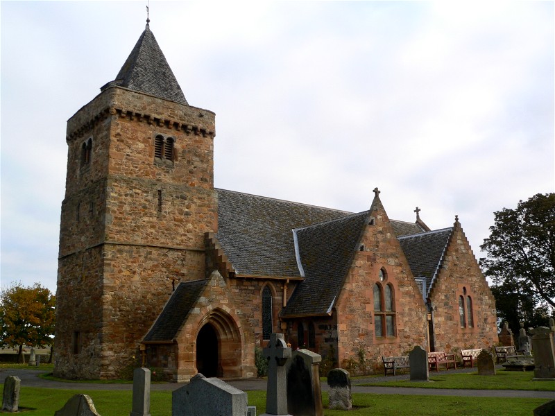
Kilspindie Castle lies north of the village of Aberlady, in East Lothian, Scotland; the remains of the castle are behind the Victorian St Mary's Kirk....

Nearby Amenities

Located within 500m of 56.009463,-2.8481708
Luffness friary
Historic: ruins
Lat/Long: 56.0112513/-2.8494823
Power: pole
Lat/Long: 56.0074483/-2.8542287
Power: pole
Lat/Long: 56.0082777/-2.8531128
Power: pole
Lat/Long: 56.0087841/-2.8526161
Power: pole
Lat/Long: 56.009496/-2.8533054
Power: pole
Lat/Long: 56.0102605/-2.8540055
The data included in this document is from www.openstreetmap.org. The data is made available under ODbL.

Have you been to Bickerton Strip?

Leave your review of Bickerton Strip below (or comments, questions and feedback).