Tank Strip

Wood, Forest in Selkirkshire

Scotland

Tank Strip

New road, Dunlee Hill Associated with tree planting on Knowes Hill, the road continues almost all the way to the summit. It is quite gently graded and easy to ride up. Tree planting was taking place at the time.
New road, Dunlee Hill Credit: Richard Webb

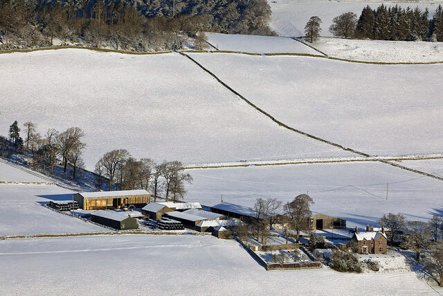
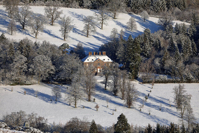
Tank Strip is a small woodland located in Selkirkshire, a historic county in the Scottish Borders region of Scotland. Stretching over an area of approximately 200 acres, this forested land is a natural haven abundant with diverse flora and fauna.

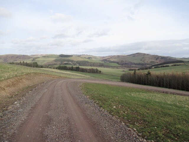
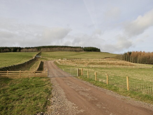
The woodland of Tank Strip consists primarily of mixed deciduous and coniferous trees, creating a rich tapestry of colors throughout the seasons. Towering Scots pines dominate the landscape, while oak, birch, and beech trees provide a variety of habitats for the local wildlife. The forest floor is carpeted with a lush undergrowth of ferns, heather, and wildflowers, adding to the visual beauty of the area.

Due to its dense vegetation and remote location, Tank Strip serves as a sanctuary for a range of wildlife species. The forest is home to a variety of bird species, including woodpeckers, owls, and rare species such as the red kite and osprey. Roe deer, badgers, and red squirrels can also be spotted in the woodland, while the nearby rivers provide an ideal habitat for otters.

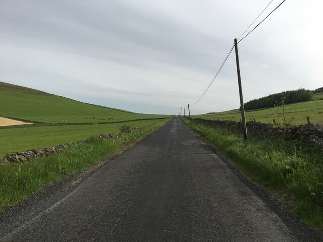
Tank Strip offers numerous walking trails and paths that wind through the forest, allowing visitors to immerse themselves in the tranquility of nature. The forest is a popular destination for outdoor enthusiasts, hikers, and nature lovers who appreciate the serene surroundings and the opportunity to observe wildlife in its natural habitat.

Overall, Tank Strip in Selkirkshire is a picturesque and biodiverse woodland that offers a peaceful retreat for those seeking to connect with nature and explore the beauty of the Scottish Borders.

If you have any feedback on the listing, please let us know in the comments section below.

Tank Strip Images

Images are sourced within 2km of 55.633699/-2.8478953 or Grid Reference NT4638. Thanks to Geograph Open Source API. All images are credited.

New road, Dunlee Hill Associated with tree planting on Knowes Hill, the road continues almost all the way to the summit. It is quite gently graded and easy to ride up. Tree planting was taking place at the time.
New road, Dunlee Hill
Associated with tree planting on Knowes Hill, the road continues almost all the way to the summit. It is quite gently graded and easy to ride up. Tree planting was taking place at the time.
New road up Knowes Hill View from the Bowland to Clovenfords road of the newly constructed forestry road.
New road up Knowes Hill
View from the Bowland to Clovenfords road of the newly constructed forestry road.
Torwoodlee Mains Farm This telephoto shot was taken from Meigle Hill on a bitterly cold January day.
Torwoodlee Mains Farm
This telephoto shot was taken from Meigle Hill on a bitterly cold January day.
A gate post and chain fastener on Meigle Hill The gate is on a Clovenfords Paths route.
A gate post and chain fastener on Meigle Hill
The gate is on a Clovenfords Paths route.
Torwoodlee House in January This three-storey Georgian mansion, which dates back to 1783, is the home to the Pringles of Torwoodlee. This telephoto shot was taken from Meigle Hill on a bitterly cold January day.
Torwoodlee House in January
This three-storey Georgian mansion, which dates back to 1783, is the home to the Pringles of Torwoodlee. This telephoto shot was taken from Meigle Hill on a bitterly cold January day.
B710 towards Clovenfords
Old alignment, A7
Old alignment, A7
View towards William Law From the B710 between Bowland and Clovenfords.
View towards William Law
From the B710 between Bowland and Clovenfords.
Work starts on the Borders Rail Link The new railway will follow the route of the old Waverley Line
Work starts on the Borders Rail Link
The new railway will follow the route of the old Waverley Line
The road to Torwoodlee Mains Farm This farm road is accessed from the A72.
The road to Torwoodlee Mains Farm
This farm road is accessed from the A72.
Torwoodlee Mains Farm sign The sign is on the northwest side of the A72. For a wider view showing the farm road, see <a href="https://www.geograph.org.uk/photo/2374169">NT4637 : The road to Torwoodlee Mains Farm</a>.
Torwoodlee Mains Farm sign
The sign is on the northwest side of the A72. For a wider view showing the farm road, see NT4637 : The road to Torwoodlee Mains Farm.
Farmland at Mains Hill Viewed from the B710 Bowland to Clovenfords road with William Law in the background. The foreground post is a Clovenfords Paths Route marker.
Farmland at Mains Hill
Viewed from the B710 Bowland to Clovenfords road with William Law in the background. The foreground post is a Clovenfords Paths Route marker.
Torwoodlee Tower Looking from a footpath above the tower a view into the ruin was possible.
Torwoodlee Tower
Looking from a footpath above the tower a view into the ruin was possible.
View from Buckholm Hill With the cow pasture in the foreground the Buckholm Cottages are situated.
View from Buckholm Hill
With the cow pasture in the foreground the Buckholm Cottages are situated.
Footpath from Buckholm Tower Coming from the tower ruin the paths leads along cow pastures to Buckholm cottages.
Footpath from Buckholm Tower
Coming from the tower ruin the paths leads along cow pastures to Buckholm cottages.
Buckholm Tower The remains of a 16th century tower house on the W side of Buckholm Hill, seen from the Buckholm Circular path.
Buckholm Tower
The remains of a 16th century tower house on the W side of Buckholm Hill, seen from the Buckholm Circular path.
Track to Buckholm Tower The track here joins the minor road from Buckholm to Langshaw, and is on the route of the Buckholm Circular walk.
Track to Buckholm Tower
The track here joins the minor road from Buckholm to Langshaw, and is on the route of the Buckholm Circular walk.
Path up Meigle Hill The path runs between the driveway to Cheviot View (Ben Bhraggie) and a newly planted strip of woodland. Beyond the new plantings is a new house with stables.
Care is needed on this path due to the large volume of dog product lying about. Falling over here is unthinkable.
Path up Meigle Hill
The path runs between the driveway to Cheviot View (Ben Bhraggie) and a newly planted strip of woodland. Beyond the new plantings is a new house with stables. Care is needed on this path due to the large volume of dog product lying about. Falling over here is unthinkable.
Show me another place!

Tank Strip is located at Grid Ref: NT4638 (Lat: 55.633699, Lng: -2.8478953)

Unitary Authority: The Scottish Borders

Police Authority: The Lothians and Scottish Borders

What 3 Words

///patrolled.butlers.builders. Near Galashiels, Scottish Borders

Related Wikis

Torwoodlee Broch

Torwoodlee Broch is the remains of an iron-age broch located near the town of Galashiels in the Scottish Borders. == Description == Torwoodlee Broch...

Buckholm

Buckholm is a farm near to the A7, in the Scottish Borders, Galashiels area of Scotland. Places nearby include Abbotsford, the Bow Castle Broch, Clovenfords...

Mossilee

Mossilee is a cricket ground in Galashiels, Scotland. Established prior to 1899, the first recorded match held on the ground was a first-class match between...

Clovenfords railway station

Clovenfords railway station served the village of Clovenfords, Scottish Borders, Scotland from 1866 to 1962 on the Peebles Railway. == History == The station...

Nearby Amenities

Located within 500m of 55.633699,-2.8478953
Bus Stop
North Lodge
Bus: yes
Naptan AtcoCode: 69001704
Naptan Bearing: E
Naptan CommonName: Lodge
Naptan Indicator: at
Naptan NaptanCode: 72798429
Naptan Street: A72
Operator: Scottish Borders Council
Public Transport: platform
Ref: 69001704
Source: NaPTAN
Lat/Long: 55.6299737/-2.8462187
Bus Stop
North Lodge
Bus: yes
Naptan AtcoCode: 69001705
Naptan Bearing: W
Naptan CommonName: Lodge
Naptan Indicator: opp
Naptan NaptanCode: 72798432
Naptan Street: A72
Operator: Scottish Borders Council
Public Transport: platform
Ref: 69001705
Source: NaPTAN
Lat/Long: 55.6298846/-2.8460699
Post Box
Source: survey
Lat/Long: 55.6299715/-2.8463885
Golf: pin
Lat/Long: 55.6367744/-2.8436112
Generator Method: photovoltaic
Generator Output Electricity: yes
Generator Source: solar
Generator Type: solar_photovoltaic_panel
Power: generator
Lat/Long: 55.6297425/-2.8456814
Power: pole
Lat/Long: 55.6377461/-2.84527
Power: pole
Lat/Long: 55.6373066/-2.8455678
Power: pole
Lat/Long: 55.6368598/-2.845863
Power: pole
Lat/Long: 55.6364461/-2.8469039
Power: pole
Lat/Long: 55.6360338/-2.8478965
Power: pole
Lat/Long: 55.6355497/-2.849108
Power: pole
Lat/Long: 55.6348831/-2.8496246
Power: pole
Lat/Long: 55.6342079/-2.8501617
Power: pole
Lat/Long: 55.633547/-2.8506961
Power: pole
Lat/Long: 55.6328617/-2.8512611
Power: pole
Lat/Long: 55.6321879/-2.8517752
Power: pole
Lat/Long: 55.6315055/-2.8523275
Power: pole
Lat/Long: 55.6309078/-2.8533252
The data included in this document is from www.openstreetmap.org. The data is made available under ODbL.

Have you been to Tank Strip?

Leave your review of Tank Strip below (or comments, questions and feedback).