Blaeberry Plantation

Wood, Forest in Roxburghshire

Scotland

Blaeberry Plantation

A symbolic gravestone in Ashkirk Parish Churchyard This 18th century stone, which is leaning forwards, displays the classic symbols of mortality with crossed femur bones, a horizontal hourglass and a death’s head skull. A winged soul at the top of the stone is a symbol of immortality representing the human spirit.
A symbolic gravestone in Ashkirk Parish Churchyard Credit: Walter Baxter

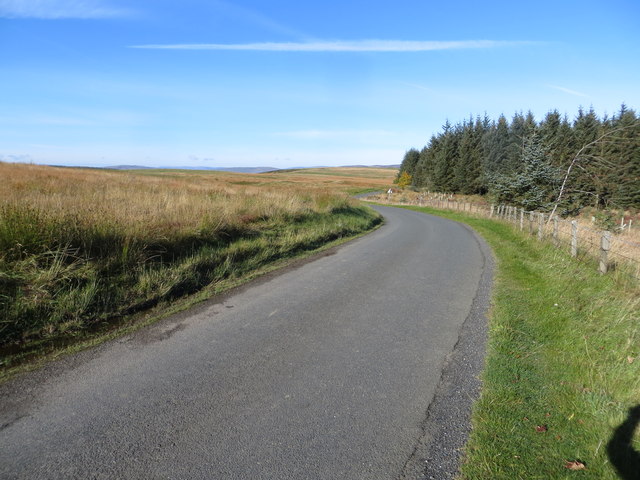
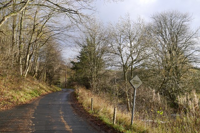
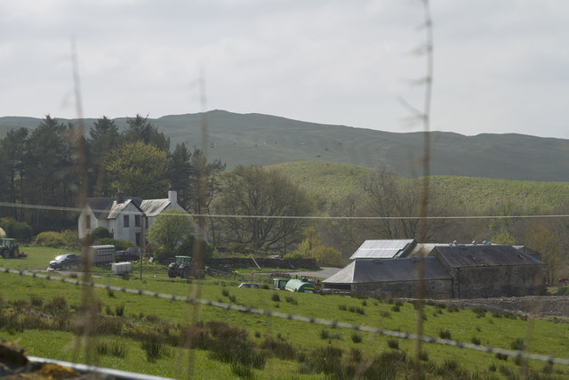
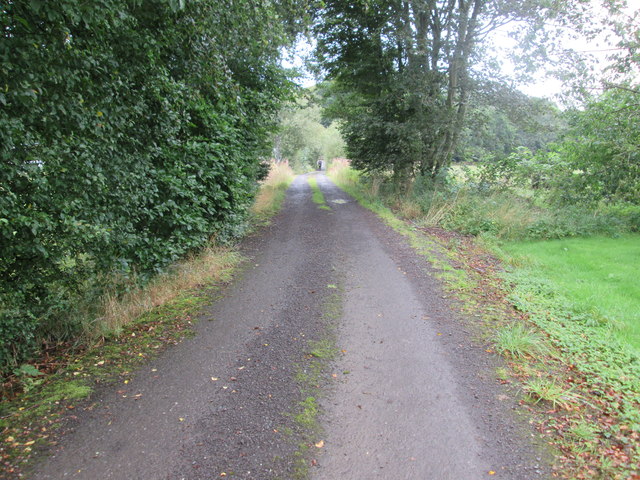
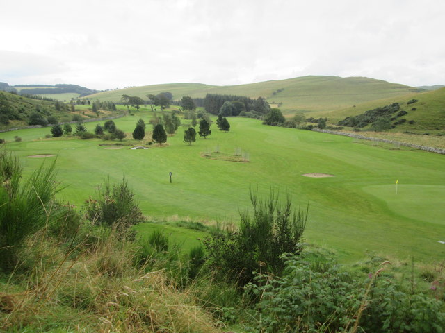
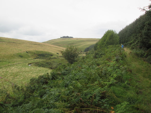
Blaeberry Plantation is a picturesque woodland located in Roxburghshire, Scotland. Covering an area of approximately 300 acres, it is a haven for nature enthusiasts and those seeking tranquility amidst the beautiful Scottish countryside. The plantation is situated in a secluded area, surrounded by rolling hills and stunning vistas, offering visitors a true escape from the hustle and bustle of daily life.

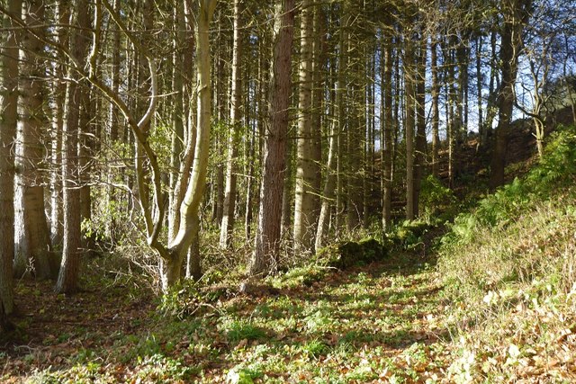
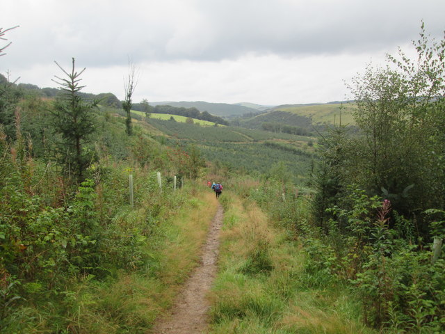
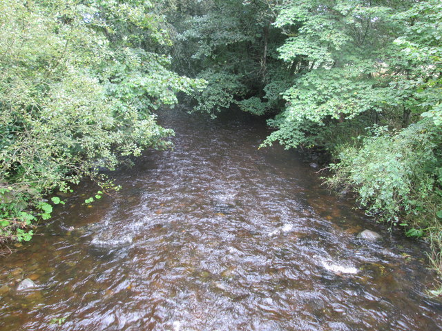
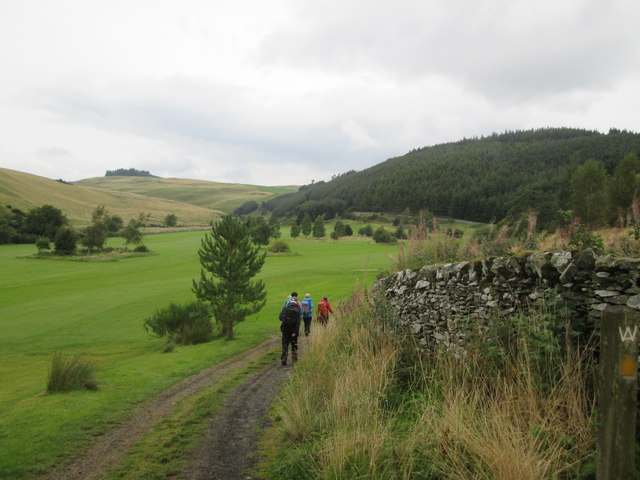
The main feature of Blaeberry Plantation is its dense forest of native trees, including oak, birch, and rowan. The woodland is rich in biodiversity, providing a habitat for a wide range of plant and animal species. Visitors can explore the numerous winding paths and trails that meander through the plantation, offering opportunities for walking, hiking, and birdwatching.

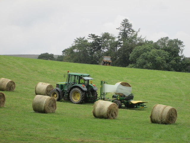
In addition to its natural beauty, Blaeberry Plantation also has historical significance. It is believed to have been a site of human habitation since ancient times, with remnants of prehistoric settlements discovered in the vicinity. The plantation was later used for timber production in the 18th and 19th centuries, contributing to the local economy.

Today, Blaeberry Plantation is managed by a conservation organization that aims to protect and preserve its natural heritage. The plantation is open to the public, with designated picnic areas and viewpoints for visitors to enjoy the breathtaking scenery. Educational programs and guided tours are also available, allowing visitors to learn more about the history and ecology of this enchanting woodland.

If you have any feedback on the listing, please let us know in the comments section below.

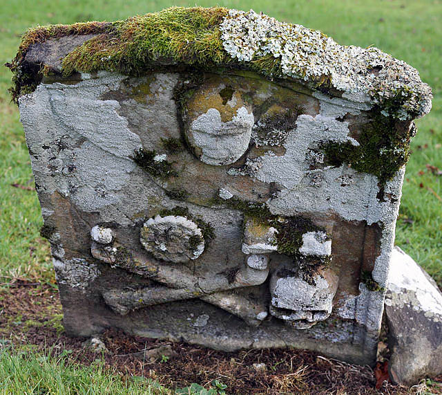
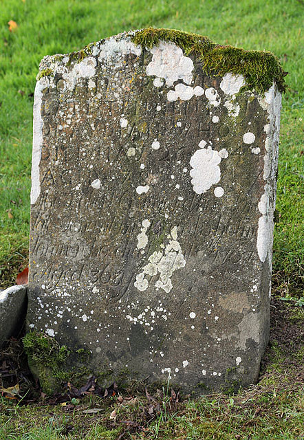
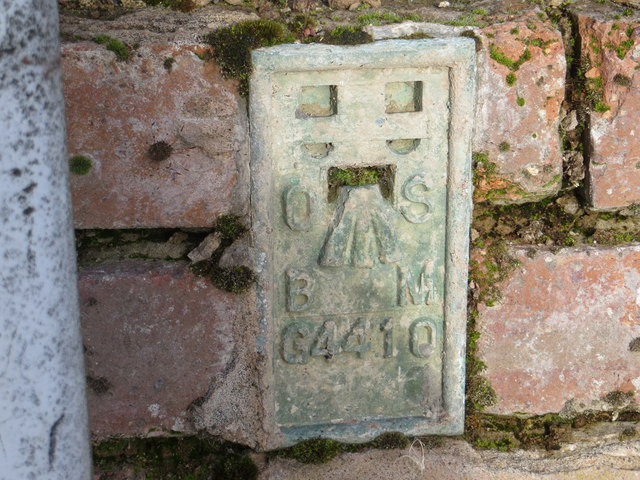
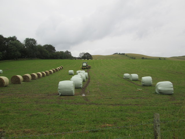
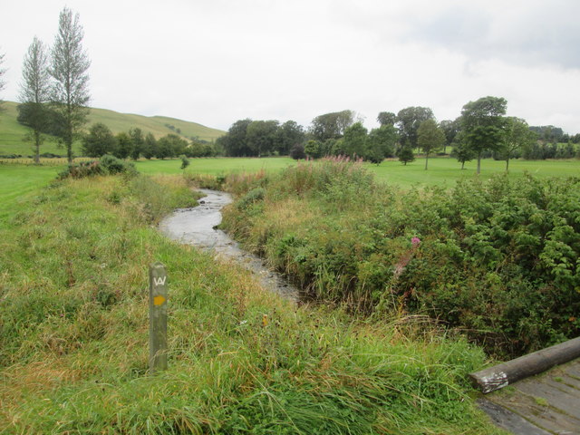
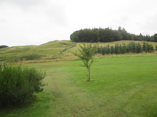
Blaeberry Plantation Images

Images are sourced within 2km of 55.490774/-2.8618827 or Grid Reference NT4522. Thanks to Geograph Open Source API. All images are credited.

A symbolic gravestone in Ashkirk Parish Churchyard This 18th century stone, which is leaning forwards, displays the classic symbols of mortality with crossed femur bones, a horizontal hourglass and a death’s head skull. A winged soul at the top of the stone is a symbol of immortality representing the human spirit.
A symbolic gravestone in Ashkirk Parish Churchyard
This 18th century stone, which is leaning forwards, displays the classic symbols of mortality with crossed femur bones, a horizontal hourglass and a death’s head skull. A winged soul at the top of the stone is a symbol of immortality representing the human spirit.
He was only 363 when he died The inscription on this Crawford gravestone in Ashkirk Parish Churchyard is interesting and amusing because the 18th century mason has carved the age of Robert Crawford as 363 when he died. The inscription reads:

HERE LYES
JOHN CRAWFORD
LATE TENNENT IN
DRAYDIAN WHO
DIED MAY 26 1744
AGID 78

Also Robert Crawford Son
late tenant in Branksholme
Town who died Sept 7 1767
Aged 363 years

For a view of the other side of the stone, see <a href="https://www.geograph.org.uk/photo/4739479">NT4622 : A symbolic gravestone in Ashkirk Parish Churchyard</a>.
He was only 363 when he died
The inscription on this Crawford gravestone in Ashkirk Parish Churchyard is interesting and amusing because the 18th century mason has carved the age of Robert Crawford as 363 when he died. The inscription reads: HERE LYES JOHN CRAWFORD LATE TENNENT IN DRAYDIAN WHO DIED MAY 26 1744 AGID 78 Also Robert Crawford Son late tenant in Branksholme Town who died Sept 7 1767 Aged 363 years For a view of the other side of the stone, see NT4622 : A symbolic gravestone in Ashkirk Parish Churchyard.
Ordnance Survey Flush Bracket G4410 This can be found on the wall of the foundations of a demolished farm building at Ashkirktown.
For more detail see : <span class="nowrap"><a title="http://www.bench-marks.org.uk/bm17575" rel="nofollow ugc noopener" href="http://www.bench-marks.org.uk/bm17575">Link</a><img style="margin-left:2px;" alt="External link" title="External link - shift click to open in new window" src="https://s1.geograph.org.uk/img/external.png" width="10" height="10"/></span>
Ordnance Survey Flush Bracket G4410
This can be found on the wall of the foundations of a demolished farm building at Ashkirktown. For more detail see : LinkExternal link
Moorland road at Bishop's Stone Looking north-westward.
Moorland road at Bishop's Stone
Looking north-westward.
Woodland path, Easter Essenside A short stretch of woodland before the hill pasture to the north.
Woodland path, Easter Essenside
A short stretch of woodland before the hill pasture to the north.
Yellow road, Easter Essenside
A farm house and other buildings A quick shot from the car - I had not noticed the wire across the image of the farm buildings.
A farm house and other buildings
A quick shot from the car - I had not noticed the wire across the image of the farm buildings.
The edge of Ashkirk The village of Ashkirk is very spread out but does have a small concentrated group of houses near the junction with the A7. This picture was taken just on the edge of the village close to the Ale Water which is the stream / burn that runs through the village.
The edge of Ashkirk
The village of Ashkirk is very spread out but does have a small concentrated group of houses near the junction with the A7. This picture was taken just on the edge of the village close to the Ale Water which is the stream / burn that runs through the village.
Borders Abbeys  Way  through  Salenside  Plantation
Borders Abbeys Way through Salenside Plantation
Access  road  from  Salenside  Shiel It bridges the Ale Water then out onto a minor road
Access road from Salenside Shiel
It bridges the Ale Water then out onto a minor road
The  Ale  Water  toward  Ashkirk
The Ale Water toward Ashkirk
Wrapping  bales  of  hay  in  field  with  tractor A one man operation. From B A Way
Wrapping bales of hay in field with tractor
A one man operation. From B A Way
Wrapping  bales  of  hay  in  field  with  tractor  (2) Picks a second bale up while first is being wrapped, when wrapped dropped off the back and the second bale brought up to start wrapping, a one man operation
Wrapping bales of hay in field with tractor (2)
Picks a second bale up while first is being wrapped, when wrapped dropped off the back and the second bale brought up to start wrapping, a one man operation
Stream  through  Woll  Golf  Course The footbridge is the route of B A Way
Stream through Woll Golf Course
The footbridge is the route of B A Way
Woll  Plantation  above  Woll  Golf  Course The B A Way goes through the golf course to the Thief Road (tk)
Woll Plantation above Woll Golf Course
The B A Way goes through the golf course to the Thief Road (tk)
Borders  Abbeys  Way  through  Woll  Golf  Course The route marker is on the right by the wall
Borders Abbeys Way through Woll Golf Course
The route marker is on the right by the wall
Looking  back  from  the  Thief  Road  (tk)  over  Woll  Golf  Course
Looking back from the Thief Road (tk) over Woll Golf Course
Borders  Abbeys  Way  on  the  Thief  Road  (Track) Not much better than an overgrown footpath. Named after the notorious Moss Troopers who would regularly use this route, lawless brigands who preyed on civilians. The Woll Burn can be seen in the valley to the left
Borders Abbeys Way on the Thief Road (Track)
Not much better than an overgrown footpath. Named after the notorious Moss Troopers who would regularly use this route, lawless brigands who preyed on civilians. The Woll Burn can be seen in the valley to the left
Show me another place!

Blaeberry Plantation is located at Grid Ref: NT4522 (Lat: 55.490774, Lng: -2.8618827)

Unitary Authority: The Scottish Borders

Police Authority: The Lothians and Scottish Borders

What 3 Words

///groomed.blazed.mows. Near Selkirk, Scottish Borders

Related Wikis

Woll

Woll is a village on the Ale Water, off the A7, in the Ettrick Forest, north of Hawick, and south of Selkirk in the Scottish Borders area of Scotland....

Salenside

Salenside is a village off the A7, on the Ale Water, near Ashkirk, in the Scottish Borders area of Scotland, in the former Selkirkshire. There was a Salenside...

Ashkirk

Ashkirk is a small village on the Ale Water, in the Scottish Borders area of Scotland. It is located just off the A7 road, approximately 6 miles (10 kilometres...

Oakwood Roman Fort and Camp

Oakwood Roman Fort and Camp is a British archaeological site, a Roman fort and nearby Roman camp, about 3.5 miles (5.6 km) south-west of Selkirk in the...

Bowismiln

Bowismiln is a village in the Scottish Borders area of Scotland. == See also == List of places in the Scottish Borders List of places in Scotland ��2...

Carterhaugh

Carterhaugh is a wood and farm near the confluence of the Yarrow Water and the Ettrick Water near Selkirk in the Scottish Borders. This real location...

Bowhill, Scottish Borders

Bowhill is a village off the A708, in the Scottish Borders area of Scotland, near Selkirk, by the Yarrow Water Other places nearby include Bowhill House...

Aikwood Tower

Aikwood Tower (formerly known as Oakwood Tower) is a 16th-century tower house in the Scottish Borders area of Scotland, 4 miles (6 kilometres) southwest...

Nearby Amenities

Located within 500m of 55.490774,-2.8618827
Wollrig
Place: hamlet
Lat/Long: 55.4944731/-2.8636245
Barrier: stile
Lat/Long: 55.4935328/-2.8660377
Barrier: stile
Lat/Long: 55.4920278/-2.8645234
Barrier: stile
Lat/Long: 55.4940244/-2.8654045
The data included in this document is from www.openstreetmap.org. The data is made available under ODbL.

Have you been to Blaeberry Plantation?

Leave your review of Blaeberry Plantation below (or comments, questions and feedback).