Newton Wood

Wood, Forest in Fife

Scotland

Newton Wood

West Third and the road to Kincaple
West Third and the road to Kincaple Credit: Mark Anderson

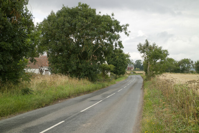
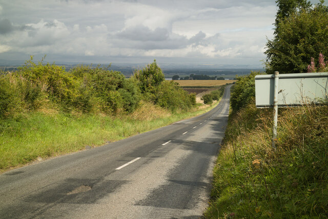
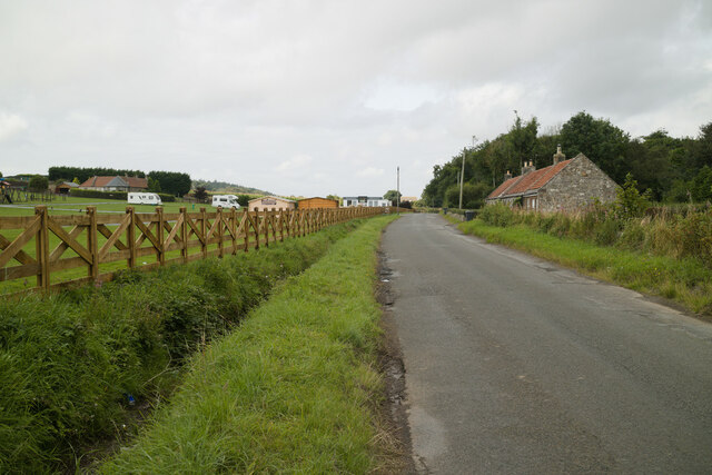
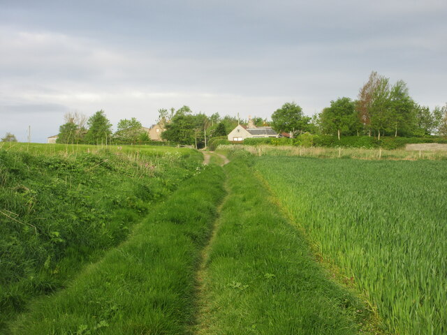
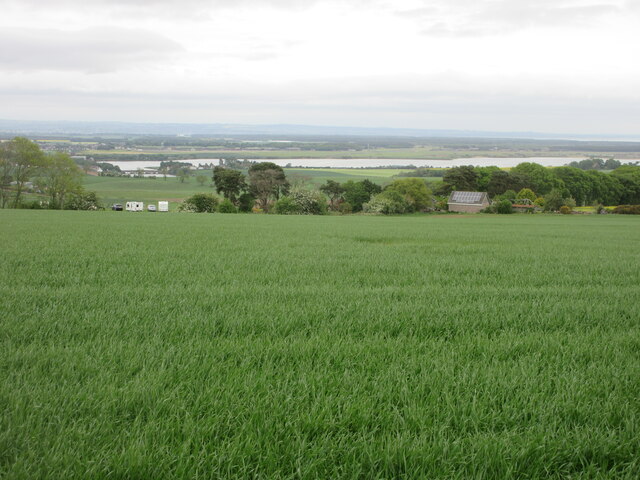
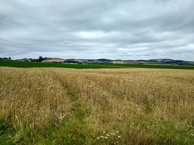
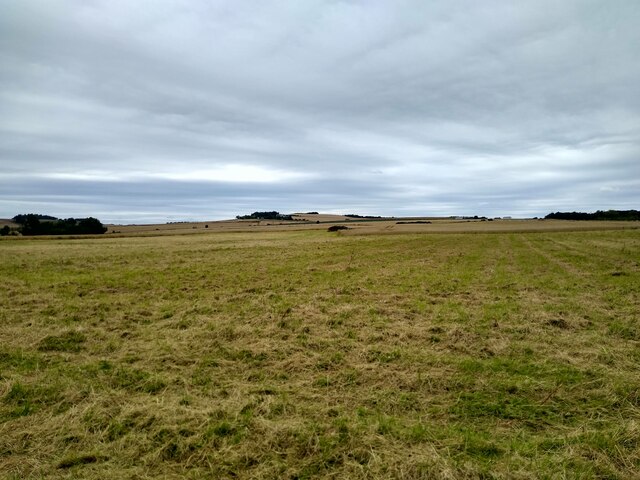
Newton Wood is a picturesque forest located in the region of Fife, Scotland. Situated just outside the village of Newton of Falkland, the wood covers an area of approximately 25 hectares. It is a popular destination for nature enthusiasts, walkers, and wildlife lovers.

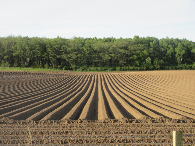
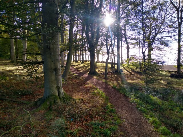
The wood is predominantly composed of native tree species, including oak, birch, and beech trees, which create a dense and diverse canopy. It boasts a rich and varied ecosystem, supporting a wide range of flora and fauna. The forest floor is covered in a lush carpet of mosses, ferns, and wildflowers, providing a delightful sight during spring and summer.

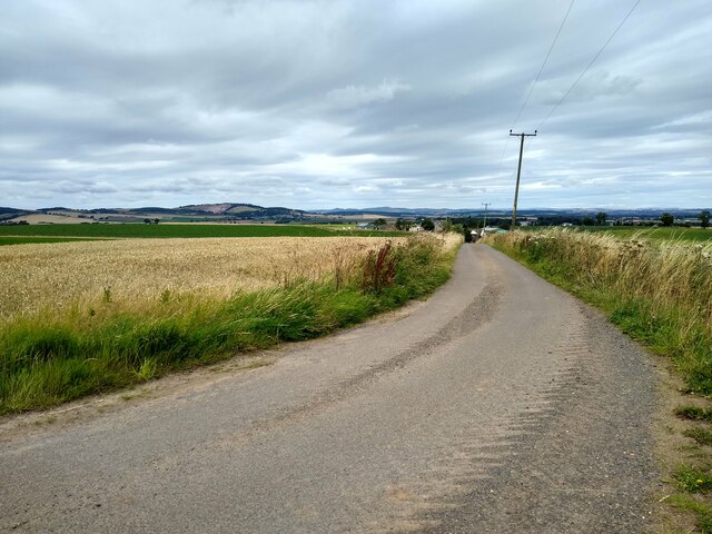
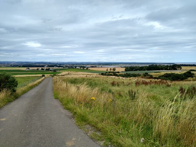
Tranquil pathways wind through the wood, offering visitors the opportunity to explore its natural wonders. As visitors walk through the forest, they may encounter various wildlife species, including red squirrels, roe deer, and a variety of bird species such as woodpeckers and tawny owls.

Newton Wood is also home to a small pond, which further enhances its natural beauty. The pond attracts a diverse array of aquatic insects and amphibians, providing an ideal habitat for them to thrive.

The wood is well-maintained with clear signage and seating areas, making it accessible to visitors of all ages and abilities. It is a peaceful and serene place, ideal for those seeking solace in nature or wishing to engage in outdoor activities such as picnicking or photography.

In conclusion, Newton Wood in Fife is a stunning natural woodland that offers a tranquil escape for visitors, showcasing the beauty and biodiversity of Scotland's forests.

If you have any feedback on the listing, please let us know in the comments section below.

Newton Wood Images

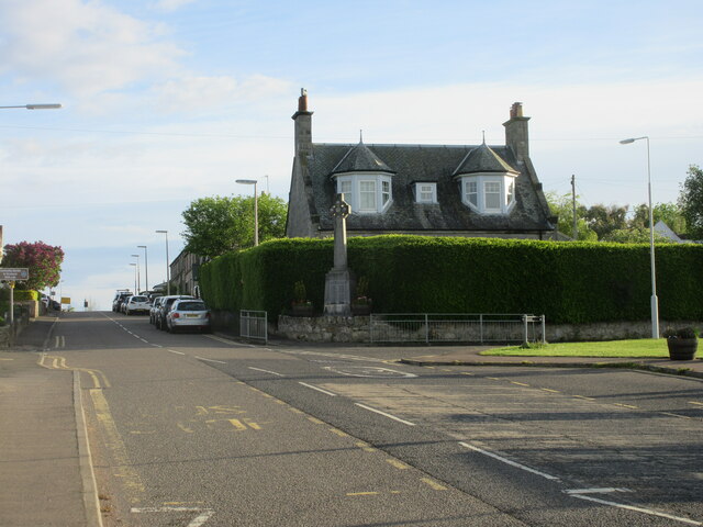
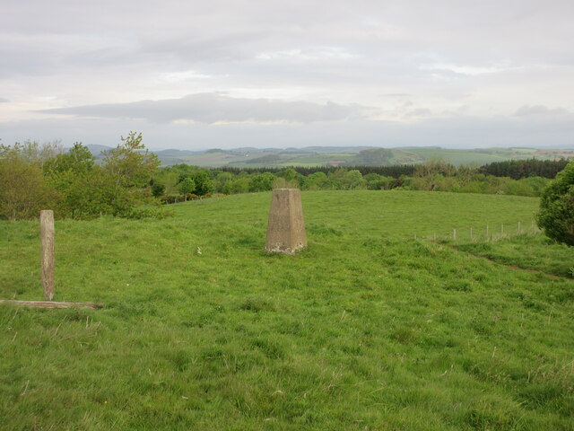
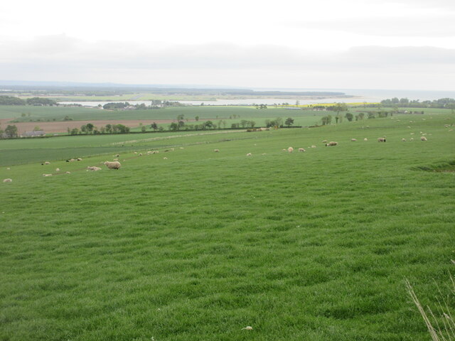
Images are sourced within 2km of 56.34071/-2.8909836 or Grid Reference NO4516. Thanks to Geograph Open Source API. All images are credited.

West Third and the road to Kincaple
The road to Kincaple, Strathkinness
Nydie Caravan & Campsite
Road on Knock Hill
Road on Knock Hill
Furrows south of Strathkinness Looking south over a furrowed field from the B939 south of Strathkinness.
Furrows south of Strathkinness
Looking south over a furrowed field from the B939 south of Strathkinness.
Strathkinness War Memorial The war memorial on the main street in the village of Strathkinness.
Strathkinness War Memorial
The war memorial on the main street in the village of Strathkinness.
Old track heading for Clatto Looking west along the old track between Strathkinness and Clatto.
Old track heading for Clatto
Looking west along the old track between Strathkinness and Clatto.
Clatto Hill Trig Pillar The triangulation pillar on Clatto Hill, looking north-westwards.
Clatto Hill Trig Pillar
The triangulation pillar on Clatto Hill, looking north-westwards.
Sheep on the north slope of Clatto Hill Looking north-east over a field of sheep, with the Eden Estuary in the distance.
Sheep on the north slope of Clatto Hill
Looking north-east over a field of sheep, with the Eden Estuary in the distance.
Looking down from Knock Hill Looking north-east down a field near Knockhill, with the Eden Estuary in the distance.
Looking down from Knock Hill
Looking north-east down a field near Knockhill, with the Eden Estuary in the distance.
Autumnal forest Loose trees at the edge of Bishop's Wood, seen on an early autumn afternoon.
Autumnal forest
Loose trees at the edge of Bishop's Wood, seen on an early autumn afternoon.
Horses in Bishop's Woods Or rather, an old and abandoned trailer for horses. This part of the woodland is used as storage for debris, container, trash, as seen in <a href="https://www.geograph.org.uk/photo/6840031">NO4615 : An area of Bishop's Wood being used for storage of demolished materials</a>. The horse trailer is only the most prominent part of this unofficial dumping site.
Horses in Bishop's Woods
Or rather, an old and abandoned trailer for horses. This part of the woodland is used as storage for debris, container, trash, as seen in NO4615 : An area of Bishop's Wood being used for storage of demolished materials. The horse trailer is only the most prominent part of this unofficial dumping site.
Caravan park expansion One of the more recent extensions of Clayton Caravan Park at the banks of Eden River.
Caravan park expansion
One of the more recent extensions of Clayton Caravan Park at the banks of Eden River.
Field near Nydie A mature cereal field near the farm Nydie Mains.
Field near Nydie
A mature cereal field near the farm Nydie Mains.
Road to Newton of Nydie A very minor road leads to Newton of Nydie and not much further.
Road to Newton of Nydie
A very minor road leads to Newton of Nydie and not much further.
Knock Hill from the east Rough grassland, lots of it, which slopes gently towards the west. The 'hill', if we are allowed to call it that, is called Knock Hill.
Knock Hill from the east
Rough grassland, lots of it, which slopes gently towards the west. The 'hill', if we are allowed to call it that, is called Knock Hill.
Sheep at Newton Wood This road leads past Newton Wood to Newton of Nydie.
Sheep at Newton Wood
This road leads past Newton Wood to Newton of Nydie.
Old Milestone by the B939, south of Strathkinness 'A' type milestone by the B939, in parish of St Andrews (Fife District), South of Strathkinness, near crossroads. An earlier photograph can be found here <a title="https://www.geograph.org.uk/photo/6102694" href="https://www.geograph.org.uk/photo/6102694">Link</a>.

Inscription reads:-
: Ceres 4¾ / Cupar 6½ / Bᵗ.Iᵈ. 27 : : Sᵗ.Andˢ. 3 :
(To Ceres, Cupar, Burntisland, St Andrews)

Metal cap 'replaced' after June 2018.

Milestone Society National ID: FF_SACE03
Old Milestone by the B939, south of Strathkinness
'A' type milestone by the B939, in parish of St Andrews (Fife District), South of Strathkinness, near crossroads. An earlier photograph can be found here Link. Inscription reads:- : Ceres 4¾ / Cupar 6½ / Bᵗ.Iᵈ. 27 : : Sᵗ.Andˢ. 3 : (To Ceres, Cupar, Burntisland, St Andrews) Metal cap 'replaced' after June 2018. Milestone Society National ID: FF_SACE03
Show me another place!

Newton Wood is located at Grid Ref: NO4516 (Lat: 56.34071, Lng: -2.8909836)

Unitary Authority: Fife

Police Authority: Fife

What 3 Words

///covers.rivals.mopped. Near Leuchars, Fife

Nearby Locations

Newton Wood Strathkinness

Related Wikis

Strathkinness

Strathkinness is a small village located 3 miles to the west of St Andrews in North East Fife. A key characteristic of the village is the newly developed...

St Andrews Rail Link

The St Andrews Rail Link (StARLink) Campaign was established in 1989 with the aim of reconnecting Scottish town of St Andrews to the railway. The historical...

Guardbridge railway station

Guardbridge railway station served the village of Guardbridge, Fife, Scotland from 1862 to 1965 on The St. Andrews Railway. == History == The station opened...

Guardbridge

Guardbridge (Scots: Gairbrig) is a village in the north-east of Fife, on the east coast of Scotland. It is approximately 3 miles (5 km) north-west of St...

Nearby Amenities

Located within 500m of 56.34071,-2.8909836
Knockhill
Capacity: 5
Tourism: caravan_site
Lat/Long: 56.3375144/-2.8904174
Power: pole
Lat/Long: 56.344783/-2.8935782
Power: pole
Lat/Long: 56.3441662/-2.893391
Power: pole
Lat/Long: 56.3435693/-2.8931995
Power: pole
Lat/Long: 56.3429618/-2.8930081
Power: pole
Lat/Long: 56.3423659/-2.8928377
Power: pole
Lat/Long: 56.3417736/-2.892642
Power: pole
Lat/Long: 56.3410273/-2.8924
Power: pole
Lat/Long: 56.3402833/-2.8921791
Power: pole
Lat/Long: 56.3396758/-2.8916237
Power: pole
Lat/Long: 56.3390648/-2.8910872
Power: pole
Lat/Long: 56.338442/-2.8905486
Power: pole
Lat/Long: 56.3378531/-2.8900248
Power: pole
Lat/Long: 56.3374916/-2.889705
Power: pole
Lat/Long: 56.3422574/-2.8983867
Power: pole
Lat/Long: 56.3425133/-2.8971757
Power: pole
Lat/Long: 56.3427313/-2.8959709
Power: pole
Lat/Long: 56.3429848/-2.8946627
Power: pole
Lat/Long: 56.3431672/-2.8934869
Power: pole
Lat/Long: 56.3408503/-2.8897484
Power: pole
Lat/Long: 56.3405198/-2.8903177
Power: pole
Lat/Long: 56.3401045/-2.8909884
Power: pole
Lat/Long: 56.3397442/-2.8930398
Power: pole
Lat/Long: 56.3400953/-2.8924312
Marker: pipeline
Utility: gas
Lat/Long: 56.3373163/-2.8962457
The data included in this document is from www.openstreetmap.org. The data is made available under ODbL.

Have you been to Newton Wood?

Leave your review of Newton Wood below (or comments, questions and feedback).