Headshaw Plantation
Wood, Forest in Roxburghshire
Scotland
Headshaw Plantation

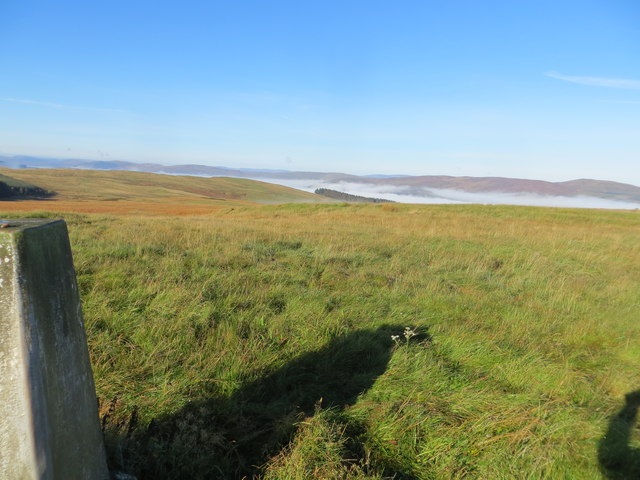
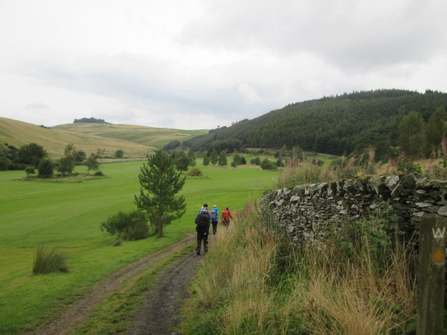
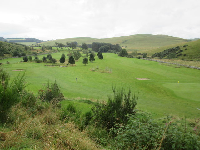
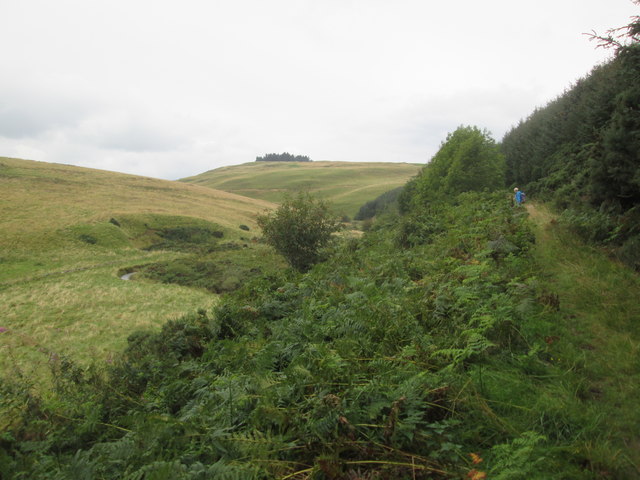
Headshaw Plantation is a sprawling woodland located in Roxburghshire, Scotland. Situated in the heart of the picturesque Scottish Borders, this plantation covers a significant area, encompassing dense forests and verdant woodlands.
The plantation is known for its diverse range of tree species, including oak, beech, and conifers such as Scots pine. These trees provide a habitat for a variety of wildlife, making Headshaw Plantation a haven for nature enthusiasts and bird watchers. Red squirrels, roe deer, and various bird species can often be spotted amongst the trees and foliage.
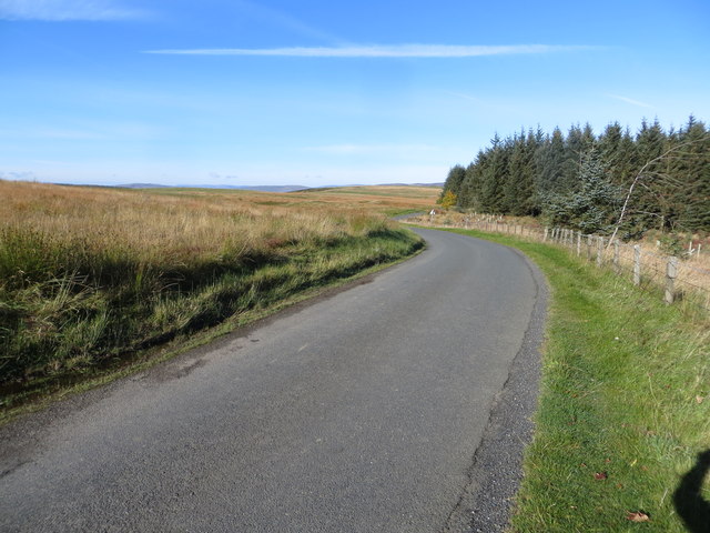
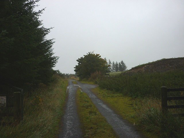
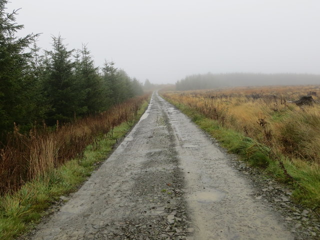
Headshaw Plantation offers a range of outdoor activities for visitors to enjoy. There are numerous walking trails and pathways, allowing visitors to explore the plantation's scenic beauty at their own pace. These trails are well-maintained and provide breathtaking views of the surrounding countryside.
Furthermore, the plantation also offers opportunities for recreational activities such as cycling, picnicking, and wildlife spotting. The serene atmosphere and tranquil ambiance make it an ideal destination for those seeking solitude and relaxation amidst nature.
The management of Headshaw Plantation actively engages in sustainable forestry practices, ensuring the long-term preservation of the woodland. Regular tree planting and maintenance programs are undertaken, contributing to the continued growth and health of the plantation.
Overall, Headshaw Plantation in Roxburghshire is a captivating woodland destination, offering a unique blend of natural beauty, wildlife, and recreational activities. Whether one seeks an adventurous hike or a peaceful retreat, this plantation provides a memorable experience for all nature enthusiasts.
If you have any feedback on the listing, please let us know in the comments section below.
Headshaw Plantation Images
Images are sourced within 2km of 55.502498/-2.8723343 or Grid Reference NT4423. Thanks to Geograph Open Source API. All images are credited.


Headshaw Plantation is located at Grid Ref: NT4423 (Lat: 55.502498, Lng: -2.8723343)
Unitary Authority: The Scottish Borders
Police Authority: The Lothians and Scottish Borders
What 3 Words
///adventure.copes.captions. Near Selkirk, Scottish Borders
Nearby Locations
Related Wikis

Woll
Woll is a village on the Ale Water, off the A7, in the Ettrick Forest, north of Hawick, and south of Selkirk in the Scottish Borders area of Scotland....

Oakwood Roman Fort and Camp
Oakwood Roman Fort and Camp is a British archaeological site, a Roman fort and nearby Roman camp, about 3.5 miles (5.6 km) south-west of Selkirk in the...
Salenside
Salenside is a village off the A7, on the Ale Water, near Ashkirk, in the Scottish Borders area of Scotland, in the former Selkirkshire. There was a Salenside...

Ashkirk
Ashkirk is a small village on the Ale Water, in the Scottish Borders area of Scotland. It is located just off the A7 road, approximately 6 miles (10 kilometres...

Carterhaugh
Carterhaugh is a wood and farm near the confluence of the Yarrow Water and the Ettrick Water near Selkirk in the Scottish Borders. This real location...
Bowhill, Scottish Borders
Bowhill is a village off the A708, in the Scottish Borders area of Scotland, near Selkirk, by the Yarrow Water Other places nearby include Bowhill House...

Aikwood Tower
Aikwood Tower (formerly known as Oakwood Tower) is a 16th-century tower house in the Scottish Borders area of Scotland, 4 miles (6 kilometres) southwest...

Battle of Philiphaugh
The Battle of Philiphaugh was fought on 13 September 1645 during the Wars of the Three Kingdoms near Selkirk in the Scottish Borders. The Royalist army...
Nearby Amenities
Located within 500m of 55.502498,-2.8723343Have you been to Headshaw Plantation?
Leave your review of Headshaw Plantation below (or comments, questions and feedback).