Bees Wood
Wood, Forest in Roxburghshire
Scotland
Bees Wood

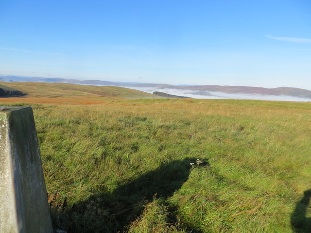
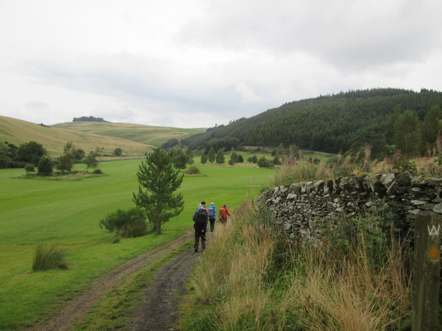
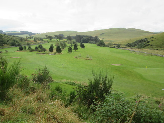
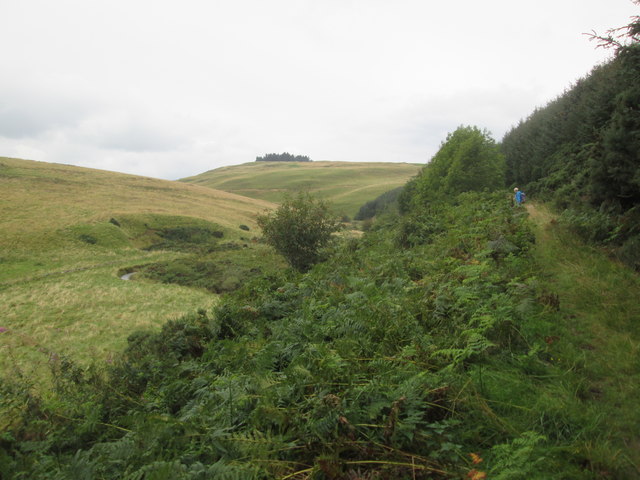
Bees Wood is a picturesque forest located in the county of Roxburghshire, Scotland. Spanning over a vast area, this woodland is known for its rich biodiversity and stunning natural beauty. The wood is situated near the small village of Bees, which adds to its charm and accessibility.
The forest is primarily composed of native tree species, with a dense canopy that provides a perfect habitat for a wide range of wildlife. Visitors to Bees Wood can expect to encounter a variety of bird species, including owls, woodpeckers, and songbirds. The wood is also home to several mammal species, such as deer, foxes, and squirrels, which can often be spotted by keen observers.
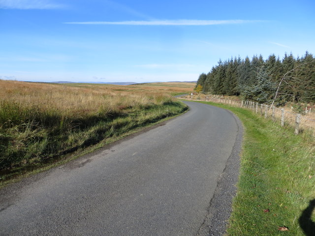
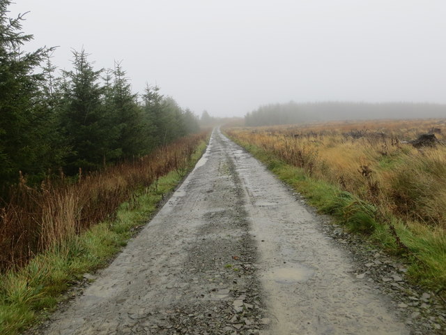
One of the most striking features of Bees Wood is its scenic walking trails. These well-maintained paths allow visitors to explore the forest and discover its hidden treasures. Whether it's a leisurely stroll or a more challenging hike, these trails cater to all levels of fitness and provide breathtaking views of the surrounding countryside.
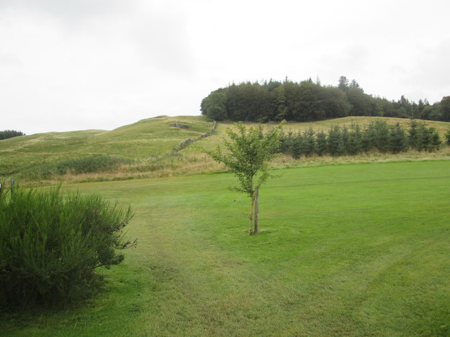
In addition to its natural beauty, Bees Wood also has historical significance. It is believed that the wood has been in existence for centuries, and remnants of old settlements and ancient forts can still be found within its boundaries. This makes it an intriguing destination for history enthusiasts and those interested in the region's cultural heritage.
Overall, Bees Wood is a must-visit destination for nature lovers, offering a tranquil escape from the hustle and bustle of urban life. With its diverse wildlife, stunning landscapes, and historical significance, this forest in Roxburghshire promises a memorable experience for all who venture into its depths.
If you have any feedback on the listing, please let us know in the comments section below.
Bees Wood Images
Images are sourced within 2km of 55.499626/-2.8769248 or Grid Reference NT4423. Thanks to Geograph Open Source API. All images are credited.


Bees Wood is located at Grid Ref: NT4423 (Lat: 55.499626, Lng: -2.8769248)
Unitary Authority: The Scottish Borders
Police Authority: The Lothians and Scottish Borders
What 3 Words
///lifelong.success.chiefs. Near Selkirk, Scottish Borders
Nearby Locations
Related Wikis

Woll
Woll is a village on the Ale Water, off the A7, in the Ettrick Forest, north of Hawick, and south of Selkirk in the Scottish Borders area of Scotland....

Oakwood Roman Fort and Camp
Oakwood Roman Fort and Camp is a British archaeological site, a Roman fort and nearby Roman camp, about 3.5 miles (5.6 km) south-west of Selkirk in the...
Salenside
Salenside is a village off the A7, on the Ale Water, near Ashkirk, in the Scottish Borders area of Scotland, in the former Selkirkshire. There was a Salenside...

Ashkirk
Ashkirk is a small village on the Ale Water, in the Scottish Borders area of Scotland. It is located just off the A7 road, approximately 6 miles (10 kilometres...

Carterhaugh
Carterhaugh is a wood and farm near the confluence of the Yarrow Water and the Ettrick Water near Selkirk in the Scottish Borders. This real location...
Bowhill, Scottish Borders
Bowhill is a village off the A708, in the Scottish Borders area of Scotland, near Selkirk, by the Yarrow Water Other places nearby include Bowhill House...

Aikwood Tower
Aikwood Tower (formerly known as Oakwood Tower) is a 16th-century tower house in the Scottish Borders area of Scotland, 4 miles (6 kilometres) southwest...

Battle of Philiphaugh
The Battle of Philiphaugh was fought on 13 September 1645 during the Wars of the Three Kingdoms near Selkirk in the Scottish Borders. The Royalist army...
Nearby Amenities
Located within 500m of 55.499626,-2.8769248Have you been to Bees Wood?
Leave your review of Bees Wood below (or comments, questions and feedback).