Connage Plantation
Wood, Forest in Banffshire
Scotland
Connage Plantation

Connage Plantation is a sprawling wood and forest located in the picturesque region of Banffshire, Scotland. Covering a vast area of lush greenery, it is a nature lover's paradise and a popular destination for outdoor enthusiasts.
The plantation is known for its diverse range of tree species, including towering Scots pine, oak, and birch trees. These trees provide a rich habitat for a variety of wildlife, making it a haven for birdwatchers and animal enthusiasts. Visitors can often spot rare species such as red squirrels, roe deer, and a multitude of bird species.
Connage Plantation offers a network of well-maintained trails that wind through the forest, allowing visitors to explore its beauty at their own pace. These paths are suitable for both leisurely walks and more challenging hikes, providing options for all fitness levels.
The plantation is also home to a unique arboretum, which showcases a collection of exotic trees from around the world. This adds an element of fascination and education for visitors, as they can learn about different tree species and their origins.
For those looking to immerse themselves in the tranquility of nature, Connage Plantation offers peaceful picnic spots and secluded areas where one can relax and enjoy the breathtaking surroundings. It is also a popular spot for photography enthusiasts, as the forest offers stunning vistas and opportunities to capture the beauty of nature.
Overall, Connage Plantation is a captivating destination that showcases the natural beauty of Banffshire. With its diverse range of trees, abundant wildlife, and well-maintained trails, it offers a memorable experience for all who visit.
If you have any feedback on the listing, please let us know in the comments section below.
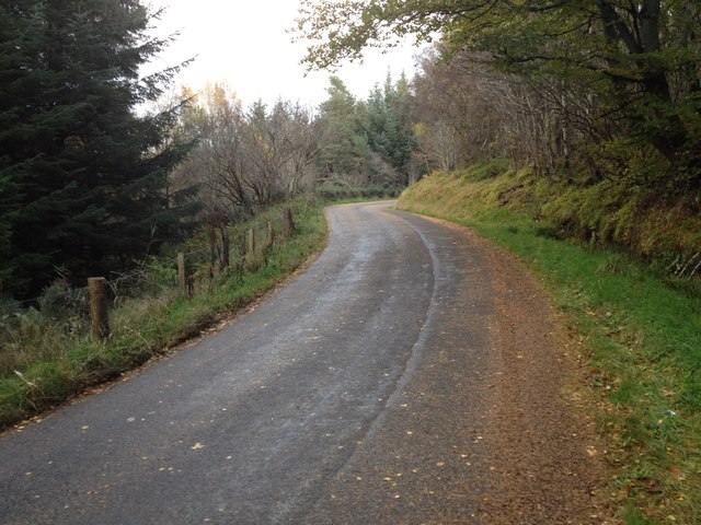
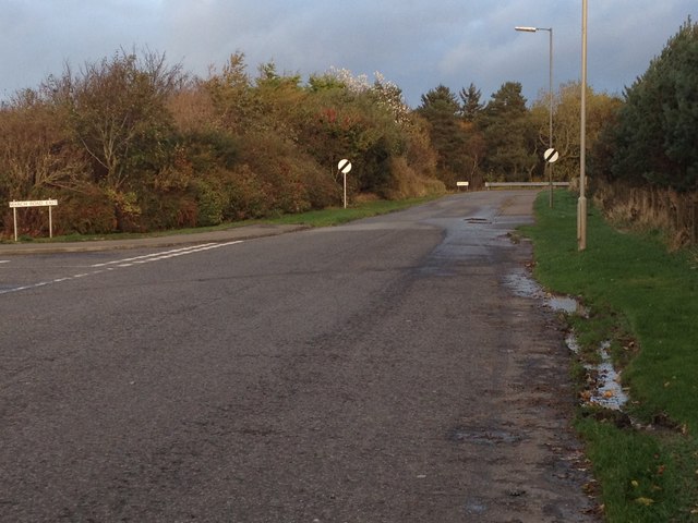
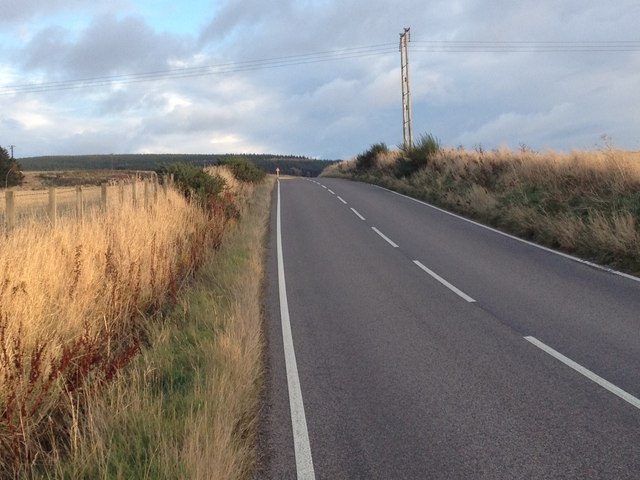
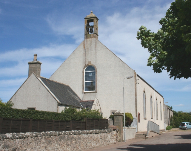
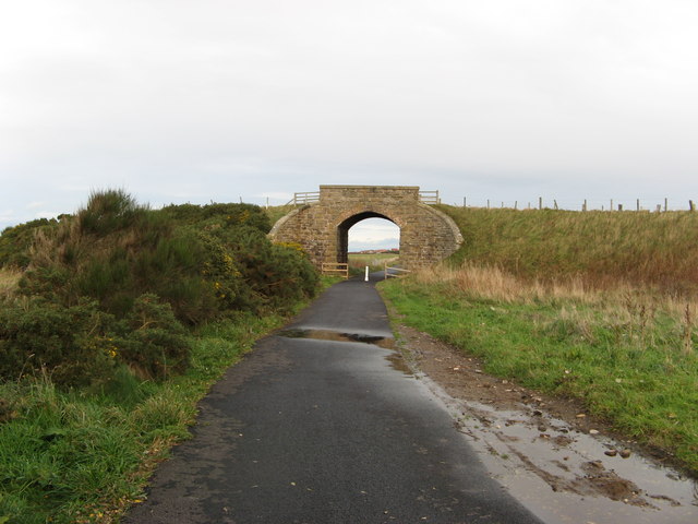
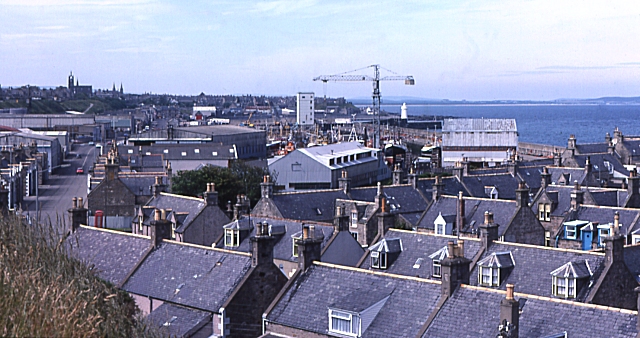
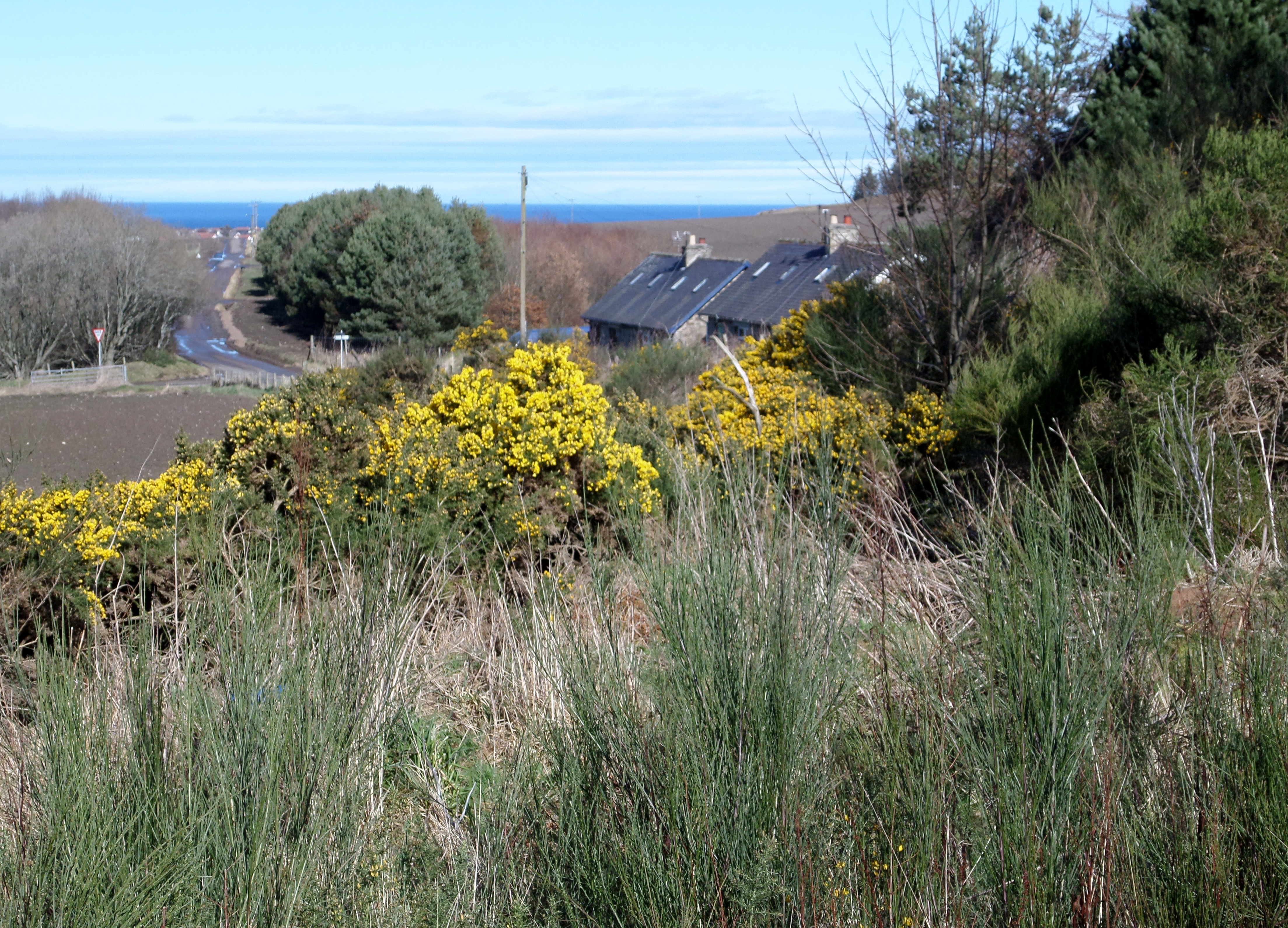
Connage Plantation Images
Images are sourced within 2km of 57.669242/-2.9269666 or Grid Reference NJ4464. Thanks to Geograph Open Source API. All images are credited.


Connage Plantation is located at Grid Ref: NJ4464 (Lat: 57.669242, Lng: -2.9269666)
Unitary Authority: Moray
Police Authority: North East
What 3 Words
///prayers.porridge.bonus. Near Buckie, Moray
Nearby Locations
Related Wikis

Buckie railway station (Highland Railway)
Buckie railway station was one of two stations which once served the town of Buckie, in the parish of Rathven, Scottish county of Moray. This Highland...
Rathven railway station
Rathven railway station was a station which served the hamlet of that name, about a mile away in the parish of Rathven, Scottish county of Moray. It was...
Rathven
Rathven (Scots: Raffin) is an ecclesiastical parish, village and former civil parish in the historic county of Banff, now in Moray, Scotland. The civil...
Portessie railway station
Portessie railway station was a joint Highland Railway (HR) and Great North of Scotland Railway (GNoSR) station at the junction between the Moray Coast...
Portessie
Portessie (Scots: Peterhythe or The Sloch) is a small fishing village east of Buckie, on the north-east coast of Scotland. It is commonly nicknamed "the...
Ianstown
Ianstown (Scottish Gaelic: Baile Iain) is a small village on the Moray Firth in Scotland. It lies within the council area of Moray. Its OS grid reference...
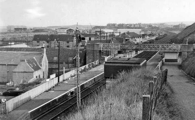
Buckie railway station
Buckie railway station was a railway station in Buckie, in current day Moray. The station was opened by the Great North of Scotland Railway (GNoSR) on...
Drybridge Platform railway station
Drybridge Platform railway station or Drybridge railway station was a station which served the hamlet of that name in the parish of Rathven and in addition...
Nearby Amenities
Located within 500m of 57.669242,-2.9269666Have you been to Connage Plantation?
Leave your review of Connage Plantation below (or comments, questions and feedback).