Pusk Wood
Wood, Forest in Fife
Scotland
Pusk Wood
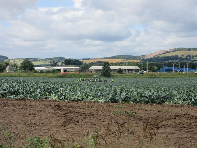
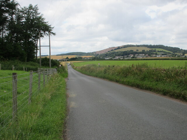
Pusk Wood is a beautiful forest located in Fife, Scotland. Covering an area of approximately 100 hectares, it is one of the largest woodlands in the region. The forest is surrounded by rolling hills and picturesque landscapes, making it a popular destination for nature lovers and outdoor enthusiasts.
Pusk Wood is primarily composed of native broadleaf trees, such as oak, birch, and beech, which create a diverse and vibrant ecosystem. The lush undergrowth is home to a variety of plant species, including bluebells, primroses, and wild garlic, which provide a colorful display during springtime.
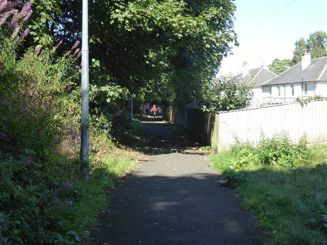
The forest is crisscrossed by a network of well-maintained walking trails, offering visitors the opportunity to explore the wood at their own pace. These paths lead through different sections of the forest, providing access to various viewpoints, clearings, and tranquil spots for picnics or relaxation.
Pusk Wood is also known for its abundant wildlife. Visitors may encounter a wide range of bird species, such as great spotted woodpeckers, nuthatches, and tawny owls. Deer, foxes, and squirrels are also frequently spotted within the woodland, adding to the enchanting atmosphere.
Additionally, Pusk Wood has a rich history, with evidence of human activity dating back to prehistoric times. Archaeological sites, including ancient burial mounds and stone circles, can be found within the forest, adding an element of intrigue and mystique to this natural haven.
Overall, Pusk Wood offers a serene and captivating experience for those seeking a peaceful retreat amidst nature's beauty.
If you have any feedback on the listing, please let us know in the comments section below.
Pusk Wood Images
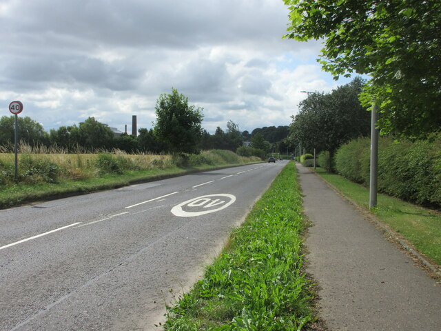
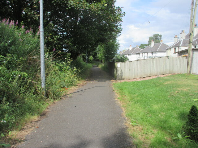
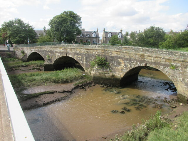
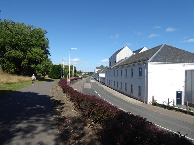
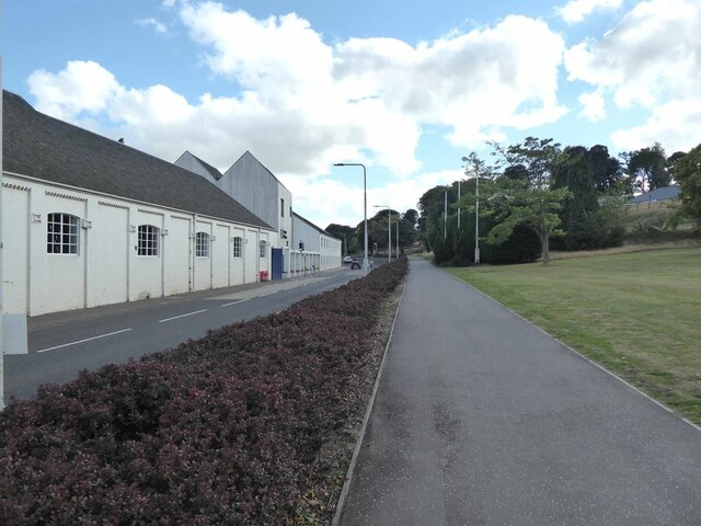
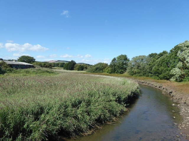
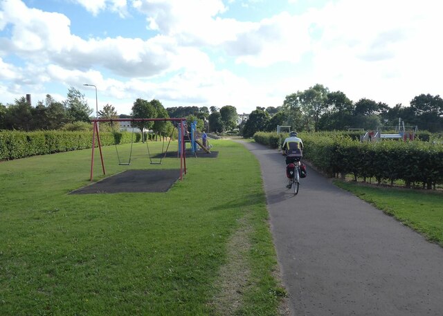
Images are sourced within 2km of 56.377457/-2.9020911 or Grid Reference NO4420. Thanks to Geograph Open Source API. All images are credited.


Pusk Wood is located at Grid Ref: NO4420 (Lat: 56.377457, Lng: -2.9020911)
Unitary Authority: Fife
Police Authority: Fife
What 3 Words
///sensible.equipping.visa. Near Leuchars, Fife
Nearby Locations
Related Wikis
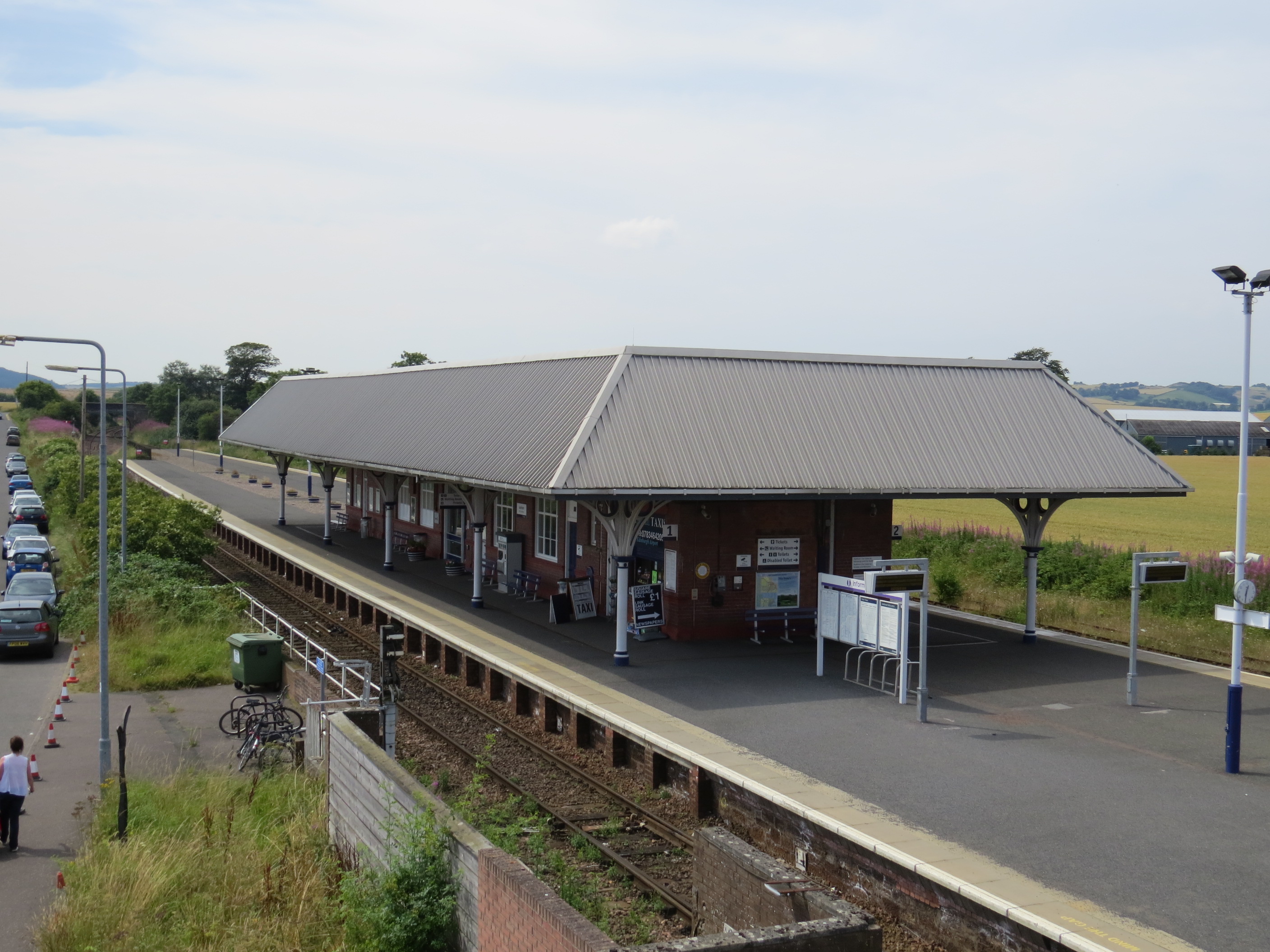
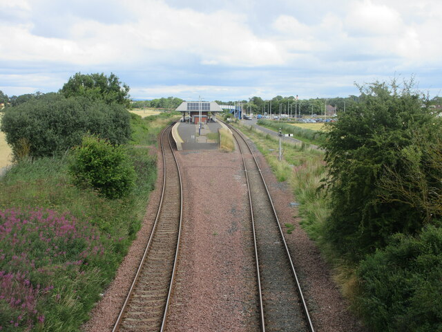
Leuchars railway station
Leuchars railway station ( LEW-khərs, sometimes known as Leuchars (for St. Andrews)) serves the towns of Leuchars and St Andrews in Fife, Scotland. The...

Leuchars (Old) railway station
Leuchars (Old) railway station served the town of Leuchars, Fife, Scotland from 1848 to 1921 on the Edinburgh and Northern Railway. == History == The station...
Leuchars
Leuchars (pronounced or ; Scottish Gaelic: Luachar "rushes") is a small town and parish near the north-east coast of Fife in Scotland. The civil parish...
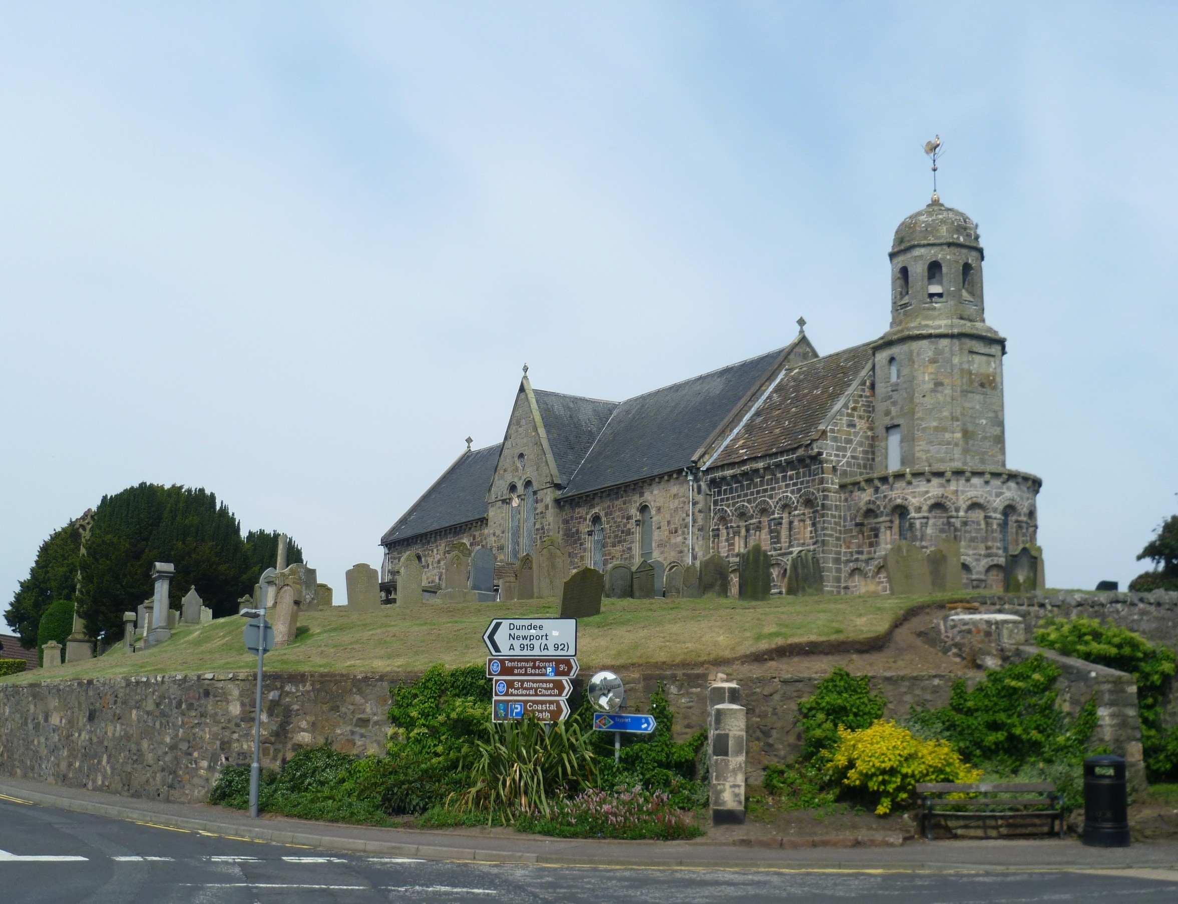
St Athernase Church
St Athernase Church is a Romanesque church located in Leuchars, Fife, Scotland. It is a Category A listed building and remains in use as a Church of Scotland...
Nearby Amenities
Located within 500m of 56.377457,-2.9020911Have you been to Pusk Wood?
Leave your review of Pusk Wood below (or comments, questions and feedback).