Nydie Wood

Wood, Forest in Fife

Scotland

Nydie Wood

The road to Kincaple, Strathkinness
The road to Kincaple, Strathkinness Credit: Mark Anderson

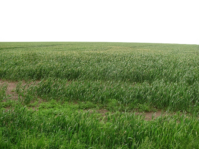
Nydie Wood is a charming forest located in Fife, Scotland. Covering an area of approximately 90 hectares, this woodland is nestled within the scenic beauty of the countryside, offering a tranquil retreat for nature lovers and outdoor enthusiasts alike.

The woodland is predominantly composed of mixed coniferous and broadleaf trees, including Scots pine, oak, birch, and beech. This diverse range of tree species creates a rich and vibrant habitat for various wildlife, such as red squirrels, roe deer, and a plethora of bird species. Visitors can witness these creatures in their natural surroundings, making it an ideal spot for birdwatching and wildlife photography.

Nydie Wood is crisscrossed by a network of well-maintained trails, allowing visitors to explore the forest at their leisure. These paths cater to all levels of fitness and provide opportunities for walking, jogging, and cycling. Additionally, the forest's proximity to the nearby coastline and rolling hills provides breathtaking views and a chance to witness the beauty of the surrounding landscape.

The wood is also popular for its recreational activities, with designated areas for camping and picnicking. Families often visit to enjoy a day outdoors, engaging in activities like den building, orienteering, and nature scavenger hunts. The tranquil atmosphere and abundance of nature make Nydie Wood an ideal place for relaxation and outdoor education.

Overall, Nydie Wood in Fife offers a picturesque and diverse woodland experience, combining stunning natural beauty, wildlife encounters, and various recreational opportunities. Whether seeking solitude or adventure, this forest provides an enchanting escape from the bustling city life.

If you have any feedback on the listing, please let us know in the comments section below.

Nydie Wood Images

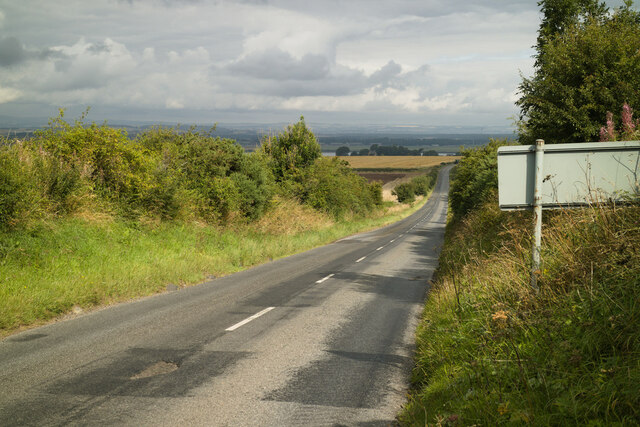
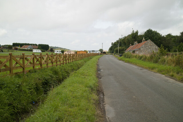
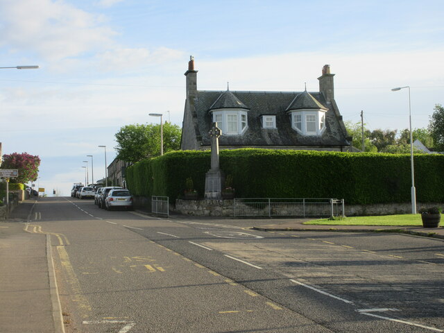
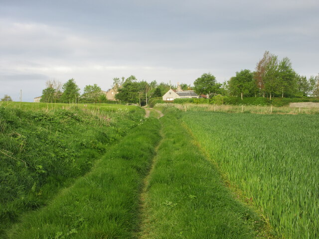
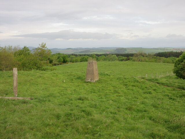
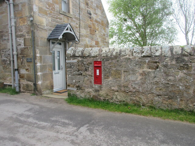
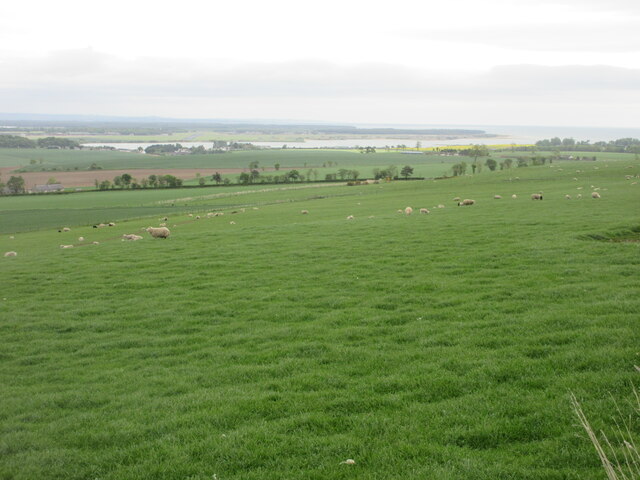
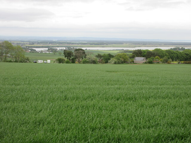
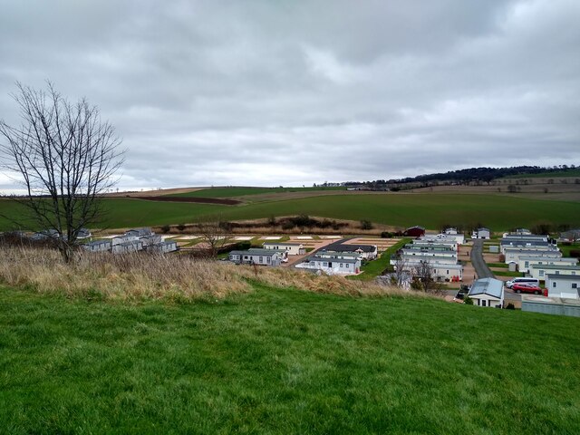
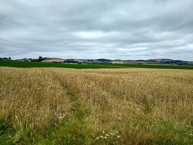
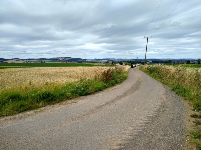
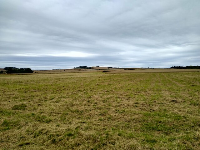
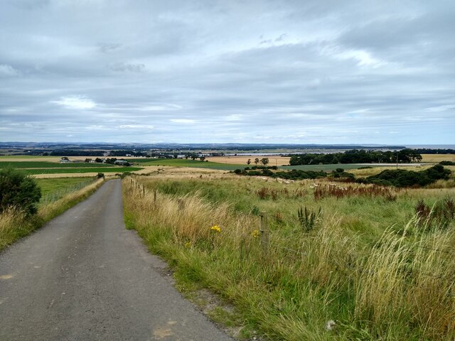
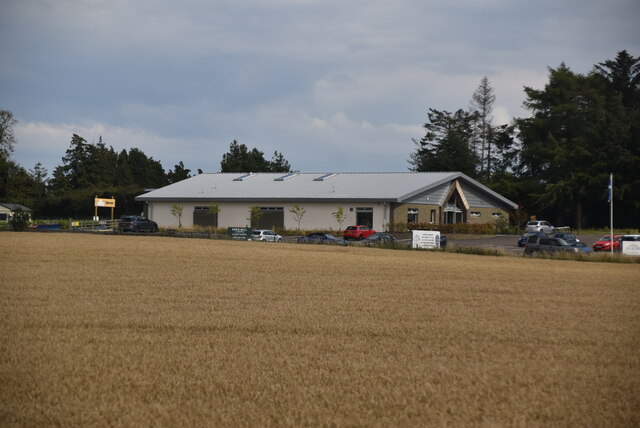
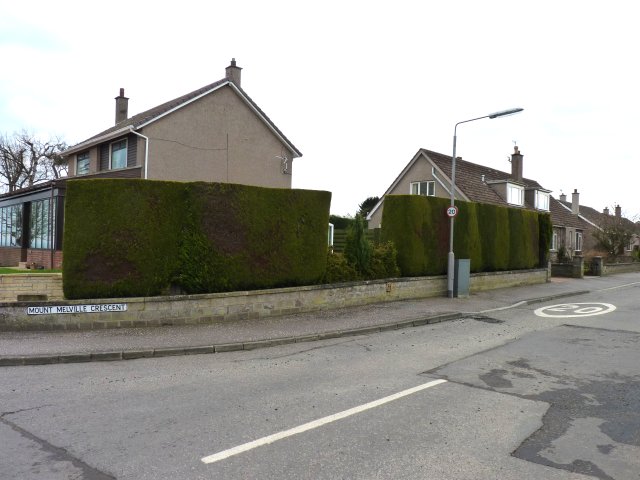
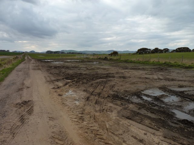
Images are sourced within 2km of 56.33996/-2.9015617 or Grid Reference NO4416. Thanks to Geograph Open Source API. All images are credited.

The road to Kincaple, Strathkinness
Nydie Caravan & Campsite
Road on Knock Hill
Road on Knock Hill
Strathkinness War Memorial The war memorial on the main street in the village of Strathkinness.
Strathkinness War Memorial
The war memorial on the main street in the village of Strathkinness.
Old track heading for Clatto Looking west along the old track between Strathkinness and Clatto.
Old track heading for Clatto
Looking west along the old track between Strathkinness and Clatto.
Clatto Hill Trig Pillar The triangulation pillar on Clatto Hill, looking north-westwards.
Clatto Hill Trig Pillar
The triangulation pillar on Clatto Hill, looking north-westwards.
Victorian wallbox at Blebocraigs VR embossed post box next to the Old Post Office at Blebocraigs.
Victorian wallbox at Blebocraigs
VR embossed post box next to the Old Post Office at Blebocraigs.
Sheep on the north slope of Clatto Hill Looking north-east over a field of sheep, with the Eden Estuary in the distance.
Sheep on the north slope of Clatto Hill
Looking north-east over a field of sheep, with the Eden Estuary in the distance.
Looking down from Knock Hill Looking north-east down a field near Knockhill, with the Eden Estuary in the distance.
Looking down from Knock Hill
Looking north-east down a field near Knockhill, with the Eden Estuary in the distance.
Caravan park expansion One of the more recent extensions of Clayton Caravan Park at the banks of Eden River.
Caravan park expansion
One of the more recent extensions of Clayton Caravan Park at the banks of Eden River.
Field near Nydie A mature cereal field near the farm Nydie Mains.
Field near Nydie
A mature cereal field near the farm Nydie Mains.
Road to Newton of Nydie A very minor road leads to Newton of Nydie and not much further.
Road to Newton of Nydie
A very minor road leads to Newton of Nydie and not much further.
Knock Hill from the east Rough grassland, lots of it, which slopes gently towards the west. The 'hill', if we are allowed to call it that, is called Knock Hill.
Knock Hill from the east
Rough grassland, lots of it, which slopes gently towards the west. The 'hill', if we are allowed to call it that, is called Knock Hill.
Sheep at Newton Wood This road leads past Newton Wood to Newton of Nydie.
Sheep at Newton Wood
This road leads past Newton Wood to Newton of Nydie.
Eden Mill
Eden Mill
Neatly trimmed hedge On the corner of Mount Melville Crescent.
Neatly trimmed hedge
On the corner of Mount Melville Crescent.
Track to the west Leading west from the road north of Strathkinness.
Track to the west
Leading west from the road north of Strathkinness.
Arable land near Monksholm Arable land on slopes above the Eden estuary.
Arable land near Monksholm
Arable land on slopes above the Eden estuary.
Show me another place!

Nydie Wood is located at Grid Ref: NO4416 (Lat: 56.33996, Lng: -2.9015617)

Unitary Authority: Fife

Police Authority: Fife

What 3 Words

///bulky.novel.tags. Near Balmullo, Fife

Nearby Locations

Nydie Wood

Related Wikis

Strathkinness

Strathkinness is a small village located 3 miles to the west of St Andrews in North East Fife. A key characteristic of the village is the newly developed...

Blebo Craigs

Blebo Craigs, or Blebocraigs is a village in rural Fife, Scotland. The village contains around one hundred houses on the south-facing slope of the hill...

St Andrews Rail Link

The St Andrews Rail Link (StARLink) Campaign was established in 1989 with the aim of reconnecting Scottish town of St Andrews to the railway. The historical...

Guardbridge railway station

Guardbridge railway station served the village of Guardbridge, Fife, Scotland from 1862 to 1965 on The St. Andrews Railway. == History == The station opened...

Nearby Amenities

Located within 500m of 56.33996,-2.9015617
Power: pole
Lat/Long: 56.3425064/-2.9070663
Power: pole
Lat/Long: 56.3418502/-2.9064019
Power: pole
Lat/Long: 56.3412237/-2.9057684
Power: pole
Lat/Long: 56.3408015/-2.9053316
Power: pole
Lat/Long: 56.3403862/-2.9049218
Power: pole
Lat/Long: 56.3400351/-2.9046403
Power: pole
Lat/Long: 56.3397035/-2.9044829
Power: pole
Lat/Long: 56.3389772/-2.9040317
Power: pole
Lat/Long: 56.3385355/-2.9037398
Power: pole
Lat/Long: 56.3379469/-2.9033693
Power: pole
Lat/Long: 56.3380226/-2.9024046
Power: pole
Lat/Long: 56.3380846/-2.9016594
Power: pole
Lat/Long: 56.3381327/-2.9008914
Power: pole
Lat/Long: 56.3378947/-2.9007289
Power: pole
Lat/Long: 56.3375304/-2.9007662
Power: pole
Lat/Long: 56.3406719/-2.903953
Power: pole
Lat/Long: 56.3409977/-2.9028559
Power: pole
Lat/Long: 56.3413052/-2.901765
Power: pole
Lat/Long: 56.3416322/-2.9006699
Power: pole
Lat/Long: 56.3419557/-2.8995769
Power: pole
Lat/Long: 56.3422574/-2.8983867
Power: pole
Lat/Long: 56.3425133/-2.8971757
Power: pole
Lat/Long: 56.3427313/-2.8959709
Power: pole
Lat/Long: 56.3379664/-2.9039592
Power: pole
Lat/Long: 56.3380008/-2.9045968
Power: pole
Lat/Long: 56.3374781/-2.9014276
Power: pole
Lat/Long: 56.3374615/-2.9002052
Power: pole
Lat/Long: 56.3374202/-2.8996929
Power: pole
Lat/Long: 56.3373772/-2.8991215
Marker: pipeline
Utility: gas
Lat/Long: 56.3373163/-2.8962457
The data included in this document is from www.openstreetmap.org. The data is made available under ODbL.

Have you been to Nydie Wood?

Leave your review of Nydie Wood below (or comments, questions and feedback).